
Archaeological sites · Scottish Highlands
Ledgowan Forest
Ledgowan Forest — deer forest in Scotland.

Alpin Stewart — CC BY-SA 2.0 via Wikimedia Commons licence

Plan your visit
- Typical visit
- 45 min–1.5 h
- Nearest railway station
- Achnasheen · 5.9 km
- Free entry
- Dog-friendly
Getting there & planning your visit
To visit Ledgowan Forest in the Scottish Highlands, the nearest railway station is Achnasheen, located 5.9 km away. Entry to the site is free.
About
Ledgowan Forest is an archaeological site in the United Kingdom. Wikidata describes it as: "deer forest in Scotland". Coordinates: 57.5467°, -5.1508°.
Photo gallery
From the Wikipedia article
Ledgowan Forest is a deer forest in the Northwest Highlands of Scotland. It stands in Wester Ross to the southwest of Achnasheen. Ledgowan Forest is the location of Carron Bog, the starting point of the River Carron. Ledgowan Estate (which is almost synonymous with Ledgowan Forest) is owned by Rainheath Ltd, and extends over 12,000 acres (49 km2) in this area. There is a hunting lodge just to the west of Achnasheen. Ledgowan was previously owned by Major Robert Ross, father of Walter John Macdonald Ross and grandfather of the courtier Malcolm Ross. The main attraction of Ledgowan Forest is stalking (as deer hunting is called in Scotland). Stalking is available on two separate beats on a mix of rolling hills and steep corries. Large stags are plentiful and the area was mentioned several times in the recent Half a Century of Scottish Deer Stalking by G. Kenneth Whitehead. This region also offers wild trout fishing on the River Bran and lochs including Loch a'Chroisg and Loch Gowan. There is also Salmon fishing on the River Blackwater and gillies may be hired for this purpose. Grouse shooting occur locally in small numbers as well.
Excerpt from Wikipedia under CC BY-SA 4.0. See the source article linked in Sources below.
- Coordinates
- 57.5467, -5.1508
- Nearest railway station
- Achnasheen — 5.9 km
Sources
- wikidata: Q6512669 (CC0)
- wikipedia: Ledgowan Forest (CC BY-SA 4.0)
Other places nearby

Carn Beag
Mountains & hills · 0.8 km
Carn Beag
Mountains & hills · 0.8 km

Càrn Beag
Mountains & hills · 0.9 km

River Carron
Forests & woodlands · 1.2 km

An Liathanach
Mountains & hills · 1.9 km

Beinn na Feusaige
Mountains & hills · 2.0 km

Loch a’ Chroisg
Lakes · 2.2 km

Beinn na Feusaige
Mountains & hills · 2.4 km

Loch Sgamhain
Lakes · 2.4 km
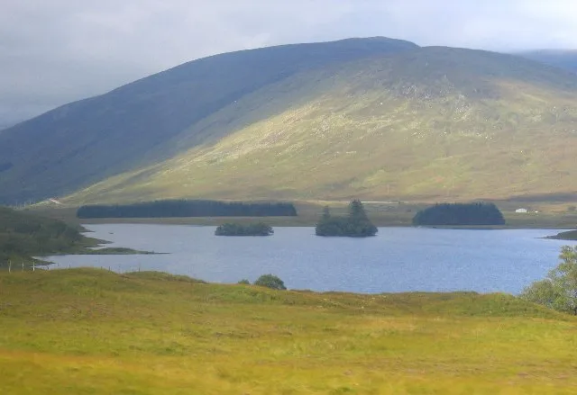
Loch Scaven
Natural landmarks · 2.7 km
B-26C Marauder 41-34707 Crash Memorial Cairn
Memorials & monuments · 2.9 km

Loch Gowan
Lakes · 3.1 km
Nearby
📷 5Mountains & hills · Scottish Highlands
Carn Beag
Carn Beag — a hill or mountain in scotland highlands.
📷 5Mountains & hills · Scottish Highlands
Carn Beag
Carn Beag — mountain in scotland highlands. Elevation: 540 m.
📷 3Mountains & hills · Scottish Highlands
Càrn Beag
Càrn Beag — a mountain in scotland-highlands, United Kingdom.
📷 5Forests & woodlands · Scottish Highlands
River Carron
River Carron in Scotland Islands, United Kingdom.
📷 5Mountains & hills · Scottish Highlands
An Liathanach
An Liathanach — a hill or mountain in scotland highlands.
📷 5Mountains & hills · Scottish Highlands
Beinn na Feusaige
Beinn na Feusaige — mountain in scotland highlands. Elevation: 625 m.
Where to eat & stay near Ledgowan Forest
Places to stay
 📷 5
📷 5Caravan parks · Scottish Highlands
Ledgowan Lodge Campsite
Ledgowan Lodge Campsite — a caravan park in scotland highlands.
 📷 5
📷 5Hostels · Scottish Highlands
Gerry's Hostel
Gerry's Hostel — a hostel in scotland highlands.
 📷 5
📷 5Hostels · Scottish Highlands
Kinlochewe Bunkhouse
Kinlochewe Bunkhouse — a hostel in scotland highlands.
 📷 5
📷 5Caravan parks · Scottish Highlands
Kinlochewe Caravan Club Site
Kinlochewe Caravan Club Site — a caravan park in scotland highlands.
 📷 5
📷 5Campsites · Scottish Highlands
Beinn Eighe Campsite
Beinn Eighe Campsite — a campsite in scotland highlands.
 📷 5
📷 5Campsites · Scottish Highlands
Torridon Camp Site
Torridon Camp Site — a campsite in scotland highlands.
More archaeological sites in this region
 📷 5
📷 5Archaeological sites · Scottish Highlands
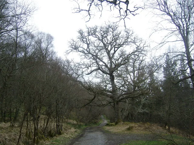
Ariundle Oakwood National Nature Reserve
Ariundle Oakwood National Nature Reserve — forested nature reserve in Highland, Scotland, UK.
 📷 3
📷 3Archaeological sites · Scottish Highlands
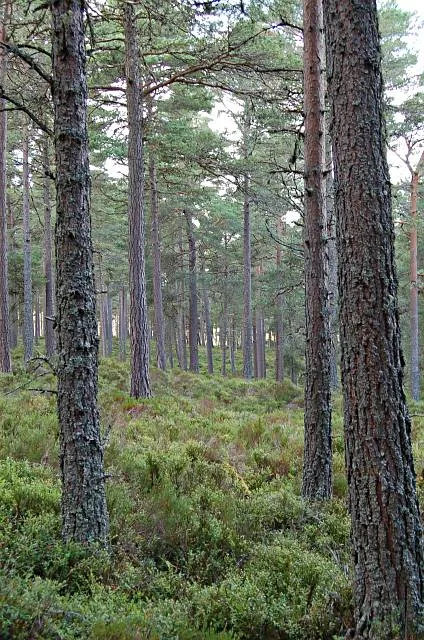
Abernethy Forest
Abernethy Forest — forest in Highland, Scotland, UK.
 📷 3
📷 3Archaeological sites · Scottish Highlands
Abriachan Forest
Abriachan Forest — Forest near Abriachan village in Scotland.
 📷 3
📷 3Archaeological sites · Scottish Highlands
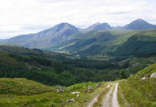
Achnashellach Forest
Achnashellach Forest is a archaeological site in the United Kingdom.
Frequently asked questions
- Where is Ledgowan Forest?
- Ledgowan Forest is in the Scottish Highlands, United Kingdom.
- What is Ledgowan Forest?
- Ledgowan Forest — deer forest in Scotland.
- How do I get to Ledgowan Forest?
- The nearest railway station is Achnasheen, about 5.9 km away. Its coordinates are 57.5467°, -5.1508°.
- Is Ledgowan Forest free to visit?
- Yes, Ledgowan Forest is free to enter.
- How do I get to Ledgowan Forest?
- The nearest railway station is Achnasheen, about 5.9 km away.