
Archaeological sites · North East England
Late prehistoric walled settlement
In or near Gilmonby.
Late prehistoric walled settlement — archaeological in england north east.

Trevor Littlewood — CC BY-SA 2.0 via Wikimedia Commons licence

Plan your visit
- Typical visit
- 45 min–1.5 h
About
Late prehistoric walled settlement is a archaeological located in england north east. A British archaeological site recorded in OpenStreetMap with at least one heritage quality signal (Wikidata link, Wikipedia article or designated operator).
Photo gallery
Protected designations
- Site of Special Scientific Interest: Bowes Moor SSSI
- Area of Outstanding Natural Beauty: North Pennines
Designations sourced from Natural England open data under OGL v3.
Place summary
The Late prehistoric walled settlement is an archaeological site located in North-East England. This site features substantial remnants of ancient defensive structures, reflecting the social and military practices of the time. It offers insights into the settlement patterns and lifestyles of late prehistoric communities in the region. The site is of significant interest to researchers and visitors keen on understanding Britain's historical landscape.
AI-generated from the structured facts on this page (operator, designation, listing, era). Not a substitute for visiting.
- Coordinates
- 54.5075, -2.0499
- District
- County Durham
- Parish
- Gilmonby
- Postcode
- DL12 9NA
- Parliamentary constituency
- Bishop Auckland
Sources
- osm: n7036970398 (ODbL)
- wikidata: Q66480732 (CC0)
Other places nearby

Late prehistoric walled settlement
Archaeological sites · 0.0 km
Romano-British settlement
Archaeological sites · 0.2 km

Late prehistoric settlement
Archaeological sites · 0.2 km
Late prehistoric settlement
Archaeological sites · 0.2 km
Bridge, 220 Metres North Of East Mellwaters Farmhouse
Historic bridges · 0.4 km

Sleightholme Beck Gorge – The Troughs
Wildlife reserves · 0.6 km
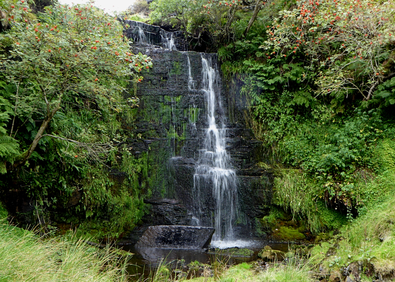
Huggill Force
Waterfalls · 0.8 km

God's Bridge
Wildlife reserves · 1.1 km

Roman Signal Station
Archaeological sites · 2.2 km

Ivy Hall Farm Campsite
Campsites · 2.3 km

Citron Seat
Mountains & hills · 2.4 km

Mill Force
Waterfalls · 2.4 km
Nearby
📷 3Archaeological sites · North East England
Late prehistoric walled settlement
Late prehistoric walled settlement — a archaeological in england-north-east, United Kingdom.
📷 5Archaeological sites · North East England
Romano-British settlement
Romano-British settlement — archaeological in england north east.
📷 3Archaeological sites · North East England
Late prehistoric settlement
Late prehistoric settlement — a archaeological in england-north-east, United Kingdom.
📷 5Archaeological sites · North East England
Late prehistoric settlement
Late prehistoric settlement — archaeological in england north east.
📷 3Historic bridges · North East England
Bridge, 220 Metres North Of East Mellwaters Farmhouse
Bridge, 220 Metres North Of East Mellwaters Farmhouse — Grade II listed building-listed bridge in england-north-east, United Kingdom.
📷 4Wildlife reserves · North East England
Sleightholme Beck Gorge – The Troughs
Sleightholme Beck Gorge – The Troughs in England North East, United Kingdom.
Where to eat & stay near Late prehistoric walled settlement
Places to stay
📷 5Campsites · North East England
Ivy Hall Farm Campsite
Ivy Hall Farm Campsite — a campsite in england north east.
 📷 5
📷 5Campsites · North East England
The Old Armoury Campsite
The Old Armoury Campsite — a campsite in england north east.
 📷 5
📷 5Caravan parks · North East England
Bowfield Farm Camping and Caravaning
Bowfield Farm Camping and Caravaning — a caravan park in england north east.
 📷 5
📷 5Campsites · North East England
The Wilderness Company
The Wilderness Company — a campsite in england north east.
 📷 5
📷 5Campsites · North East England
Barnard Castle Camping and Caravanning Club Site
Barnard Castle Camping and Caravanning Club Site — a campsite in england north east.
 📷 5
📷 5Caravan parks · North East England
Pecknell Farm Caravan Site
Pecknell Farm Caravan Site — a caravan park in england north east.
Places to eat & drink
 📷 5
📷 5Historic pubs · North East England
The White Swan Public House And Swan Cottage
The White Swan Public House And Swan Cottage in England North East, United Kingdom.
 📷 5
📷 5Historic pubs · North East England
Blue Bell Public House
Blue Bell Public House in England North East, United Kingdom.
 📷 5
📷 5Historic pubs · North East England
Turk's Head Public House
Turk's Head Public House in England North East, United Kingdom.
 📷 5
📷 5 📷 6
📷 6Historic pubs · North East England
Commercial Hotel
Commercial Hotel in England North East, United Kingdom.
 📷 5
📷 5More archaeological sites in this region
 📷 5
📷 5Archaeological sites · North East England
Medieval Manorial Site of Low Dinsdale
Medieval Manorial Site of Low Dinsdale — archaeological in england yorkshire.
 📷 3
📷 3Archaeological sites · North East England
Old Smelting Mill
Old Smelting Mill — a archaeological in england-north-west, United Kingdom.
 📷 5
📷 5Archaeological sites · North East England
Roper Castle or Round Table (Roman Signal Station)
Roper Castle or Round Table (Roman Signal Station) — archaeological in england north west.
 📷 5
📷 5Archaeological sites · North East England
Nine Standards Rigg
Nine Standards Rigg — archaeological in england north west. Elevation: 662 m.
Frequently asked questions
- Where is Late prehistoric walled settlement?
- Late prehistoric walled settlement is in North-East England, United Kingdom (postcode DL12 9NA), in the parish of Gilmonby.
- What is Late prehistoric walled settlement?
- Late prehistoric walled settlement — archaeological in england north east.
- How do I get to Late prehistoric walled settlement?
- Drivers can use postcode DL12 9NA.
- Is Late prehistoric walled settlement a protected site?
- Yes — Late prehistoric walled settlement is part of the Bowes Moor SSSI Site of Special Scientific Interest and the North Pennines National Landscape (AONB).
- How do I get to Late prehistoric walled settlement?
- Drivers can navigate to postcode DL12 9NA. It sits within the Bishop Auckland parliamentary constituency.