
Archaeological sites · Scottish Lowlands
Lanemark Collieries Boigside No2
In or near Auchinleck.
Lanemark Collieries Boigside No2 — a archaeological in scotland-lowlands, United Kingdom.

Robert Guthrie — CC BY-SA 2.0 via Wikimedia Commons licence

Plan your visit
- Typical visit
- 45 min–1.5 h
- Nearest railway station
- New Cumnock · 3.0 km
- Free entry
- Dog-friendly
About
Lanemark Collieries Boigside No2 is a archaeological located in scotland-lowlands, United Kingdom. Sourced from OpenStreetMap (ODbL licence); see local listings for visitor information, opening hours and admission details.
Photo gallery
Place summary
Lanemark Collieries Boigside No2 is an archaeological site located in the Scottish Lowlands. It represents remnants of the coal mining industry, reflecting the region's industrial heritage. The site provides insights into the historical methods of coal extraction and the socio-economic context of the period.
AI-generated from the structured facts on this page (operator, designation, listing, era). Not a substitute for visiting.
- Coordinates
- 55.3912, -4.2259
- District
- East Ayrshire
- Postcode
- KA18 4QE
- Parliamentary constituency
- Ayr, Carrick and Cumnock
- Nearest railway station
- New Cumnock — 3 km
Sources
- osm: node/4758178088 (ODbL)
Other places nearby

Old Colliery
Archaeological sites · 0.9 km

Lanemark Colliery Rigfoot No1
Archaeological sites · 1.4 km
New Bank Colliery No1
Archaeological sites · 1.6 km
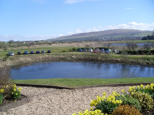
Loch o' th' Lowes
Natural landmarks · 1.8 km

Colliery
Archaeological sites · 1.9 km
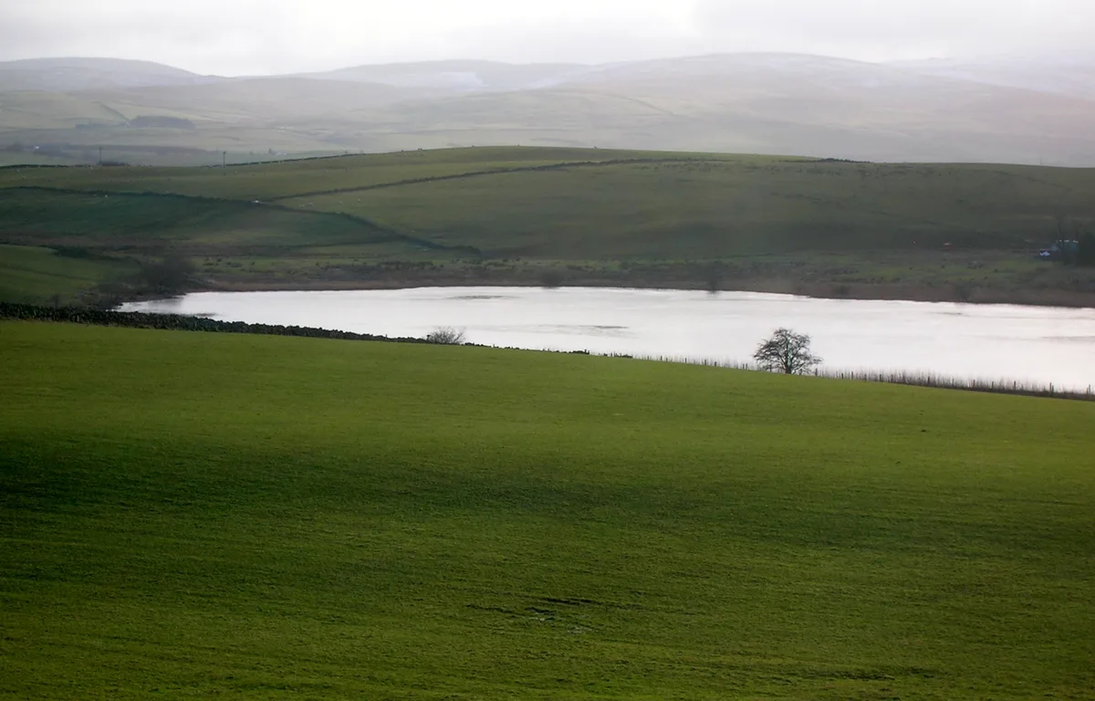
Creoch Loch
Natural landmarks · 2.1 km

Coalburn Colliery
Archaeological sites · 2.2 km

Knockshinnoch Mining Disaster Memorial
Memorials & monuments · 2.3 km
Crosshill Coal Pit
Archaeological sites · 2.4 km

Lanemark Colliery
Archaeological sites · 2.4 km
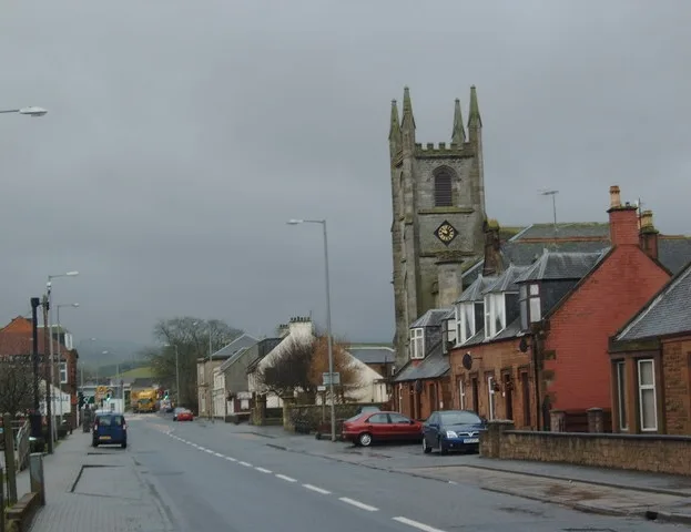
Martyrs Parish Church
Historic churches · 2.7 km

New Cumnock
Villages · 2.7 km
Nearby
📷 3Archaeological sites · Scottish Lowlands
Old Colliery
Old Colliery — a archaeological in scotland-lowlands, United Kingdom.
📷 3Archaeological sites · Scottish Lowlands
Lanemark Colliery Rigfoot No1
Lanemark Colliery Rigfoot No1 — a archaeological in scotland-lowlands, United Kingdom.
📷 3Archaeological sites · Scottish Lowlands
New Bank Colliery No1
New Bank Colliery No1 — a archaeological in scotland-lowlands, United Kingdom.
📷 3Natural landmarks · Scottish Lowlands
Loch o' th' Lowes
Loch o' th' Lowes — lake in New Cumnock, East Ayrshire, Scotland, UK, outflows south via a watercourse to River Nith.
📷 3Archaeological sites · Scottish Lowlands
Colliery
Colliery — a archaeological in scotland-lowlands, United Kingdom.
📷 5Natural landmarks · Scottish Lowlands
Creoch Loch
Creoch Loch — lake in East Ayrshire, Scotland, UK, outflows south via a watercourse to Loch o' th' Lowes.
Where to eat & stay near Lanemark Collieries Boigside No2
Places to stay
 📷 5
📷 5Campsites · Scottish Lowlands
Catrine House Caravan and Camping
Catrine House Caravan and Camping — a campsite in scotland lowlands.
 📷 5
📷 5Caravan parks · Scottish Lowlands
Loch Doon Caravan Park
Loch Doon Caravan Park — a caravan park in scotland lowlands.
 📷 5
📷 5Caravan parks · Scottish Lowlands
Sundrum Castle Holiday Park
Sundrum Castle Holiday Park — a caravan park in scotland lowlands. Brand: Parkdean Resorts.
 📷 5
📷 5Caravan parks · Scottish Lowlands
Crofthead Holiday Park
Crofthead Holiday Park — a caravan park in scotland lowlands.
Places to eat & drink
 📷 5
📷 5Historic pubs · Scottish Lowlands
The Sun Inn, 23 The Square, Cumnock
The Sun Inn, 23 The Square, Cumnock in Scotland Lowlands, United Kingdom.
 📷 7
📷 7Historic pubs · Scottish Lowlands
Commercial Inn, 1-3 Mill Street, Ochiltree
Commercial Inn, 1-3 Mill Street, Ochiltree in Scotland Lowlands, United Kingdom.
 📷 5
📷 5Historic pubs · Scottish Lowlands
Doon Tavern, High Street, Dalmellington
Doon Tavern, High Street, Dalmellington in Scotland Lowlands, United Kingdom.
 📷 7
📷 7Historic pubs · Scottish Lowlands
Queensberry Arms Hotel
Queensberry Arms Hotel in Scotland Lowlands, United Kingdom.
 📷 5
📷 5Historic pubs · Scottish Lowlands
Loudoun Arms, 69 Main Street, Newmilns
Loudoun Arms, 69 Main Street, Newmilns in Scotland Central, United Kingdom.
More archaeological sites in this region
 📷 3
📷 3Archaeological sites · Scottish Lowlands
Cup marked stone
Cup marked stone — a archaeological in scotland-highlands, United Kingdom.
 📷 3
📷 3Archaeological sites · Scottish Lowlands
'the Sailor's Grave' Cist
'the Sailor's Grave' Cist — a archaeological in scotland-highlands, United Kingdom.
 📷 3
📷 3Archaeological sites · Scottish Lowlands
Cup and Ring Marked Rock
Cup and Ring Marked Rock — a archaeological in scotland-highlands, United Kingdom.
 📷 3
📷 3Archaeological sites · Scottish Lowlands
Cup and ring marked stone
Cup and ring marked stone — a archaeological in scotland-highlands, United Kingdom.
Frequently asked questions
- Where is Lanemark Collieries Boigside No2?
- Lanemark Collieries Boigside No2 is in the Scottish Lowlands, United Kingdom (postcode KA18 4QE).
- What is Lanemark Collieries Boigside No2?
- Lanemark Collieries Boigside No2 — a archaeological in scotland-lowlands, United Kingdom.
- How do I get to Lanemark Collieries Boigside No2?
- The nearest railway station is New Cumnock, about 3.0 km away. The nearest town is Auchinleck. Drivers can use postcode KA18 4QE.
- Is Lanemark Collieries Boigside No2 free to visit?
- Yes, Lanemark Collieries Boigside No2 is free to enter.
- How do I get to Lanemark Collieries Boigside No2?
- The nearest railway station is New Cumnock, about 3.0 km away. Drivers can navigate to postcode KA18 4QE.