Mountains & hills · Scottish Lowlands
Lamb Hill
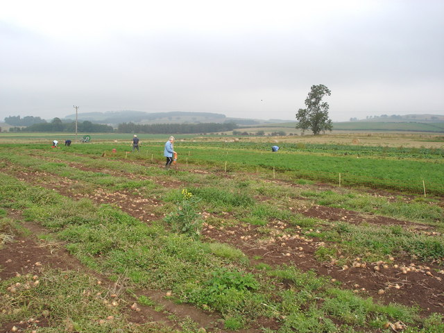
Lamb Hill — mountain in scotland lowlands. Elevation: 511 m.

Geoff Holland — CC BY-SA 2.0 via Wikimedia Commons licence
Plan your visit
- Typical visit
- 3 h–8 h
- Best time of year
- Late spring – early autumn (May–Oct)
About
Lamb Hill is a mountain located in scotland lowlands. Elevation: 511 m. A named British peak recorded in OpenStreetMap. Peaks are typically named on Ordnance Survey 1:50k mapping.
Photo gallery
Place summary
Lamb Hill is a mountain located in the Scottish Lowlands. It is characterised by its rolling terrain and scenic views of the surrounding landscape. The area offers opportunities for walking and exploring the natural beauty typical of the region, appealing to outdoor enthusiasts.
AI-generated from the structured facts on this page (operator, designation, listing, era). Not a substitute for visiting.
- Coordinates
- 55.4140, -2.2985
Sources
- osm: n319272349 (ODbL)
Other places nearby
Loading nearby places…
Nearby
 📷 3
📷 3Historic houses · Scottish Lowlands
Yearning Hall
Yearning Hall — a historic house in scotland-lowlands, United Kingdom.
 📷 5
📷 5Mountains & hills · Scottish Lowlands
Beefstand Hill
Beefstand Hill — a hill or mountain in scotland lowlands.
📷 5Mountains & hills · Scottish Lowlands
Beefstand Hill
Beefstand Hill — mountain in scotland lowlands. Elevation: 562 m.
 📷 5
📷 5Mountains & hills · Scottish Lowlands
Yearning Law
Yearning Law — a hill or mountain in scotland lowlands.
 📷 5
📷 5Vineyards · Scottish Lowlands
Huntfold Hill
Huntfold Hill — a UK vineyard in scotland lowlands, producing English or Welsh wine from cool-climate grape varieties.
 📷 5
📷 5Mountains & hills · Scottish Lowlands
Raeshaw Fell
Raeshaw Fell — a hill or mountain in scotland lowlands.
Where to eat & stay near Lamb Hill
Places to stay
 📷 5
📷 5Hostels · Scottish Lowlands
Mounthooly Bunk House
Mounthooly Bunk House — a hostel in scotland lowlands.
 📷 5
📷 5Hotels · Central Scotland
Templehall Hotel
Templehall Hotel — a hotel in scotland central.
 📷 5
📷 5Caravan parks · Scottish Lowlands
Border Forest Caravan Park
Border Forest Caravan Park — a caravan park in scotland lowlands.
 📷 5
📷 5Campsites · Scottish Lowlands
Firing Point - Farm
Firing Point - Farm — a campsite in scotland lowlands.
 📷 5
📷 5Caravan parks · Central Scotland
Crookhouse Farm Campsite
Crookhouse Farm Campsite — a caravan park in scotland central.
 📷 5
📷 5Hotels · Central Scotland
The Plough Hotel
The Plough Hotel — a hotel in scotland central.


More mountains in this region
 📷 3
📷 3Mountains & hills · Scottish Lowlands
Andrewhinney Hill
Andrewhinney Hill — Named summit at 677 m.
 📷 3
📷 3Mountains & hills · Scottish Lowlands
Arbory Hill
Arbory Hill — Named summit at 429 m.
 📷 3
📷 3Mountains & hills · Scottish Lowlands
Auchenton Hill ( East Mount Lowther)
Auchenton Hill ( East Mount Lowther) — Named summit at 631 m.
 📷 3
📷 3Mountains & hills · Scottish Lowlands
Bakestall
Bakestall — Named summit at 673.5 m.
Frequently asked questions
- Where is Lamb Hill?
- Lamb Hill is in the Scottish Lowlands, United Kingdom.
- What is Lamb Hill?
- Lamb Hill — mountain in scotland lowlands. Elevation: 511 m.
- How do I get to Lamb Hill?
- Its coordinates are 55.4140°, -2.2985°.