
Manor houses · East of England
Lackford Manor
In or near Cavenham.
Lackford Manor — Grade II listed building-listed manor in england-east, United Kingdom.

Keith Evans — CC BY-SA 2.0 via Wikimedia Commons licence

Plan your visit
- Typical visit
- 1 h–2 h
- Nearest railway station
- Bury St Edmunds · 8.2 km
- Limited wheelchair access
Getting there & planning your visit
To visit Lackford Manor, the nearest railway station is Bury St Edmunds, which is 8.2 km away. The postcode for sat-nav is IP28 6HW. Accessibility is limited for wheelchair users.
About
Lackford Manor is a Grade II listed building-listed manor in england-east, United Kingdom, registered on the National Heritage List for England (NHLE entry 1180703). Listed status protects buildings and structures of special architectural or historic interest. See the linked Wikipedia article for further details.
Photo gallery
Heritage listing
Details In the entry for: THE STREET 1/75 Manor House Manor House The address shall be amended to read: THE STREET Lackford Manor ---------------------------------------------------------------------------------------- TL 77 SE LACKFORD THE STREET 1/75 Manor House - - II House, J.R. & M. - S. & H. 1867 on tablet; fragment of C18 house at north-west end. Irregular plan with Gothic details; 2 storeys and attics. Red brick, with deep stone hood-moulded lintels. Gabled, plain clay tiled roof. Sash windows without glazing bars; smaller windows paired sashes or cruciform casements. 2- storey gabled entrance porch with stone Tudor-arched opening. Spacious main rooms have good joinery. The C18 wing has a truncated stair case with turned balusters, some panelled doors and other joinery; encased in red brickwork 1867. Listing NGR: TL7892170366 Legacy The contents of this record have been generated from a legacy data system. Legacy System number: 283782 Legacy System: LBS
From the Historic England List Entry under OGL v3.
Protected designations
- Site of Special Scientific Interest: Breckland Farmland SSSI
Designations sourced from Natural England open data under OGL v3.
Place summary
Lackford Manor is a Grade II listed manor located in the East of England. This designation indicates its historical and architectural significance, reflecting the manor's importance within the region.
AI-generated from the structured facts on this page (operator, designation, listing, era). Not a substitute for visiting.
- Coordinates
- 52.3023, 0.6227
- County
- Suffolk
- District
- West Suffolk
- Parish
- Lackford
- Postcode
- IP28 6HW
- Parliamentary constituency
- West Suffolk
- Nearest railway station
- Bury St Edmunds — 8.2 km
Sources
- wikidata: Q26476009 (CC0)
Other places nearby
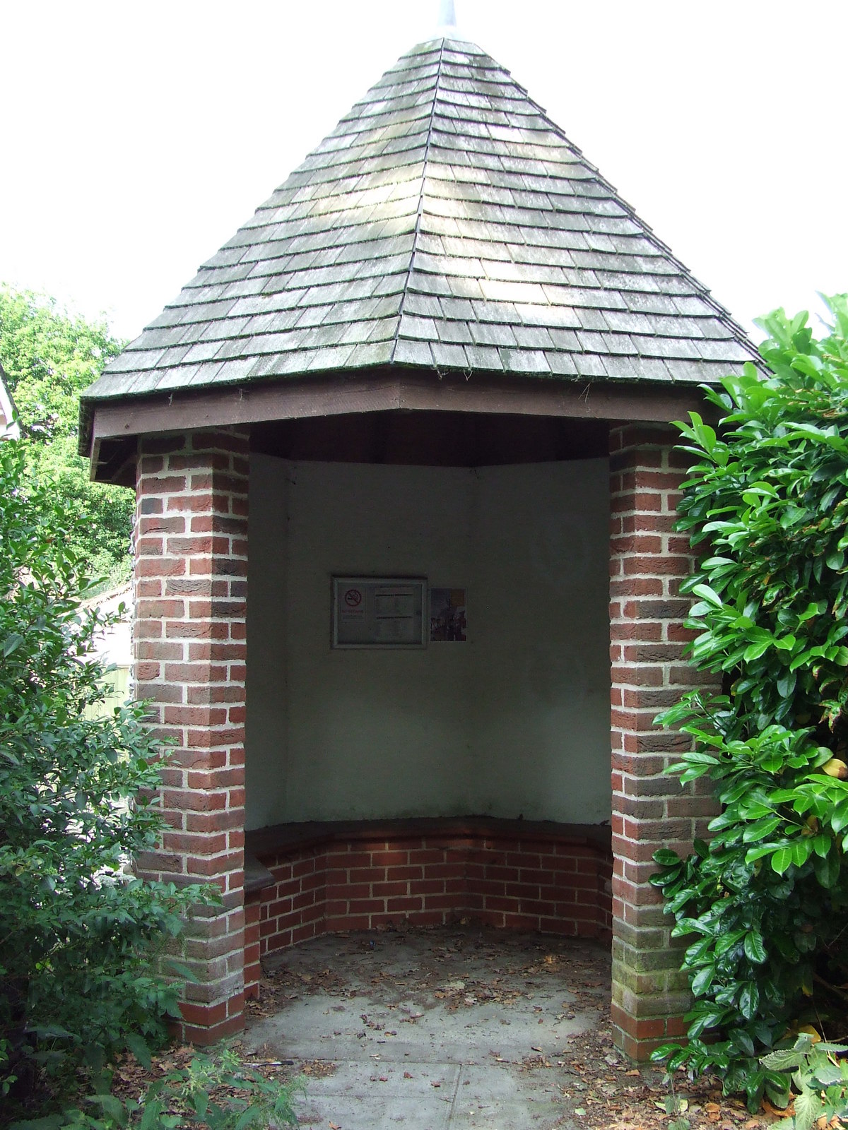
Lackford
Villages · 0.1 km

Lackford Village Sign
Public art & sculpture · 0.3 km
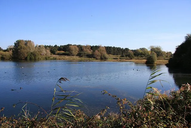
Lackford Lakes
Wildlife reserves · 1.2 km

Neolithic ring ditch
Archaeological sites · 1.2 km

Ramparts Field
Natural landmarks · 1.2 km

West Stow Anglo Saxon Village
Natural landmarks · 1.4 km

West Stow Anglo Saxon Village
Archaeological sites · 1.4 km

Lackford Lakes
Forests & woodlands · 1.4 km

West Stow Anglo-Saxon Museum
Museums · 1.5 km

Icklingham Roman settlement
Archaeological sites · 1.6 km

King's Forest Caravan Park
Caravan parks · 1.6 km

Fullers Mill Garden
Gardens · 1.7 km
Nearby
📷 5📷 3Public art & sculpture · East of England
Lackford Village Sign
Lackford Village Sign — a public art in england-east, United Kingdom.
📷 5Wildlife reserves · East of England
Lackford Lakes
Lackford Lakes — Suffolk Wildlife Trust nature reserve.
📷 3Archaeological sites · East of England
Neolithic ring ditch
Neolithic ring ditch — a archaeological in england-east, United Kingdom.
📷 3Natural landmarks · East of England
Ramparts Field
Ramparts Field — a other in england-east, United Kingdom.
📷 3Natural landmarks · East of England
West Stow Anglo Saxon Village
West Stow Anglo Saxon Village — a other in england-east, United Kingdom.
Where to eat & stay near Lackford Manor
Places to stay
📷 5Caravan parks · East of England
King's Forest Caravan Park
King's Forest Caravan Park — a caravan park in england east.
 📷 5
📷 5 📷 7
📷 7 📷 7
📷 7 📷 5
📷 5 📷 7
📷 7Hotels · East of England
Riverside House Hotel
Riverside House Hotel — a hotel in england east.
Places to eat & drink
 📷 7
📷 7Historic pubs · East of England
The White Horse Public House Cottage And Coach House
The White Horse Public House Cottage And Coach House in England East, United Kingdom.
 📷 7
📷 7Historic pubs · East of England
Three Kings Public House And Attached House Stable Block
Three Kings Public House And Attached House Stable Block in England East, United Kingdom.
 📷 6
📷 6Historic pubs · East of England
The Linden Tree Public House
The Linden Tree Public House in England East, United Kingdom.
 📷 5
📷 5Historic pubs · East of England
The Rising Sun Public House
The Rising Sun Public House in England East, United Kingdom.
 📷 6
📷 6Historic pubs · East of England
The Bushel Public House
The Bushel Public House in England East, United Kingdom.
 📷 7
📷 7Historic pubs · East of England
The Market Tavern Public House
The Market Tavern Public House in England East, United Kingdom.
More places in this region
 📷 5
📷 5Manor houses · East of England
Prebendal Manor
Prebendal Manor — a manor in england-london, United Kingdom.
 📷 5
📷 5Manor houses · East of England
Dunmowes Manor
Dunmowes Manor — a manor in england-london, United Kingdom.
 📷 5
📷 5Manor houses · East of England
Chamberlains Manor
Chamberlains Manor — a manor in england-london, United Kingdom.
 📷 5
📷 5Manor houses · East of England
Manor of Brays
Manor of Brays — a manor in england-london, United Kingdom.
Frequently asked questions
- Where is Lackford Manor?
- Lackford Manor is in Suffolk, East of England, United Kingdom (postcode IP28 6HW), in the parish of Lackford.
- What is Lackford Manor?
- Lackford Manor — Grade II listed building-listed manor in england-east, United Kingdom.
- How do I get to Lackford Manor?
- The nearest railway station is Bury St Edmunds, about 8.2 km away. Drivers can use postcode IP28 6HW.
- Is Lackford Manor a listed building?
- Lackford Manor is officially recognised as Grade II listed building listed.
- Is Lackford Manor a protected site?
- Yes — Lackford Manor is part of the Breckland Farmland SSSI Site of Special Scientific Interest.
- How do I get to Lackford Manor?
- Drivers can navigate to postcode IP28 6HW. It sits within the West Suffolk parliamentary constituency.