
Natural landmarks · North West England
Kirk Fell
In or near Buttermere.
Kirk Fell — mountain in United Kingdom.

Wikimedia Commons contributors — see linked file page for photographer and licence licence

Plan your visit
- Typical visit
- 1 h–2 h
- Nearest railway station
- Dalegarth · 10.0 km
- Free entry
- Dog-friendly
Getting there & planning your visit
Kirk Fell is located in North West England, with the nearest railway station being Dalegarth, approximately 10 km away. Entry to the site is free.
About
Kirk Fell is a named natural landmark in the United Kingdom. Wikidata describes it as: "mountain in United Kingdom". Coordinates: 54.4830°, -3.2420°.
Photo gallery
Protected designations
- Site of Special Scientific Interest: River Derwent and Tributaries SSSI
Designations sourced from Natural England open data under OGL v3.
From the Wikipedia article
Kirk Fell is a fell in the Western part of the English Lake District. It is situated between Great Gable and Pillar on the long ring of fells surrounding the valley of Ennerdale, and also stands over Wasdale to the south. However, it is separated from its two higher neighbours by the low passes of Black Sail and Beck Head, giving it a high relative height and making it a Marilyn, the thirteenth highest in the Lake District. The direct ascent up the south-western slope from Wasdale Head is exceptionally steep and the subject of an amusing drawing by Wainwright. Usual ascents are by one of the aforementioned passes; alternatively one may climb Kirk Fell as part of the Mosedale Horseshoe, a walk on the fells surrounding Mosedale, a side-valley of Wasdale.
Excerpt from Wikipedia under CC BY-SA 4.0. See the source article linked in Sources below.
- Coordinates
- 54.4830, -3.2420
- Address
- Cumbria, England
- Nearest railway station
- Dalegarth — 10 km
Sources
- wikidata: Q6415426 (CC0)
- wikipedia: Kirk Fell (CC BY-SA 4.0)
- commons: Kirk Fell Crags.jpg (CC BY-SA 4.0)
Other places nearby
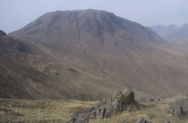
Kirk Fell
Mountains & hills · 0.1 km

Kirk Fell East Top
Mountains & hills · 0.4 km

Great Napes
Climbing & bouldering crags · 1.4 km
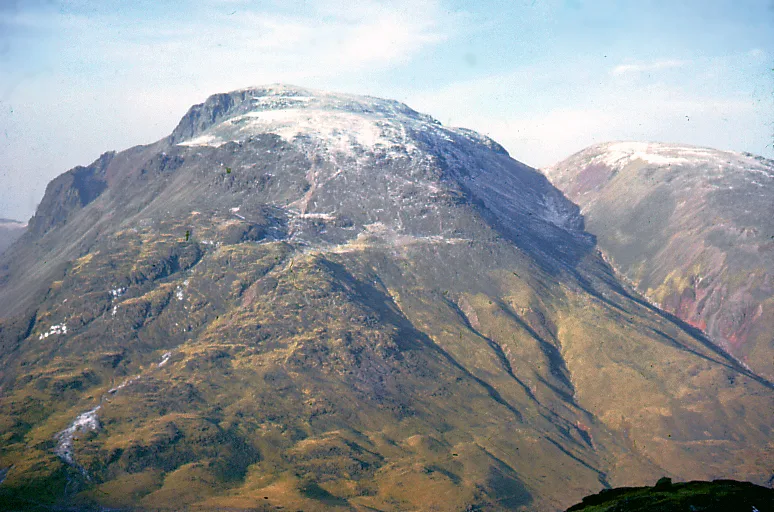
Great Gable
Mountains & hills · 1.5 km

Fell and Rock Climbing Club War Memorial
Memorials & monuments · 1.5 km
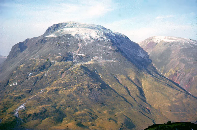
Great Gable
Natural landmarks · 1.5 km

Gable Crag
Climbing & bouldering crags · 1.6 km

Ritson Force
Waterfalls · 1.6 km

Looking Stead
Mountains & hills · 1.7 km
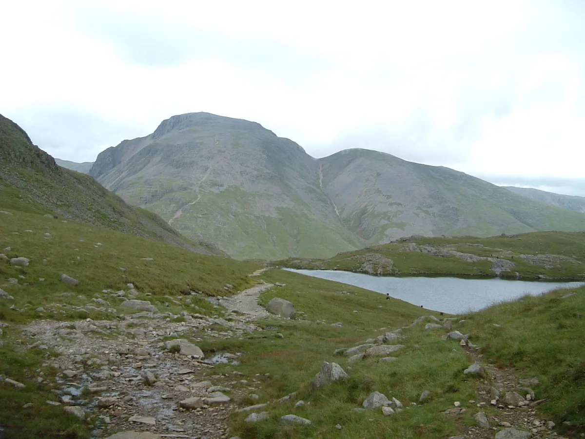
Green Gable
Natural landmarks · 1.8 km
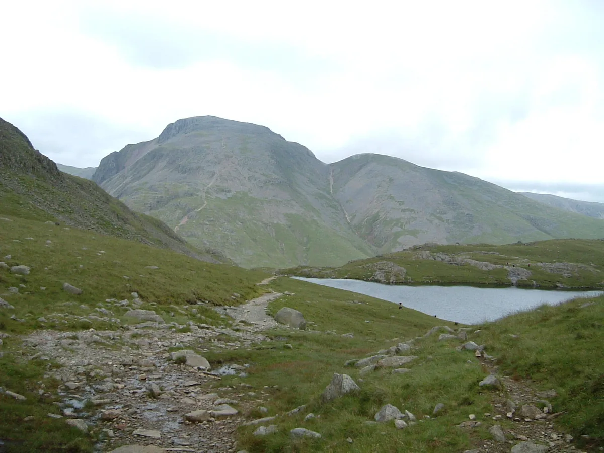
Green Gable
Mountains & hills · 1.8 km
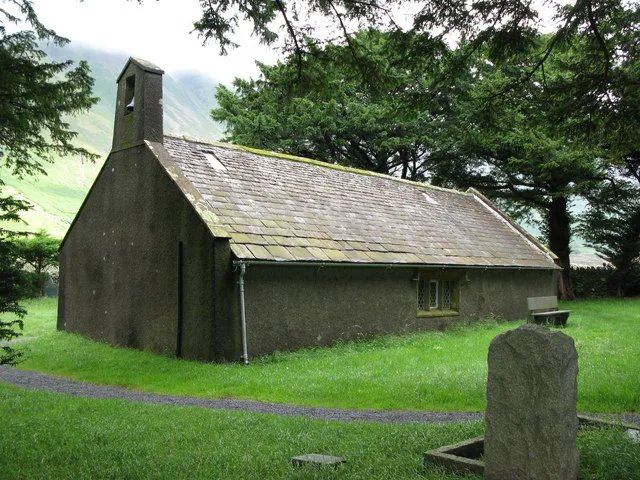
Church of St Olaf
Historic churches · 1.9 km
Nearby
📷 3📷 5Mountains & hills · North West England
Kirk Fell East Top
Kirk Fell East Top — mountain in england north west. Elevation: 787 m.
📷 5Climbing & bouldering crags · North West England
Great Napes
Great Napes — a climbing crag in england north west.
📷 3📷 3Memorials & monuments · North West England
Fell and Rock Climbing Club War Memorial
Fell and Rock Climbing Club War Memorial is a memorial in the United Kingdom.
📷 3Where to eat & stay near Kirk Fell
Places to stay
 📷 5
📷 5Hostels · North West England
YHA Black Sail
YHA Black Sail — a hostel in england north east.
 📷 5
📷 5Campsites · North West England
Wasdale Head Campsite
Wasdale Head Campsite — a campsite in england north west.
 📷 5
📷 5Campsites · North West England
Wasdale Campsite
Wasdale Campsite — a campsite in england north west.
 📷 5
📷 5Campsites · North West England
Seathwaite Farm Campsite
Seathwaite Farm Campsite — a campsite in england north west.
 📷 5
📷 5Hostels · North West England
Honister Pass YHA
Honister Pass YHA — a hostel in england north east.
 📷 5
📷 5Campsites · North West England
Dalegarth Guest House Camp Site
Dalegarth Guest House Camp Site — a campsite in england north east.
Places to eat & drink
 📷 7
📷 7Cafés · North West England
Grange Bridge Cottage
Grange Bridge Cottage — a café in england north east.
 📷 7
📷 7Historic pubs · North West England
The Travellers Rest
The Travellers Rest in England North West, United Kingdom.
 📷 5
📷 5 📷 7
📷 7Historic pubs · North West England
Church House Public House
Church House Public House in England North West, United Kingdom.
 📷 5
📷 5Restaurants · North West England
The Terrace Coffee House and Restaurant
The Terrace Coffee House and Restaurant — a restaurant in england north west. Cuisine: sandwich;lunch.
 📷 5
📷 5Historic pubs · North West England
Golden Rule Hotel
Golden Rule Hotel in England North West, United Kingdom.
More natural landmarks in this region
 📷 3
📷 3Natural landmarks · North West England
Statue of Oliver Cromwell
Statue of Oliver Cromwell — Public artwork (statue).
 📷 3
📷 3Natural landmarks · North West England
Dagfields Craft Centre
Dagfields Craft Centre — a place in North West England, United Kingdom.
 📷 3
📷 3Natural landmarks · North West England
Weaver Valley Cruises
Weaver Valley Cruises — a place in North West England, United Kingdom.
 📷 3
📷 3Natural landmarks · North West England
Golden Gates
Golden Gates — a place in North West England, United Kingdom.
Frequently asked questions
- Where is Kirk Fell?
- Kirk Fell is in North-West England, United Kingdom.
- What is Kirk Fell?
- Kirk Fell — mountain in United Kingdom.
- How do I get to Kirk Fell?
- The nearest railway station is Dalegarth, about 10.0 km away. The nearest town is Buttermere. Its coordinates are 54.4830°, -3.2420°.
- Is Kirk Fell a protected site?
- Yes — Kirk Fell is part of the River Derwent and Tributaries SSSI Site of Special Scientific Interest.
- Is Kirk Fell free to visit?
- Yes, Kirk Fell is free to enter.