
Historic houses · North West England
Kaleyard Gate
In or near Chester.
Kaleyard Gate — a Grade I-listed historic house in wales-north, United Kingdom.

habiloid — CC BY-SA 2.0 via Wikimedia Commons licence

Plan your visit
- Typical visit
- 1 h–2 h
- Nearest railway station
- Grosvenor Park Miniature Railway · 0.6 km
- Family-friendly
- Limited wheelchair access
Getting there & planning your visit
To visit Kaleyard Gate, the nearest railway station is Grosvenor Park Miniature Railway, located 0.6 km away. The postcode for sat-nav is CH1 3JH. Accessibility is limited for wheelchair users.
About
Kaleyard Gate is a Grade I-listed building in wales-north, United Kingdom. Grade I status is conferred by Historic England (or Cadw, Historic Environment Scotland or NIEA equivalents) on buildings of exceptional national interest. See the linked Wikipedia article for full historical and architectural details.
Photo gallery
Protected designations
- Site of Special Scientific Interest: River Dee (England) SSSI
Designations sourced from Natural England open data under OGL v3.
From the Wikipedia article
Kaleyard Gate is a postern gate in Chester city walls, Cheshire, England (grid reference SJ406665). It is recorded in the National Heritage List for England as a designated Grade I listed building. In the 13th century the monks of St Werburgh's Abbey had developed a vegetable garden (known as the kaleyard) outside the city walls. They wanted an easier route to access the kaleyard than the longer walk through Eastgate so they petitioned Edward I in 1275 to allow them to cut a gate through the wall to provide direct access to the garden. This he allowed under certain conditions, one of which was that it must be locked at nightfall. The gate consists of a simple opening in the sandstone wall containing a door. It is on the east-side wall of the city, numbered 14 on the map below.
Excerpt from Wikipedia under CC BY-SA 4.0. See the source article linked in Sources below.
- Coordinates
- 53.1926, -2.8897
- District
- Cheshire West and Chester
- Parish
- Cheshire West and Chester, unparished area
- Postcode
- CH1 3JH
- Parliamentary constituency
- Chester North and Neston
- Nearest railway station
- Grosvenor Park Miniature Railway — 0.6 km
- Official site
- chesterwalls.info
Sources
- wikidata: Q6352244 (CC0)
- wikipedia: Kaleyard Gate (CC BY-SA 4.0)
Other places nearby

City Walls
Historic bridges · 0.0 km

Oddfellows Arms Public House
Historic pubs · 0.1 km

The Water of Life
Public art & sculpture · 0.1 km

Front garden wall to Bishops House including gate piers and arch
Memorials & monuments · 0.1 km

22nd Cheshire Regiment Memorial Garden
Gardens · 0.1 km

Public conveniences and former lodge and shop
Historic pubs · 0.1 km

Abbey School for Exceptional Children
Abbeys & priories · 0.1 km

St Oswald's Chambers, Chester
Historic houses · 0.1 km

War Memorial
Memorials & monuments · 0.1 km

Chester Cathedral
Cathedrals · 0.1 km
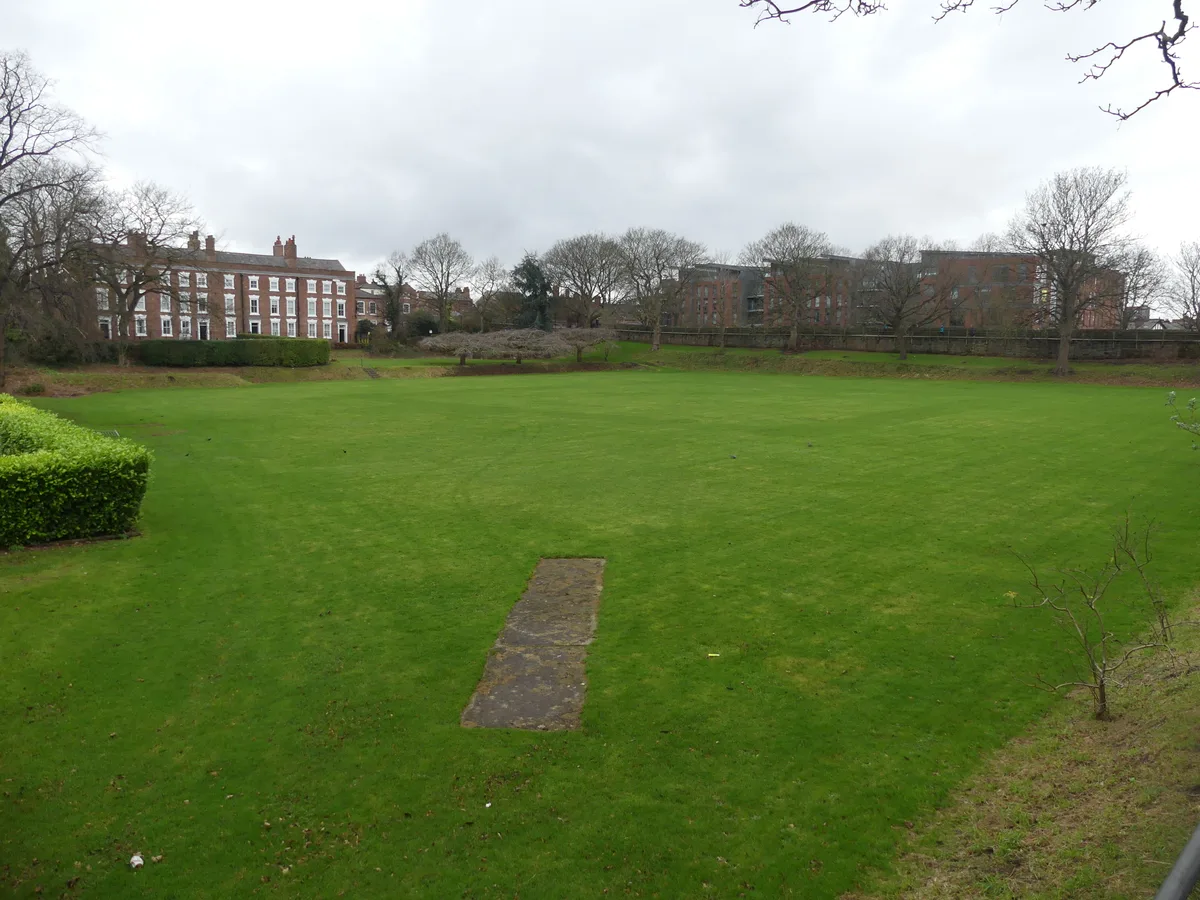
Abbey Green Roman site
Archaeological sites · 0.1 km
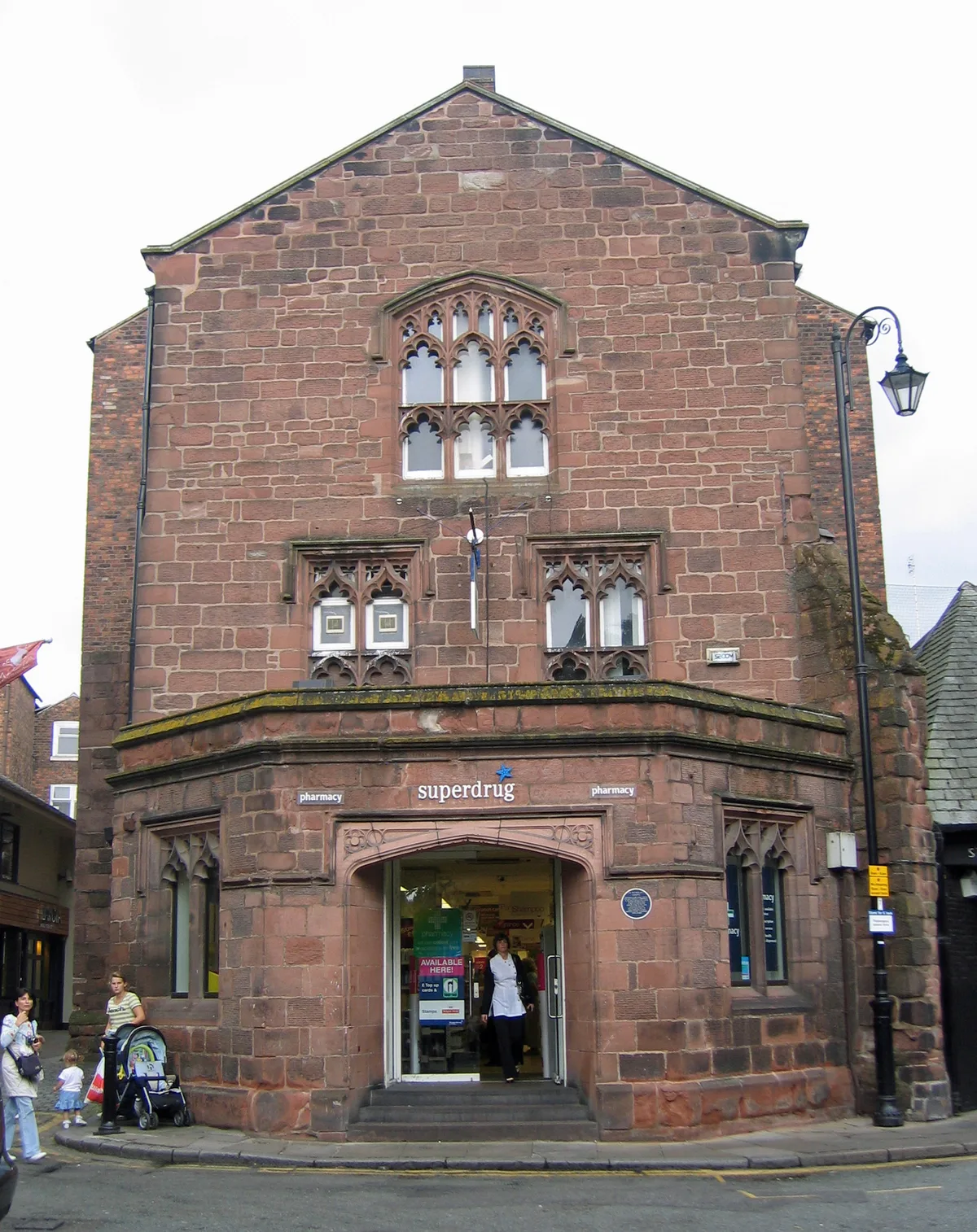
St Nicholas' Chapel, Chester
Historic churches · 0.2 km
Nearby
📷 3Historic bridges · North West England
City Walls
City Walls is a historic bridge in the United Kingdom.
📷 5Historic pubs · North West England
Oddfellows Arms Public House
Oddfellows Arms Public House in Wales North, United Kingdom.
📷 3Public art & sculpture · North West England
The Water of Life
The Water of Life — a public art in wales-north, United Kingdom.
📷 3Memorials & monuments · North West England
Front garden wall to Bishops House including gate piers and arch
Front garden wall to Bishops House including gate piers and arch — Grade II listed building-listed memorial in wales-north, United Kingdom.
📷 3Gardens · North West England
22nd Cheshire Regiment Memorial Garden
22nd Cheshire Regiment Memorial Garden — war memorial in the UK.
📷 5Historic pubs · North West England
Public conveniences and former lodge and shop
Public conveniences and former lodge and shop in Wales North, United Kingdom.
Where to eat & stay near Kaleyard Gate
Places to stay
 📷 7
📷 7 📷 5
📷 5Hotels · North West England
Mill Hotel & Spa
Mill Hotel & Spa — a hotel in wales north.
 📷 5
📷 5 📷 7
📷 7 📷 7
📷 7 📷 5
📷 5Hotels · North West England
DoubleTree by Hilton Hotel & Spa Chester
DoubleTree by Hilton Hotel & Spa Chester — a hotel in wales north. 4-star. Brand: DoubleTree.
Places to eat & drink
📷 5Historic pubs · North West England
Oddfellows Arms Public House
Oddfellows Arms Public House in Wales North, United Kingdom.
📷 5Historic pubs · North West England
Public conveniences and former lodge and shop
Public conveniences and former lodge and shop in Wales North, United Kingdom.
 📷 7
📷 7Historic pubs · North West England
Pied Bull Hotel
Pied Bull Hotel in Wales North, United Kingdom.
 📷 5
📷 5Historic pubs · North West England
44, Foregate Street
44, Foregate Street in Wales North, United Kingdom.
 📷 5
📷 5Historic pubs · North West England
The Catholic Club
The Catholic Club in Wales North, United Kingdom.
 📷 5
📷 5Historic pubs · North West England
Bull and Stirrup Hotel
Bull and Stirrup Hotel in Wales North, United Kingdom.
More historic houses in this region
 📷 3
📷 3Historic houses · North West England
116 Hospital Street, Nantwich
116 Hospital Street, Nantwich — substantial townhouse in Nantwich, Cheshire, England, UK.
 📷 3
📷 3Historic houses · North West England
140–142 Hospital Street, Nantwich
140–142 Hospital Street, Nantwich — grade II listed building in Nantwich, Cheshire East, Cheshire, England, UK.
 📷 3
📷 3Historic houses · North West England
46 High Street, Nantwich
46 High Street, Nantwich — house in Nantwich, Cheshire, England, UK.
 📷 3
📷 3Historic houses · North West England
64, St Ann's Road
64, St Ann's Road — Grade II* listed house in Middlewich, Cheshire East, England, UK.
Frequently asked questions
- Where is Kaleyard Gate?
- Kaleyard Gate is in North-West England, United Kingdom (postcode CH1 3JH), in the parish of Cheshire West and Chester, unparished area.
- What is Kaleyard Gate?
- Kaleyard Gate — a Grade I-listed historic house in wales-north, United Kingdom.
- How do I get to Kaleyard Gate?
- The nearest railway station is Grosvenor Park Miniature Railway, about 0.6 km away. The nearest town is Chester. Drivers can use postcode CH1 3JH.
- Is Kaleyard Gate a listed building?
- Kaleyard Gate is officially recognised as Grade I listed.
- Is Kaleyard Gate a protected site?
- Yes — Kaleyard Gate is part of the River Dee (England) SSSI Site of Special Scientific Interest.
- How do I get to Kaleyard Gate?
- The nearest railway station is Grosvenor Park Miniature Railway, about 0.6 km away. Drivers can navigate to postcode CH1 3JH.