Mountains & hills · Scottish Lowlands
Jock's Shoulder
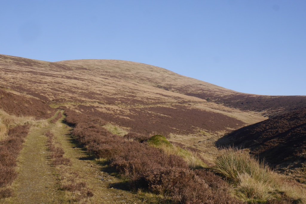
Jock's Shoulder — mountain in scotland lowlands. Elevation: 536 m.

Michael Earnshaw — CC BY-SA 2.0 via Wikimedia Commons licence
Plan your visit
- Typical visit
- 3 h–8 h
- Best time of year
- Late spring – early autumn (May–Oct)
About
Jock's Shoulder is a mountain located in scotland lowlands. Elevation: 536 m. A named British peak recorded in OpenStreetMap. Peaks are typically named on Ordnance Survey 1:50k mapping.
Photo gallery
Place summary
Jock's Shoulder is a mountain located in the Scottish Lowlands. It is part of the Southern Uplands and is known for its distinctive profile. The area offers a range of walking trails suitable for various skill levels, providing access to scenic views of the surrounding landscape. Visitors can expect a rugged terrain typical of the region.
AI-generated from the structured facts on this page (operator, designation, listing, era). Not a substitute for visiting.
- Coordinates
- 55.3061, -3.2976
Sources
- osm: n3546857834 (ODbL)
Other places nearby
Loading nearby places…
Nearby
📷 5Mountains & hills · Scottish Lowlands
Jock's Shoulder
Jock's Shoulder — a hill or mountain in scotland lowlands.
 📷 5
📷 5Mountains & hills · Scottish Lowlands
Pot Hill
Pot Hill — mountain in scotland lowlands. Elevation: 499 m.
 📷 5
📷 5Mountains & hills · Scottish Lowlands
Drowningdub Knowes
Drowningdub Knowes — a hill or mountain in scotland lowlands.
 📷 5
📷 5Mountains & hills · Scottish Lowlands
Ewelairs Hill
Ewelairs Hill — mountain in scotland lowlands. Elevation: 525 m.
 📷 5
📷 5Mountains & hills · Scottish Lowlands
Dun Moss
Dun Moss — mountain in scotland lowlands. Elevation: 541 m.
 📷 5
📷 5Mountains & hills · Scottish Lowlands
Ruegill Hill
Ruegill Hill — mountain in scotland lowlands. Elevation: 496 m.
Where to eat & stay near Jock's Shoulder
Places to stay
 📷 5
📷 5Hostels · Scottish Lowlands
Johnstone House
Johnstone House — a hostel in scotland lowlands.
 📷 5
📷 5Campsites · Scottish Lowlands
Green Frog
Green Frog — a campsite in scotland lowlands.
 📷 5
📷 5Campsites · Scottish Lowlands
Moffat Camping & Caravanning Club site
Moffat Camping & Caravanning Club site — a campsite in scotland lowlands.
 📷 5
📷 5Hotels · Scottish Lowlands
Buccleuch Arms Hotel
Buccleuch Arms Hotel — a hotel in scotland lowlands.
 📷 5
📷 5Hostels · Scottish Lowlands
Rivox Bunkhouse
Rivox Bunkhouse — a hostel in scotland lowlands.
 📷 5
📷 5Caravan parks · Scottish Lowlands
Angecroft Caravan Park
Angecroft Caravan Park — a caravan park in scotland lowlands.

More mountains in this region
 📷 3
📷 3Mountains & hills · Scottish Lowlands
Andrewhinney Hill
Andrewhinney Hill — Named summit at 677 m.
 📷 3
📷 3Mountains & hills · Scottish Lowlands
Arbory Hill
Arbory Hill — Named summit at 429 m.
 📷 3
📷 3Mountains & hills · Scottish Lowlands
Auchenton Hill ( East Mount Lowther)
Auchenton Hill ( East Mount Lowther) — Named summit at 631 m.
 📷 3
📷 3Mountains & hills · Scottish Lowlands
Bakestall
Bakestall — Named summit at 673.5 m.
Frequently asked questions
- Where is Jock's Shoulder?
- Jock's Shoulder is in the Scottish Lowlands, United Kingdom.
- What is Jock's Shoulder?
- Jock's Shoulder — mountain in scotland lowlands. Elevation: 536 m.
- How do I get to Jock's Shoulder?
- Its coordinates are 55.3061°, -3.2976°.