
Islands · Central Scotland
Islay
In or near Ballygrant.
Islay — southernmost island of the Inner Hebrides in Argyll and Bute, Scotland, UK.

Wikimedia Commons contributors — see linked file page for photographer and licence licence

Plan your visit
- Typical visit
- 4 h–12 h
- Free entry
- Dog-friendly
Getting there & planning your visit
Islay is an island located in the Scottish Highlands, with coordinates 55.7667 latitude and -6.15 longitude. There is no nearest railway station or postcode provided. Entry to the island is free.
About
Islay is a island in the United Kingdom. It covers approximately 620 km². Recent population estimates put it at around 3,228 people. Part of Inner Hebrides. Wikidata describes it as: "southernmost island of the Inner Hebrides in Argyll and Bute, Scotland, UK". Coordinates: 55.7667°, -6.1500°.
Photo gallery
From the Wikipedia article
Islay ( EYE-lə; Scottish Gaelic: Ìle, Scots: Ila) is the southernmost island of the Inner Hebrides of Scotland. Known as "The Queen of the Hebrides", it lies in Argyll and Bute just south west of Jura and around 40 kilometres (22 nautical miles) north of the Northern Irish coast. The island's capital is Bowmore where the distinctive round Kilarrow Parish Church and a distillery are located. Port Ellen is the main port. Islay is the fifth-largest Scottish island and the eighth-largest island of the British Isles, with a total area of almost 620 square kilometres (240 sq mi). There is ample evidence of the prehistoric settlement of Islay and the first written reference may have come in the first century AD. The island had become part of the Gaelic Kingdom of Dál Riata during the Early Middle Ages before being absorbed into the Norse Kingdom of the Isles. The later medieval period marked a "cultural high point" with the transfer of the Hebrides to the Kingdom of Scotland and the emergence of the Clan Donald Lordship of the Isles, originally centred at Finlaggan. During the 17th century the power of Clan Donald waned, but improvements to agriculture and transport led to a rising population, which peaked in the mid-19th century. This was followed by substantial forced displacements and declining resident numbers. Today, Islay has over 3,000 inhabitants, and the main commercial activities are agriculture, malt whisky distillation and tourism. The island has a long history of religious observance, and Scottish Gaelic is spoken by about a quarter of the population. Its landscapes have been celebrated through various art forms, and there is a growing interest in renewable energy in the form of wave power. Islay is home to many bird species such as the wintering populations of Greenland white-fronted and barnacle goose, and is a popular destination throughout the year for birdwatchers. The climate is mild and ameliorated by the Gulf Stream.
Excerpt from Wikipedia under CC BY-SA 4.0. See the source article linked in Sources below.
Background
Visiting
Some 45,000 summer visitors arrive each year by ferry and a further 11,000 by air. The main attractions are the scenery, history, bird watching and the world-famous whiskies. The distilleries operate various shops, tours and visitor centres, and the Finlaggan Trust has a visitor centre which is open daily during the summer. Golf is available on the 116-year-old Machrie golf course now owned by Gavyn Davies and his wife Susan Nye, Baroness Nye; the course was redesigned and reopened in 2017. (The adjoining Macrhie Hotel, with 47 bedrooms, was recently rebuilt.) Walkers and cyclists appreciate the 210 kilometres of coastline. Bird watchers should also be satisfied. The web site Trip Advisor…
Sourced from Wikipedia under CC BY-SA 4.0.
- Coordinates
- 55.7667, -6.1500
- Population
- 3,228
- Official site
- www.scotlandscensus.gov.uk
Sources
- wikidata: Q273 (CC0)
- wikipedia: Islay (CC BY-SA 4.0)
- commons: Wfm islay landsat.jpg (CC BY-SA 4.0)
Featured in these 3 guides
Other places nearby

Aryghuary
Vineyards · 2.3 km

Lochan Dubh
Lakes · 2.6 km

Dùn Nosebridge
Archaeological sites · 2.6 km

Dùn Nosebridge
Archaeological sites · 2.6 km

Loch Bharradail
Lakes · 3.1 km
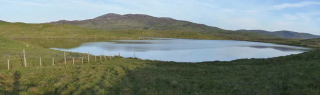
Loch Leathann
Natural landmarks · 3.2 km

Loch Allallaidh
Lakes · 3.2 km
Lochanan Ghlas-b heinn
Lakes · 3.3 km

Mulindry House
Castles · 3.4 km
Glas Bheinn
Mountains & hills · 3.4 km
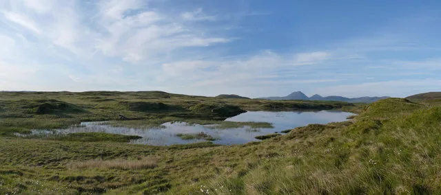
Loch Fada
Natural landmarks · 3.4 km
Glas Bheinn
Mountains & hills · 3.4 km
Nearby
📷 5Vineyards · Central Scotland
Aryghuary
Aryghuary — a UK vineyard in scotland highlands, producing English or Welsh wine from cool-climate grape varieties.
📷 5📷 3Archaeological sites · Central Scotland
Dùn Nosebridge
Dùn Nosebridge — a archaeological in scotland-highlands, United Kingdom.
📷 5Archaeological sites · Central Scotland
Dùn Nosebridge
Dùn Nosebridge — archaeological in scotland highlands.
📷 5📷 3Natural landmarks · Central Scotland
Loch Leathann
Loch Leathann — lake in Argyll and Bute, Scotland, UK.
Where to eat & stay near Islay
Places to stay
 📷 5
📷 5Hotels · Central Scotland
Bridgend Hotel
Bridgend Hotel — a hotel in scotland highlands.
 📷 5
📷 5 📷 5
📷 5 📷 5
📷 5Hotels · Central Scotland
Port Askaig Hotel
Port Askaig Hotel — a hotel in scotland highlands.
 📷 3
📷 3 📷 5
📷 5Campsites · Scottish Lowlands
Kintra Campsite
Kintra Campsite — a campsite in scotland highlands.
More places in this region
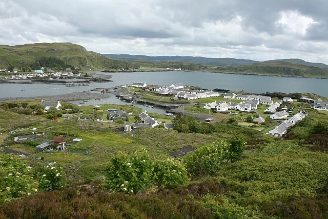 Flagship📷 5
Islands · Central Scotland
Easdale
Easdale — one of the Slate Islands, in the Firth of Lorn, Scotland.
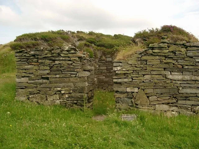 Flagship📷 5
Islands · Central Scotland
Eileach an Naoimh
Eileach an Naoimh — uninhabited island, Garvellachs, Scotland.
 Flagship📷 3
Islands · Central Scotland
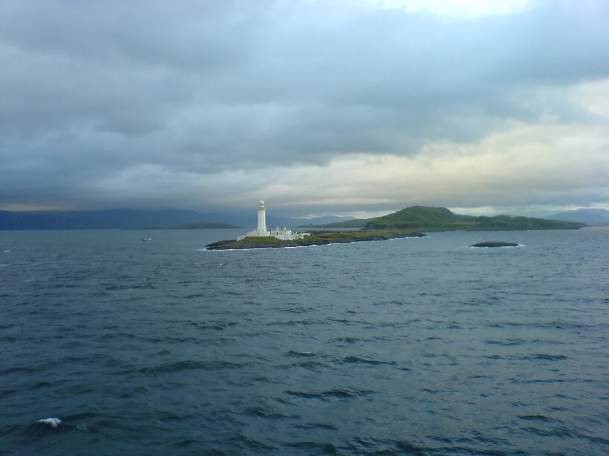
Eilean Musdile
Eilean Musdile — an islet to the south west of Lismore in the Inner Hebrides.
 📷 5
📷 5Islands · Central Scotland
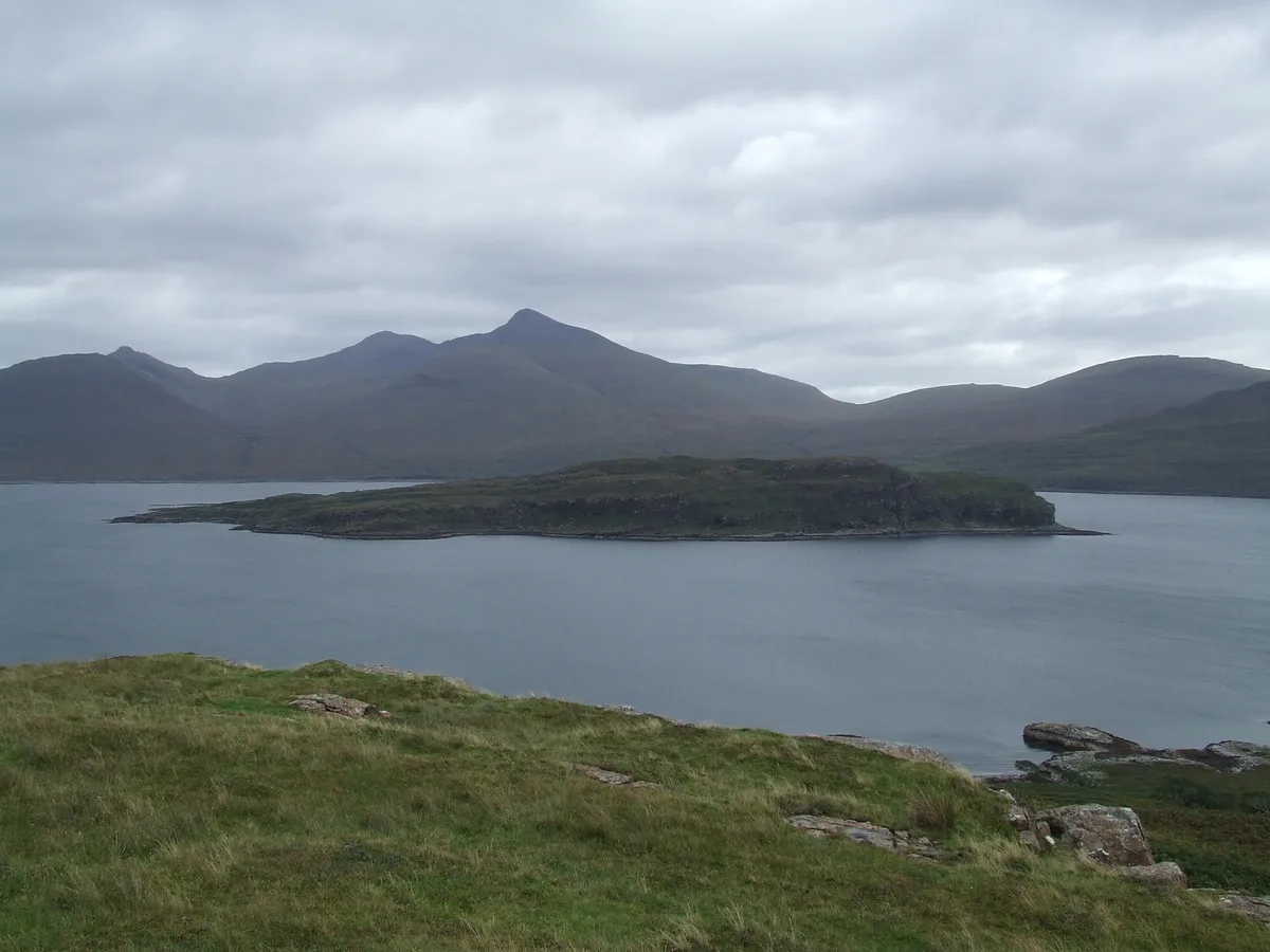
Eorsa
Eorsa — island. Off the coast of Mull, Scotland, in United Kingdom.
Frequently asked questions
- Where is Islay?
- Islay is in the Scottish Highlands, United Kingdom.
- What is Islay?
- Islay — southernmost island of the Inner Hebrides in Argyll and Bute, Scotland, UK.
- How do I get to Islay?
- Its coordinates are 55.7667°, -6.1500°.
- Is Islay free to visit?
- Yes, Islay is free to enter.