
Beaches · South West England
Ireland Sands
In or near South Milton.
Ireland Sands is a beach in the United Kingdom.

Derek Harper — CC BY-SA 2.0 via Wikimedia Commons licence

Plan your visit
- Typical visit
- 1 h–3 h
- Best time of year
- Summer (Jun–Aug)
- Nearest railway station
- Kingsbridge Ria End · 6.9 km
- Free entry
- Family-friendly
- Dog-friendly
Getting there & planning your visit
To visit Ireland Sands, the nearest railway station is Kingsbridge Ria End, located 6.9 km away. The postcode for sat-nav is TQ7 3NZ, and entry to the beach is free.
About
Ireland Sands is a beach on the coast of Devon, South-West England. The site is within the South Devon National Landscape (AONB). It sits within the South Devon parliamentary constituency. The nearest railway station is Kingsbridge Ria End, about 6.9 km away. Postcode area TQ7.
Photo gallery
Protected designations
- Area of Outstanding Natural Beauty: South Devon
Designations sourced from Natural England open data under OGL v3.
From the Wikipedia article
During World War I (1914–1918), Ireland was part of the United Kingdom of Great Britain and Ireland, which entered the war in August 1914 as one of the Entente Powers, along with France and Russia. In part as an effect of chain ganging, the UK decided due to geopolitical power issues to declare war on the Central Powers, consisting of Germany, Austria-Hungary, and later the Ottoman Empire and Bulgaria. Occurring during Ireland's revolutionary period, the Irish people's experience of the war was complex and its memory of it divisive. At the outbreak of the war, most Irish people, regardless of political affiliation, supported the war in much the same way as their British counterparts, and both nationalist and unionist leaders initially backed the British war effort. Irishmen, both Catholic and Protestant, served extensively in the British forces, many in three specially raised divisions, while others served in the armies of the British dominions and the United States, John T. Prout being an example of the latter. Over 200,000 men from Ireland fought in the war, in several theatres. About 30,000 died serving in Irish regiments of the British forces, and as many as 49,400 may have died altogether. In 1916, Irish republicans took the opportunity of the ongoing war to proclaim an independent Irish Republic and launch an armed rebellion against British rule in Dublin, which Germany attempted to aid. In addition, Britain's intention to impose conscription in Ireland in 1918 provoked widespread resistance and, as a result, remained unimplemented. After the end of the Great War, Irish republicans won the 1918 general election and declared Irish independence. This led to the Irish War of Independence (1919–1922), fought between the Irish Republican Army (IRA) and British forces. Ex-servicemen fought for both sides. During the War of Independence, the British government partitioned Ireland. This phase of conflict ended with the Anglo-Irish Treaty which split Sinn Féin and the…
Excerpt from Wikipedia under CC BY-SA 4.0. See the source article linked in Sources below.
- Coordinates
- 50.2642, -3.8683
- County
- Devon
- District
- South Hams
- Parish
- Thurlestone
- Postcode
- TQ7 3NZ
- Parliamentary constituency
- South Devon
- Nearest railway station
- Kingsbridge Ria End — 6.9 km
Sources
- osm: w1492717983 (ODbL)
- wikipedia: Ireland and World War I (CC BY-SA 4.0)
Featured in these 2 guides
Other places nearby

Yarmer Beach
Beaches · 0.3 km

Thurlestone
Villages · 0.7 km

Thurlestone War Memorial
Memorials & monuments · 0.8 km

Broadsands
Beaches · 0.8 km
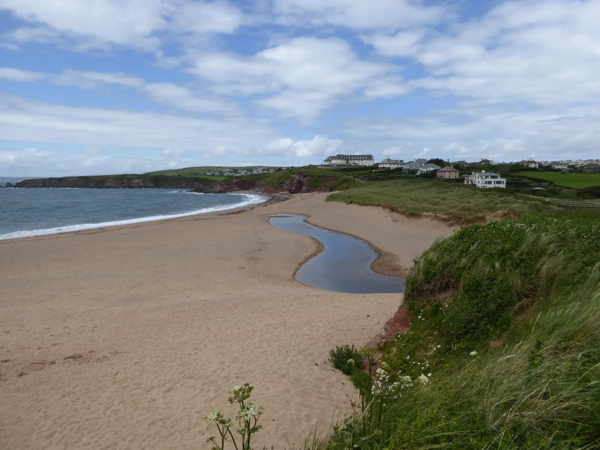
South Milton Sands
Beaches · 0.9 km
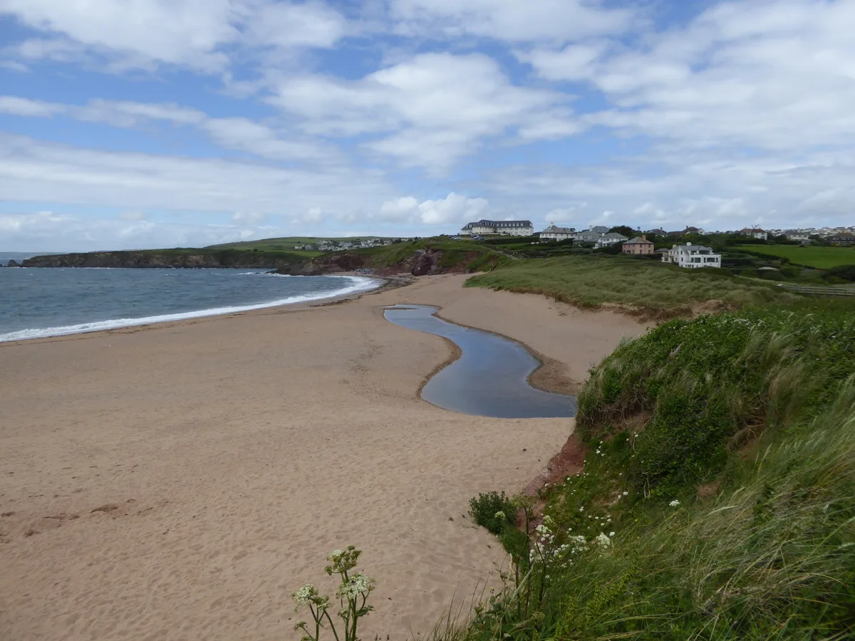
South Milton Sands
Beaches · 0.9 km

Middledown Gate
Beaches · 1.3 km

Butter Cove
Beaches · 1.5 km

Cool Cow Camping
Campsites · 1.5 km

Roman settlement site at Bantham Ham
Vineyards · 1.6 km
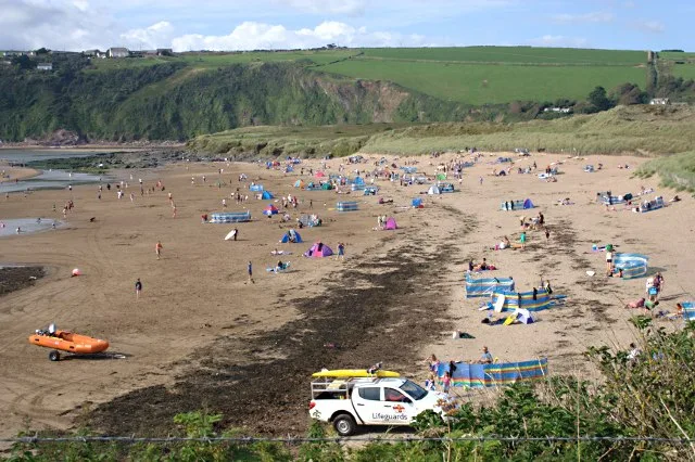
Bantham Beach
Beaches · 1.7 km

Beacon Cove
Beaches · 1.7 km
Nearby
📷 3📷 5📷 3Memorials & monuments · South West England
Thurlestone War Memorial
Thurlestone War Memorial — Grade II listed building-listed memorial in england-south-west, United Kingdom.
📷 5📷 3Beaches · South West England
South Milton Sands
South Milton Sands is a beach in the United Kingdom.
📷 3Beaches · South West England
South Milton Sands
South Milton Sands — beach in Devon, England, UK.
Where to eat & stay near Ireland Sands
Places to stay
📷 5 📷 5
📷 5 📷 5
📷 5Campsites · South West England
Higher Aunemouth Camping
Higher Aunemouth Camping — a campsite in england south west.
 📷 5
📷 5 📷 5
📷 5Caravan parks · South West England
North Upton Caravan and Camp Site
North Upton Caravan and Camp Site — a caravan park in england south west.
 📷 5
📷 5Places to eat & drink
 📷 7
📷 7Historic pubs · South West England
The Old Chapel Inn
The Old Chapel Inn in England South West, United Kingdom.
 📷 6
📷 6Historic pubs · South West England
Dolphin Inn
Dolphin Inn in England South West, United Kingdom.
 📷 7
📷 7Historic pubs · South West England
King Of Prussia Inn
King Of Prussia Inn in England South West, United Kingdom.
 📷 7
📷 7 📷 5
📷 5Historic pubs · South West England
The Ferry Inn
The Ferry Inn in England South West, United Kingdom.
 📷 7
📷 7Historic pubs · South West England
White Hart Hotel And The Assembly Rooms
White Hart Hotel And The Assembly Rooms in England South West, United Kingdom.
More beaches in this region
 📷 5
📷 5Beaches · South West England
Alum Chine Beach
Alum Chine Beach is a beach in the United Kingdom.
 📷 5
📷 5Beaches · South West England
Bournemouth Beach
Bournemouth Beach — beach in Bournemouth, Dorset, UK.
 📷 5
📷 5Beaches · South West England
Bournemouth East Beach
Bournemouth East Beach is a beach in the United Kingdom.
 📷 5
📷 5Beaches · South West England
Bournemouth West Beach
Bournemouth West Beach is a beach in the United Kingdom.
Frequently asked questions
- Where is Ireland Sands?
- Ireland Sands is in Devon, South-West England, United Kingdom (postcode TQ7 3NZ), in the parish of Thurlestone.
- What is Ireland Sands?
- Ireland Sands is a beach in the United Kingdom.
- How do I get to Ireland Sands?
- The nearest railway station is Kingsbridge Ria End, about 6.9 km away. The nearest town is South Milton. Drivers can use postcode TQ7 3NZ.
- Is Ireland Sands a protected site?
- Yes — Ireland Sands is part of the South Devon National Landscape (AONB).
- Is Ireland Sands free to visit?
- Yes, Ireland Sands is free to enter.
- How do I get to Ireland Sands?
- The nearest railway station is Kingsbridge Ria End, about 6.9 km away. Drivers can navigate to postcode TQ7 3NZ.