
Hill forts · East of England
Interrupted ditch system at Potash Farm
In or near Stutton.
Interrupted ditch system at Potash Farm — archaeological site in Freston, Babergh, England, UK.

N Chadwick — CC BY-SA 2.0 via Wikimedia Commons licence

Plan your visit
- Typical visit
- 1 h–2 h
- Nearest railway station
- Ipswich · 5.9 km
- Free entry
- Dog-friendly
Getting there & planning your visit
To visit the Interrupted ditch system at Potash Farm, the nearest railway station is Ipswich, located 5.9 km away. The postcode for sat-nav is IP9 2PL, and entry to the site is free.
About
Interrupted ditch system at Potash Farm is a hill fort in the United Kingdom. Heritage designation: scheduled monument. Wikidata describes it as: "archaeological site in Freston, Babergh, England, UK". Coordinates: 51.9975°, 1.1567°.
Photo gallery
See it from the streetimagery from 2025
Imagery © Mapillary contributors, CC BY-SA 4.0
Protected designations
- Site of Special Scientific Interest: Orwell Estuary SSSI
- Area of Outstanding Natural Beauty: Suffolk Coast & Heaths
- Ramsar wetland: Stour and Orwell Estuaries
Designations sourced from Natural England open data under OGL v3.
From the Wikipedia article
Freston is a Neolithic causewayed enclosure, an archaeological site near the village of Freston in Suffolk, England. Causewayed enclosures were built in England from shortly before 3700 until at least 3500 BC; they are characterised by the full or partial enclosure of an area with ditches that are interrupted by gaps, or causeways. Their purpose is unknown; they may have been settlements, meeting places, or ritual sites. The Freston enclosure was first identified in 1969 from cropmarks in aerial photographs. At 8.55 ha (21.1 acres) it is one of the largest causewayed enclosures in Britain, and would have required thousands of person-days to construct. The cropmarks show an enclosure with two circuits of ditches, and a palisade that ran between the two circuits. There is also evidence of a rectangular structure in the northeastern part of the site, which may be a Neolithic longhouse or an Anglo-Saxon hall. In 2018, a group from McMaster University organized a research project focused on the site, beginning with a geophysical survey and a pedestrian survey to collect any items of archaeological interest from the surface of the site. This was followed by an excavation in 2019 which recovered some Neolithic material and obtained radiocarbon dates indicating that the site was constructed in the mid-4th millennium BC. Other finds included oak charcoal fragments believed to come from the palisade, and evidence of a long ditch to the southeast that probably predated the enclosure, and which may have accompanied a long barrow, a form of Neolithic burial mound. The site has been protected as a scheduled monument since 1976.
Excerpt from Wikipedia under CC BY-SA 4.0. See the source article linked in Sources below.
Background
History
Freston is a causewayed enclosure, a form of earthwork that was built in northwestern Europe in the early Neolithic period. Causewayed enclosures are areas that are fully or partially enclosed by ditches interrupted by gaps, or causeways, of unexcavated ground, often with earthworks and palisades in some combination. The function of causewayed enclosures is debated. They may have been settlements, perhaps for a single family, or used for herding animals. The causeways are difficult to explain in military terms since they would have provided multiple ways for attackers to pass through the ditches to the inside of the enclosure, though archaeologists have suggested they could have been sally…
Architecture
s, consist of two concentric circles, with numerous gaps in the ditches. Cropmarks also show faint traces of a line between the circuits which may indicate where a palisade once stood, though this is only clear in the north and northeastern parts of the circuit. The remains of a rectangular structure, , can be detected within the enclosure in the northeastern corner. The structure has not been dated, but it is likely to be either a Neolithic longhouse or an Anglo-Saxon hall. Few such buildings have been found, and either would make Freston a site of "potentially national importance", according to English Heritage. If it is a longhouse, it could have been built either before or after the…
Sourced from Wikipedia under CC BY-SA 4.0.
- Coordinates
- 51.9975, 1.1567
- County
- Suffolk
- District
- Babergh
- Parish
- Holbrook
- Postcode
- IP9 2PL
- Parliamentary constituency
- South Suffolk
- Nearest railway station
- Ipswich — 5.9 km
Sources
- wikidata: Q17641211 (CC0)
- wikipedia: Freston causewayed enclosure (CC BY-SA 4.0)
Other places nearby
Freston
Archaeological sites · 0.1 km

Old School Gallery
Galleries · 1.1 km
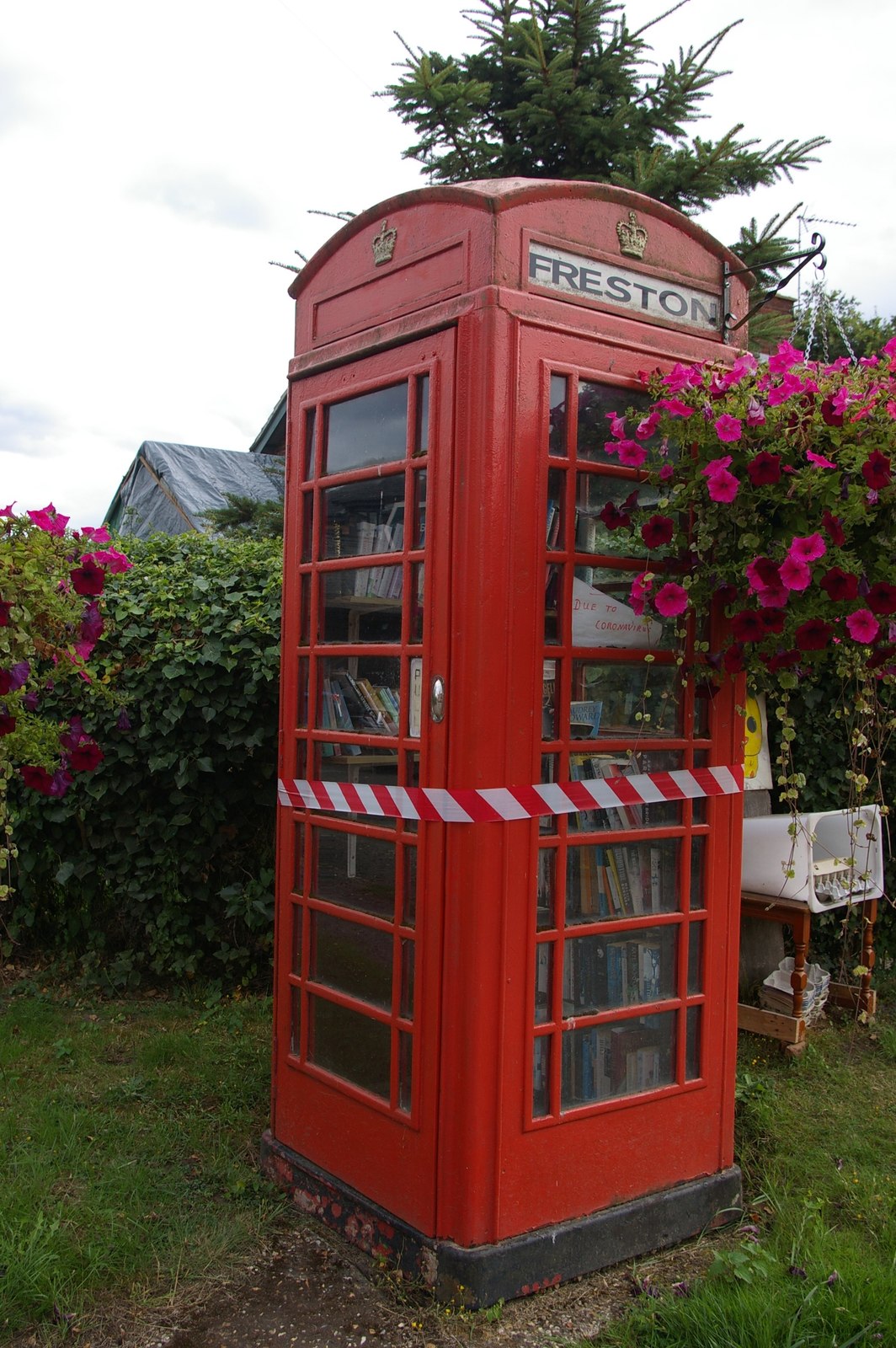
Freston
Villages · 1.2 km

Holbrook
Villages · 1.6 km

Woolverstone War Memorial in Front of Berners Hall
Memorials & monuments · 1.6 km

Holbrook Village Sign
Public art & sculpture · 1.8 km

Holbrook War Memorial
Memorials & monuments · 1.8 km

Woolverstone
Villages · 2.0 km
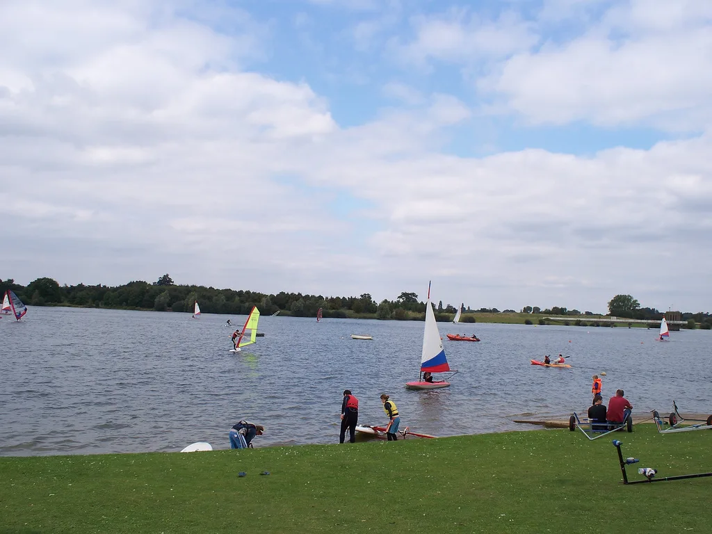
Alton Water
Natural landmarks · 2.5 km

Woolverstone Hall School
Historic houses · 2.7 km

Woolverstone Hall
Historic houses · 2.8 km

Alton Water Campsite
Campsites · 2.9 km
Nearby
📷 2Archaeological sites · East of England
Freston
Freston — a archaeological in england-east, United Kingdom.
📷 3Galleries · East of England
Old School Gallery
Old School Gallery — a gallery in england-east, United Kingdom.
📷 5📷 5📷 3Memorials & monuments · East of England
Woolverstone War Memorial in Front of Berners Hall
Woolverstone War Memorial in Front of Berners Hall — Grade II listed building-listed memorial in england-east, United Kingdom.
📷 3Public art & sculpture · East of England
Holbrook Village Sign
Holbrook Village Sign — a public art in england-east, United Kingdom.
Where to eat & stay near Interrupted ditch system at Potash Farm
Places to stay
📷 5Campsites · East of England
Alton Water Campsite
Alton Water Campsite — a campsite in england east.
 📷 5📷 5
Campsites · East of England
Hallowtree Scout Activity Centre
Hallowtree Scout Activity Centre — a campsite in england east.
 📷 7
📷 7Hotels · East of England
Belstead Brook Hotel
Belstead Brook Hotel — a hotel in england east.
 📷 5
📷 5Caravan parks · East of England
Stone Lane Caravan Site
Stone Lane Caravan Site — a caravan park in england east.
 📷 5
📷 5Places to eat & drink
 📷 5
📷 5Historic pubs · East of England
The Butt and Oyster
The Butt and Oyster in England East, United Kingdom.
 📷 5
📷 5 📷 7
📷 7Historic pubs · East of England
The Margaret Catchpole Public House
The Margaret Catchpole Public House in England East, United Kingdom.
 📷 5
📷 5 📷 5
📷 5Historic pubs · East of England
16, St Nicholas Street
16, St Nicholas Street in England East, United Kingdom.
 📷 5
📷 5More places in this region
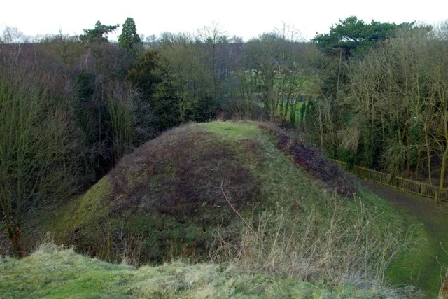 📷 5
📷 5Hill forts · East of England
Bartlow Hills
Bartlow Hills — Roman tumuli cemetery in Bartlow (Cambridgeshire, UK).
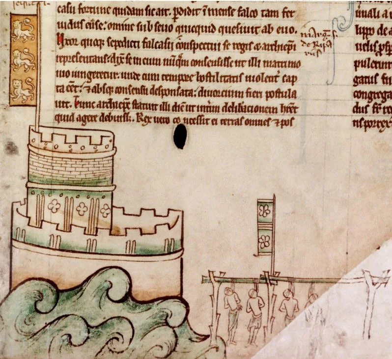 📷 5
📷 5Hill forts · East of England
Bedford Castle
Bedford Castle — castle in Bedfordshire, England, UK.
.jpg?width=1200) 📷 5
📷 5Hill forts · East of England
Beech Bottom Dyke
Beech Bottom Dyke — Iron Age ditch in St Albans, Hertfordshire, England, UK.
 📷 5
📷 5Hill forts · East of England
Braughing Roman Town
Braughing Roman Town — archaeological site in Braughing, East Hertfordshire, England, UK.
Frequently asked questions
- Where is Interrupted ditch system at Potash Farm?
- Interrupted ditch system at Potash Farm is in Suffolk, East of England, United Kingdom (postcode IP9 2PL), in the parish of Holbrook.
- What is Interrupted ditch system at Potash Farm?
- Interrupted ditch system at Potash Farm — archaeological site in Freston, Babergh, England, UK.
- How do I get to Interrupted ditch system at Potash Farm?
- The nearest railway station is Ipswich, about 5.9 km away. Drivers can use postcode IP9 2PL.
- Who owns Interrupted ditch system at Potash Farm?
- Interrupted ditch system at Potash Farm is owned by | designation1 = Scheduled Ancient Monument.
- Is Interrupted ditch system at Potash Farm a listed building?
- Interrupted ditch system at Potash Farm is officially recognised as scheduled monument listed.
- Is Interrupted ditch system at Potash Farm a protected site?
- Yes — Interrupted ditch system at Potash Farm is part of the Orwell Estuary SSSI Site of Special Scientific Interest and the Suffolk Coast & Heaths National Landscape (AONB).
- Is Interrupted ditch system at Potash Farm free to visit?
- Yes, Interrupted ditch system at Potash Farm is free to enter.
- How do I get to Interrupted ditch system at Potash Farm?
- The nearest railway station is Ipswich, about 5.9 km away. Drivers can navigate to postcode IP9 2PL.