
Islands · Central Scotland
Inchkeith
In or near Edinburgh.
Inchkeith — island in the Firth of Forth, Scotland.

Wikimedia Commons contributors — see linked file page for photographer and licence licence

Plan your visit
- Typical visit
- 4 h–12 h
- Nearest railway station
- Kinghorn · 5.1 km
- Free entry
- Dog-friendly
Getting there & planning your visit
To visit Inchkeith, the nearest railway station is Kinghorn, located 5.1 km away. Entry to the island is free.
About
Inchkeith is a island in the United Kingdom. Wikidata describes it as: "island in the Firth of Forth, Scotland". Coordinates: 56.0297°, -3.1338°.
Photo gallery
From the Wikipedia article
Inchkeith (from the Scottish Gaelic: Innis Cheith) is an island in the Firth of Forth, Scotland, administratively part of the Fife council area. Inchkeith has had a colourful history as a result of its proximity to Edinburgh, its strategic location for use as a home for Inchkeith Lighthouse, and for military purposes defending the Firth of Forth from attack from shipping and more recently protecting the upstream Forth Bridge and Rosyth Dockyard. Inchkeith has, by some accounts, been inhabited (intermittently) for almost 1,800 years.
Excerpt from Wikipedia under CC BY-SA 4.0. See the source article linked in Sources below.
Background
Description
, 1939]] Between the wars the fort and its guns were maintained. In 1937 several Lewis Guns were supplied, for anti-aircraft defence, and a pair of 12 Pdr QF guns, which were for drill and practice. In 1938, following the Munich Crisis, the island was further mobilised, and had more Nissen Huts installed, presumably for equipment and personnel. On 21 February 1940 a sand-filled dummy shell had to be fired across the bows of the Naval trawler 'Peter Carey', to stop it straying into a mined area; the shell ricocheted off the water and ended up bursting into a tenement flat at 118 Salamander Street in Leith. Fortunately no-one was injured. Inchkeith was the HQ of the Outer Defences of the…
Sourced from Wikipedia under CC BY-SA 4.0.
- Coordinates
- 56.0297, -3.1338
- Nearest railway station
- Kinghorn — 5.1 km
Sources
- wikidata: Q2610322 (CC0)
- wikipedia: Inchkeith (CC BY-SA 4.0)
- commons: Inchkeith Island.jpg (CC BY-SA 4.0)
Other places nearby

Leith Harbour
Harbours & ports · 0.3 km

Memorial To Lord Herbert Of Lea, Inchkeith
Memorials & monuments · 0.4 km
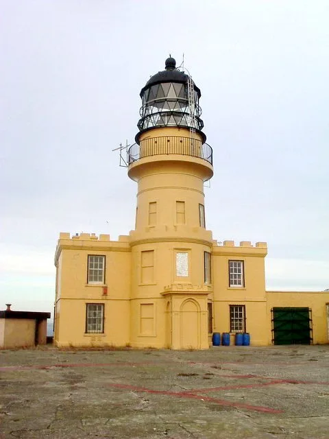
Inchkeith Lighthouse
Lighthouses · 0.4 km

Kirkealdy Harbour
Harbours & ports · 0.7 km
Kinghorn Harbour
Harbours & ports · 0.8 km

Pettycur
Villages · 4.6 km

Kinghorn Castle
Castles · 4.6 km

Pettycur Harbour, Kinghorn
Harbours & ports · 4.7 km

Kinghorn Beach
Beaches · 4.8 km

Pettycur Beach
Beaches · 4.8 km

Kinghorn harbour
Marinas · 5.0 km

Pettycur Sands
Beaches · 5.0 km
Nearby
📷 2📷 3Memorials & monuments · Central Scotland
Memorial To Lord Herbert Of Lea, Inchkeith
Memorial To Lord Herbert Of Lea, Inchkeith — category C listed building-listed memorial in scotland-central, United Kingdom.
📷 3Lighthouses · Central Scotland
Inchkeith Lighthouse
Inchkeith Lighthouse — lighthouse in Fife, Scotland, UK.
Harbours & ports · Central Scotland
Kirkealdy Harbour
Kirkealdy Harbour — a harbour in scotland central.
Harbours & ports · Central Scotland
Kinghorn Harbour
Kinghorn Harbour — a harbour in scotland central.
📷 5Where to eat & stay near Inchkeith
Places to stay
 📷 5
📷 5Caravan parks · Central Scotland
Sandhills Caravan Park
Sandhills Caravan Park — a caravan park in scotland central.
 📷 5
📷 5Caravan parks · Central Scotland
Kinghorn Harbour Holiday Park
Kinghorn Harbour Holiday Park — a caravan park in scotland central.
 📷 5
📷 5Caravan parks · Central Scotland
Pettycur Bay Holiday Park
Pettycur Bay Holiday Park — a caravan park in scotland central.
 📷 7
📷 7 📷 5
📷 5Hotels · Central Scotland
Premier Inn Leith Waterfront
Premier Inn Leith Waterfront — a hotel in scotland central. 3-star. Brand: Premier Inn.
 📷 6
📷 6Places to eat & drink
 📷 5
📷 5Historic pubs · Central Scotland
Public House and Restaurant, 3 The Shore, Leith, Edinburgh
Public House and Restaurant, 3 The Shore, Leith, Edinburgh in Scotland Central, United Kingdom.
 📷 6
📷 6Historic pubs · Central Scotland
Starbank Arms, 62-64 Laverockbank Road, Edinburgh
Starbank Arms, 62-64 Laverockbank Road, Edinburgh in Scotland Central, United Kingdom.
 📷 5
📷 5Historic pubs · Central Scotland
The Star Tavern, 71-73 High Street, Burntisland
The Star Tavern, 71-73 High Street, Burntisland in Scotland Central, United Kingdom.
 📷 7
📷 7Historic pubs · Central Scotland
Granton Tavern, 160 Lower Granton Road, Edinburgh
Granton Tavern, 160 Lower Granton Road, Edinburgh in Scotland Central, United Kingdom.
 📷 5
📷 5Historic pubs · Central Scotland
Public House, 5 Piershill Place, Portobello Road, Edinburgh
Public House, 5 Piershill Place, Portobello Road, Edinburgh in Scotland Central, United Kingdom.
 📷 5
📷 5Historic pubs · Central Scotland
23 Elm Row and 2 Montgomery Street, Edinburgh
23 Elm Row and 2 Montgomery Street, Edinburgh in Scotland Central, United Kingdom.
More places in this region
 Flagship📷 5
Islands · Central Scotland
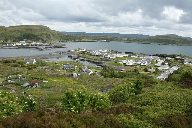
Easdale
Easdale — one of the Slate Islands, in the Firth of Lorn, Scotland.
 Flagship📷 5
Islands · Central Scotland
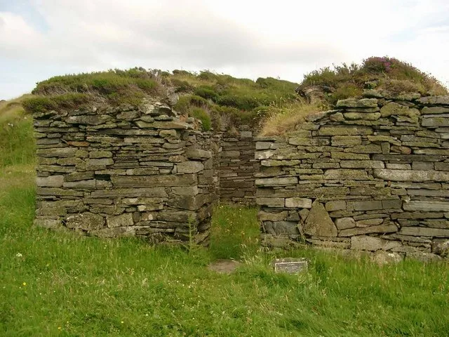
Eileach an Naoimh
Eileach an Naoimh — uninhabited island, Garvellachs, Scotland.
 Flagship📷 3
Islands · Central Scotland
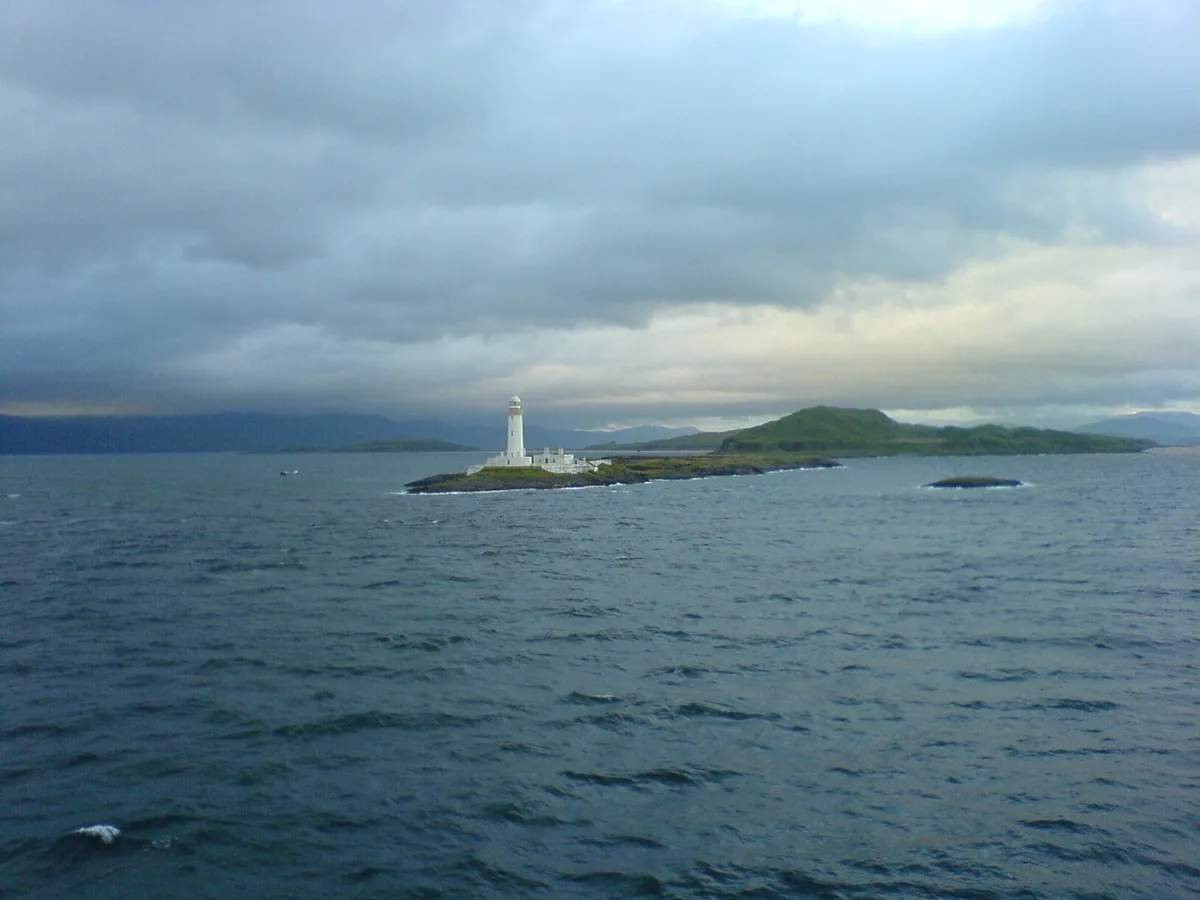
Eilean Musdile
Eilean Musdile — an islet to the south west of Lismore in the Inner Hebrides.
 📷 5
📷 5Islands · Central Scotland
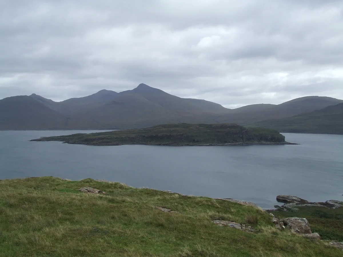
Eorsa
Eorsa — island. Off the coast of Mull, Scotland, in United Kingdom.
Frequently asked questions
- Where is Inchkeith?
- Inchkeith is in central Scotland, United Kingdom.
- What is Inchkeith?
- Inchkeith — island in the Firth of Forth, Scotland.
- How do I get to Inchkeith?
- The nearest railway station is Kinghorn, about 5.1 km away. The nearest town is Edinburgh. Its coordinates are 56.0297°, -3.1338°.
- Is Inchkeith free to visit?
- Yes, Inchkeith is free to enter.
- How do I get to Inchkeith?
- The nearest railway station is Kinghorn, about 5.1 km away.