
Castles · South West England
Huntsham Castle
In or near Hockworthy.
Huntsham Castle — Iron Age hill fort in Devon, England, UK.

Wikimedia Commons contributors — see linked file page for photographer and licence licence

Plan your visit
- Typical visit
- 1.5 h–3 h
- Nearest railway station
- Tiverton Parkway · 7.8 km
- Family-friendly
- Limited wheelchair access
Getting there & planning your visit
To visit Huntsham Castle, the nearest railway station is Tiverton Parkway, located 7.8 km away. The postcode for sat-nav is EX16 7NG. Please note that wheelchair accessibility is limited.
About
Huntsham Castle is a castle in the United Kingdom — fortified architecture from the medieval, Tudor, or Victorian-revival period. Heritage designation: scheduled monument. Wikidata describes it as: "Iron Age hill fort in Devon, England, UK". Coordinates: 50.9740°, -3.4250°.
Photo gallery
Heritage listing
Huntsham Castle, Devon, England is an Iron Age Hill fort enclosure near the village of Huntsham, it is located 260 m (850 ft) above sea level on the edge of the former Parish of Tiverton. The monument includes a slight univallate hillfort situated on a prominent hill overlooking the valleys of two separate tributaries to the River Lowman. The monument survives as a sub-circular enclosure, defining an area which slopes gently down to the south and measures approximately 150m in diameter. It is clearly demarcated on all sides by a rampart which varies in height from 1m up to 2.4m internally, being generally of greater height on the northern side of the enclosure. Externally this rampart is up to 2.9m high.
From the Historic England List Entry under OGL v3.
From the Wikipedia article
Huntsham Castle, Devon, England is an Iron Age Hill fort enclosure near the village of Huntsham, it is located 260 m (850 ft) above sea level on the edge of the former Parish of Tiverton. The monument includes a slight univallate hillfort situated on a prominent hill overlooking the valleys of two separate tributaries to the River Lowman. The monument survives as a sub-circular enclosure, defining an area which slopes gently down to the south and measures approximately 150m in diameter. It is clearly demarcated on all sides by a rampart which varies in height from 1m up to 2.4m internally, being generally of greater height on the northern side of the enclosure. Externally this rampart is up to 2.9m high. Surrounding the rampart is an outer ditch which measures up to 5.4m wide and 0.4m deep and this is visible on all sides of the monument, although it is predominantly preserved as a buried feature. On the north eastern side, the outer edge of this ditch is defined by a field boundary bank and the infilled ditch has been used in the past as a track. There is an inturned entrance on the north eastern side which measures 7m wide, and the inturned banks are up to 2.2m wide and 0.4m high. The enclosure is crossed by a parish boundary bank which measures up to 2m wide and 1.5m high, and has been partially cut at the north eastern corner by a quarry, approximately 20m long, 15m wide and up to 2.8m deep, which lies to the north of the entrance. A further quarry lies to the south of the parish boundary bank, on the western side of the enclosure and measures 8.7 metres (29 ft) long, 5.3 metres (17 ft) wide and up to 1 metre (3.3 ft) deep. A third quarry lies to the north west and has partially cut into the ditch and rampart on this side; however much of this quarry lies just beyond the monument itself. A further entrance to the enclosure may lie on the western side, where the rampart is seen to kink slightly inwards. The stock proof fences around the rampart and ditch, the…
Excerpt from Wikipedia under CC BY-SA 4.0. See the source article linked in Sources below.
- Coordinates
- 50.9740, -3.4250
- County
- Devon
- District
- Mid Devon
- Parish
- Huntsham
- Postcode
- EX16 7NG
- Parliamentary constituency
- Tiverton and Minehead
- Nearest railway station
- Tiverton Parkway — 7.8 km
Sources
- wikidata: Q5945780 (CC0)
- wikipedia: Huntsham Castle (CC BY-SA 4.0)
- commons: HuntshamCastle1.jpg (CC BY-SA 4.0)
Other places nearby

Huntsham War Memorial
Memorials & monuments · 0.0 km
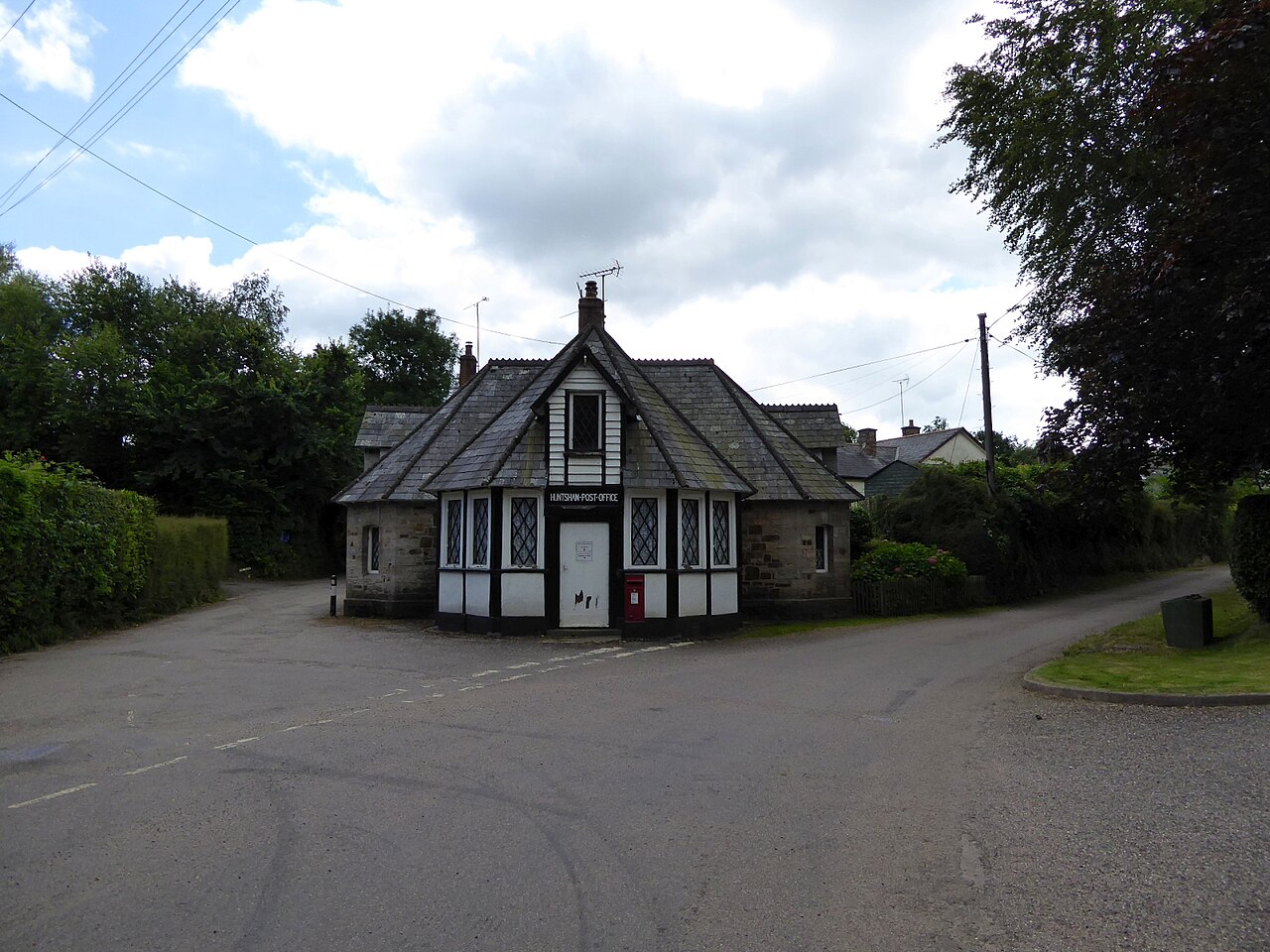
Huntsham
Villages · 0.1 km

Cudmore Farm Roman Fort
Forts · 1.7 km

Three Gates Hill
Mountains & hills · 2.3 km

Chimney Down
Mountains & hills · 2.5 km
Huntsham Castle
Castles · 2.7 km
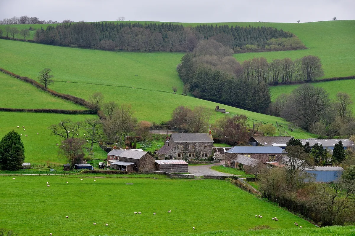
Nutcombe Manor
Stately homes · 3.4 km

Barton Knap
Mountains & hills · 3.7 km

Heniton Hill
Mountains & hills · 3.9 km

Hockworthy
Towns & cities · 4.0 km

The Quarryman's Rest
B&Bs · 4.4 km
.jpg?width=1200)
Chapel Of St John The Baptist
Chapels · 4.4 km
Nearby
📷 3Memorials & monuments · South West England
Huntsham War Memorial
Huntsham War Memorial — Grade II listed building-listed memorial in england-south-west, United Kingdom.
📷 5📷 5Forts · South West England
Cudmore Farm Roman Fort
Cudmore Farm Roman Fort is a fort in the United Kingdom.
📷 5Mountains & hills · South West England
Three Gates Hill
Three Gates Hill — a hill or mountain in england south west.
📷 5Mountains & hills · South West England
Chimney Down
Chimney Down — a hill or mountain in england south west.
Where to eat & stay near Huntsham Castle
Places to stay
📷 5B&Bs · South West England
The Quarryman's Rest
The Quarryman's Rest — a bed-and-breakfast in england south west.
 📷 5
📷 5Campsites · South West England
Waterrow Touring Park
Waterrow Touring Park — a campsite in england south west.
 📷 5
📷 5Caravan parks · South West England
Minnows Touring Park
Minnows Touring Park — a caravan park in england south west.
 📷 5
📷 5Caravan parks · South West England
Pugham Caravan Park
Pugham Caravan Park — a caravan park in england south west.
 📷 5
📷 5Caravan parks · South West England
Exebridge Lakeside Club Campsite
Exebridge Lakeside Club Campsite — a caravan park in england south west.
 📷 5
📷 5Hotels · South West England
Travelodge Tiverton
Travelodge Tiverton — a hotel in england south west.
Places to eat & drink
 📷 5
📷 5Restaurants · South West England
The Bridge House Hotel
The Bridge House Hotel — a restaurant in england south west.
 📷 5
📷 5Historic pubs · South West England
Merrimeade Hotel
Merrimeade Hotel in England South West, United Kingdom.
 📷 5
📷 5Historic pubs · South West England
Barley Mow Public House
Barley Mow Public House in England South West, United Kingdom.
 📷 7
📷 7Historic pubs · South West England
The Queens Head (Number 20)
The Queens Head (Number 20) in England South West, United Kingdom.
 📷 5
📷 5Historic pubs · South West England
The Red Lion Public House
The Red Lion Public House in England South West, United Kingdom.
 📷 7
📷 7Historic pubs · South West England
The White Ball Public House
The White Ball Public House in England South West, United Kingdom.
More castles in this region
 Flagship📷 10
Castles · South West England
Old Wardour Castle
Old Wardour Castle — Grade I listed castle in Wardour, Wiltshire, England, UK.
 📷 5
📷 5Castles · South West England
Ballands Castle
Ballands Castle — former castle in Somerset, England, UK.
 📷 5
📷 5Castles · South West England
Brownsea Castle
Brownsea Castle — grade II listed Device Fort in Purbeck, United Kingdom.
 📷 5
📷 5Frequently asked questions
- Where is Huntsham Castle?
- Huntsham Castle is in Devon, South-West England, United Kingdom (postcode EX16 7NG), in the parish of Huntsham.
- What is Huntsham Castle?
- Huntsham Castle — Iron Age hill fort in Devon, England, UK.
- How do I get to Huntsham Castle?
- The nearest railway station is Tiverton Parkway, about 7.8 km away. The nearest town is Hockworthy. Drivers can use postcode EX16 7NG.
- Is Huntsham Castle a listed building?
- Huntsham Castle is officially recognised as scheduled monument listed.
- Does Huntsham Castle charge admission?
- Huntsham Castle typically charges admission. Check the official site for current ticket prices and opening hours.
- How do I get to Huntsham Castle?
- The nearest railway station is Tiverton Parkway, about 7.8 km away. Drivers can navigate to postcode EX16 7NG.