
Reservoirs & lochs · East Midlands
Howden Reservoir
In or near Edale.
Howden Reservoir — reservoir in Derbyshire and South Yorkshire, England, UK.

Wikimedia Commons contributors — see linked file page for photographer and licence licence

Plan your visit
- Typical visit
- 1 h–2.5 h
- Nearest railway station
- Edale · 8.8 km
- Free entry
- Dog-friendly
Getting there & planning your visit
Howden Reservoir is located in the East Midlands, Derbyshire, with the postcode S33 0BB. The nearest railway station is Edale, which is 8.8 km away. Entry to the reservoir is free.
About
Howden Reservoir is a reservoir in the United Kingdom. Managed by Severn Trent. Wikidata describes it as: "reservoir in Derbyshire and South Yorkshire, England, UK". Coordinates: 53.4333°, -1.7500°.
Photo gallery
Protected designations
- Site of Special Scientific Interest: Dark Peak SSSI
Designations sourced from Natural England open data under OGL v3.
From the Wikipedia article
The Howden Reservoir is a Y-shaped reservoir, the uppermost of the three in the Upper Derwent Valley, England. The western half of the reservoir lies in Derbyshire and the eastern half is in Sheffield, South Yorkshire; the county border runs through the middle of the reservoir, following the original path of the River Derwent. The longest arm is around 1+1⁄4 mi (2.0 km) in length. The reservoir is bounded at the southern end by Howden Dam; below this, the Derwent flows immediately into Derwent Reservoir and subsequently the Ladybower Reservoir. Other tributaries include the River Westend, Howden Clough and Linch Clough. Work commenced on the dam's construction on 16 July 1901 and completed in July 1912. The chief engineer was Edward Sandeman. He was also in charge of building nearby Derwent dam and was awarded the Telford Medal in 1918 for his work "Derwent Valley Waterworks". The works involved constructing a temporary village at Birchinlee, or "Tin Town", for the workers, a temporary railway line from the main line at Bamford, construction of a link aqueduct to the Derwent Dam. The dam is of solid masonry construction, and 117 ft (36 m) tall, 1,080 ft (330 m) long, and impounds 1,900,000 imp gal (8,600 kl) of water, from a catchment area of 5,155 acres (2,086 ha). The workers who died during the construction of the dam were buried in St John the Baptist's Church, Bamford. To the east of the reservoir stands Featherbed Moss, one of the highest tops in the area at 1,788 ft (545 m), and one of several tops of that name in the area. This is not to be confused with the more well-known Featherbed Moss on the Pennine Way between Kinder Scout and Bleaklow.
Excerpt from Wikipedia under CC BY-SA 4.0. See the source article linked in Sources below.
- Coordinates
- 53.4333, -1.7500
- County
- Derbyshire
- District
- High Peak
- Parish
- Hope Woodlands
- Postcode
- S33 0BB
- Parliamentary constituency
- High Peak
- Nearest railway station
- Edale — 8.8 km
Sources
- wikidata: Q1631956 (CC0)
- wikipedia: Howden Reservoir (CC BY-SA 4.0)
- commons: Howden Dam.jpg (CC BY-SA 4.0)
Other places nearby

River Westend
Museums · 0.4 km

Nether Hey
Mountains & hills · 1.2 km

Upper Hey
Mountains & hills · 1.7 km

Derwent Reservoir
Reservoirs & lochs · 1.9 km

Derwent Reservoir
Reservoirs & lochs · 2.4 km

Slippery Stones Plunge Pool
Natural landmarks · 2.4 km
Slippery Stones Plunge Pool
Wild swimming spots · 2.4 km
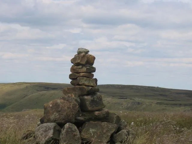
High Stones
Mountains & hills · 2.5 km

The Tower
Mountains & hills · 3.0 km

Rowlee Pasture
Mountains & hills · 3.1 km

Tip the Faithful Sheepdog
Memorials & monuments · 3.1 km
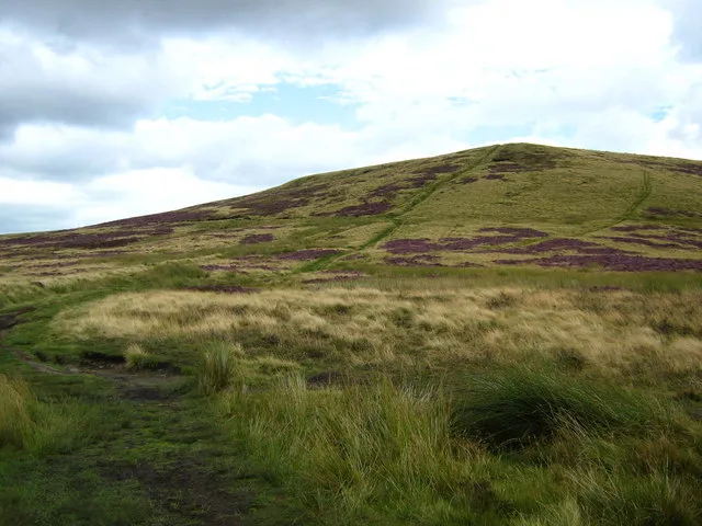
Lost Lad
Mountains & hills · 3.2 km
Nearby
📷 5Museums · East Midlands
River Westend
River Westend — a museum in england-east-midlands, United Kingdom.
📷 5Mountains & hills · East Midlands
Nether Hey
Nether Hey — mountain in england east midlands. Elevation: 416 m.
📷 5Mountains & hills · East Midlands
Upper Hey
Upper Hey — mountain in england east midlands. Elevation: 446 m.
📷 5Reservoirs & lochs · East Midlands
Derwent Reservoir
Derwent Reservoir — a reservoir in england east midlands.
📷 5Reservoirs & lochs · East Midlands
Derwent Reservoir
Derwent Reservoir — reservoir in Derbyshire and South Yorkshire, England.
📷 3Natural landmarks · East Midlands
Slippery Stones Plunge Pool
Slippery Stones Plunge Pool — a place in East Midlands, United Kingdom.
Where to eat & stay near Howden Reservoir
Places to stay
 📷 5
📷 5Hostels · East Midlands
Edale Youth Hostel
Edale Youth Hostel — a hostel in england east midlands. Brand: Youth Hostels Association.
📷 5📷 5 📷 5
📷 5Campsites · East Midlands
Greenacres Campsite
Greenacres Campsite — a campsite in england east midlands.
 📷 5
📷 5 📷 5
📷 5Campsites · East Midlands
Newfold Farm Campsite
Newfold Farm Campsite — a campsite in england east midlands.
Places to eat & drink
 📷 5
📷 5Historic pubs · East Midlands
The Old Nags Head
The Old Nags Head in England Yorkshire, United Kingdom.
 📷 7
📷 7Historic pubs · Yorkshire & the Humber
Wagon And Horses Public House
Wagon And Horses Public House in England Yorkshire, United Kingdom.
 📷 5
📷 5Historic pubs · East Midlands
Bulls Head Public House
Bulls Head Public House in England Yorkshire, United Kingdom.
 📷 5
📷 5Historic pubs · East Midlands
Norfolk Arms Public House
Norfolk Arms Public House in England Yorkshire, United Kingdom.
 📷 5
📷 5Historic pubs · East Midlands
Former Dollars Public House
Former Dollars Public House in England Yorkshire, United Kingdom.
 📷 5
📷 5Historic pubs · East Midlands
The Crown Inn, Glossop
The Crown Inn, Glossop in England Yorkshire, United Kingdom.
More places run by Severn Trent
 Flagship📷 5
Reservoirs & lochs · East Midlands
Ladybower Reservoir
Ladybower Reservoir — reservoir in Derbyshire, England.
📷 5Reservoirs & lochs · East Midlands
Derwent Reservoir
Derwent Reservoir — reservoir in Derbyshire and South Yorkshire, England.
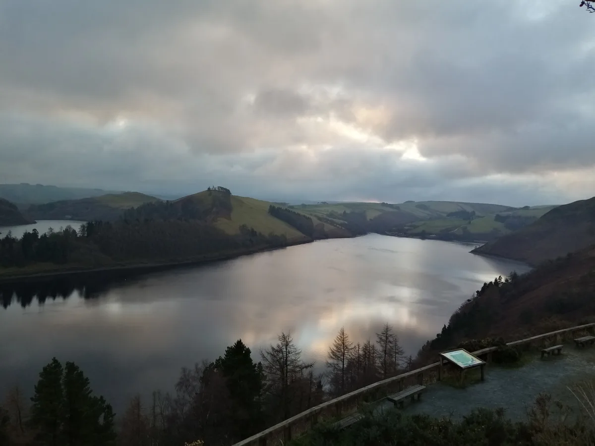 📷 5
📷 5Reservoirs & lochs · Mid Wales
Clywedog Reservoir
Clywedog Reservoir — reservoir in Powys, Wales, UK.
More places in this region
 📷 3
📷 3Reservoirs & lochs · East Midlands
Toddbrook Reservoir
Toddbrook Reservoir — reservoir in Derbyshire, England, UK.
 📷 3
📷 3Reservoirs & lochs · East Midlands
Agden Reservoir
Agden Reservoir — reservoir in South Yorkshire, England, UK.
 📷 5
📷 5Reservoirs & lochs · East Midlands
Arnfield Reservoir
Arnfield Reservoir — reservoir in Derbyshire, England, UK.
 📷 3
📷 3Reservoirs & lochs · East Midlands
Blackbrook Reservoir
Blackbrook Reservoir — reservoir and Site of Special Scientific Interest in Leicestershire, United Kingdom.
Frequently asked questions
- Where is Howden Reservoir?
- Howden Reservoir is in Derbyshire, the East Midlands, United Kingdom (postcode S33 0BB), in the parish of Hope Woodlands.
- What is Howden Reservoir?
- Howden Reservoir — reservoir in Derbyshire and South Yorkshire, England, UK.
- How do I get to Howden Reservoir?
- The nearest railway station is Edale, about 8.8 km away. The nearest town is Edale. Drivers can use postcode S33 0BB.
- Who runs Howden Reservoir?
- Howden Reservoir is operated by Severn Trent.
- Is Howden Reservoir a protected site?
- Yes — Howden Reservoir is part of the Dark Peak SSSI Site of Special Scientific Interest.
- Is Howden Reservoir free to visit?
- Yes, Howden Reservoir is free to enter.
- How do I get to Howden Reservoir?
- Drivers can navigate to postcode S33 0BB. It sits within the High Peak parliamentary constituency.