
Wildlife reserves · London
Hornchurch Cutting
In or near Havering-atte-Bower.
Hornchurch Cutting — English Geological Site.

Wikimedia Commons contributors — see linked file page for photographer and licence licence

Plan your visit
- Typical visit
- 2 h–4 h
- Best time of year
- Autumn & winter (migration & wildfowl)
- Nearest railway station
- Upminster Bridge · 0.7 km
- Free entry
- Dog-friendly
Getting there & planning your visit
Hornchurch Cutting is located in Havering, London, with the postcode RM11 3NW. The nearest railway station is Upminster Bridge, which is 0.7 km away. Entry to the wildlife reserve is free.
About
Hornchurch Cutting is a wildlife reserve in the United Kingdom. Heritage designation: Site of Special Scientific Interest. Wikidata describes it as: "English Geological Site". Coordinates: 51.5636°, 0.2308°.
Photo gallery
Protected designations
- Site of Special Scientific Interest: Hornchurch Cutting SSSI
Designations sourced from Natural England open data under OGL v3.
From the Wikipedia article
Hornchurch Cutting is a 0.8-hectare (2.0-acre) geological Site of Special Scientific Interest in Hornchurch in the London Borough of Havering. It is also a Geological Conservation Review site. It is at the southern edge of the Anglian ice sheet 450,000 years ago, the most extreme ice age during the Pleistocene ice ages of the last 2.58 million years. (Technically, the most southerly point reached by an ice sheet during the Quaternary was The Dell, a few metres south of St Andrew's Church.) It is the type site for Hornchurch Till, boulder clay laid down by the ice sheet in the Ingrebourne Valley. The site was discovered by geologist T. V. Holmes during construction of the Romford to Upminster railway line in 1892. He found a five-metre thickness of boulder clay overlaid by sand and gravel. An excavation in 1983 revealed extensive Jurassic fossils and rocks that had been carried from the Midlands by the ice sheet. The site is very important for establishing the glacial stratigraphy of southern Britain. It featured briefly in the Channel 4 TV series Birth of Britain with Tony Robinson in 2011. It is between Woodhall Crescent to the north and St Andrew's Park and Maywin Drive to the south.
Excerpt from Wikipedia under CC BY-SA 4.0. See the source article linked in Sources below.
- Coordinates
- 51.5636, 0.2308
- District
- Havering
- Parish
- Havering, unparished area
- Postcode
- RM11 3NW
- Parliamentary constituency
- Hornchurch and Upminster
- Nearest railway station
- Upminster Bridge — 0.7 km
Sources
- wikidata: Q5904183 (CC0)
- wikipedia: Hornchurch Cutting (CC BY-SA 4.0)
- commons: Hornchurch Cutting SSSI.JPG (CC BY-SA 4.0)
Other places nearby

Emerson Court
Natural landmarks · 0.5 km
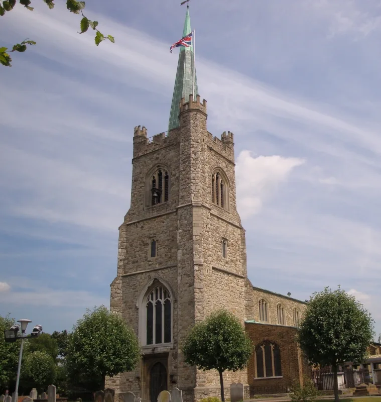
St Andrew's Church, Hornchurch
Historic churches · 0.5 km

Hornchurch War Memorial
Memorials & monuments · 0.5 km
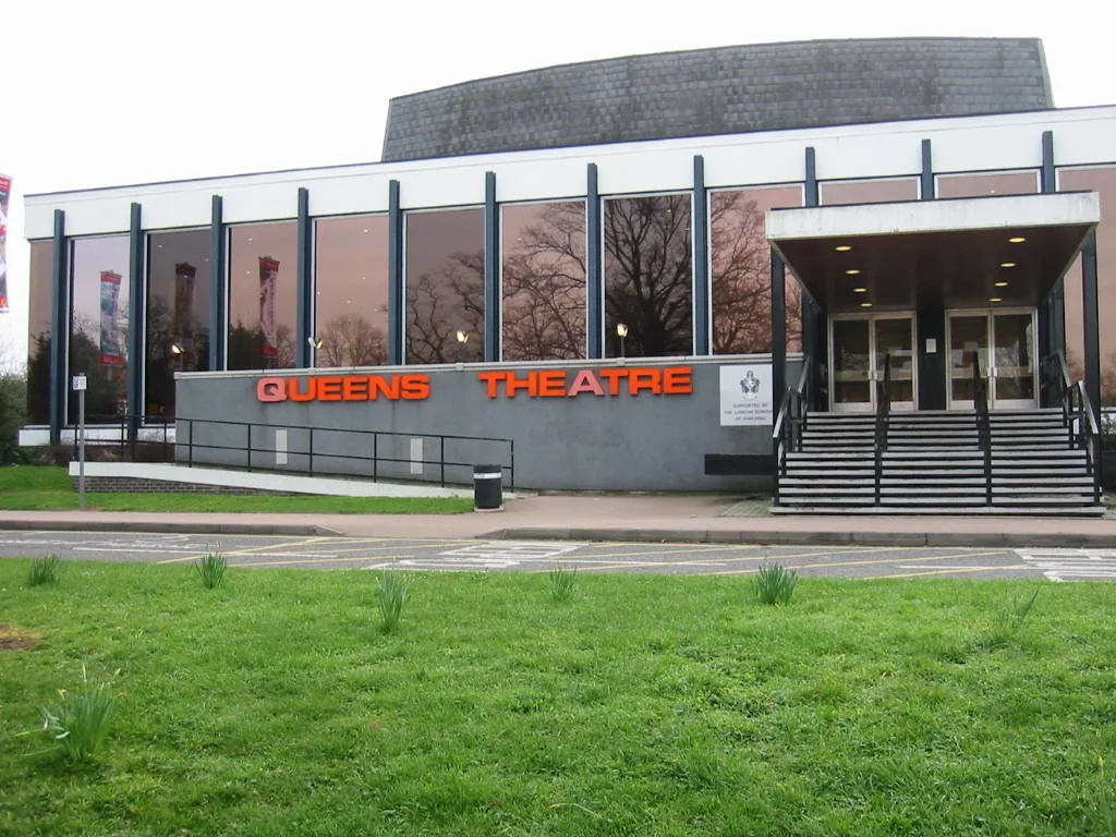
Queen's Theatre
Theatres · 0.8 km

Queen's Theatre
Open-air theatres · 0.8 km

Upminster Bridge
Chapels · 0.9 km

Queen's Theatre
Theatres · 1.0 km

Langtons
Historic houses · 1.0 km

Devonshire Hotel
Hotels · 1.0 km

Towers Cinema
Theatres · 1.1 km

Emerson Park
Chapels · 1.2 km

Well Tower At Tower Lodge
Memorials & monuments · 1.2 km
Nearby
📷 5Natural landmarks · London
Emerson Court
Emerson Court — a other in england-london, United Kingdom.
📷 5Historic churches · London
St Andrew's Church, Hornchurch
St Andrew's Church, Hornchurch — church in Hornchurch, London.
📷 5Memorials & monuments · London
Hornchurch War Memorial
Hornchurch War Memorial — Grade II listed building-listed memorial in england-london, United Kingdom.
📷 5Theatres · London
Queen's Theatre
Queen's Theatre is a theatre in the United Kingdom.
📷 5Open-air theatres · London
Queen's Theatre
Queen's Theatre — a open-air theatre in england london.
📷 5Chapels · London
Upminster Bridge
Upminster Bridge — a methodist chapel in england-london, United Kingdom.
Where to eat & stay near Hornchurch Cutting
Places to stay
📷 5Hotels · London
Devonshire Hotel
Devonshire Hotel — a hotel in england london.
 📷 5
📷 5 📷 5
📷 5Hotels · London
The Marygreen Manor Hotel
The Marygreen Manor Hotel — a hotel in england london.
 📷 5
📷 5Campsites · London
Cherrywood Campsite
Cherrywood Campsite — a campsite in england london.
 📷 7
📷 7 📷 5
📷 5Campsites · London
Thriftwood Scout Camp
Thriftwood Scout Camp — a campsite in england london.
Places to eat & drink
 📷 5
📷 5 📷 5
📷 5 📷 5
📷 5 📷 7
📷 7 📷 5
📷 5 📷 5
📷 5Historic pubs · London
Greyhound Public House
Greyhound Public House in England London, United Kingdom.
More places in this region
 Flagship📷 10
Wildlife reserves · London
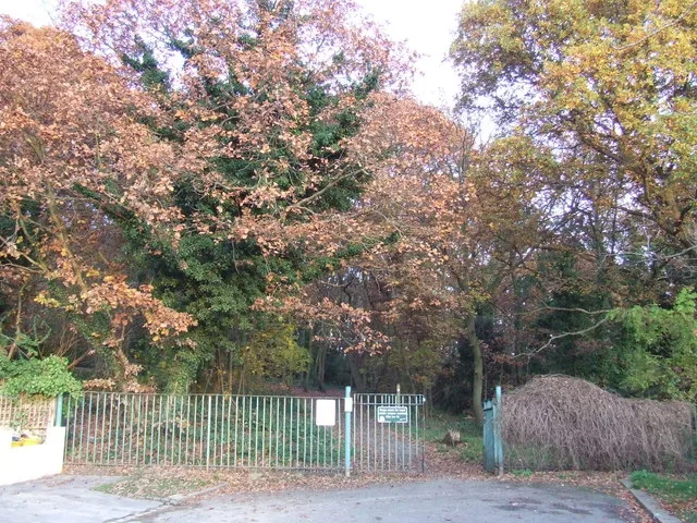
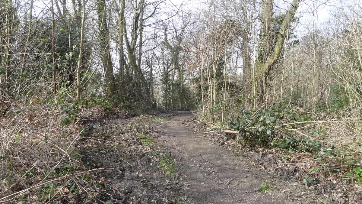
Bedfords Park
Bedfords Park — Havering London Borough green landscape, also an Essex Wildlife Trust Nature reserve.
 Flagship📷 10
 Flagship📷 10
Wildlife reserves · London
Bramley Bank
Bramley Bank — Nature reserve in Upper Shirley.
 Flagship📷 10
Wildlife reserves · London
Chafford Gorges Nature Park
Chafford Gorges Nature Park — Essex Wildlife Trust Nature reserve.
Frequently asked questions
- Where is Hornchurch Cutting?
- Hornchurch Cutting is in London, United Kingdom (postcode RM11 3NW), in the parish of Havering, unparished area.
- What is Hornchurch Cutting?
- Hornchurch Cutting — English Geological Site.
- How do I get to Hornchurch Cutting?
- The nearest railway station is Upminster Bridge, about 0.7 km away. The nearest town is Havering-atte-Bower. Drivers can use postcode RM11 3NW.
- Is Hornchurch Cutting a listed building?
- Hornchurch Cutting is officially recognised as Site of Special Scientific Interest listed.
- Is Hornchurch Cutting a protected site?
- Yes — Hornchurch Cutting is part of the Hornchurch Cutting SSSI Site of Special Scientific Interest.
- Is Hornchurch Cutting free to visit?
- Yes, Hornchurch Cutting is free to enter.
- How do I get to Hornchurch Cutting?
- The nearest railway station is Upminster Bridge, about 0.7 km away. Drivers can navigate to postcode RM11 3NW.
- Are dogs allowed at Hornchurch Cutting?
- Most wildlife reserves allow dogs on lead only, with restrictions during ground-nesting bird season (March-July). Check signage at the reserve.