Mountains & hills · Yorkshire & the Humber
Hoove
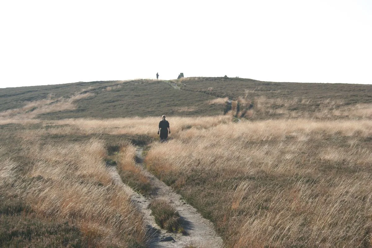
In or near Arkle Town.
Hoove — Named summit at 554 m.

Wikimedia Commons contributors — see linked file page for photographer and licence licence
Plan your visit
- Typical visit
- 3 h–8 h
- Best time of year
- Late spring – early autumn (May–Oct)
- Free entry
- Dog-friendly
About
Hoove is a named summit in the United Kingdom. Wikidata describes it as: "Named summit at 554 m.". Coordinates: 54.4593°, -1.9955°.
Photo gallery
Protected designations
- Site of Special Scientific Interest: Arkengarthdale, Gunnerside and Reeth Moors SSSI
- Area of Outstanding Natural Beauty: North Pennines
Designations sourced from Natural England open data under OGL v3.
From the Wikipedia article
Hoove is a hill in the northern Yorkshire Dales in North Yorkshire, England, near the town of Barnard Castle in County Durham. Its elevation is 554 metres (1,818 ft), and it is classified as a Marilyn (a hill with topographic prominence of at least 150m).
Excerpt from Wikipedia under CC BY-SA 4.0. See the source article linked in Sources below.
- Coordinates
- 54.4593, -1.9955
- District
- North Yorkshire
- Parish
- Arkengarthdale
- Postcode
- DL11 6HB
- Parliamentary constituency
- Richmond and Northallerton
Sources
- osm: n4518614958 (ODbL)
- wikipedia: Hoove (CC BY-SA 4.0)
- commons: Mell Close - geograph.org.uk - 34922.jpg (CC BY-SA 4.0)
Other places nearby

Fryingpan Stone
Memorials & monuments · 0.9 km

Arndale Hill
Mountains & hills · 2.0 km

Windegg Mine Caverns
Caves · 2.0 km

Kitley Hill
Mountains & hills · 2.3 km

Peat Moor Hill
Mountains & hills · 2.5 km

Arkengarthdale
Museums · 2.7 km

Cleasby Hill
Mountains & hills · 2.7 km

Whaw
Natural landmarks · 3.1 km

Old Smelting Mill
Archaeological sites · 3.6 km

Arkle Beck Meadows, Whaw
Wildlife reserves · 3.6 km

Old Powder Magazine
Mines & mining heritage · 3.7 km
Lead Flue
Historic houses · 3.7 km
Nearby
📷 3Memorials & monuments · North East England
Fryingpan Stone
Fryingpan Stone — a memorial in england-yorkshire, United Kingdom.
📷 5Mountains & hills · North East England
Arndale Hill
Arndale Hill — mountain in england yorkshire. Elevation: 515.7 m.
📷 5Caves · Yorkshire & the Humber
Windegg Mine Caverns
Windegg Mine Caverns — a cave broad in england-yorkshire, United Kingdom.
📷 5Mountains & hills · North East England
Kitley Hill
Kitley Hill — mountain in england north west. Elevation: 445 m.
📷 5Mountains & hills · Yorkshire & the Humber
Peat Moor Hill
Peat Moor Hill — mountain in england yorkshire. Elevation: 522 m.
📷 4Where to eat & stay near Hoove
Places to stay
 📷 5
📷 5Caravan parks · North East England
Bowfield Farm Camping and Caravaning
Bowfield Farm Camping and Caravaning — a caravan park in england north east.
 📷 5
📷 5Campsites · North East England
Ivy Hall Farm Campsite
Ivy Hall Farm Campsite — a campsite in england north east.
 📷 5
📷 5Campsites · North East England
The Old Armoury Campsite
The Old Armoury Campsite — a campsite in england north east.
 📷 5
📷 5 📷 5
📷 5Hotels · Yorkshire & the Humber
The Kings Arms
The Kings Arms — a hotel in england yorkshire.
 📷 5
📷 5Campsites · Yorkshire & the Humber
Scabba Wath Campsite
Scabba Wath Campsite — a campsite in england yorkshire.
Places to eat & drink
 📷 5
📷 5 📷 5
📷 5Historic pubs · North East England
Milbank Arms
Milbank Arms in England North East, United Kingdom.
 📷 5
📷 5Historic pubs · North East England
Blue Bell Public House
Blue Bell Public House in England North East, United Kingdom.
 📷 5
📷 5Historic pubs · North East England
The White Swan Public House And Swan Cottage
The White Swan Public House And Swan Cottage in England North East, United Kingdom.
 📷 5
📷 5Historic pubs · Yorkshire & the Humber
Kings Head Inn
Kings Head Inn in England North West, United Kingdom.
 📷 5
📷 5Historic pubs · North East England
Turk's Head Public House
Turk's Head Public House in England North East, United Kingdom.
More mountains in this region
 📷 3
📷 3 📷 5
📷 5Mountains & hills · Yorkshire & the Humber
Whaley Moor
Whaley Moor — a hill or mountain in england west midlands.
 📷 5
📷 5Mountains & hills · Yorkshire & the Humber
Idle Hill
Idle Hill — a hill or mountain in england west midlands.
 📷 5
📷 5Mountains & hills · Yorkshire & the Humber
Hollingworthhall Moor
Hollingworthhall Moor — a hill or mountain in england west midlands.
Frequently asked questions
- Where is Hoove?
- Hoove is in Yorkshire, United Kingdom (postcode DL11 6HB), in the parish of Arkengarthdale.
- What is Hoove?
- Hoove — Named summit at 554 m.
- How do I get to Hoove?
- Drivers can use postcode DL11 6HB.
- Is Hoove a protected site?
- Yes — Hoove is part of the Arkengarthdale, Gunnerside and Reeth Moors SSSI Site of Special Scientific Interest and the North Pennines National Landscape (AONB).
- Is Hoove free to visit?
- Yes, Hoove is free to enter.
- How do I get to Hoove?
- Drivers can navigate to postcode DL11 6HB. It sits within the Richmond and Northallerton parliamentary constituency.