Mountains & hills · Northern Ireland
Holywell Hill
Also known as: Cnoc an Tobair
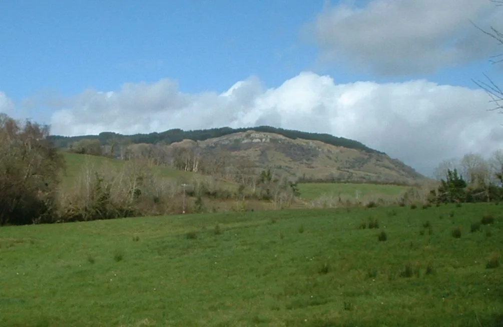
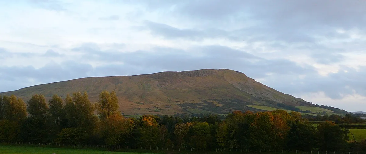
Holywell Hill — Named summit at 313.4 m.

Wikimedia Commons contributors — see linked file page for photographer and licence licence
Plan your visit
- Typical visit
- 3 h–8 h
- Best time of year
- Late spring – early autumn (May–Oct)
- Nearest railway station
- Derry~Londonderry · 5.5 km
- Free entry
- Dog-friendly
About
Holywell Hill is a named summit in the United Kingdom. Also known as: Cnoc an Tobair. Wikidata describes it as: "Named summit at 313.4 m.". Coordinates: 54.9988°, -7.3983°.
Photo gallery
From the Wikipedia article
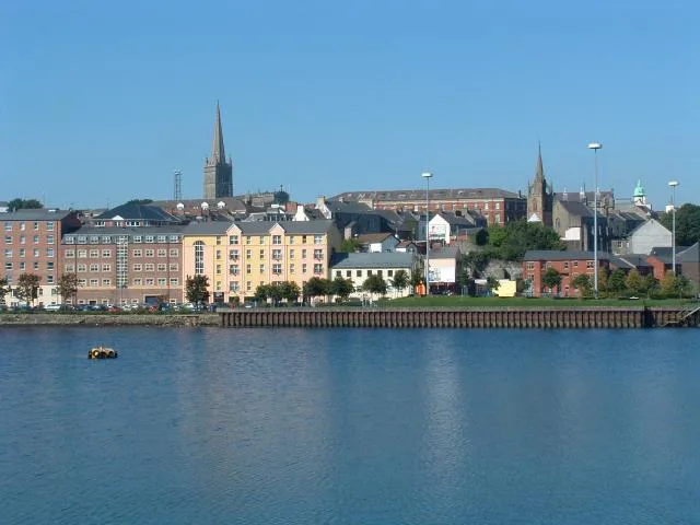
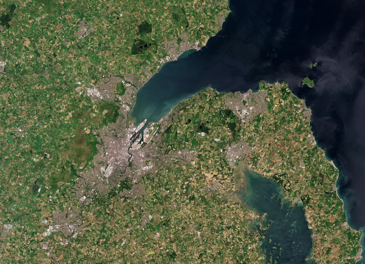
The Holywell Hill transmission site is located on a 260-metre (853') hill near Killea in County Donegal, Ireland, and is owned and operated by 2RN (formerly RTÉ NL).
Excerpt from Wikipedia under CC BY-SA 4.0. See the source article linked in Sources below.
Background
History
The site which is close to the border with Northern Ireland has a 60-metre (200') self-supporting tower and was opened in 1981 to provide UHF television coverage to parts of County Donegal as well as Derry City and County. It originally carried the two Irish analogue channels, RTÉ One (Ch 23), and RTÉ Two (Ch 26), in later years, both TV3 (Ch 29), and TG4 (Ch 33) were added, all were horizontally polarised and with an effective radiated power (ERP) of 20 kW. Digital terrestrial television (DTT) was first broadcast from the site in 2008 in preparation for the national switchover to digital television on 24 October 2012. Today the Irish digital television service Saorview, and five national…
Sourced from Wikipedia under CC BY-SA 4.0.
- Coordinates
- 54.9988, -7.3983
- District
- Derry City and Strabane
- Postcode
- BT48 0GZ
- Parliamentary constituency
- Foyle
- Established
- 1981
- Nearest railway station
- Derry~Londonderry — 5.5 km
Sources
- osm: n332373555 (ODbL)
- wikipedia: Holywell Hill transmission site (CC BY-SA 4.0)
- commons: Holywell distant.jpg (CC BY-SA 4.0)
Other places nearby
Loading nearby places…
Nearby
 📷 2
📷 2Natural landmarks · Northern Ireland
Nixon's Corner
Nixon's Corner in Northern Ireland, United Kingdom.
 📷 3
📷 3Natural landmarks · Northern Ireland
Seán Dolans GAC
Seán Dolans GAC in Northern Ireland, United Kingdom.
 📷 3
📷 3Historic churches · Northern Ireland
St Mary's College, Derry
St Mary's College, Derry in Northern Ireland, United Kingdom.
 Flagship📷 3
Towns & cities · Northern Ireland
Derry
Derry — city in Northern Ireland.
 📷 3
📷 3Cemeteries · Northern Ireland
City Cemetery
City Cemetery is a cemetery in the United Kingdom.
 📷 2
📷 2Historic churches · Northern Ireland
St Joseph's Boys' School
St Joseph's Boys' School in Northern Ireland, United Kingdom.
More mountains in this region
 📷 5
📷 5Mountains & hills · Northern Ireland
Belfast Lough
Belfast Lough — intertidal inlet in Northern Ireland.
 📷 5
📷 5Mountains & hills · Northern Ireland
Belmore Mountain
Belmore Mountain — Named summit at 398 m.
 📷 4
📷 4Mountains & hills · Northern Ireland
Ben Crom
Ben Crom — Named summit at 526 m.
 📷 3
📷 3Mountains & hills · Northern Ireland
Benbradagh
Benbradagh — Named summit at 465 m.
Frequently asked questions
- Where is Holywell Hill?
- Holywell Hill is in Northern Ireland, United Kingdom (postcode BT48 0GZ).
- When was Holywell Hill built?
- Built or established in 1981.
- Is Holywell Hill free to visit?
- Yes, Holywell Hill is free to enter.
- How do I get to Holywell Hill?
- The nearest railway station is Derry~Londonderry, about 5.5 km away. Drivers can navigate to postcode BT48 0GZ.