
Reservoirs & lochs · North West England
Hollingworth Lake
In or near Calderbrook.
Hollingworth Lake — lake in the United Kingdom.

Wikimedia Commons contributors — see linked file page for photographer and licence licence

Plan your visit
- Typical visit
- 1 h–2.5 h
- Nearest railway station
- Smithy Bridge · 1.2 km
- Free entry
- Dog-friendly
Getting there & planning your visit
To visit Hollingworth Lake, the nearest railway station is Smithy Bridge, located 1.2 km away. The postcode for sat-nav is OL15 0DN, and entry to the reservoir is free.
About
Hollingworth Lake is a reservoir in the United Kingdom. Wikidata describes it as: "lake in the United Kingdom". Coordinates: 53.6306°, -2.0964°.
Photo gallery
Protected designations
- Site of Special Scientific Interest: Rochdale Canal SSSI
- Site of Special Scientific Interest: South Pennine Moors SSSI
Designations sourced from Natural England open data under OGL v3.
From the Wikipedia article
Hollingworth Lake is a 130-acre (53 ha) reservoir at Smithy Bridge in Littleborough, Greater Manchester, England. It was originally built as the main water source for the Rochdale Canal, but developed as a tourist resort from the 1860s. Hotels were built around it, helped by the arrival of the railway in 1839, which brought day-trippers and weekend visitors from Manchester, Bradford and Leeds. The popularity of the lake as a resort declined in the early twentieth century and the area was used as an army camp in the First World War. The canal company sold the reservoir to Oldham and Rochdale Corporations for water supply in 1923. After the Second World War, boating rights were bought by Rochdale Council, who developed the area into the Hollingworth Lake Country Park in 1974. There has been a steady increase in facilities since, and it is now a thriving centre for water sports and other activities. Hollingworth Lake Rowing Club has been in continuous existence since 1872.
Excerpt from Wikipedia under CC BY-SA 4.0. See the source article linked in Sources below.
Background
History
The Rochdale Canal Act 1794 (34 Geo. 3. c. 78) sanctioned the construction of the Rochdale Canal. Hollingworth Lake with its three earth dams was a main feeder source completed in 1800, four years before the canal. The lake covers an area of 130 acre and the path around it originally measured 2.5 mi. In places the lake was 25 ft deep, with the average depth being about 10 ft. When first constructed, it was capable of holding 400 million gallons (1,800 Ml) of water. The site was not an obvious choice for a reservoir as there was no natural hollow, and plans exist which indicate the reservoir could have been built in the Ealees Valley which had more suitable topography. Consequently, three…
Sourced from Wikipedia under CC BY-SA 4.0.
- Coordinates
- 53.6306, -2.0964
- District
- Rochdale
- Parish
- Rochdale, unparished area
- Postcode
- OL15 0DN
- Parliamentary constituency
- Rochdale
- Nearest railway station
- Smithy Bridge — 1.2 km
Sources
- wikidata: Q3888942 (CC0)
- wikipedia: Hollingworth Lake (CC BY-SA 4.0)
- commons: Hollingworth lake.jpg (CC BY-SA 4.0)
Other places nearby

Hollingworth Visitor Centre
Natural landmarks · 0.5 km

Rochdale Way
Military museums · 0.5 km

Hollingworth Lake Caravan park
Caravan parks · 0.7 km

Hollingworth Hill
Mountains & hills · 0.9 km

Rochdale Canal Lodge Bridge
Historic bridges · 1.0 km

Low House Fold
Mountains & hills · 1.1 km

Smithy Bridge
Villages · 1.2 km

Heights Barn Hill
Mountains & hills · 1.3 km

Littleborough War Memorial
Memorials & monuments · 1.4 km

Stubley Old Hall
Historic houses · 1.5 km

Littleborough, Greater Manchester
Castles · 1.5 km

Rochdale Canal Eales Road Canal Bridge
Historic bridges · 1.5 km
Nearby
📷 3Natural landmarks · North West England
Hollingworth Visitor Centre
Hollingworth Visitor Centre — a natural landmark in North West England, United Kingdom.
📷 5Military museums · North West England
Rochdale Way
Rochdale Way — a military museum in england north west.
📷 5Caravan parks · North West England
Hollingworth Lake Caravan park
Hollingworth Lake Caravan park — a caravan park in england north west.
📷 5Mountains & hills · North West England
Hollingworth Hill
Hollingworth Hill — mountain in england north west. Elevation: 223 m.
📷 3Historic bridges · North West England
Rochdale Canal Lodge Bridge
Rochdale Canal Lodge Bridge — Grade II listed building-listed bridge in england-north-west, United Kingdom.
📷 5Mountains & hills · North West England
Low House Fold
Low House Fold — mountain in england north west. Elevation: 234 m.
Where to eat & stay near Hollingworth Lake
Places to stay
📷 5Caravan parks · North West England
Hollingworth Lake Caravan park
Hollingworth Lake Caravan park — a caravan park in england north west.
 📷 5
📷 5Caravan parks · North West England
Roch Vale Caravan Park
Roch Vale Caravan Park — a caravan park in england north west.
 📷 5
📷 5Hotels · North West England
Broadfield Park Hotel
Broadfield Park Hotel — a hotel in england north west.
 📷 5
📷 5Caravan parks · North West England
The Moorlands
The Moorlands — a caravan park in england north west.
 📷 5
📷 5Campsites · North West England
Dog Hill Scout Campsite
Dog Hill Scout Campsite — a campsite in england north west.
 📷 5
📷 5Hotels · North West England
Norton Grange Hotel
Norton Grange Hotel — a hotel in england north west.
Places to eat & drink
 📷 5
📷 5 📷 7
📷 7Historic pubs · North West England
The Baum
The Baum in England North West, United Kingdom.
 📷 5
📷 5 📷 3
📷 3Historic pubs · Yorkshire & the Humber
Queen's Hotel
Queen's Hotel — Historic pub — listed building or notable heritage status.
 📷 5
📷 5Historic pubs · Yorkshire & the Humber
Weavers Arms Public House
Weavers Arms Public House in England North West, United Kingdom.
 📷 7
📷 7More places in this region
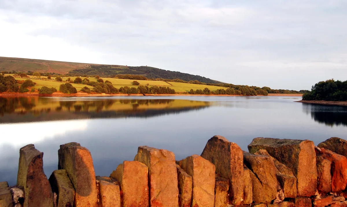 Flagship📷 5
Reservoirs & lochs · North West England
Yarrow Reservoir
Yarrow Reservoir — reservoir in Lancashire, England, UK.
.jpg?width=1200) 📷 3
📷 3Reservoirs & lochs · North West England
Abbey Village Reservoir
Abbey Village Reservoir — reservoir in Lancashire, England, UK.
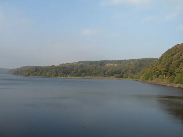 📷 3
📷 3Reservoirs & lochs · North West England
Anglezarke Reservoir
Anglezarke Reservoir — reservoir in Lancashire, England, UK.
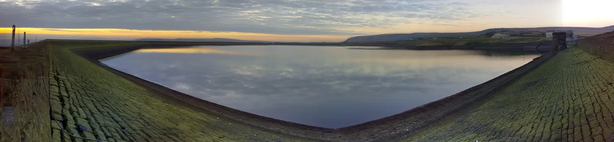 📷 3
📷 3Reservoirs & lochs · North West England
Ashworth Moor Reservoir
Ashworth Moor Reservoir — reservoir in Greater Manchester, England, UK.
Frequently asked questions
- Where is Hollingworth Lake?
- Hollingworth Lake is in North-West England, United Kingdom (postcode OL15 0DN), in the parish of Rochdale, unparished area.
- What is Hollingworth Lake?
- Hollingworth Lake — lake in the United Kingdom.
- How do I get to Hollingworth Lake?
- The nearest railway station is Smithy Bridge, about 1.2 km away. The nearest town is Calderbrook. Drivers can use postcode OL15 0DN.
- Is Hollingworth Lake a protected site?
- Yes — Hollingworth Lake is part of the Rochdale Canal SSSI Site of Special Scientific Interest and the South Pennine Moors SSSI Site of Special Scientific Interest.
- Is Hollingworth Lake free to visit?
- Yes, Hollingworth Lake is free to enter.
- How do I get to Hollingworth Lake?
- The nearest railway station is Smithy Bridge, about 1.2 km away. Drivers can navigate to postcode OL15 0DN.