Mountains & hills · South East England
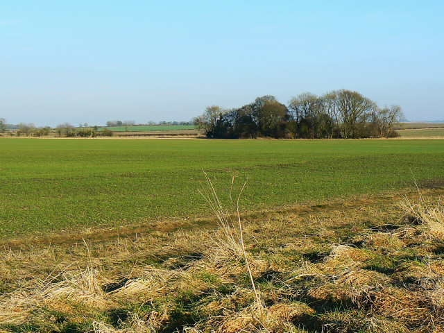
Highway Hill
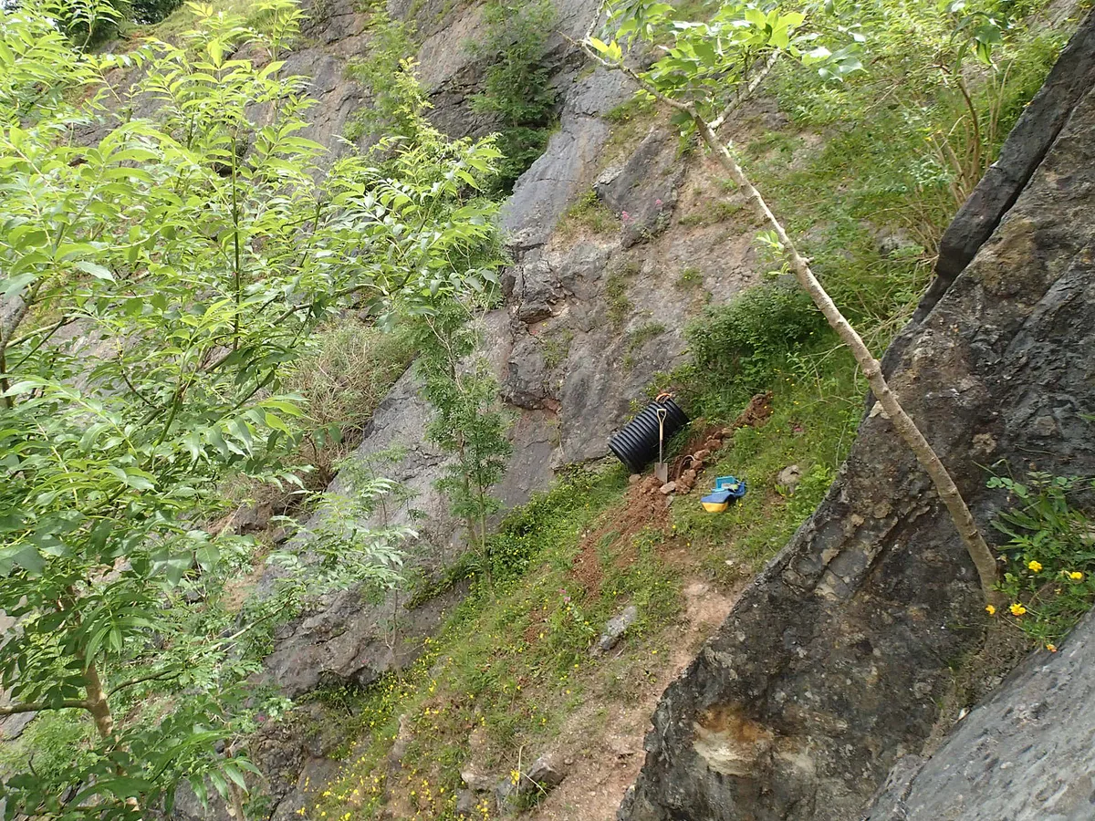
Highway Hill — mountain in england south east. Elevation: 177 m.
Brian Robert Marshall — CC BY-SA 2.0 via Wikimedia Commons licence
Plan your visit
- Typical visit
- 3 h–8 h
- Best time of year
- Late spring – early autumn (May–Oct)
About
Highway Hill is a mountain located in england south east. Elevation: 177 m. A named British peak recorded in OpenStreetMap. Peaks are typically named on Ordnance Survey 1:50k mapping.
Photo gallery
Place summary
Highway Hill is a mountain located in South-East England. It is characterised by its elevated terrain and scenic views of the surrounding landscape. The area is suitable for outdoor activities such as hiking and nature walks, attracting visitors who appreciate natural settings. The hill provides an opportunity to explore the region's geography and enjoy the local flora and fauna.
AI-generated from the structured facts on this page (operator, designation, listing, era). Not a substitute for visiting.
- Coordinates
- 51.4666, -1.9303
Sources
- osm: n11218032365 (ODbL)
Other places nearby
Loading nearby places…
Nearby
 📷 5
📷 5Villages · South East England
Highway
Highway — a village in england south east.
 📷 5
📷 5Mountains & hills · South East England
Clevancy Hill
Clevancy Hill — mountain in england south east. Elevation: 191 m.
 📷 5
📷 5Mountains & hills · South East England
Compton Hill
Compton Hill — mountain in england south east. Elevation: 178 m.
 📷 3
📷 3Manor houses · South East England
Corton Manor
Corton Manor — Grade II listed building-listed manor in england-south-east, United Kingdom.
 📷 3
📷 3Archaeological sites · South East England
Bupton
Bupton — a archaeological in england-south-east, United Kingdom.
📷 5Mountains & hills · South East England
Bupton Hill
Bupton Hill — mountain in england south east. Elevation: 195 m.
Where to eat & stay near Highway Hill
Places to stay
 📷 5
📷 5Hotels · South East England
Lansdowne Strand Hotel
Lansdowne Strand Hotel — a hotel in england south east.
 📷 5
📷 5Campsites · South East England
Escape To The Fields
Escape To The Fields — a campsite in england south east.
 📷 5
📷 5B&Bs · South East England
The Lodge
The Lodge — a bed-and-breakfast in england south east.
 📷 5
📷 5Hotels · South East England
The Angel Hotel
The Angel Hotel — a hotel in england south east.
 📷 5
📷 5Campsites · South East England
Lower Camp
Lower Camp — a campsite in england south east.
📷 5Campsites · South East England
Chilton Farm County Guide Campsite
Chilton Farm County Guide Campsite — a campsite in england south east.
Places to eat & drink
 📷 5
📷 5Historic pubs · South West England
Bricklayers Arms Public House
Bricklayers Arms Public House in England South West, United Kingdom.
 📷 5
📷 5Historic pubs · South West England
The Talbot Public House
The Talbot Public House in England South West, United Kingdom.
 📷 5
📷 5Historic pubs · South West England
Jolly Trooper Public House
Jolly Trooper Public House in England South West, United Kingdom.
 📷 5
📷 5Cafés · South East England
Town Hall Tea Rooms
Town Hall Tea Rooms — a café in england south east.
_(geograph_6422891).jpg?width=1200) 📷 5
📷 5Historic pubs · South East England
The White Hart
The White Hart — Historic pub — listed building or notable heritage status.
 📷 5
📷 5Historic pubs · South West England
The Pack Horse And Attached Stable Block
The Pack Horse And Attached Stable Block in England South West, United Kingdom.
More mountains in this region
 📷 5
📷 5Mountains & hills · South East England
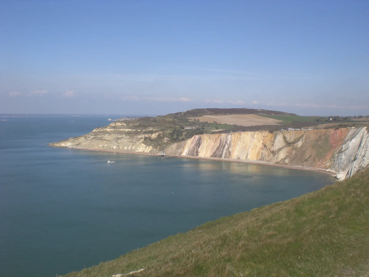
Alum Bay
Alum Bay is a mountain or hill in the United Kingdom.
 📷 5
📷 5Mountains & hills · South East England
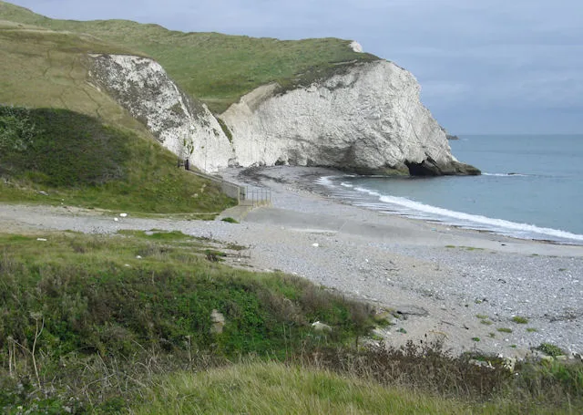
Arish Mell
Arish Mell — bay in Dorset, England.
 📷 5
📷 5Mountains & hills · South East England
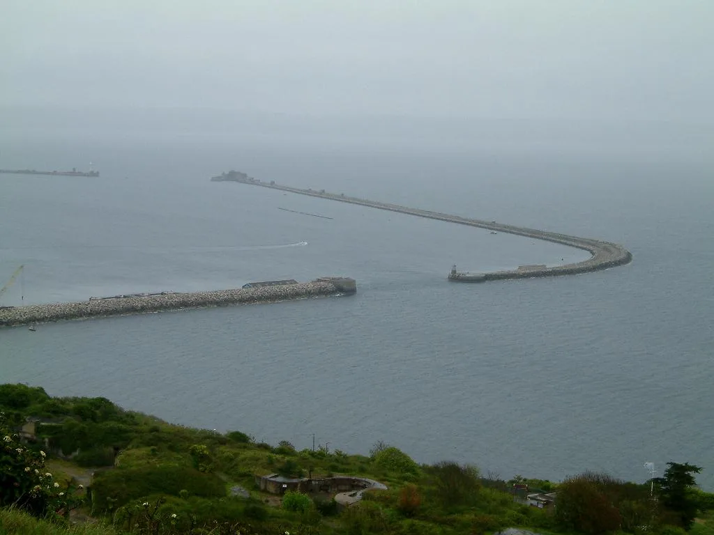
Balaclava Bay
Balaclava Bay — bay in Dorset, England.
 📷 5
📷 5Mountains & hills · South East England
Balch Cave
Balch Cave — Cave in Somerset, England.
Frequently asked questions
- Where is Highway Hill?
- Highway Hill is in South-East England, United Kingdom.
- What is Highway Hill?
- Highway Hill — mountain in england south east. Elevation: 177 m.
- How do I get to Highway Hill?
- Its coordinates are 51.4666°, -1.9303°.