Mountains & hills · North West England
High Raise
In or near Patterdale.
High Raise — Named summit at 803.6 m.

Wikimedia Commons contributors — see linked file page for photographer and licence licence
Plan your visit
- Typical visit
- 3 h–8 h
- Best time of year
- Late spring – early autumn (May–Oct)
- Free entry
- Dog-friendly
About
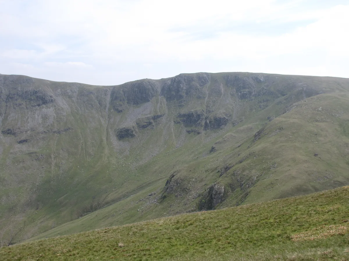
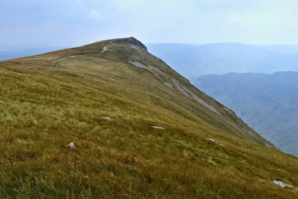
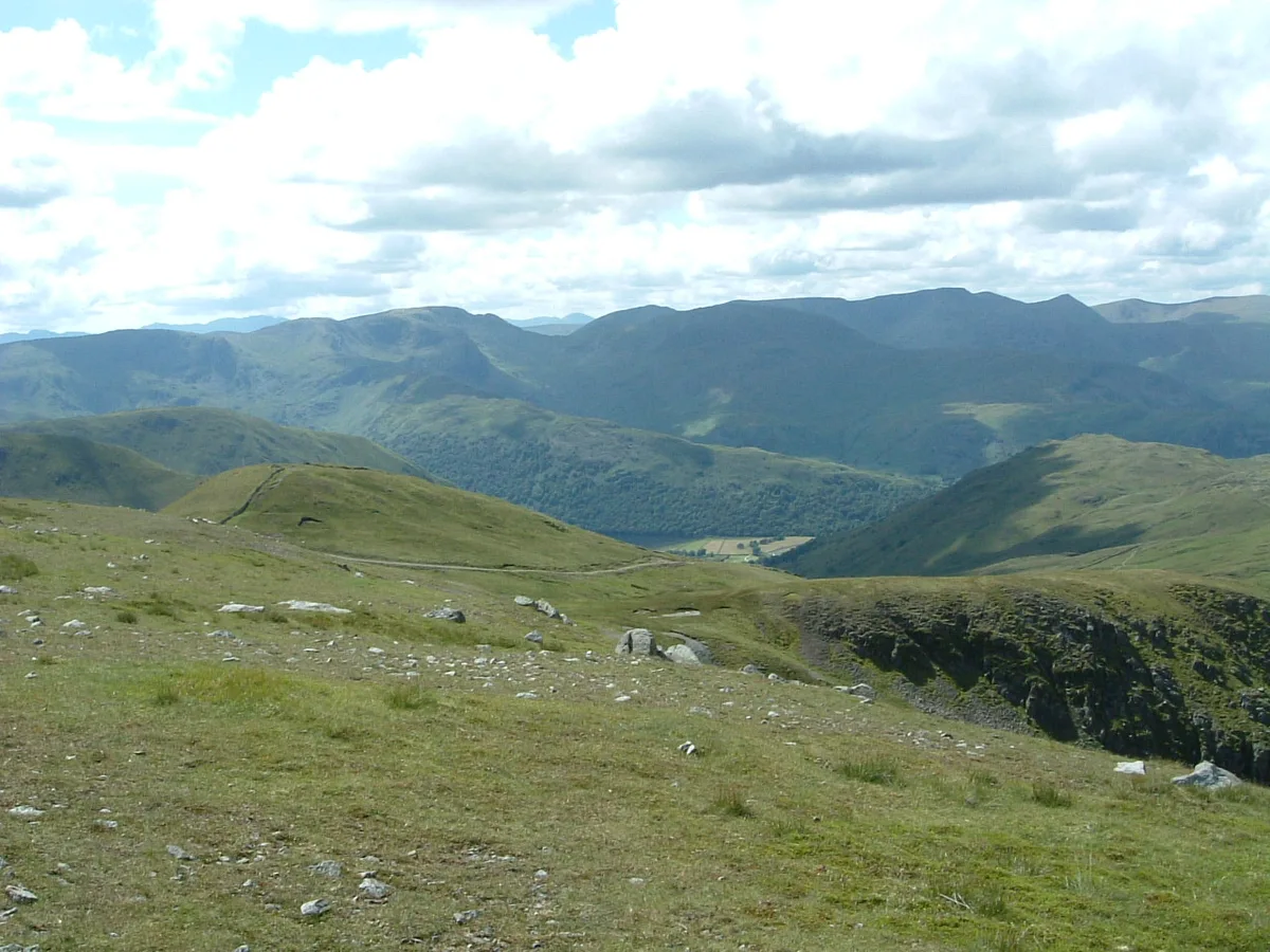
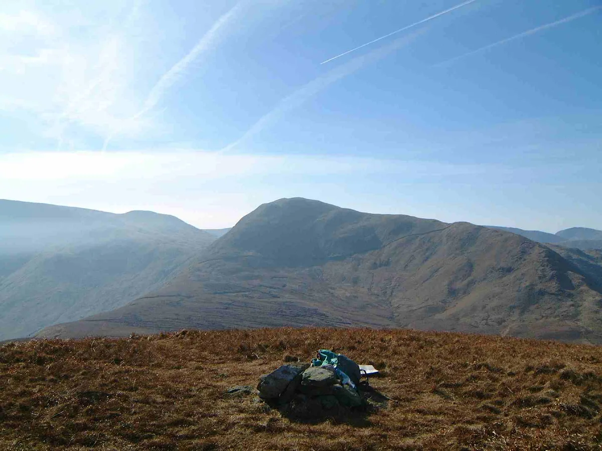
High Raise is a named summit in the United Kingdom. Wikidata describes it as: "Named summit at 803.6 m.". Coordinates: 54.5134°, -2.8538°.
Photo gallery
Protected designations
- Site of Special Scientific Interest: River Eden and Tributaries SSSI
Designations sourced from Natural England open data under OGL v3.
From the Wikipedia article
High Raise is a fell in the English Lake District, standing to the west of Haweswater Reservoir in the Far Eastern Fells. Note that another High Raise is the highpoint of the Central Fells.
Excerpt from Wikipedia under CC BY-SA 4.0. See the source article linked in Sources below.
- Coordinates
- 54.5134, -2.8538
- Address
- Cumbria, England
Sources
- osm: n671492526 (ODbL)
- wikipedia: High Raise (High Street) (CC BY-SA 4.0)
- commons: High Raise from Rampsgill Head.JPG (CC BY-SA 4.0)
Other places nearby

High Raise (High Street)
Mountains & hills · 0.0 km
Rampsgill Head (summit)
Mountains & hills · 0.8 km

Rampsgill Head
Natural landmarks · 0.8 km
Kidsty Pike
Natural landmarks · 0.9 km

Low Raise
Mountains & hills · 0.9 km

Kidsty Pike
Mountains & hills · 0.9 km

Rampsgill Head
Mountains & hills · 0.9 km

Raven Howe
Mountains & hills · 1.0 km
The Knott
Mountains & hills · 1.3 km

The Knott
Natural landmarks · 1.4 km
Rest Dodd
Mountains & hills · 1.6 km

Rest Dodd
Natural landmarks · 1.6 km
Nearby
📷 5Mountains & hills · North West England
High Raise (High Street)
High Raise (High Street) — a hill or mountain in england north east.
📷 3Mountains & hills · North West England
Rampsgill Head (summit)
Rampsgill Head (summit) — Named summit at 792.4 m.
📷 3Natural landmarks · North West England
Rampsgill Head
Rampsgill Head — fell in the English Lake District.
📷 3📷 5Mountains & hills · North West England
Low Raise
Low Raise — mountain in england north east. Elevation: 754 m.
📷 3Where to eat & stay near High Raise
Places to stay
 📷 5
📷 5 📷 5
📷 5Caravan parks · North West England
Hartsop Fold Holiday Lodges
Hartsop Fold Holiday Lodges — a caravan park in england north east.
 📷 5
📷 5Campsites · North West England
Sykeside Camping Site
Sykeside Camping Site — a campsite in england north west.
 📷 5
📷 5B&Bs · North West England
Greenbank Farm Bed and Breakfast
Greenbank Farm Bed and Breakfast — a bed-and-breakfast in england north east.
 📷 5
📷 5B&Bs · North West England
Deepdale Hall B&B
Deepdale Hall B&B — a bed-and-breakfast in england north east.
 📷 5
📷 5Campsites · North West England
Patterdale Youth Hostel camp site
Patterdale Youth Hostel camp site — a campsite in england north east.
Places to eat & drink
 📷 5
📷 5Historic pubs · North West England
Golden Rule Hotel
Golden Rule Hotel in England North West, United Kingdom.
 📷 7
📷 7Historic pubs · North West England
The Travellers Rest
The Travellers Rest in England North West, United Kingdom.
 📷 4
📷 4Restaurants · North West England
Holbeck Ghyll
Holbeck Ghyll is a restaurant located in Windermere, Cumbria, England. "The late 19th century building was once Lord Lonsdale's hunting lodge and only became a hotel in the 1970s. It won a Michelin st
 📷 5
📷 5Restaurants · North West England
Holbeck Ghyll Restaurant
Holbeck Ghyll Restaurant — a restaurant in england north west.
📷 5Historic pubs · North West England
Holbeck Ghyll
Holbeck Ghyll in England North West, United Kingdom.
 📷 5
📷 5Historic pubs · North West England
Horse And Farrier Inn And Stables
Horse And Farrier Inn And Stables in Scotland Lowlands, United Kingdom.
More mountains in this region
 📷 5
📷 5Mountains & hills · North West England
Appleton Park
Appleton Park — a hill or mountain in england west midlands.
 📷 5
📷 5Mountains & hills · North West England
High Warren
High Warren — mountain in england west midlands. Elevation: 105 m.
 📷 5
📷 5Mountains & hills · North West England
Alderley Edge
Alderley Edge — mountain in england west midlands. Elevation: 194 m.
 📷 3
📷 3Frequently asked questions
- Where is High Raise?
- High Raise is in North-East England, United Kingdom.
- What is High Raise?
- High Raise — Named summit at 803.6 m.
- How do I get to High Raise?
- Its coordinates are 54.5134°, -2.8538°.
- Is High Raise a protected site?
- Yes — High Raise is part of the River Eden and Tributaries SSSI Site of Special Scientific Interest.
- Is High Raise free to visit?
- Yes, High Raise is free to enter.