
Windmills · South East England
Herne Windmill
In or near Boyden Gate.
Herne Windmill is a windmill in the United Kingdom.

Wikimedia Commons contributors — see linked file page for photographer and licence licence

Plan your visit
- Typical visit
- 30 min–1 h
- Nearest railway station
- Herne Bay · 1.6 km
- Free entry
- Family-friendly
- Dog-friendly
Getting there & planning your visit
To visit Herne Windmill, the nearest railway station is Herne Bay, located 1.6 km away. The postcode for sat-nav is CT6 7FA, and entry to the windmill is free.
About
Herne Windmill is a named windmill in the United Kingdom. Coordinates: 51.3554°, 1.1369°. This entry is part of The Great Britain Guide, a free, ad-free, open-data tourist directory.
Photo gallery
Protected designations
- Site of Special Scientific Interest: Thanet Coast SSSI
- Area of Outstanding Natural Beauty: Kent Downs
Designations sourced from Natural England open data under OGL v3.
From the Wikipedia article
Herne Windmill is a Grade I listed smock mill in Herne, Kent, England, that was built in 1789.
Excerpt from Wikipedia under CC BY-SA 4.0. See the source article linked in Sources below.
Background
History
Herne Windmill was built by John Holman in 1789 when he was working for Sweetlove, the Wingham millwright. In the 1930s, the mill was working on two sails only. Frank Wootton, the miller, sought the assistance of the Society for the Protection of Ancient Buildings (SPAB), and after Rex Wailes made a report on the mill, two sails from the Black Mill, Forncett End, Norfolk were fitted by Thomas Hunt of Soham, Cambridgeshire in 1936. A new pair of sails was constructed by Hunt, the work being made possible by support from SPAB, the Duchess of Kent and Trinity House. The latter assisted as the mill was marked as a navigational landmark for shipping. The mill worked by wind until 1952, assisted…
Description
Herne Mill has a three-storey smock on a two-storey brick base. It has four double patent sails carried on a cast-iron windshaft, housed in a Kentish-style cap. The mill is winded by a fantail. There is a stage at a level between the first and second floor. New sails were fitted in 2004. These measure 33 ft long by 5 ft wide each, with a total span of 68 ft. The work was carried out by IJP Millwrights of Binfield Heath, Berkshire.
Sourced from Wikipedia under CC BY-SA 4.0.
- Coordinates
- 51.3554, 1.1369
- County
- Kent
- District
- Canterbury
- Parish
- Herne and Broomfield
- Postcode
- CT6 7FA
- Parliamentary constituency
- Herne Bay and Sandwich
- Established
- 1789
- Nearest railway station
- Herne Bay — 1.6 km
Sources
- osm: n28479548 (ODbL)
- wikipedia: Herne Windmill (CC BY-SA 4.0)
- commons: Herne windmill.jpg (CC BY-SA 4.0)
Other places nearby

Theatre in the Park
Theatres · 0.7 km

Herne
Villages · 0.7 km

Herne, Kent
Museums · 0.7 km

Underdown House
Historic houses · 0.8 km

Three Birds Looking
Public art & sculpture · 0.8 km

Pilot Officer Albert Friday 30 Aug 1942
Memorials & monuments · 1.1 km
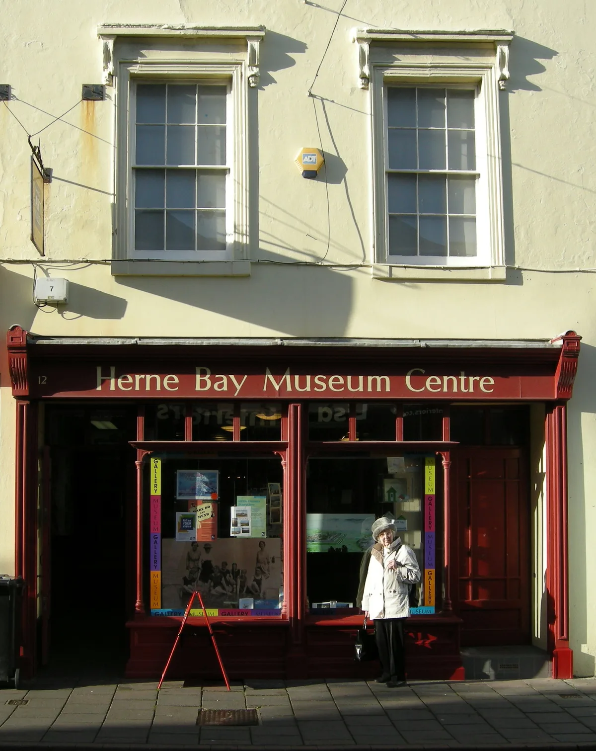
The Seaside Museum Herne Bay
Galleries · 1.7 km

Herne Bay
Historic churches · 1.7 km

Beach Creative
Galleries · 1.8 km

Bay Art Gallery
Galleries · 1.8 km
Kavanagh Cinema
Theatres · 1.8 km
One New Street
Galleries · 1.8 km
Nearby
📷 5Theatres · South East England
Theatre in the Park
Theatre in the Park is a theatre in the United Kingdom.
📷 5📷 5Museums · South East England
Herne, Kent
Herne, Kent — a museum in england-south-east, United Kingdom.
📷 5Historic houses · South East England
Underdown House
Underdown House — 17th-18th-century house in Eddington, Kent, England, UK.
📷 5Public art & sculpture · South East England
Three Birds Looking
Three Birds Looking — a public art in england-south-east, United Kingdom.
📷 5Memorials & monuments · South East England
Pilot Officer Albert Friday 30 Aug 1942
Pilot Officer Albert Friday 30 Aug 1942 — a memorial in england-south-east, United Kingdom.
Where to eat & stay near Herne Windmill
Places to stay
 📷 5
📷 5 📷 5
📷 5Caravan parks · South East England
South View Caravan Park
South View Caravan Park — a caravan park in england south east.
 📷 5
📷 5Campsites · South East England
Braggs Lane Farm Camping and Caravan Site
Braggs Lane Farm Camping and Caravan Site — a campsite in england south east.
 📷 5
📷 5Campsites · South East England
Ross Wood Scout Campsite
Ross Wood Scout Campsite — a campsite in england south east.
 📷 5
📷 5 📷 5
📷 5Places to eat & drink
 📷 5
📷 5 📷 5
📷 5 📷 7
📷 7Cafés · South East England
Chapters
Chapters — a café in england south east.
 📷 6
📷 6 📷 7
📷 7Historic pubs · South East England
Ye Olde Beverlie
Ye Olde Beverlie — Historic pub — listed building or notable heritage status.
 📷 5
📷 5Restaurants · South East England
Cinnamon
Cinnamon — a restaurant in england south east.
More windmills in this region
 📷 5
📷 5Windmills · South East England
Buckland Windmill
Buckland Windmill is a windmill in the United Kingdom.
 📷 5
📷 5Windmills · South East England
Meopham Windmill
Meopham Windmill is a windmill in the United Kingdom.
 📷 5
📷 5Windmills · South East England
Mugswell Windmill
Mugswell Windmill is a windmill in the United Kingdom.
 📷 5
📷 5Windmills · South East England
Reigate Mill Church
Reigate Mill Church is a windmill in the United Kingdom.
Frequently asked questions
- Where is Herne Windmill?
- Herne Windmill is in Kent, South-East England, United Kingdom (postcode CT6 7FA), in the parish of Herne and Broomfield.
- What is Herne Windmill?
- Herne Windmill is a windmill in the United Kingdom.
- How do I get to Herne Windmill?
- The nearest railway station is Herne Bay, about 1.6 km away. The nearest town is Boyden Gate. Drivers can use postcode CT6 7FA.
- When was Herne Windmill built?
- Built or established in 1789.
- Who owns Herne Windmill?
- Herne Windmill is owned by Kent County Council.
- Is Herne Windmill a listed building?
- Herne Windmill is officially recognised as Grade I listed building listed.
- Is Herne Windmill a protected site?
- Yes — Herne Windmill is part of the Thanet Coast SSSI Site of Special Scientific Interest and the Kent Downs National Landscape (AONB).
- Is Herne Windmill free to visit?
- Yes, Herne Windmill is free to enter.