
Historic churches · South Wales
Heol Senni
In or near Ystradfellte.
Heol Senni is a hamlet in the valley of the Afon Senni just north of the Fforest Fawr section of the Brecon Beacons National Park. It lies within the community of Maescar in the county of Powys, Wal

Shaun Ferguson — CC BY-SA 2.0 via Wikimedia Commons licence

Plan your visit
- Typical visit
- 30 min–1 h
- Free entry
About
Heol Senni is a hamlet in the valley of the Afon Senni just north of the Fforest Fawr section of the Brecon Beacons National Park. It lies within the community of Maescar in the county of Powys, Wales. The Welsh name means the 'road by (the river) Senni' and reflects its position near the crossing of the river by the minor road running from the A4067 to the A4215 road. This route was, and to some extent still is, an important link between Brecon and the upper Swansea Valley (or Tawe valley). A proposal was made to dam the Afon Senni in the 1970s though local opposition to the scheme saw the plans dropped.
Photo gallery
From the Wikipedia article
Heol Senni is a hamlet in the valley of the Afon Senni just north of the Fforest Fawr section of the Brecon Beacons National Park. It lies within the community of Maescar in the county of Powys, Wales. The Welsh name means the 'road by (the river) Senni' and reflects its position near the crossing of the river by the minor road running from the A4067 to the A4215 road. This route was, and to some extent still is, an important link between Brecon and the upper Swansea Valley (or Tawe valley). A proposal was made to dam the Afon Senni in the 1970s though local opposition to the scheme saw the plans dropped.
Excerpt from Wikipedia under CC BY-SA 4.0. See the source article linked in Sources below.
- Coordinates
- 51.8988, -3.5602
- District
- Powys
- Parish
- Maescar
- Postcode
- LD3 8SU
- Parliamentary constituency
- Brecon, Radnor and Cwm Tawe
Sources
- wikipedia: Heol Senni (CC BY-SA 4.0)
Other places nearby

Ard Den y Domen
Literary houses · 1.1 km

Twyn Rhefr
Mountains & hills · 2.3 km
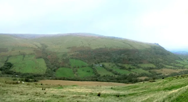
Fan Bwlch Chwyth
Mountains & hills · 2.3 km

Y Gaer
Mountains & hills · 2.9 km

Twyn-y-Gaer
Vineyards · 2.9 km
Twyn y Gaer
Mountains & hills · 2.9 km

Craig Cerrig Gleisiad a Fan Frynych National Nature Reserve
Forests & woodlands · 3.0 km

Llwynstyffilin Farm
Campsites · 3.0 km
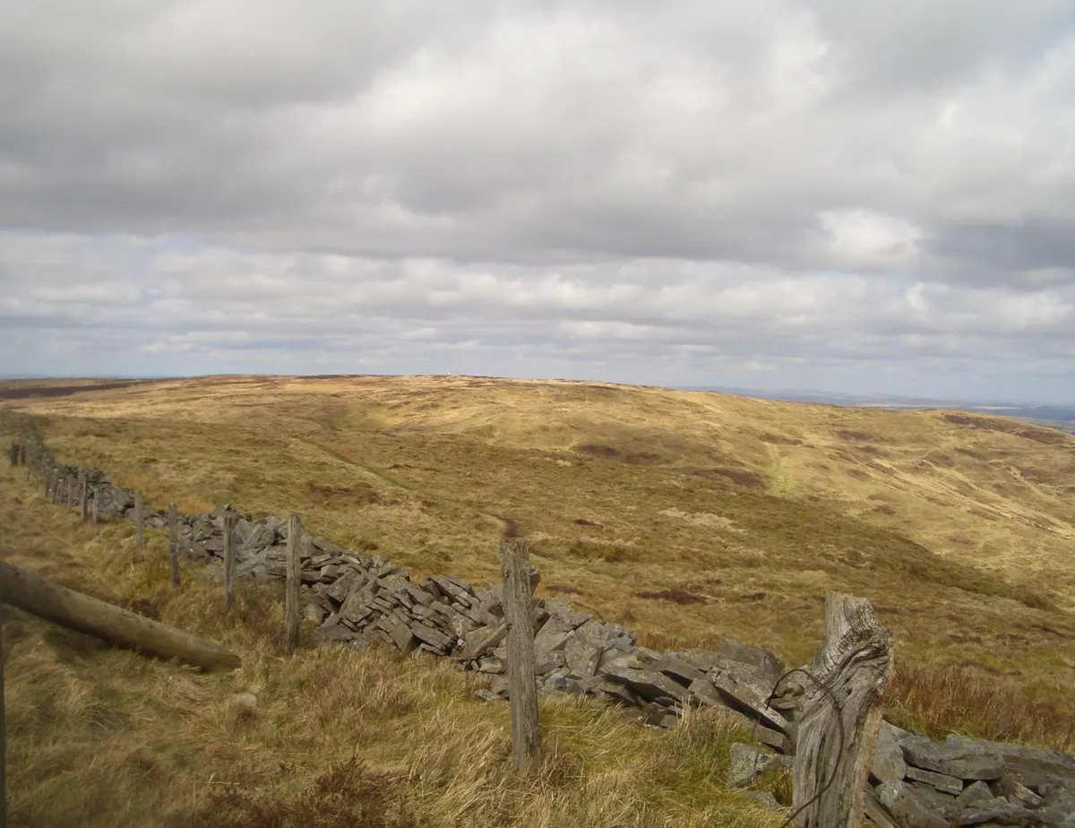
Fan Frynych
Natural landmarks · 3.1 km
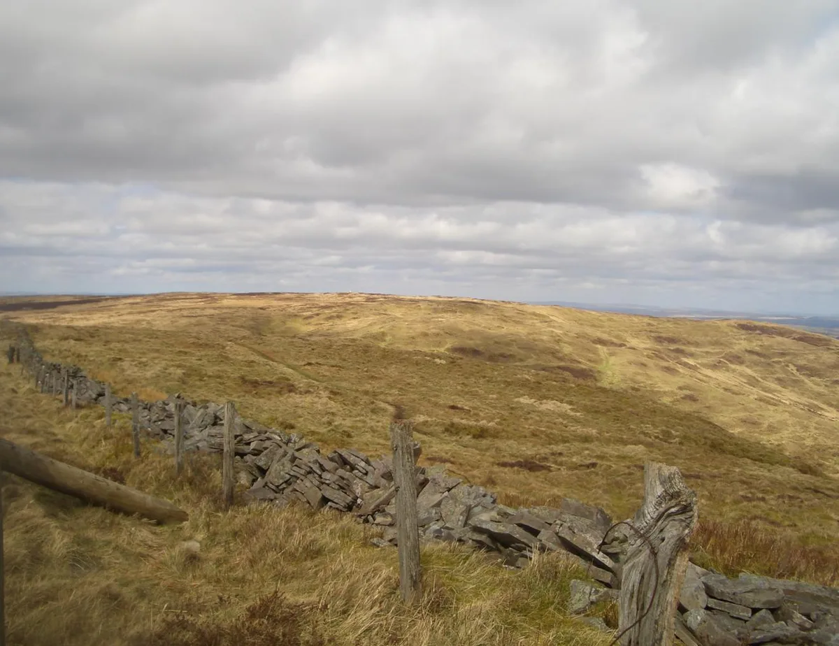
Fan Frynych
Mountains & hills · 3.1 km

Crai, Powys
Other places · 3.3 km
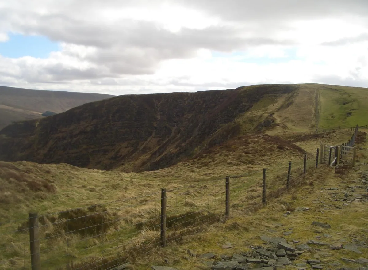
Craig Cerrig-gleisiad
Mountains & hills · 3.7 km
Nearby
📷 5Literary houses · South Wales
Ard Den y Domen
Ard Den y Domen — a literary house museum in wales south.
📷 5📷 3📷 5📷 2Vineyards · South Wales
Twyn-y-Gaer
Twyn-y-Gaer — a UK vineyard in wales south, producing English or Welsh wine from cool-climate grape varieties.
📷 5Where to eat & stay near Heol Senni
Places to stay
📷 5 📷 5
📷 5Campsites · South Wales
Brecon Beacons Wild Camping
Brecon Beacons Wild Camping — a campsite in wales south.
 📷 5
📷 5Hostels · South Wales
YHA Llwyn-y-celyn (YHA Brecon Beacons)
YHA Llwyn-y-celyn (YHA Brecon Beacons) — a hostel in wales south.
 📷 7
📷 7 📷 5
📷 5 📷 5
📷 5Caravan parks · Mid Wales
Aberbran Fawr Campsite
Aberbran Fawr Campsite — a caravan park in wales south.
Places to eat & drink
 📷 7
📷 7 📷 5
📷 5Historic pubs · South Wales
White Hart
White Hart — Historic pub — listed building or notable heritage status.
 📷 5
📷 5More places in this region
 📷 3
📷 3Historic churches · South Wales
All Saints Church, Wraxall
All Saints Church, Wraxall — church in Wraxall, North Somerset, England, UK.
 📷 4
📷 4Historic churches · South Wales
All Saints' Church
All Saints' Church — church in Oystermouth, Swansea, Wales.
 📷 3
📷 3Historic churches · South Wales
Bethania Presbyterian Church
Bethania Presbyterian Church — Calvinistic Methodist chapel in Aberdare.
 📷 3
📷 3Historic churches · South Wales
Bethel, Abernant
Bethel, Abernant — church in Rhondda Cynon Taf, UK.
Frequently asked questions
- Where is Heol Senni?
- Heol Senni is in South Wales, United Kingdom (postcode LD3 8SU), in the parish of Maescar.
- What is Heol Senni?
- Heol Senni is a hamlet in the valley of the Afon Senni just north of the Fforest Fawr section of the Brecon Beacons National Park. It lies within the community of Maescar in the county of Powys, Wal
- How do I get to Heol Senni?
- Drivers can use postcode LD3 8SU.
- Is Heol Senni free to visit?
- Yes, Heol Senni is free to enter.
- How do I get to Heol Senni?
- Drivers can navigate to postcode LD3 8SU. It sits within the Brecon, Radnor and Cwm Tawe parliamentary constituency.