Natural landmarks · Scottish Islands
Hebridean Way
In or near Balivanich.
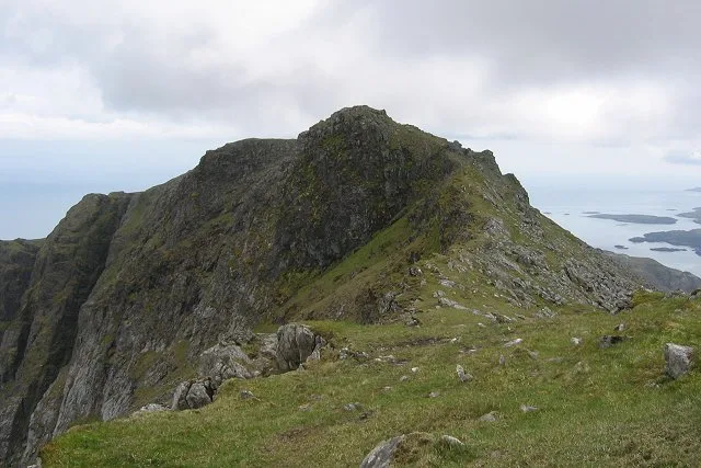
156-mile cycle/walk route the full length of the Outer Hebrides — 10 islands.

Richard Park — CC BY-SA 2.0 via Wikimedia Commons licence
Plan your visit
- Typical visit
- 1 h–2 h
- Free entry
- Dog-friendly
Getting there & planning your visit
The Hebridean Way is located in the Scottish Islands at latitude 57.5 and longitude -7.3. There is no nearest railway station or postcode provided, and entry is free. Accessibility information is not specified.
About
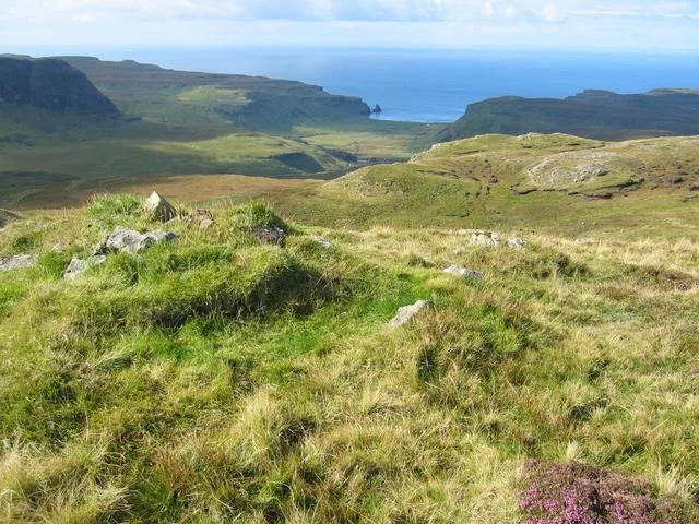
The Hebridean Way (2017) is a 156-mile cycle route and 156-mile walking route running the length of the Outer Hebrides — from Vatersay in the south to the Butt of Lewis in the north, crossing 10 islands by ferry and causeway. Britain's most island-studded long-distance route.
Photo gallery
Place summary
The Hebridean Way is a long-distance walking route located across the Scottish Islands. This modern trail spans approximately 200 kilometres, linking the islands of Barra and Lewis, showcasing the diverse landscapes and natural beauty of the Outer Hebrides.
AI-generated from the structured facts on this page (operator, designation, listing, era). Not a substitute for visiting.
- Coordinates
- 57.5000, -7.3000
Sources
- manual: hebridean-way (manual)
- wikipedia: Hebridean Way (CC BY-SA 4.0)
Other places nearby

Eilean Leathann
Islands · 1.7 km

Bail' Iochdrach
Other places · 1.8 km

bunkhouse
Hostels · 2.0 km
Moorcroft Campsite and Bunkhouse
Campsites · 2.1 km

Baile Glas
Other places · 2.1 km

Eilean a' Ghiorr
Islands · 2.1 km

Carinish
Stone circles · 2.3 km

Gramisdale
Villages · 2.5 km

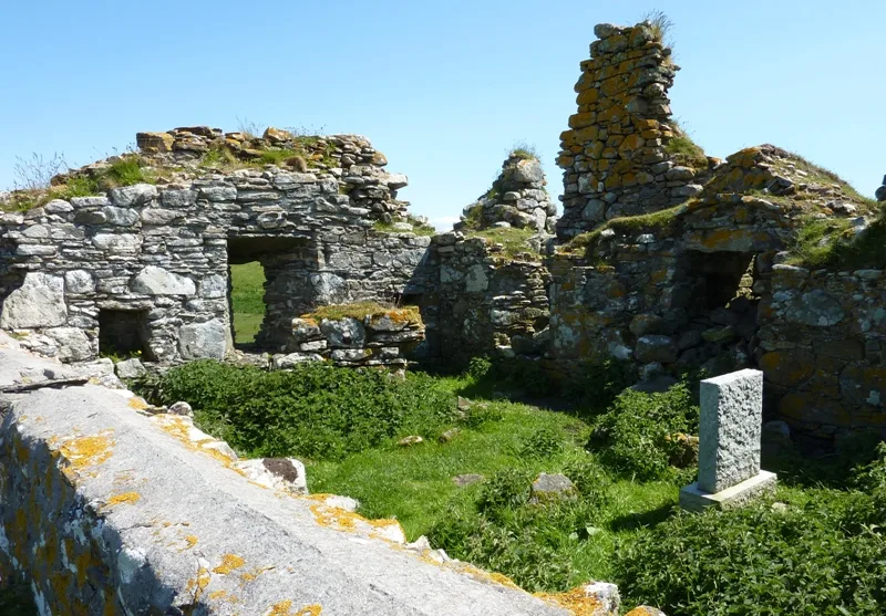
Teampall na Trianaid
Natural landmarks · 2.6 km
Teampull na Trionaid
Historic churches · 2.6 km

Carinish Parish Church, North Uist
Historic churches · 2.6 km

Caravat Barp
Archaeological sites · 2.6 km
Nearby
📷 3Islands · Scottish Islands
Eilean Leathann
Eilean Leathann — island of the Uist islands, Outer Hebrides, Scotland.
📷 5📷 5📷 5Campsites · Scottish Islands
Moorcroft Campsite and Bunkhouse
Moorcroft Campsite and Bunkhouse — a campsite in scotland highlands.
📷 5📷 4Islands · Scottish Islands
Eilean a' Ghiorr
Eilean a' Ghiorr — island of the Outer Hebrides, Scotland.
Where to eat & stay near Hebridean Way
Places to stay
📷 5📷 5Campsites · Scottish Islands
Moorcroft Campsite and Bunkhouse
Moorcroft Campsite and Bunkhouse — a campsite in scotland highlands.
 📷 5
📷 5Campsites · Scottish Islands
The Creel Yard Camp site and Bunk Houses
The Creel Yard Camp site and Bunk Houses — a campsite in scotland highlands.
 📷 5
📷 5Hostels · Scottish Islands
Ostail Bhaile nan Cailleach
Ostail Bhaile nan Cailleach — a hostel in scotland highlands.
 📷 5
📷 5Campsites · Scottish Islands
Shellbay Caravan & Camping Park
Shellbay Caravan & Camping Park — a campsite in scotland highlands.
 📷 3
📷 3Hostels · Scottish Islands
The Tractor Shed - Camping Pods and Bunkhouse
The Tractor Shed - Camping Pods and Bunkhouse — a hostel in scotland highlands.
Places to eat & drink
 📷 5
📷 5Other natural landmarks from this era
_(cropped).JPG?width=1200) 📷 5
📷 5Natural landmarks · London
George Stuart White
George Stuart White — Public artwork (statue).
 📷 5
📷 5 📷 5
📷 5Natural landmarks · London
John Keats
John Keats — Public artwork (statue) by Stuart Williamson.
 📷 5
📷 5More natural landmarks in this region
 📷 3
📷 3Natural landmarks · Scottish Islands
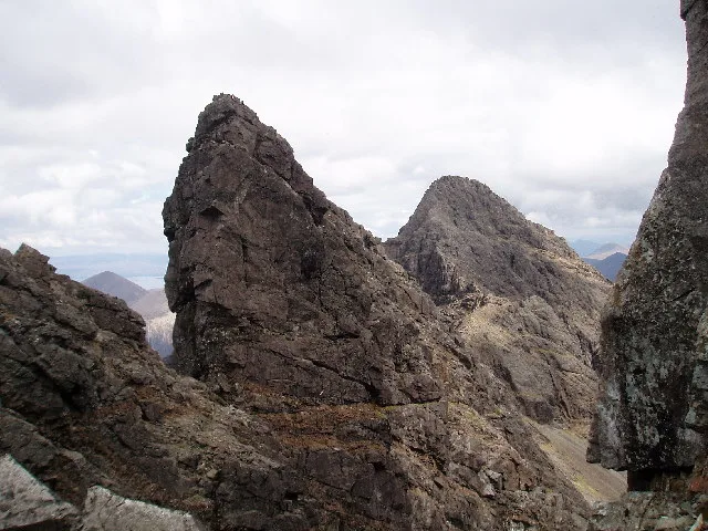
Am Basteir
Am Basteir — 934m high mountain in Highland, Scotland, UK.
 📷 3
📷 3Natural landmarks · Scottish Islands
Arnaval
Arnaval — mountain on the Isle of Skye, in Highland, Scotland, UK.
 📷 5
📷 5Natural landmarks · Scottish Islands
Askival
Askival — 812m high mountain in Highland, Scotland, UK.
 📷 5
📷 5Natural landmarks · Scottish Islands
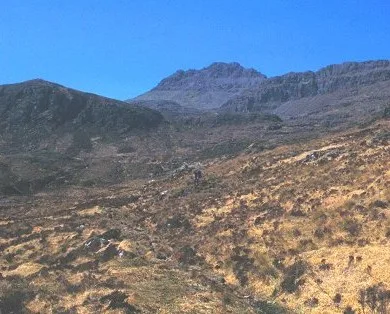
Beinn Mhòr
Beinn Mhòr — 620m high mountain on South Uist, Outer Hebrides, Scotland, UK.
Frequently asked questions
- Where is Hebridean Way?
- Hebridean Way is in the Scottish Islands, United Kingdom.
- What is Hebridean Way?
- 156-mile cycle/walk route the full length of the Outer Hebrides — 10 islands.
- How do I get to Hebridean Way?
- Its coordinates are 57.5000°, -7.3000°.
- When was Hebridean Way built?
- Dates from the modern period.
- Is Hebridean Way free to visit?
- Yes, Hebridean Way is free to enter.