
Archaeological sites · South West England
Hazleton long barrows, north and south
In or near Compton Abdale.
Hazleton long barrows, north and south — long barrows in Hazleton, Gloucestershire, England, UK.

Wikimedia Commons licence
Plan your visit
- Typical visit
- 45 min–1.5 h
- Free entry
- Dog-friendly
About
Hazleton long barrows, north and south is an archaeological site in the United Kingdom. Heritage designation: scheduled monument. Wikidata describes it as: "long barrows in Hazleton, Gloucestershire, England, UK". Coordinates: 51.8683°, -1.8964°.
Photo gallery
Protected designations
- Area of Outstanding Natural Beauty: Cotswolds
Designations sourced from Natural England open data under OGL v3.
From the Wikipedia article
Hazleton long barrows are a pair of Neolithic chambered tombs located close to Hazleton village in Gloucestershire, England. Part of the Cotswold-Severn group of long barrows, the barrows, Hazleton North and Hazleton South, date back to approximately 3700-3600 BCE. Hazleton North is deemed a notable archaeological site owing to its well-preserved structure that allowed researchers to gain insight into early farming communities during prehistoric British society. Hazleton North underwent a major and total archaeological excavation between 1979 and 1982. Results of the excavation offered direct evidence of kinship-based burial practices, revealing one of the earliest-known family trees from DNA analysis. Comprehensive research into the barrow's construction, deconstruction and inner burial chamber provided valuable information on Neolithic burial culture and social organisation in prehistoric Britain.
Excerpt from Wikipedia under CC BY-SA 4.0. See the source article linked in Sources below.
Background
Description
]] Hazleton long barrows consist of two separate cairns: Hazleton North Cairn and Hazleton South Cairn. Both cairns are located north of Hazleton village, approximately 250 metres above Ordnance Datum. The bedrock is fine-grained limestone of the Great Oolite Group, dating from the Middle Jurassic. Analysis of samples from the buried land surface on which Hazleton North was constructed showed that it was built in an abandoned arable area where large trees such as beech and oak were scarce. To acquire stone for constructing the cairn, two quarries were used adjacent to the tomb, one to the west and the other to the east. Unlike Hazleton North Cairn that had been fully excavated by the end of…
Sourced from Wikipedia under CC BY-SA 4.0.
- Coordinates
- 51.8683, -1.8964
- County
- Gloucestershire
- District
- Cotswold
- Parish
- Hazleton
- Postcode
- GL54 4EB
- Parliamentary constituency
- North Cotswolds
Sources
- wikidata: Q17649106 (CC0)
- wikipedia: Hazleton long barrows (CC BY-SA 4.0)
Other places nearby

Hazleton long barrows
Archaeological sites · 0.0 km

Salperton Camp
Archaeological sites · 0.8 km

Salperton Camp
Archaeological sites · 0.8 km

Six Unidentified Monuments In The Churchyard Of The Church Of St Andrew 4 To 8 Metres West Of Tower
Memorials & monuments · 1.0 km

Pen Hill
Mountains & hills · 1.1 km

Unidentified Monument In The Churchyard Of The Church Of All Saints Circa 8 Metres North Of Nave
Memorials & monuments · 1.1 km

Salperton
Villages · 1.7 km

Hampen Railway Cutting
Forests & woodlands · 1.8 km
Hampen Railway Cutting
Forests & woodlands · 1.9 km
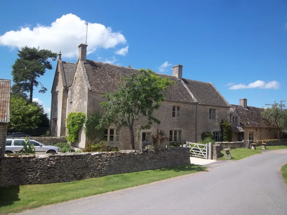
Hampen Manor
Stately homes · 2.0 km

Notgrove Railway Cutting
Forests & woodlands · 2.3 km
Notgrove Railway Cutting
Forests & woodlands · 2.5 km
Nearby
📷 3Archaeological sites · South West England
Hazleton long barrows
Hazleton long barrows — an archaeological site in South West England, United Kingdom.
📷 3Archaeological sites · South West England
Salperton Camp
Salperton Camp — an archaeological site in South West England, United Kingdom.
📷 5Archaeological sites · South West England
Salperton Camp
Salperton Camp — archaeological in england west midlands.
📷 3Memorials & monuments · South West England
Six Unidentified Monuments In The Churchyard Of The Church Of St Andrew 4 To 8 Metres West Of Tower
Six Unidentified Monuments In The Churchyard Of The Church Of St Andrew 4 To 8 Metres West Of Tower — Grade II listed building-listed memorial in england-west-midlands, United Kingdom.
📷 5Mountains & hills · South West England
Pen Hill
Pen Hill — mountain in england west midlands. Elevation: 270 m.
📷 3Memorials & monuments · South West England
Unidentified Monument In The Churchyard Of The Church Of All Saints Circa 8 Metres North Of Nave
Unidentified Monument In The Churchyard Of The Church Of All Saints Circa 8 Metres North Of Nave — Grade II listed building-listed memorial in england-west-midlands, United Kingdom.
Where to eat & stay near Hazleton long barrows, north and south
Places to stay
 📷 5
📷 5Campsites · South East England
Folly Farm Camping
Folly Farm Camping — a campsite in england west midlands.
 📷 5
📷 5Campsites · South West England
Far Peak Camping
Far Peak Camping — a campsite in england west midlands.
 📷 5
📷 5Campsites · South East England
Field Barn Park
Field Barn Park — a campsite in england west midlands.
 📷 5
📷 5Caravan parks · South West England
Denfurlong Farm
Denfurlong Farm — a caravan park in england west midlands.
 📷 5📷 5
Places to eat & drink
 📷 5
📷 5Historic pubs · South West England
The Frogmill
The Frogmill — Historic pub — listed building or notable heritage status.
 📷 5
📷 5Historic pubs · South West England
The Royal Oak
The Royal Oak — Historic pub — listed building or notable heritage status.
 📷 5
📷 5.jpg?width=1200) 📷 3
📷 3Historic pubs · South West England
The 7 Tuns
The 7 Tuns — Historic pub — listed building or notable heritage status.
 📷 7
📷 7Historic pubs · South West England
Fossebridge Inn
Fossebridge Inn in England South East, United Kingdom.
 📷 7
📷 7Historic pubs · South West England
Colesbourne Inn
Colesbourne Inn in England South East, United Kingdom.
More archaeological sites in this region
 📷 5
📷 5Archaeological sites · South West England
Battlesbury Camp Monuments: hillfort, settlement, cemetery, barrows, enclosure, and field systems
Battlesbury Camp Monuments: hillfort, settlement, cemetery, barrows, enclosure, and field systems — archaeological site in Warminster, Wiltshire, England, UK.
 📷 5
📷 5Archaeological sites · South West England
Blandford Forest
Blandford Forest — forest in Blandford Forum, England.
 📷 5
📷 5Archaeological sites · South West England
Boulsbury Wood
Boulsbury Wood — protected area in Dorset and Hampshire, England.
.jpg?width=1200) 📷 5
📷 5Archaeological sites · South West England
Cranborne Chase
Cranborne Chase — Plateau in southern England.
Frequently asked questions
- Where is Hazleton long barrows, north and south?
- Hazleton long barrows, north and south is in Gloucestershire, South-West England, United Kingdom (postcode GL54 4EB), in the parish of Hazleton.
- What is Hazleton long barrows, north and south?
- Hazleton long barrows, north and south — long barrows in Hazleton, Gloucestershire, England, UK.
- How do I get to Hazleton long barrows, north and south?
- The nearest town is Compton Abdale. Drivers can use postcode GL54 4EB.
- Is Hazleton long barrows, north and south a listed building?
- Hazleton long barrows, north and south is officially recognised as scheduled monument listed.
- Is Hazleton long barrows, north and south a protected site?
- Yes — Hazleton long barrows, north and south is part of the Cotswolds National Landscape (AONB).
- Is Hazleton long barrows, north and south free to visit?
- Yes, Hazleton long barrows, north and south is free to enter.
- How do I get to Hazleton long barrows, north and south?
- Drivers can navigate to postcode GL54 4EB. It sits within the North Cotswolds parliamentary constituency.