Forests & woodlands · West Midlands
Notgrove Railway Cutting
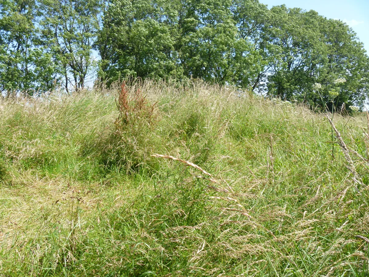
Notgrove Railway Cutting is a forest or woodland in the United Kingdom.

Wikimedia Commons contributors — see linked file page for photographer and licence licence
Plan your visit
- Typical visit
- 1 h–3 h
- Free entry
- Family-friendly
- Dog-friendly
About
Notgrove Railway Cutting is a named forest, woodland or nature reserve in the United Kingdom. Coordinates: 51.8863°, -1.8796°. This entry is part of The Great Britain Guide, a free, ad-free, open-data tourist directory.
Photo gallery
Protected designations
- Site of Special Scientific Interest: Notgrove Railway Cutting SSSI
- Area of Outstanding Natural Beauty: Cotswolds
Designations sourced from Natural England open data under OGL v3.
From the Wikipedia article
Notgrove Railway Cutting (grid reference SP086209) is a 1.7-hectare (4.2-acre) geological Site of Special Scientific Interest in Gloucestershire, notified in 1974. The site is listed in the 'Cotswold District' Local Plan 2001-2011 (on line) as a Key Wildlife Site (KWS) and Regionally Important Geological Site (RIGS).
Excerpt from Wikipedia under CC BY-SA 4.0. See the source article linked in Sources below.
- Coordinates
- 51.8863, -1.8796
- County
- Gloucestershire
- District
- Cotswold
- Parish
- Hazleton
- Postcode
- GL54 4EF
- Parliamentary constituency
- North Cotswolds
Sources
- osm: w904576668 (ODbL)
- wikipedia: Notgrove Railway Cutting (CC BY-SA 4.0)
- commons: Railway Bridge over Notgrove Railway Cutting - geograph.org.uk - 172477.jpg (CC BY-SA 4.0)
Other places nearby
Loading nearby places…
Nearby
📷 3Forests & woodlands · West Midlands
Notgrove Railway Cutting
Notgrove Railway Cutting is a forest or woodland in the United Kingdom.
 📷 3
📷 3Memorials & monuments · West Midlands
Unidentified Monument In The Churchyard Of The Church Of All Saints Circa 8 Metres North Of Nave
Unidentified Monument In The Churchyard Of The Church Of All Saints Circa 8 Metres North Of Nave — Grade II listed building-listed memorial in england-west-midlands, United Kingdom.
 📷 3
📷 3Hill forts · West Midlands
Notgrove Long Barrow
Notgrove Long Barrow — archaeological site in Notgrove, Cotswold, England, UK.
 📷 3
📷 3Archaeological sites · West Midlands
Hawling Downs round barrows
Hawling Downs round barrows — a archaeological in england-west-midlands, United Kingdom.
 📷 3
📷 3Forests & woodlands · West Midlands
Hampen Railway Cutting
Hampen Railway Cutting is a forest or woodland in the United Kingdom.
 📷 3
📷 3Archaeological sites · West Midlands
Salperton Camp
Salperton Camp — a archaeological in england-west-midlands, United Kingdom.
More forests in this region
 📷 3
📷 3Forests & woodlands · West Midlands
Abington Meadows Nature Reserve
Abington Meadows Nature Reserve is a forest or woodland in the United Kingdom.
_(geograph_2935627).jpg?width=1200) 📷 3
📷 3Forests & woodlands · West Midlands
Adderbury Lakes
Adderbury Lakes is a forest or woodland in the United Kingdom.
 📷 3
📷 3Forests & woodlands · West Midlands
Alcott Wood
Alcott Wood is a forest or woodland in the United Kingdom.
 📷 3
📷 3Forests & woodlands · West Midlands
Alvecote Meadows Nature Reserve
Alvecote Meadows Nature Reserve is a forest or woodland in the United Kingdom.
Frequently asked questions
- Where is Notgrove Railway Cutting?
- Notgrove Railway Cutting is in Gloucestershire, the West Midlands, United Kingdom (postcode GL54 4EF), in the parish of Hazleton.
- Is Notgrove Railway Cutting a protected site?
- Yes — Notgrove Railway Cutting is part of the Notgrove Railway Cutting SSSI Site of Special Scientific Interest and the Cotswolds National Landscape (AONB).
- Is Notgrove Railway Cutting free to visit?
- Yes, Notgrove Railway Cutting is free to enter.
- How do I get to Notgrove Railway Cutting?
- Drivers can navigate to postcode GL54 4EF. It sits within the North Cotswolds parliamentary constituency.