
Mountains & hills · South Wales
Hatterrall Hill
Hatterrall Hill — Named summit at 531 m.

Wikimedia Commons contributors — see linked file page for photographer and licence licence

Plan your visit
- Typical visit
- 3 h–8 h
- Best time of year
- Late spring – early autumn (May–Oct)
- Free entry
- Dog-friendly
About
Hatterrall Hill is a named summit in the United Kingdom. Wikidata describes it as: "Named summit at 531 m.". Coordinates: 51.9250°, -3.0072°.
Photo gallery
Protected designations
- Site of Special Scientific Interest: Black Mountains SSSI
- Site of Special Scientific Interest: River Wye SSSI
Designations sourced from Natural England open data under OGL v3.
From the Wikipedia article
Hatterrall Hill (Welsh: Mynydd Y Gader) is a rounded peak in the Black Mountains which sits on the Wales-England border, partly in Monmouthshire, Wales and partly in Herefordshire, England. Its summit at 531m is the high point of a peaty plateau which falls away steeply on all sides. Broad ridges run to the north, the southeast and southwest. To the north the ridge (known as Hatterrall Ridge) dips to a col at around 485m elevation before rising gradually over several kilometres towards Crib y Garth / Black Hill and Hay Bluff. The ridge to the southwest ends abruptly at the sheer cliff known as the Darren below which is a considerable landslip area extending south to the hamlet of Cwmyoy with its mis-shapen church. The Welsh part of the hill falls within the Brecon Beacons National Park.
Excerpt from Wikipedia under CC BY-SA 4.0. See the source article linked in Sources below.
Background
Visiting
The upper parts of Hatterrall Hill are all designated as open country and so are freely accessible to walkers. Several public footpaths and other public rights of way give access onto the open land from the Vale of Ewyas (Llanthony Valley) to the west and from the Monnow valley to the east. The Offa's Dyke Path long distance trail runs from north to south over the hill as does the Beacons Way.
Sourced from Wikipedia under CC BY-SA 4.0.
- Coordinates
- 51.9250, -3.0072
- District
- Herefordshire, County of
- Parish
- Longtown
- Postcode
- HR2 0PA
- Parliamentary constituency
- Hereford and South Herefordshire
Sources
- osm: n1419589527 (ODbL)
- wikipedia: Hatterrall Hill (CC BY-SA 4.0)
- commons: Sheep in a field beside Welsh Hunthouse - geograph.org.uk - 276870.jpg (CC BY-SA 4.0)
Other places nearby
Loading nearby places…
Nearby
 📷 5
📷 5Historic bridges · South Wales
Bugle Bridge
Bugle Bridge — Grade II listed building-listed bridge in wales-south, United Kingdom.
 📷 3
📷 3Mills · South Wales
Clodock Mill
Clodock Mill — mill in Longtown, Herefordshire, England, UK.
 📷 5
📷 5Historic churches · South Wales
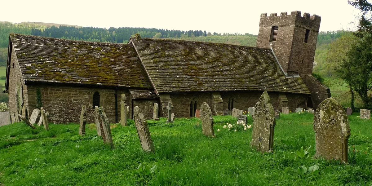
St Martin's Church
St Martin's Church — church in Cwmyoy, Monmouthshire, Wales.
 📷 3
📷 3Historic churches · South Wales
Church of St Clodock
Church of St Clodock — Grade I listed church in Clodock, Herefordshire, England, UK.
Campsites · South Wales
Sue's
Sue's — a campsite in wales south.
Campsites · South Wales
Court Farm
Court Farm — a campsite in wales south.
More mountains in this region
 Flagship📷 3
Mountains & hills · South Wales
Milford Haven Waterway
Milford Haven Waterway — ria, or flooded valley, in Pembrokeshire, south-west Wales, UK.
 📷 5
📷 5Mountains & hills · South Wales
Ogof Ffynnon Ddu
Ogof Ffynnon Ddu — cave in the Upper Swansea Valley in South Wales.
 📷 3
📷 3Mountains & hills · South Wales
Abereiddi Bay
Abereiddi Bay — bay in the United Kingdom.
 📷 3
📷 3Mountains & hills · South Wales
Allt Lwyd
Allt Lwyd — Named summit at 653 m.
Frequently asked questions
- Where is Hatterrall Hill?
- Hatterrall Hill is in South Wales, United Kingdom (postcode HR2 0PA), in the parish of Longtown.
- Is Hatterrall Hill a protected site?
- Yes — Hatterrall Hill is part of the Black Mountains SSSI Site of Special Scientific Interest and the River Wye SSSI Site of Special Scientific Interest.
- Is Hatterrall Hill free to visit?
- Yes, Hatterrall Hill is free to enter.
- How do I get to Hatterrall Hill?
- Drivers can navigate to postcode HR2 0PA. It sits within the Hereford and South Herefordshire parliamentary constituency.