
Mountains & hills · Scottish Islands
Hartaval
In or near Uig.
Hartaval — Named summit at 669 m.

Wikimedia Commons contributors — see linked file page for photographer and licence licence

Plan your visit
- Typical visit
- 3 h–8 h
- Best time of year
- Late spring – early autumn (May–Oct)
- Free entry
- Dog-friendly
About
Hartaval is a named summit in the United Kingdom. Wikidata describes it as: "Named summit at 669 m.". Coordinates: 57.5165°, -6.2116°.
Photo gallery
Official information
Hartaval is a hill located in the Trotternish Ridge on the Isle of Skye, known for its scenic views and hiking trails. Visitors can enjoy various walking routes that lead to its summit, often combined with ascents of nearby hills like The Storr.
From the Wikipedia article
Hartaval (669 m) is a hill on the Isle of Skye. It is located on the Trotternish peninsula in the north of the isle, and is the second highest peak on Trotternish ridge after The Storr. It has a fine, steep face on its eastern side that was formed by a series of landslides.
Excerpt from Wikipedia under CC BY-SA 4.0. See the source article linked in Sources below.
- Coordinates
- 57.5165, -6.2116
- Address
- Skye, Scotland
- Official site
- www.hill-bagging.co.uk
Sources
- osm: n2550878315 (ODbL)
- wikipedia: Hartaval (CC BY-SA 4.0)
- commons: Hartaval - geograph.org.uk - 957250.jpg (CC BY-SA 4.0)
Other places nearby

Sròn Dubh
Mountains & hills · 0.9 km
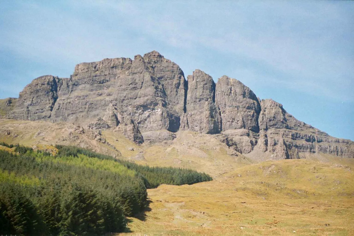
An Stòr
Mountains & hills · 2.0 km
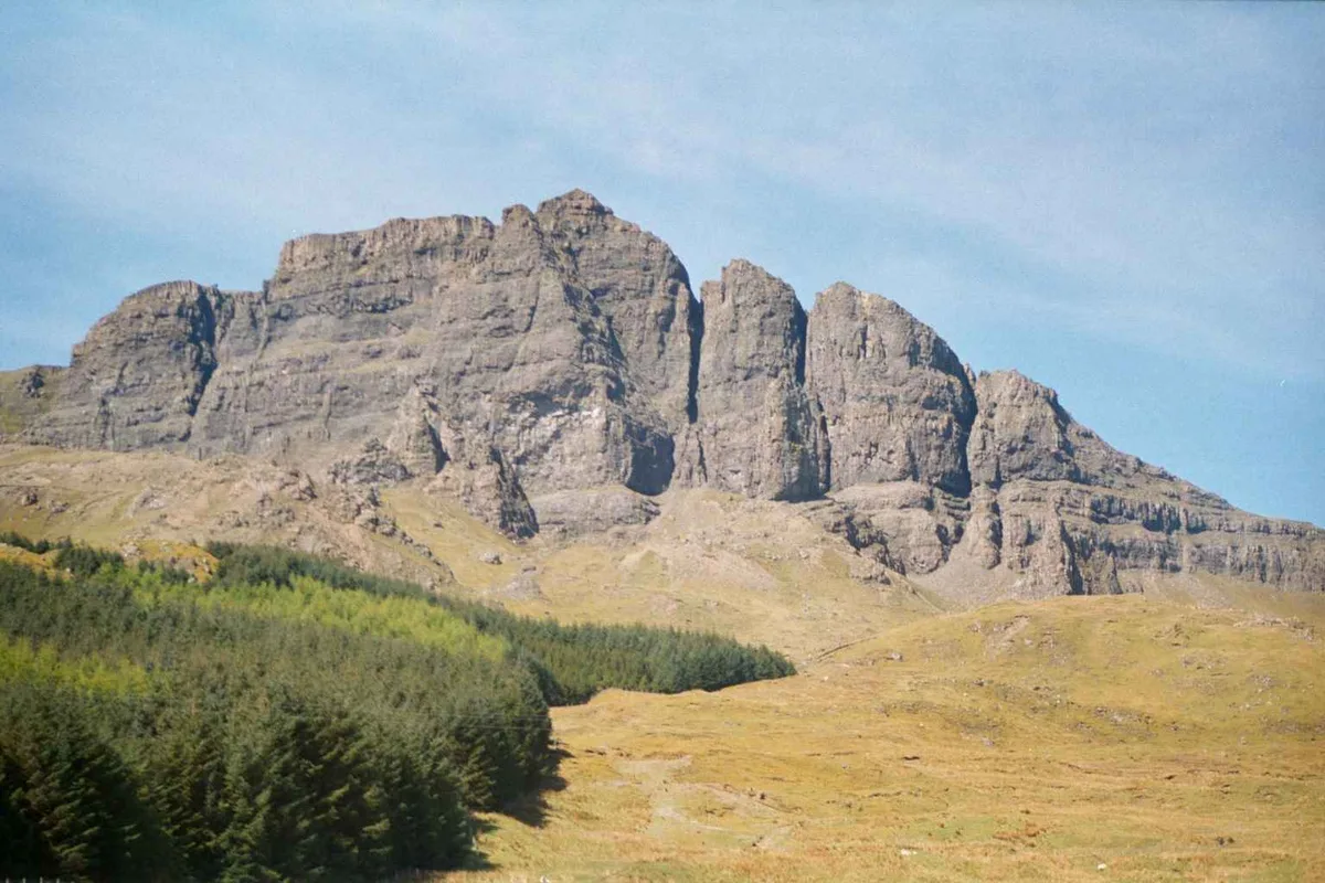
The Storr
Natural landmarks · 2.0 km

The Storr East Top
Mountains & hills · 2.1 km

Needle Rock
Mountains & hills · 2.4 km

Baca Ruadh
Mountains & hills · 2.4 km
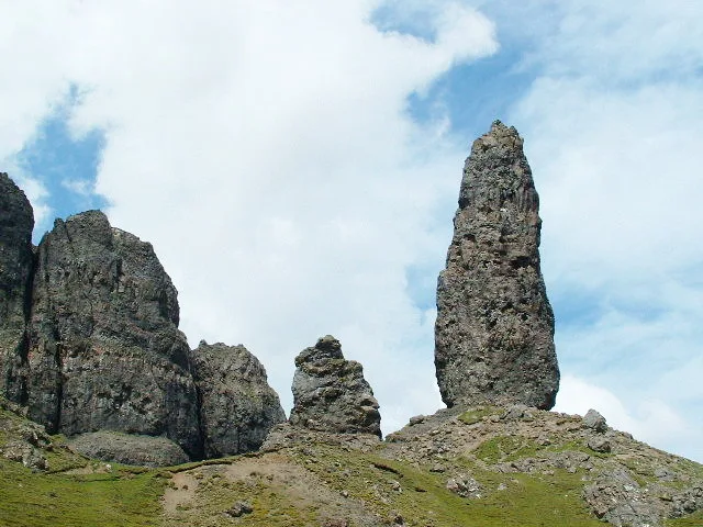
Old Man of Storr
Mountains & hills · 2.4 km

Beinn an Righ
Mountains & hills · 2.9 km
Beinn an Righ
Mountains & hills · 3.0 km

Beinn an Lochain
Mountains & hills · 3.0 km

Old Man Of Storr, dun site
Archaeological sites · 3.1 km

Sgùrr a' Mhadaidh Ruaidh
Mountains & hills · 3.3 km
Nearby
📷 5Mountains & hills · Scottish Islands
Sròn Dubh
Sròn Dubh — mountain in scotland highlands. Elevation: 563 m.
📷 5📷 5Natural landmarks · Scottish Highlands
The Storr
The Storr — 719m high mountain in Highland, Scotland, UK.
📷 3Mountains & hills · Scottish Highlands
The Storr East Top
The Storr East Top — a mountain in scotland-highlands, United Kingdom.
📷 5Mountains & hills · Scottish Highlands
Needle Rock
Needle Rock — a hill or mountain in scotland highlands.
📷 3Mountains & hills · Scottish Islands
Baca Ruadh
Baca Ruadh — a mountain in scotland-highlands, United Kingdom.
Where to eat & stay near Hartaval
Places to stay
 📷 5
📷 5 📷 5
📷 5Hotels · Scottish Islands
Skeabost Country House Hotel
Skeabost Country House Hotel — a hotel in scotland highlands.
 📷 5
📷 5Campsites · Scottish Highlands
Torvaig
Torvaig — a campsite in scotland highlands.
 📷 5
📷 5Hotels · Scottish Highlands
The Marmalade
The Marmalade — a hotel in scotland highlands.
 📷 5
📷 5Hotels · Scottish Highlands
Cuillin Hills Hotel
Cuillin Hills Hotel — a hotel in scotland highlands.
 📷 7
📷 7Hotels · Scottish Islands
Uig Hotel
Uig Hotel — a hotel in scotland highlands.
More mountains in this region
 📷 3
📷 3Mountains & hills · Scottish Islands
Acairseid Mhor
Acairseid Mhor — bay in Outer Hebrides, Scotland, UK.
 📷 3
📷 3Mountains & hills · Scottish Islands
Ainshval
Ainshval — Named summit at 781 m.
 📷 3
📷 3 📷 5
📷 5Mountains & hills · Scottish Islands
An Cliseam
An Cliseam — Named summit at 799 m.
Frequently asked questions
- Where is Hartaval?
- Hartaval is in the Scottish Islands, United Kingdom.
- What is Hartaval?
- Hartaval — Named summit at 669 m.
- How do I get to Hartaval?
- The nearest town is Uig. Its coordinates are 57.5165°, -6.2116°.
- Is Hartaval free to visit?
- Yes, Hartaval is free to enter.