Mountains & hills · North West England
Hart Side
In or near Patterdale.
Hart Side — Named summit at 756 m.

Wikimedia Commons contributors — see linked file page for photographer and licence licence
Plan your visit
- Typical visit
- 3 h–8 h
- Best time of year
- Late spring – early autumn (May–Oct)
- Nearest railway station
- Threlkeld Quarry · 5.5 km
- Free entry
- Dog-friendly
Getting there & planning your visit
To visit Hart Side, the nearest railway station is Threlkeld Quarry, located 5.5 km away. Entry is free. There are no specific accessibility details provided.
About
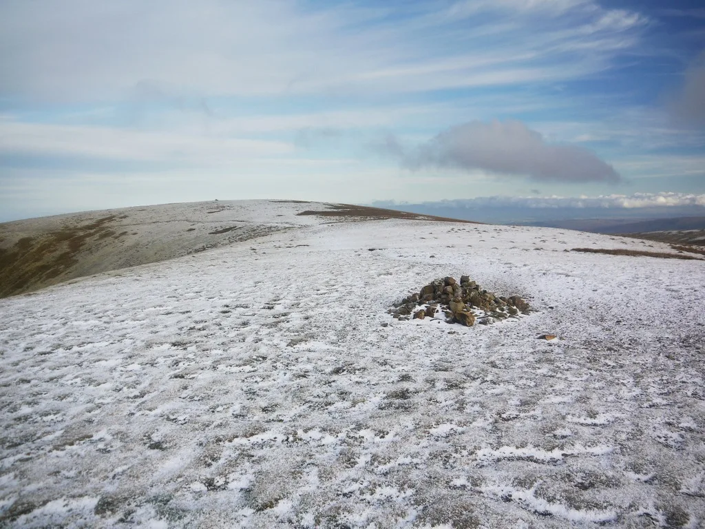
Hart Side is a named summit in the United Kingdom. Wikidata describes it as: "Named summit at 756 m.". Coordinates: 54.5687°, -2.9929°.
Photo gallery
See it from the streetimagery from 2019
Imagery © Mapillary contributors, CC BY-SA 4.0
Protected designations
- Site of Special Scientific Interest: River Derwent and Tributaries SSSI
- Site of Special Scientific Interest: River Eden and Tributaries SSSI
Designations sourced from Natural England open data under OGL v3.
From the Wikipedia article
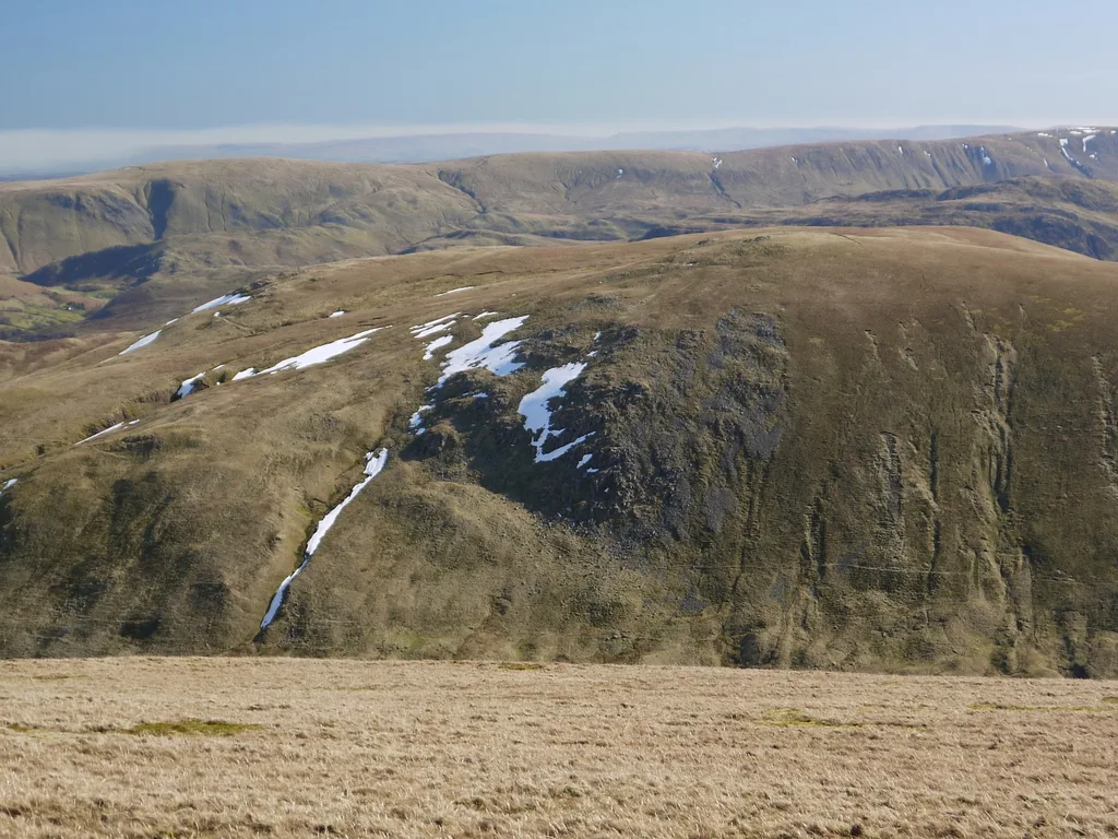
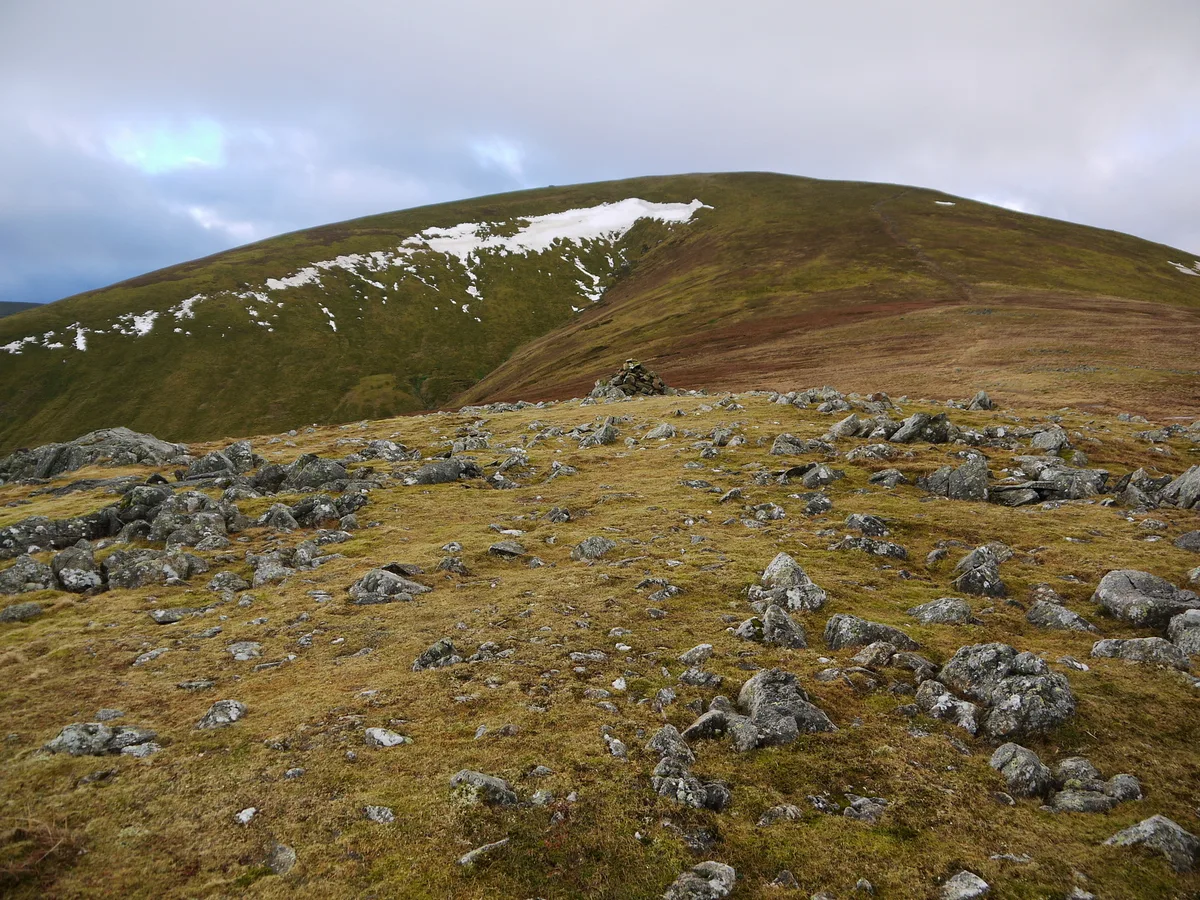
Hart Side (the hill side frequented by harts) is a subsidiary top on one of the east ridges of Stybarrow Dodd, which is a mountain (or fell) in the English Lake District, west of Ullswater on the main Helvellyn ridge in the Eastern Fells. With a height of 2,480 feet (760 m) Hart Side rises above the col separating it from Green Side by 75 feet (23 m). Some guide-book writers have treated Hart Side as a distinct fell, and have devoted a separate chapter to it. The same writers have treated the lower Watermillock Common as part of (or associated with) the fell. Other writers have simply focussed on routes to and between the many individual tops here and throughout Lakeland. Hart Side and Green Side are the two ends of a ridge which is composed of andesite rock, a sequence of lava flows from ancient volcanoes. A lead vein in the Green Side end of the ridge was exploited by the most successful lead mine in the Lake District until it closed in 1962.
Excerpt from Wikipedia under CC BY-SA 4.0. See the source article linked in Sources below.
- Coordinates
- 54.5687, -2.9929
- Address
- Cumbria, England
- Nearest railway station
- Threlkeld Quarry — 5.5 km
Sources
- osm: n4433287379 (ODbL)
- wikipedia: Hart Side (CC BY-SA 4.0)
- commons: Hart Side from Gt Dodd.JPG (CC BY-SA 4.0)
Other places nearby
Hart Side
Natural landmarks · 0.1 km

Green Side
Mountains & hills · 1.2 km

Randerside
Mountains & hills · 1.7 km

Sheffield Pike
Natural landmarks · 1.8 km

Stybarrow Dodd
Mountains & hills · 1.8 km
Stybarrow Dodd
Natural landmarks · 1.8 km
Sheffield Pike
Mountains & hills · 1.9 km
Great Dodd
Natural landmarks · 1.9 km

Brown Hills
Mountains & hills · 1.9 km

Great Dodd
Mountains & hills · 1.9 km

High Brow
Mountains & hills · 1.9 km

Swineside Knott
Mountains & hills · 2.0 km
Nearby
📷 4📷 5Mountains & hills · North West England
Green Side
Green Side — mountain in england north east. Elevation: 794.1 m.
📷 5Mountains & hills · North West England
Randerside
Randerside — mountain in england north east. Elevation: 729 m.
📷 3Natural landmarks · North West England
Sheffield Pike
Sheffield Pike — mountain in United Kingdom.
📷 4📷 4Natural landmarks · North West England
Stybarrow Dodd
Stybarrow Dodd — mountain in United Kingdom.
Where to eat & stay near Hart Side
Places to stay
 📷 5
📷 5Hostels · North West England
Bury Jubilee Outdoor Pursuits Centre
Bury Jubilee Outdoor Pursuits Centre — a hostel in england north east.
📷 5Hostels · North West England
YHA Helvellyn
YHA Helvellyn — a hostel in england north east. Brand: Youth Hostels Association.
 📷 5
📷 5Caravan parks · North West England
Gillside Caravan Park
Gillside Caravan Park — a caravan park in england north east.
 📷 5
📷 5Campsites · North West England
Gillside Camping
Gillside Camping — a campsite in england north east.
 📷 7
📷 7 📷 5
📷 5Caravan parks · North West England
High Bridge End Farm
High Bridge End Farm — a caravan park in england north east.
Places to eat & drink
 📷 5
📷 5 📷 7
📷 7Cafés · North West England
Grange Bridge Cottage
Grange Bridge Cottage — a café in england north east.
 📷 7
📷 7Historic pubs · North West England
The Travellers Rest
The Travellers Rest in England North West, United Kingdom.
 📷 5
📷 5Historic pubs · North West England
Horse And Farrier Inn And Stables
Horse And Farrier Inn And Stables in Scotland Lowlands, United Kingdom.
 📷 5
📷 5Historic pubs · North West England
Golden Rule Hotel
Golden Rule Hotel in England North West, United Kingdom.
 📷 4
📷 4Restaurants · North West England
Holbeck Ghyll
Holbeck Ghyll is a restaurant located in Windermere, Cumbria, England. "The late 19th century building was once Lord Lonsdale's hunting lodge and only became a hotel in the 1970s. It won a Michelin st
More mountains in this region
 📷 5
📷 5Mountains & hills · North West England
Appleton Park
Appleton Park — a hill or mountain in england west midlands.
 📷 5
📷 5Mountains & hills · North West England
High Warren
High Warren — mountain in england west midlands. Elevation: 105 m.
 📷 5
📷 5Mountains & hills · North West England
Alderley Edge
Alderley Edge — mountain in england west midlands. Elevation: 194 m.
 📷 3
📷 3Frequently asked questions
- Where is Hart Side?
- Hart Side is in North-East England, United Kingdom.
- What is Hart Side?
- Hart Side — Named summit at 756 m.
- How do I get to Hart Side?
- The nearest railway station is Threlkeld Quarry, about 5.5 km away. Its coordinates are 54.5687°, -2.9929°.
- Is Hart Side a protected site?
- Yes — Hart Side is part of the River Derwent and Tributaries SSSI Site of Special Scientific Interest and the River Eden and Tributaries SSSI Site of Special Scientific Interest.
- Is Hart Side free to visit?
- Yes, Hart Side is free to enter.
- How do I get to Hart Side?
- The nearest railway station is Threlkeld Quarry, about 5.5 km away.