
Abbeys & priories · East of England
Greyfriars, Dunwich
In or near Dunwich.
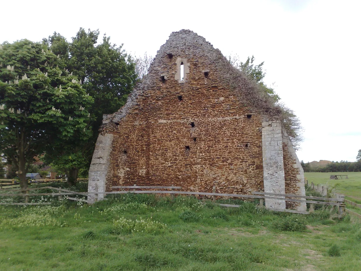
Greyfriars, Dunwich — remains of friary near Dunwich, Suffolk, England, UK.

Wikimedia Commons contributors — see linked file page for photographer and licence licence

Plan your visit
- Typical visit
- 45 min–1.5 h
- Nearest railway station
- Blythburgh · 5.7 km
- Free entry
- Family-friendly
- Limited wheelchair access
Getting there & planning your visit
To visit Greyfriars in Dunwich, the nearest railway station is Blythburgh, located 5.7 km away. Entry is free, but accessibility is limited for wheelchair users. The postcode for sat-nav is IP17 3DR.
About
Greyfriars, Dunwich is an abbey, priory, or monastic site in the United Kingdom. Heritage designation: scheduled monument. Wikidata describes it as: "remains of friary near Dunwich, Suffolk, England, UK". Coordinates: 52.2756°, 1.6306°.
Photo gallery
Heritage listing
Greyfriars, Dunwich was a Franciscan friary in Dunwich in the English county of Suffolk. The friary was founded before 1277 by Richard FitzJohn and his wife Alice and dissolved in 1538. The original site, which had 20 friars in 1277 when it first appears in records, was threatened by coastal erosion and the friary was moved inland in 1289. Many of the buildings are believed to have been destroyed on dissolution, with the remains used as a house, a town hall and a jail at various times. Modern remains consist of a precinct wall, two gatehouses and some two-storey walls believed to be the remains of a cloister building, possibly a refectory or infirmary building. The site was partly excavated in the 1930s and 1990s, with geophysical surveys being carried out on the site.
From the Historic England List Entry under OGL v3.
Summary from the official site
Greyfriars in Dunwich features the ruins of a medieval monastery, offering visitors a glimpse into its historical significance. The site includes remnants of the central structure and surrounding woodlands, providing a serene environment for exploration and reflection.
Read more on the official property page.
Protected designations
- Site of Special Scientific Interest: Minsmere-Walberswick Heaths and Marshes SSSI
- Area of Outstanding Natural Beauty: Suffolk Coast & Heaths
Designations sourced from Natural England open data under OGL v3.
From the Wikipedia article
Greyfriars, Dunwich was a Franciscan friary in Dunwich in the English county of Suffolk. The friary was founded before 1277 by Richard FitzJohn and his wife Alice and dissolved in 1538. The original site, which had 20 friars in 1277 when it first appears in records, was threatened by coastal erosion and the friary was moved inland in 1289. Many of the buildings are believed to have been destroyed on dissolution, with the remains used as a house, a town hall and a jail at various times. Modern remains consist of a precinct wall, two gatehouses and some two-storey walls believed to be the remains of a cloister building, possibly a refectory or infirmary building. The site was partly excavated in the 1930s and 1990s, with geophysical surveys being carried out on the site. The site was surveyed in 2011 as part of a dig by archaeological television programme Time Team. A geophysical survey using ground-penetrating radar confirmed a range of wall features and other anomalies in the precinct and trenches uncovered carved medieval stonework and medieval window glass fragments. Geophysical surveys suggest that the friary church may have been up to 60 metres in length. Some restoration work was carried out in 2008, including the strengthening of some buildings and repair of collapsed section of the precinct wall. The site was then placed on the Heritage at Risk Register, leading to a £250,000 restoration project in 2012 by English Heritage and Suffolk County Council. The management of the site was taken over by a local voluntary group, the Dunwich Greyfriars Trust, in October 2013. The transfer occurred after budget cuts by the county council meant that the running costs would no longer be met by the council. The remains are classified as a Grade II* listed building and most of the site as a Scheduled Monument.
Excerpt from Wikipedia under CC BY-SA 4.0. See the source article linked in Sources below.
- Coordinates
- 52.2756, 1.6306
- County
- Suffolk
- District
- East Suffolk
- Parish
- Dunwich
- Postcode
- IP17 3DR
- Parliamentary constituency
- Suffolk Coastal
- Established
- 1277
- Nearest railway station
- Blythburgh — 5.7 km
- Official site
- www.dunwichgreyfriars.org.uk
Sources
- wikidata: Q5608102 (CC0)
- wikipedia: Greyfriars, Dunwich (CC BY-SA 4.0)
- commons: Ruins of Greyfriars - geograph.org.uk - 142024.jpg (CC BY-SA 4.0)
Other places nearby

Dunwich Greyfriars
Historic houses · 0.0 km

Grave of Jacob Forster
Follies · 0.1 km
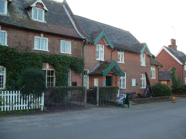
Dunwich Museum
Museums · 0.2 km

Dunwich
Towns & cities · 0.2 km
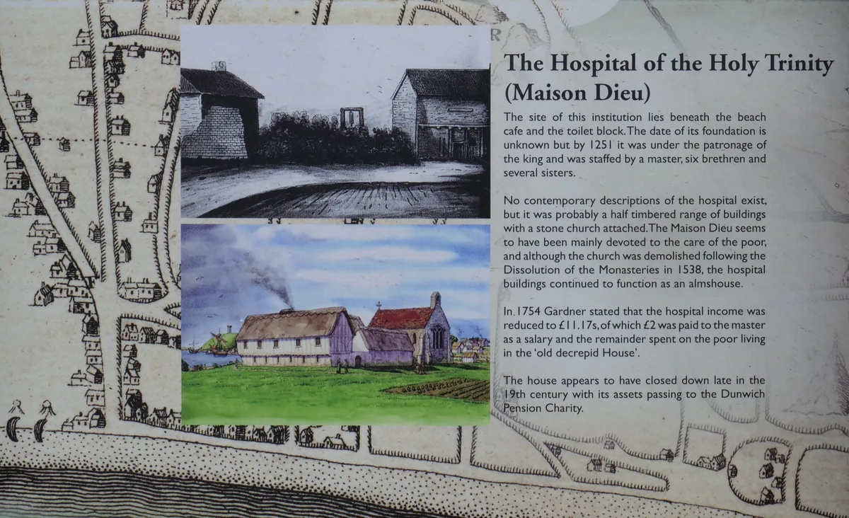
Hospital of the Holy Trinity (site of)
Archaeological sites · 0.3 km

Chapel of St James' Hospital
Chapels · 0.3 km

Dunwich Village Sign
Public art & sculpture · 0.4 km

Dunwich War Memorial Cross
Memorials & monuments · 0.4 km

Dunwich War Memorial
Memorials & monuments · 0.4 km
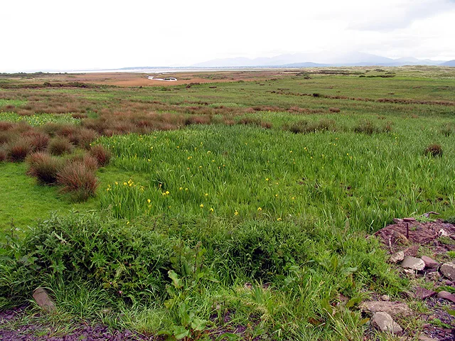
Dingle Marshes
Wildlife reserves · 1.1 km

Cliff House Estate Caravan Park
Caravan parks · 1.3 km
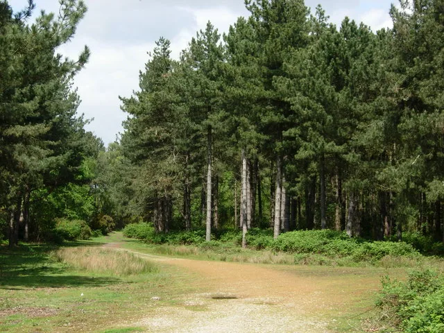
Dunwich Forest
Wildlife reserves · 1.8 km
Nearby
📷 3Historic houses · East of England
Dunwich Greyfriars
Dunwich Greyfriars — a historic house in england-east, United Kingdom.
📷 3Follies · East of England
Grave of Jacob Forster
Grave of Jacob Forster is a folly in the United Kingdom.
📷 3Museums · East of England
Dunwich Museum
Dunwich Museum — museum in Dunwich, Suffolk, England, UK.
📷 5Towns & cities · East of England
Dunwich
Dunwich — village and civil parish in Suffolk, UK.
📷 3Archaeological sites · East of England
Hospital of the Holy Trinity (site of)
Hospital of the Holy Trinity (site of) — archaeological site in Dunwich, East Suffolk, England, UK.
📷 3Chapels · East of England
Chapel of St James' Hospital
Chapel of St James' Hospital — remains of leper hospital at Dunwich, Suffolk, England, UK.
Where to eat & stay near Greyfriars, Dunwich
Places to stay
📷 5Caravan parks · East of England
Cliff House Estate Caravan Park
Cliff House Estate Caravan Park — a caravan park in england east.
 📷 5
📷 5 📷 5
📷 5Caravan parks · East of England
Walberswick Caravan Site
Walberswick Caravan Site — a caravan park in england east.
 📷 5
📷 5Caravan parks · East of England
Motorhome & Caravan Club, The Eels Foot
Motorhome & Caravan Club, The Eels Foot — a caravan park in england east.
 📷 5
📷 5Campsites · East of England
Southwold Camping and Caravan Site
Southwold Camping and Caravan Site — a campsite in england east.
 📷 5
📷 5Caravan parks · East of England
Haw Wood Caravan Park
Haw Wood Caravan Park — a caravan park in england east.
Places to eat & drink
 📷 5
📷 5 📷 7
📷 7Historic pubs · East of England
The Parrot And Punchbowl Public House
The Parrot And Punchbowl Public House in England East, United Kingdom.
 📷 5
📷 5Historic pubs · East of England
Cherry Tree Public House
Cherry Tree Public House in England East, United Kingdom.
 📷 6
📷 6Historic pubs · East of England
The Swan, Peasenhall
The Swan, Peasenhall in England East, United Kingdom.
 📷 5
📷 5Historic pubs · East of England
Huntingfield Arms
Huntingfield Arms in England East, United Kingdom.
 📷 7
📷 7Historic pubs · East of England
George and Dragon, Farnham
George and Dragon, Farnham in England East, United Kingdom.
More abbeys in this region
 Flagship📷 5
 📷 5
📷 5Abbeys & priories · East of England
Blackborough Priory
Blackborough Priory — monastery in Middleton, King's Lynn and West Norfolk, England, UK.
 📷 5
📷 5Abbeys & priories · East of England
Bulstrode Preceptory
Bulstrode Preceptory — monastery in Buckinghamshire, England, UK.
 Flagship📷 5
Abbeys & priories · East of England
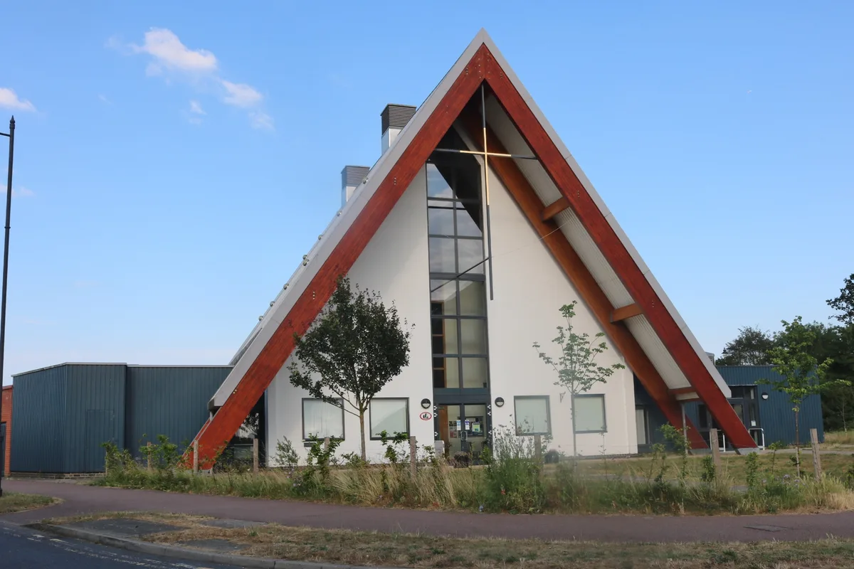
Cambourne Church
Cambourne Church is a abbey in the United Kingdom.
Frequently asked questions
- Where is Greyfriars, Dunwich?
- Greyfriars, Dunwich is in Suffolk, East of England, United Kingdom (postcode IP17 3DR), in the parish of Dunwich.
- What is Greyfriars, Dunwich?
- Greyfriars, Dunwich — remains of friary near Dunwich, Suffolk, England, UK.
- How do I get to Greyfriars, Dunwich?
- The nearest railway station is Blythburgh, about 5.7 km away. The nearest town is Dunwich. Drivers can use postcode IP17 3DR.
- When was Greyfriars, Dunwich built?
- Built or established in 1277.
- Is Greyfriars, Dunwich a listed building?
- Greyfriars, Dunwich is officially recognised as scheduled monument listed.
- Is Greyfriars, Dunwich a protected site?
- Yes — Greyfriars, Dunwich is part of the Minsmere-Walberswick Heaths and Marshes SSSI Site of Special Scientific Interest and the Suffolk Coast & Heaths National Landscape (AONB).
- Is Greyfriars, Dunwich free to visit?
- Yes, Greyfriars, Dunwich is free to enter.
- How do I get to Greyfriars, Dunwich?
- The nearest railway station is Blythburgh, about 5.7 km away. Drivers can navigate to postcode IP17 3DR.