
Viewpoints · North West England
Greenside Lead Mine
In or near Patterdale.
Greenside Lead Mine is a viewpoint in the United Kingdom.

Wikimedia Commons contributors — see linked file page for photographer and licence licence

Plan your visit
- Typical visit
- 20 min–45 min
- Best time of year
- Clear days year-round
- Nearest railway station
- Threlkeld Quarry · 7.6 km
- Free entry
- Dog-friendly
Getting there & planning your visit
To visit Greenside Lead Mine, the nearest railway station is Threlkeld Quarry, located 7.6 km away. Entry is free, and the postcode for sat-nav is CA11 0QR.
About
Greenside Lead Mine is a named viewpoint in the United Kingdom. Coordinates: 54.5495°, -2.9853°. This entry is part of The Great Britain Guide, a free, ad-free, open-data tourist directory.
Photo gallery
Protected designations
- Site of Special Scientific Interest: River Derwent and Tributaries SSSI
- Site of Special Scientific Interest: Helvellyn & Fairfield SSSI
- Site of Special Scientific Interest: River Eden and Tributaries SSSI
Designations sourced from Natural England open data under OGL v3.
From the Wikipedia article
Greenside Mine (sometimes referred to as Greenside Lead Mine) was a successful lead mine in the Lake District of England. Between 1825 and 1961 the mine produced 156,000 long tons (159,000 tonnes) of lead and 1,600,000 ounces (45 tonnes) of silver, from around 2 million tons of ore. During the 1940s it was the largest producer of lead ore in the UK. Unusually for a 19th-century metalliferous mine in Britain there are very full records of its activities, dating back to 1825. The mine probably opened during the second half of the 1700s but had closed by 1819. In 1825 the Greenside Mining Company was formed and reopened the mine. They made good profits until 1880, after which price of lead fell. Many other lead mines closed at that time, but the company reduced its costs and continued to work Greenside until 1935. Electricity was introduced to the mine in the 1890s, and it became the first metalliferous mine in Britain to use electric winding engines and an electric locomotive. In 1936 the Basinghall Mining Syndicate Ltd. acquired the mine and turned it into a high volume lead producer. The mine closed in 1962 after lead reserves had been exhausted. Just before it closed the mine was used by the Atomic Weapons Research Establishment (AWRE) to conduct an experiment in detecting seismic signals from underground explosions. Fifteen years after the mine closed mine explorers began to visit the upper levels. They cleared the entrances and several roof falls, and today they are able to pass through the mine using an old escape route. All the ore produced by the mine came from the Greenside Vein, a mineral vein which filled a geological fault running in a north–south direction through the east ridge of Green Side, a mountain in the Helvellyn range. Mining activities traced this fault for a length of 3,900 feet (1,200 m) and to a depth of 2,900 feet (880 m). Four areas of the vein, known as ore shoots, contained galena, an ore of lead which also contained small amounts of…
Excerpt from Wikipedia under CC BY-SA 4.0. See the source article linked in Sources below.
Background
Description
The mine was west of Glenridding village, which is by the southern end of Ullswater in the parish of Patterdale. This is now in Cumbria, but during the working life of the mine it was in the former county of Westmorland. Above the village is a valley which contains Glenridding Beck, flowing down from sources in Red Tarn and Brown Cove. A higher side valley to the north lies between the mountains of Green Side and Raise. It was above this side valley that the lead deposit was found, running through the eastern ridge of Green Side, at a height of about 2000 ft above sea level. In the 18th century this deposit was worked from levels driven directly into the mountain-side, above the upper…
Sourced from Wikipedia under CC BY-SA 4.0.
- Coordinates
- 54.5495, -2.9853
- District
- Westmorland and Furness
- Parish
- Patterdale
- Postcode
- CA11 0QR
- Parliamentary constituency
- Westmorland and Lonsdale
- Nearest railway station
- Threlkeld Quarry — 7.6 km
Sources
- osm: n4530317307 (ODbL)
- wikipedia: Greenside Mine (CC BY-SA 4.0)
- commons: Greenside Mine, site 2014.JPG (CC BY-SA 4.0)
Other places nearby

Bury Jubilee Outdoor Pursuits Centre
Hostels · 0.2 km
Almond Lodge
Hostels · 0.2 km
YHA Helvellyn
Hostels · 0.3 km
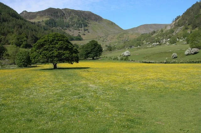
Sheffield Pike
Natural landmarks · 0.8 km
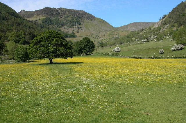
Sheffield Pike
Mountains & hills · 0.8 km

Heron Pike
Mountains & hills · 1.0 km

ruined chimney
Historic houses · 1.2 km
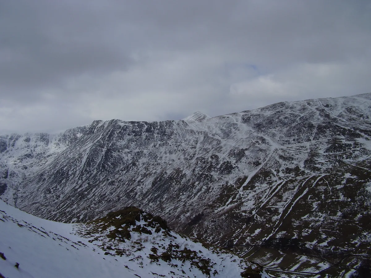
Birkhouse Moor
Natural landmarks · 1.6 km

Green Side
Mountains & hills · 1.6 km
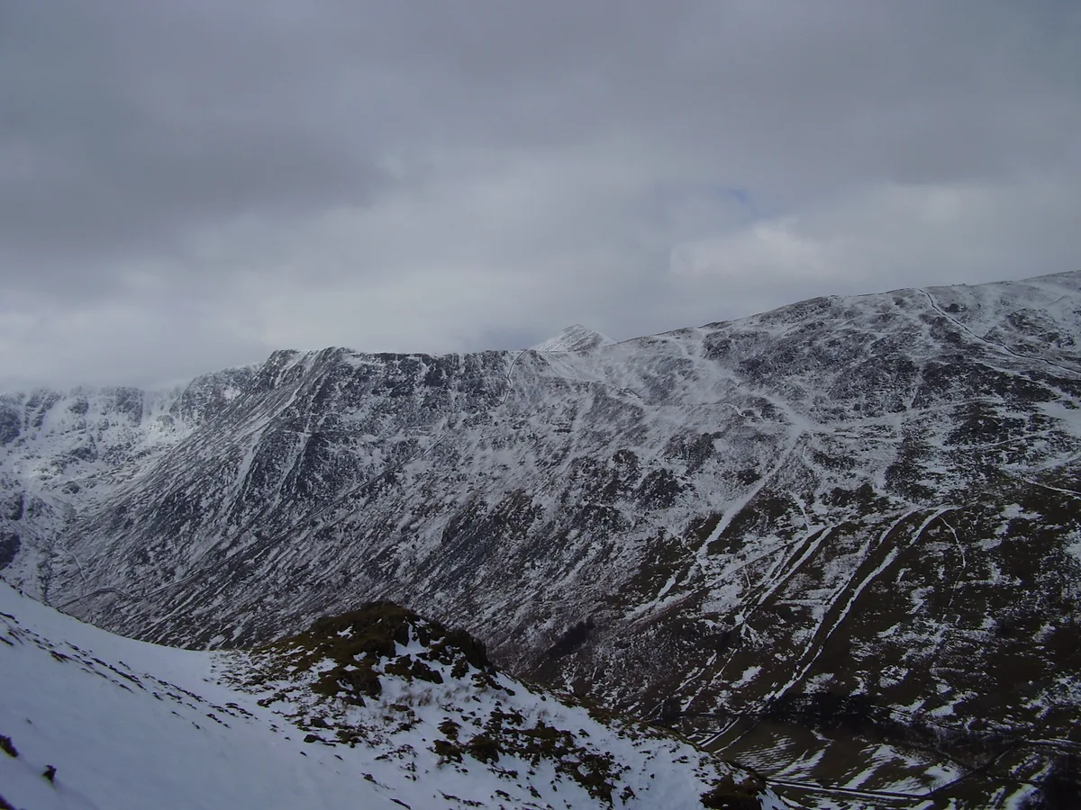
Birkhouse Moor
Mountains & hills · 1.6 km

Gillside Caravan Park
Caravan parks · 1.6 km
Glenridding Dodd
Mountains & hills · 1.7 km
Nearby
📷 5Hostels · North West England
Bury Jubilee Outdoor Pursuits Centre
Bury Jubilee Outdoor Pursuits Centre — a hostel in england north east.
Hostels · North West England
Almond Lodge
Almond Lodge — a hostel in england north west.
📷 5Hostels · North West England
YHA Helvellyn
YHA Helvellyn — a hostel in england north east. Brand: Youth Hostels Association.
📷 3Natural landmarks · North West England
Sheffield Pike
Sheffield Pike — mountain in United Kingdom.
📷 3📷 5Mountains & hills · North West England
Heron Pike
Heron Pike — mountain in england north east. Elevation: 612 m.
Where to eat & stay near Greenside Lead Mine
Places to stay
📷 5Hostels · North West England
Bury Jubilee Outdoor Pursuits Centre
Bury Jubilee Outdoor Pursuits Centre — a hostel in england north east.
Hostels · North West England
Almond Lodge
Almond Lodge — a hostel in england north west.
📷 5Hostels · North West England
YHA Helvellyn
YHA Helvellyn — a hostel in england north east. Brand: Youth Hostels Association.
📷 5Caravan parks · North West England
Gillside Caravan Park
Gillside Caravan Park — a caravan park in england north east.
 📷 5
📷 5Campsites · North West England
Gillside Camping
Gillside Camping — a campsite in england north east.
 📷 7
📷 7Places to eat & drink
 📷 7
📷 7Historic pubs · North West England
The Travellers Rest
The Travellers Rest in England North West, United Kingdom.
 📷 7
📷 7Cafés · North West England
Grange Bridge Cottage
Grange Bridge Cottage — a café in england north east.
 📷 5
📷 5 📷 5
📷 5Historic pubs · North West England
Golden Rule Hotel
Golden Rule Hotel in England North West, United Kingdom.
 📷 5
📷 5Historic pubs · North West England
Horse And Farrier Inn And Stables
Horse And Farrier Inn And Stables in Scotland Lowlands, United Kingdom.
 📷 4
📷 4Restaurants · North West England
Holbeck Ghyll
Holbeck Ghyll is a restaurant located in Windermere, Cumbria, England. "The late 19th century building was once Lord Lonsdale's hunting lodge and only became a hotel in the 1970s. It won a Michelin st
More viewpoints in this region
 📷 3
📷 3 📷 4
📷 4 📷 3
📷 3Viewpoints · North West England
Southside MAN Viewing area
Southside MAN Viewing area is a viewpoint in the United Kingdom.
 📷 3
📷 3Frequently asked questions
- Where is Greenside Lead Mine?
- Greenside Lead Mine is in North-West England, United Kingdom (postcode CA11 0QR), in the parish of Patterdale.
- What is Greenside Lead Mine?
- Greenside Lead Mine is a viewpoint in the United Kingdom.
- How do I get to Greenside Lead Mine?
- The nearest railway station is Threlkeld Quarry, about 7.6 km away. The nearest town is Patterdale. Drivers can use postcode CA11 0QR.
- Is Greenside Lead Mine a protected site?
- Yes — Greenside Lead Mine is part of the River Derwent and Tributaries SSSI Site of Special Scientific Interest and the Helvellyn & Fairfield SSSI Site of Special Scientific Interest.
- Is Greenside Lead Mine free to visit?
- Yes, Greenside Lead Mine is free to enter.
- How do I get to Greenside Lead Mine?
- The nearest railway station is Threlkeld Quarry, about 7.6 km away. Drivers can navigate to postcode CA11 0QR.