
Mountains & hills · East of England
Great Wood Hill
In or near Brockley.
Great Wood Hill — Named summit at 128 m.

Wikimedia Commons contributors — see linked file page for photographer and licence licence

Plan your visit
- Typical visit
- 3 h–8 h
- Best time of year
- Late spring – early autumn (May–Oct)
- Free entry
- Dog-friendly
About
Great Wood Hill is a named summit in the United Kingdom. Wikidata describes it as: "Named summit at 128 m.". Coordinates: 52.1722°, 0.6119°.
Photo gallery
From the Wikipedia article
At 128 metres (420 ft), Great Wood Hill, in Depden, is the highest point in the English county of Suffolk. It is the highest part of the Newmarket Ridge. It is the highest point in the wide area east of the River Cam.
Excerpt from Wikipedia under CC BY-SA 4.0. See the source article linked in Sources below.
- Coordinates
- 52.1722, 0.6119
- County
- Suffolk
- District
- West Suffolk
- Parish
- Depden
- Postcode
- IP29 4BS
- Parliamentary constituency
- West Suffolk
Sources
- osm: n3428782671 (ODbL)
- wikipedia: Great Wood Hill (CC BY-SA 4.0)
- commons: Suffolk's county top - geograph.org.uk - 190439.jpg (CC BY-SA 4.0)
Other places nearby

Depden
Villages · 1.1 km

Church of St Mary
Historic churches · 1.2 km

Depden Village Sign
Public art & sculpture · 1.2 km

Rede
Villages · 1.7 km

Chedburgh Village Sign
Public art & sculpture · 1.7 km

Chedburgh
Villages · 2.0 km

Purton Green Farmhouse
Farms (open to visitors) · 2.4 km
Hay Wood, Whepstead
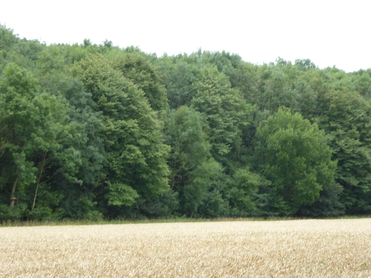
Archaeological sites · 2.9 km

Queens Head Public House
Historic pubs · 3.0 km

Hawkedon War Memorial
Memorials & monuments · 3.0 km

Hawkedon
Villages · 3.0 km

Chevington Village Sign
Public art & sculpture · 3.3 km
Nearby
📷 5📷 3Historic churches · East of England
Church of St Mary
Church of St Mary — church in Depden, Suffolk, England, UK.
📷 3Public art & sculpture · East of England
Depden Village Sign
Depden Village Sign — a public art in East of England, United Kingdom.
📷 5📷 3Public art & sculpture · East of England
Chedburgh Village Sign
Chedburgh Village Sign — a public art in East of England, United Kingdom.
📷 5Where to eat & stay near Great Wood Hill
Places to stay
 📷 5
📷 5Campsites · East of England
Brighthouse Farm Caravan & Campsite
Brighthouse Farm Caravan & Campsite — a campsite in england east.
 📷 7
📷 7 📷 7
📷 7Hotels · East of England
Chantry Hotel
Chantry Hotel — a hotel in england east.
 📷 5
📷 5 📷 5
📷 5Hotels · East of England
Angel Hotel
Angel Hotel — a hotel in england east.
 📷 5
📷 5Hotels · East of England
Dragonfly Hotel
Dragonfly Hotel — a hotel in england east.
Places to eat & drink
📷 5Historic pubs · East of England
Queens Head Public House
Queens Head Public House in England East, United Kingdom.
 📷 7
📷 7Historic pubs · East of England
Railway Arms Public House
Railway Arms Public House in England East, United Kingdom.
 📷 7
📷 7Historic pubs · East of England
The White Horse Public House Cottage And Coach House
The White Horse Public House Cottage And Coach House in England East, United Kingdom.
 📷 5
📷 5Historic pubs · East of England
The Elephant And Castle Public House
The Elephant And Castle Public House in England East, United Kingdom.
 📷 7
📷 7Historic pubs · East of England
The Nutshell
The Nutshell in England East, United Kingdom.
 📷 7
📷 7More mountains in this region
 📷 5
📷 5Mountains & hills · East of England
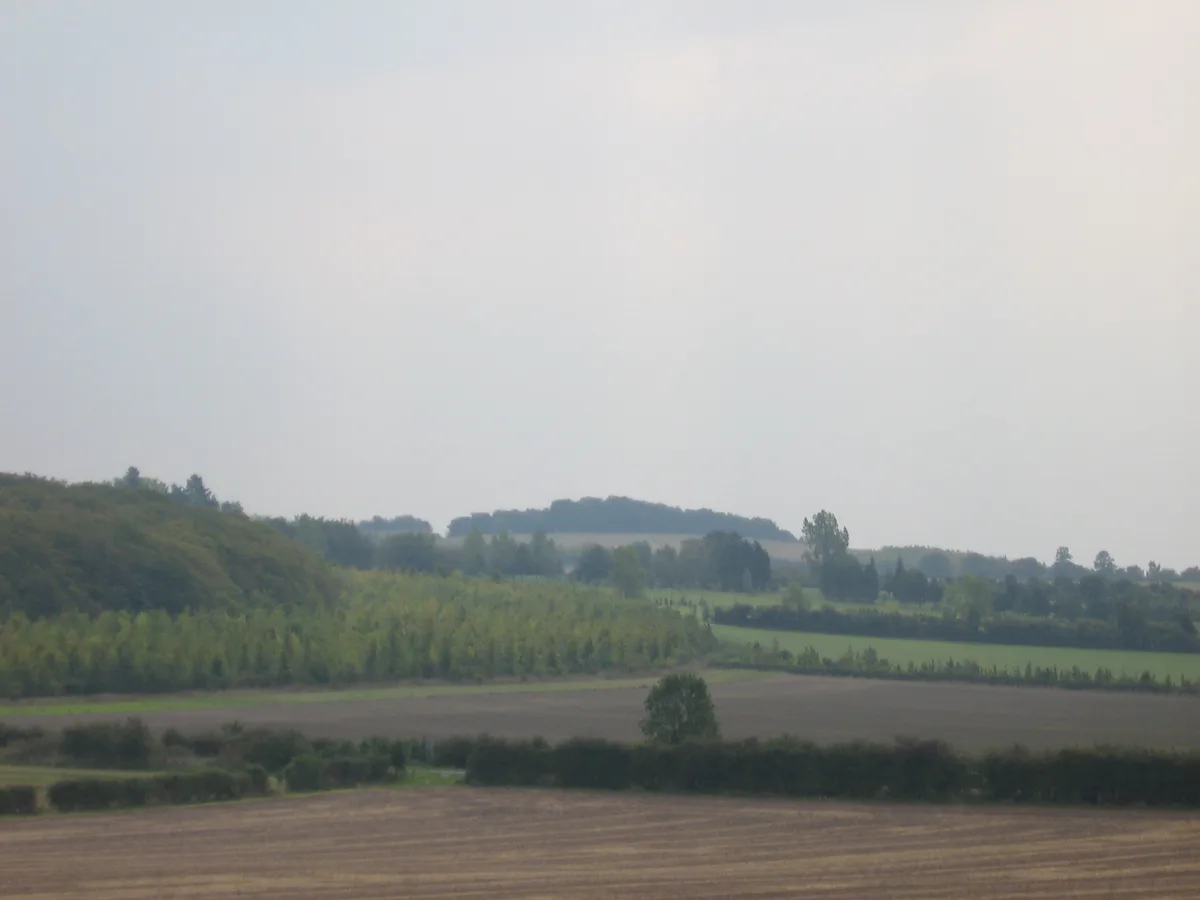
Cambridgeshire County Top
Cambridgeshire County Top — Named summit at 146 m.
 📷 5
📷 5 📷 5
📷 5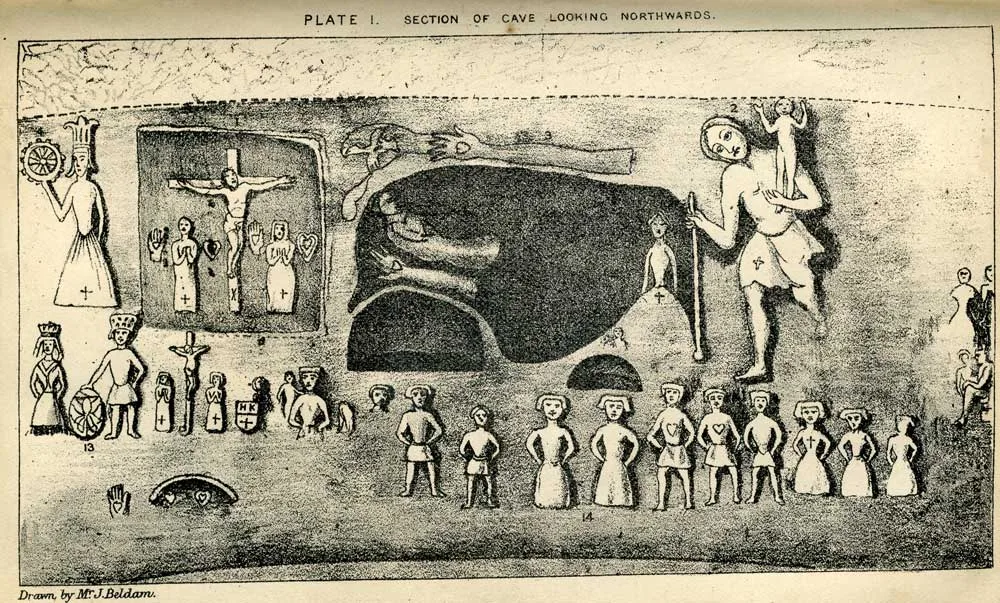 📷 5
📷 5Mountains & hills · East of England
Royston Cave
Royston Cave — Grade I listed building in North Hertfordshire, England, UK.
Frequently asked questions
- Where is Great Wood Hill?
- Great Wood Hill is in Suffolk, East of England, United Kingdom (postcode IP29 4BS), in the parish of Depden.
- What is Great Wood Hill?
- Great Wood Hill — Named summit at 128 m.
- How do I get to Great Wood Hill?
- The nearest town is Brockley. Drivers can use postcode IP29 4BS.
- Is Great Wood Hill free to visit?
- Yes, Great Wood Hill is free to enter.
- How do I get to Great Wood Hill?
- Drivers can navigate to postcode IP29 4BS. It sits within the West Suffolk parliamentary constituency.