
Wildlife reserves · East of England
Grafham Water
In or near Ellington.
Grafham Water — reservoir in England.

Wikimedia Commons contributors — see linked file page for photographer and licence licence

Plan your visit
- Typical visit
- 2 h–4 h
- Best time of year
- Autumn & winter (migration & wildfowl)
- Nearest railway station
- St Neots · 8.7 km
- Free entry
- Family-friendly
- Dog-friendly
- Limited wheelchair access
Getting there & planning your visit
Grafham Water is accessible via the nearest railway station, St Neots, which is 8.7 km away. Entry to the wildlife reserve is free, though wheelchair accessibility is limited. The postcode for sat-nav is PE28 0BU.
About
Grafham Water is a wildlife reserve in the United Kingdom. Managed by Wildlife Trust for Bedfordshire, Cambridgeshire and Northamptonshire. Wikidata describes it as: "reservoir in England". Coordinates: 52.2981°, -0.3150°.
Photo gallery
Protected designations
- Site of Special Scientific Interest: Grafham Water SSSI
Designations sourced from Natural England open data under OGL v3.
From the Wikipedia article
Grafham Water is an 806.3-hectare (1,992-acre) biological Site of Special Scientific Interest (SSSI) north of Perry, Huntingdonshire. It was designated an SSSI in 1986. It is a reservoir with a circumference of about 16 km (10 mi), is 21 m (69 ft) deep at maximum, and is the eighth largest reservoir in England by volume and the joint third largest by area at 6.27 km2 (1,550 acres). An area of 114 ha (280 acres) at the western end is a nature reserve managed by the Wildlife Trust for Bedfordshire, Cambridgeshire and Northamptonshire. The lake was created by building an earth and concrete dam, constructed by W. & C. French in 1965, and water is extracted and processed at an adjacent Anglian Water treatment plant before being piped away as drinking water. It was shown from the air, before it opened, in 'Look at Life (film series)' ' 1965 episode, 'Will Taps Run Dry ?', narrated by Tim Turner. The reservoir was immediately colonised by wildlife and a nature reserve was created at the western side of the reservoir. The nature reserve contains semi-natural ancient (at least 400 years old) woodlands and more recent plantation woodlands, grasslands and wetland habitats such as reedbeds, willow and open water. The reservoir has nationally important numbers of wintering great crested grebes, tufted ducks and coots, and of moulting mute swans in late summer. A pond has a population of the nationally uncommon warty newt. Water is obtained by pumping water from the River Great Ouse nearby. There are two pumping stations associated with the reservoir. One is located just behind the dam, the other at Offord Cluny alongside the River Great Ouse. At times of high potential flood risk, Grafham Water treatment works can increase the amount of water it takes up to maximum capacity to help reduce the risk of flooding along the river. As of January 2011, it was the only site in England, and the first in the UK, to harbour the invasive killer shrimp (Dikerogammarus villosus). Grafham…
Excerpt from Wikipedia under CC BY-SA 4.0. See the source article linked in Sources below.
- Coordinates
- 52.2981, -0.3150
- County
- Cambridgeshire
- District
- Huntingdonshire
- Parish
- Perry
- Postcode
- PE28 0BU
- Parliamentary constituency
- Huntingdon
- Established
- 1965
- Nearest railway station
- St Neots — 8.7 km
Sources
- wikidata: Q5592486 (CC0)
- wikipedia: Grafham Water (CC BY-SA 4.0)
- commons: Grafham Water - geograph.org.uk - 1552523.jpg (CC BY-SA 4.0)
Other places nearby

Perry
Public art & sculpture · 1.1 km

Grafham Water Caravan and Motorhome Club
Caravan parks · 1.6 km

Grafham
Public art & sculpture · 1.6 km

Ellington Thorpe Lodge
Castles · 2.5 km
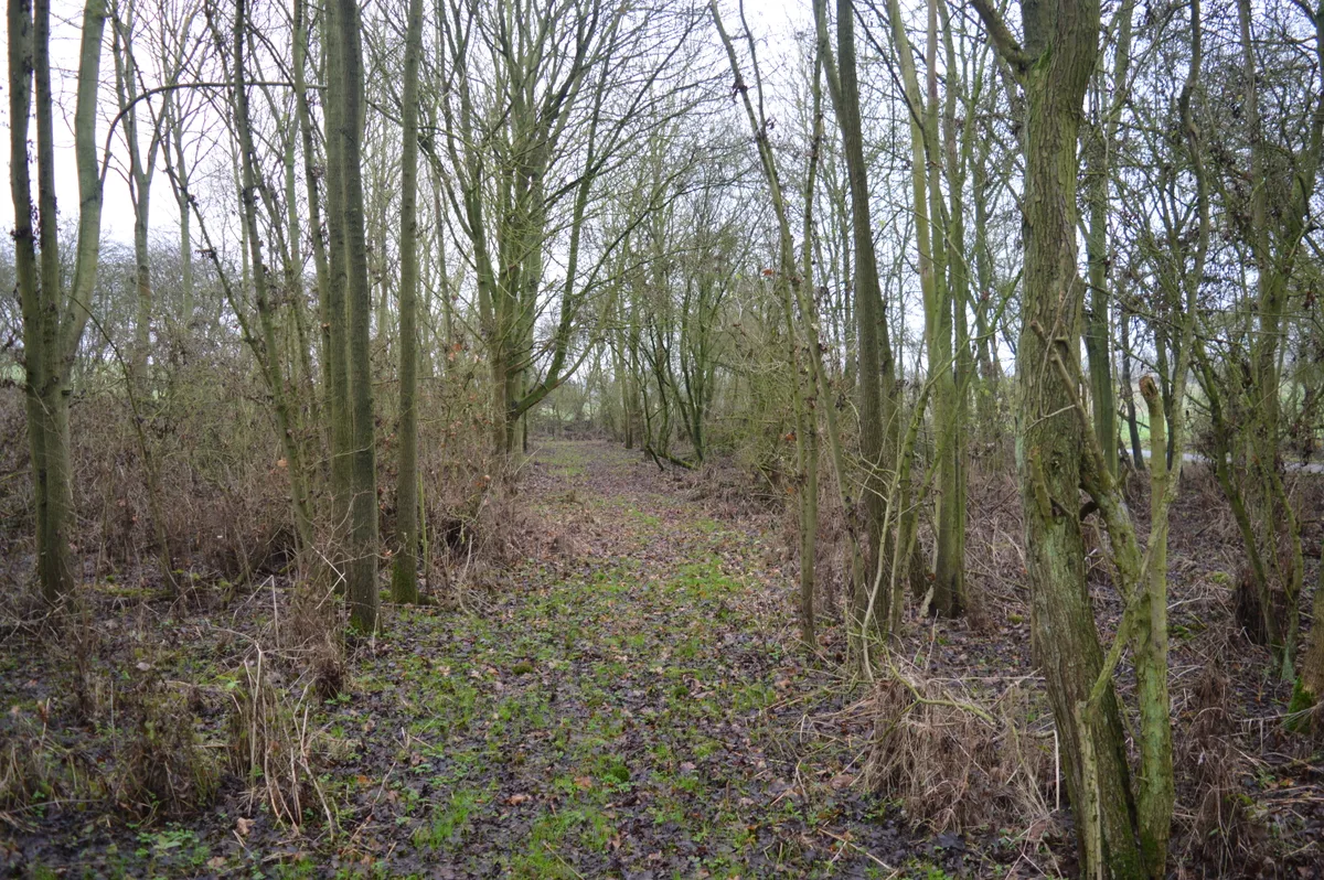
Shepherd's Close
Wildlife reserves · 3.1 km

Shepherds Close
Forests & woodlands · 3.2 km

Brampton Wood
Forests & woodlands · 3.7 km

Great Staughton
Museums · 3.7 km

Ellington
Towns & cities · 3.7 km

Easton
Villages · 3.7 km
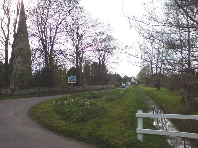
Parish Church of St Peter
Historic churches · 3.8 km
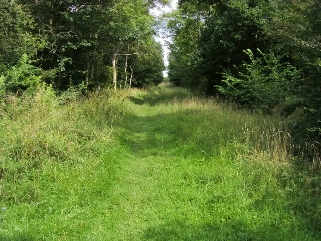
Brampton Wood
Wildlife reserves · 3.8 km
Nearby
📷 5Public art & sculpture · East of England
Perry
Perry — a public art in East of England, United Kingdom.
📷 5Caravan parks · East of England
Grafham Water Caravan and Motorhome Club
Grafham Water Caravan and Motorhome Club — a caravan park in england london.
📷 5Public art & sculpture · East of England
Grafham
Grafham — a public art in East of England, United Kingdom.
📷 5📷 5Wildlife reserves · East of England
Shepherd's Close
Shepherd's Close — nature reserve in the United Kingdom.
📷 5Forests & woodlands · East of England
Shepherds Close
Shepherds Close is a forest or woodland in the United Kingdom.
Where to eat & stay near Grafham Water
Places to stay
📷 5Caravan parks · East of England
Grafham Water Caravan and Motorhome Club
Grafham Water Caravan and Motorhome Club — a caravan park in england london.
 📷 5
📷 5 📷 5
📷 5 📷 5
📷 5Campsites · East of England
Top End Farm Campsite
Top End Farm Campsite — a campsite in england london.
 📷 5
📷 5Caravan parks · East of England
Willows Caravan Park and Marina
Willows Caravan Park and Marina — a caravan park in england london.
📷 5Caravan parks · East of England
Willows Caravan Park and Marina
Willows Caravan Park and Marina — a caravan park in england london.
Places to eat & drink
 📷 5
📷 5Historic pubs · East of England
The Half Moon Public House
The Half Moon Public House in England East, United Kingdom.
 📷 5
📷 5Historic pubs · East of England
The Swan And Salmon
The Swan And Salmon in England East, United Kingdom.
 📷 5
📷 5 📷 5
📷 5Historic pubs · East of England
Three Tuns Public House
Three Tuns Public House in England East, United Kingdom.
 📷 7
📷 7Restaurants · East of England
The Old Bridge Hotel
The Old Bridge Hotel — a restaurant in england london.
 📷 5
📷 5Historic pubs · East of England
Ye Olde Plough Public House
Ye Olde Plough Public House in England East, United Kingdom.
More places run by Wildlife Trust for Bedfordshire, Cambridgeshire and Northamptonshire
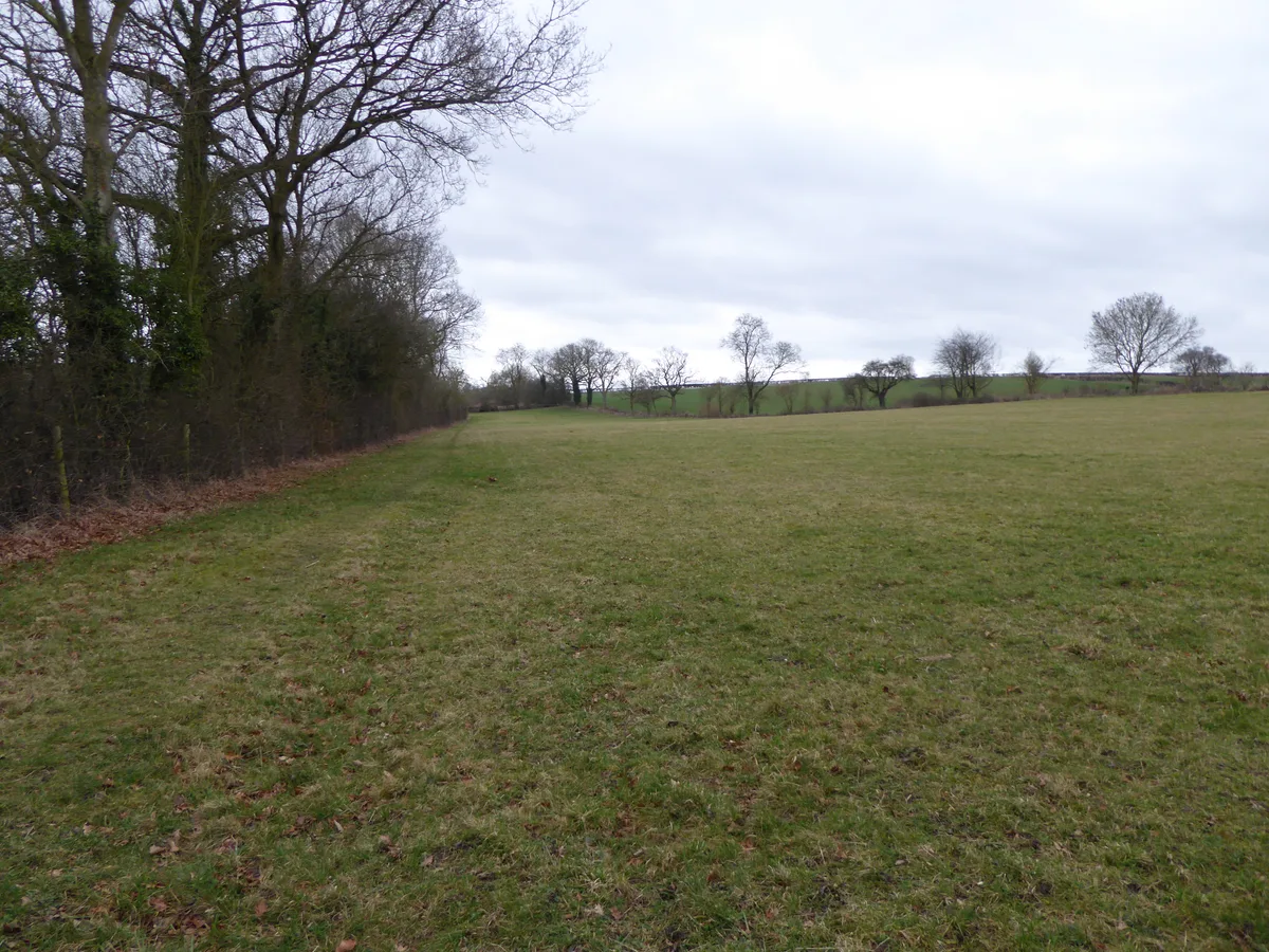 📷 5
📷 5Wildlife reserves · South East England
Boddington Meadow
Boddington Meadow — nature reserve in the United Kingdom.
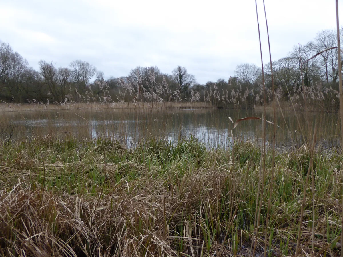 📷 3
📷 3Wildlife reserves · South East England
Byfield Pool
Byfield Pool — nature reserve in the United Kingdom.
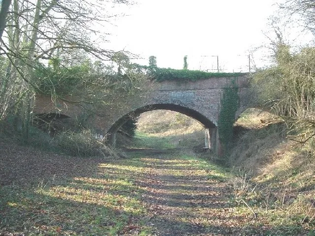 📷 5
📷 5Wildlife reserves · South East England
Farthinghoe Nature Reserve
Farthinghoe Nature Reserve — nature reserve in the United Kingdom.
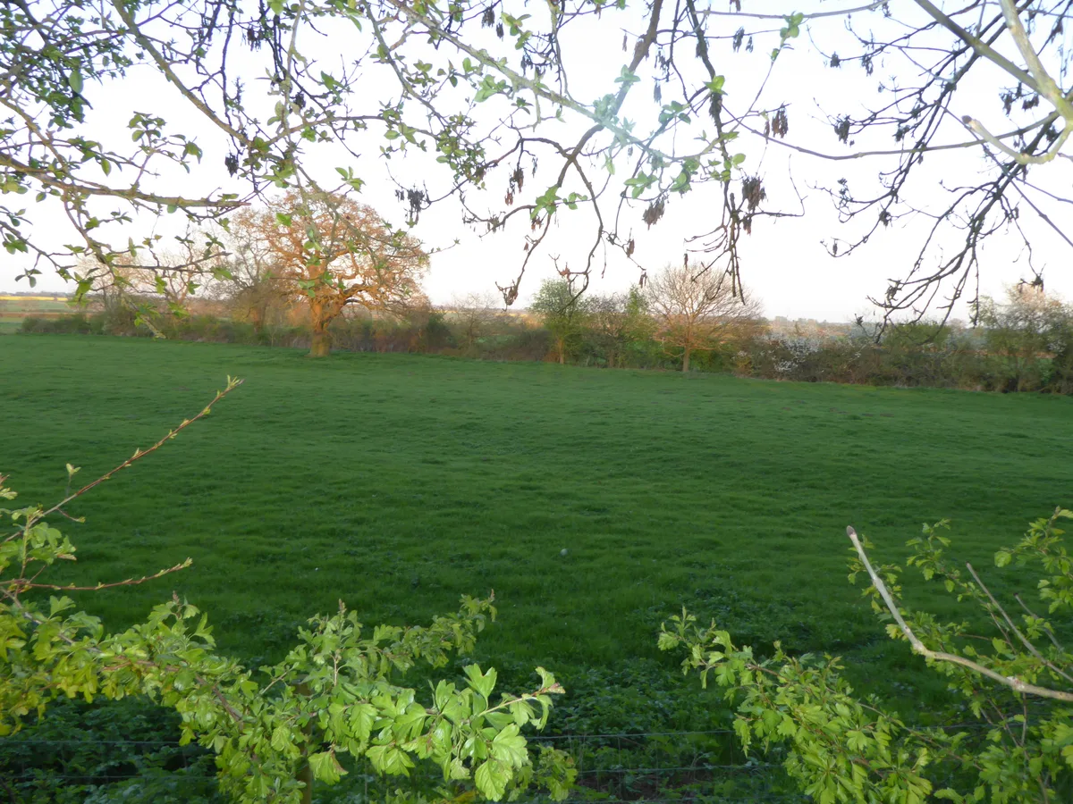 📷 3
📷 3Wildlife reserves · South East England
Grafton Regis Meadow
Grafton Regis Meadow — nature reserve in the United Kingdom.
More places in this region
 Flagship📷 10
Wildlife reserves · East of England
Amwell Quarry
Amwell Quarry — nature reserve in United Kingdom.
 Flagship📷 10
Wildlife reserves · East of England
Aubrey Buxton Nature Reserve
Aubrey Buxton Nature Reserve — Essex Wildlife Trust Nature reserve.
 Flagship📷 10
Wildlife reserves · East of England
Canvey Wick
Canvey Wick — nature reserve in Essex, United Kingdom.
 Flagship📷 10
Wildlife reserves · East of England
Crowsheath Wood
Crowsheath Wood — Essex Wildlife Trust Nature reserve.
Frequently asked questions
- Where is Grafham Water?
- Grafham Water is in Cambridgeshire, East of England, United Kingdom (postcode PE28 0BU), in the parish of Perry.
- What is Grafham Water?
- Grafham Water — reservoir in England.
- How do I get to Grafham Water?
- The nearest railway station is St Neots, about 8.7 km away. The nearest town is Ellington. Drivers can use postcode PE28 0BU.
- When was Grafham Water built?
- Built or established in 1965.
- Who runs Grafham Water?
- Grafham Water is operated by Wildlife Trust for Bedfordshire, Cambridgeshire and Northamptonshire.
- Is Grafham Water a protected site?
- Yes — Grafham Water is part of the Grafham Water SSSI Site of Special Scientific Interest.
- Is Grafham Water free to visit?
- Yes, Grafham Water is free to enter.
- How do I get to Grafham Water?
- Drivers can navigate to postcode PE28 0BU. It sits within the Huntingdon parliamentary constituency.