
Mountains & hills · North East England
Gowbarrow Fell (Wainwright)
Gowbarrow Fell (Wainwright) — Named summit at 481.1 m.

Wikimedia Commons contributors — see linked file page for photographer and licence licence

Plan your visit
- Typical visit
- 3 h–8 h
- Best time of year
- Late spring – early autumn (May–Oct)
- Nearest railway station
- Threlkeld Quarry · 8.4 km
- Free entry
- Dog-friendly
About
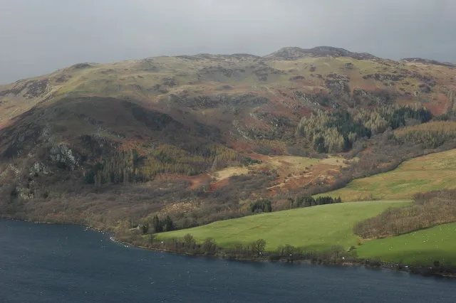
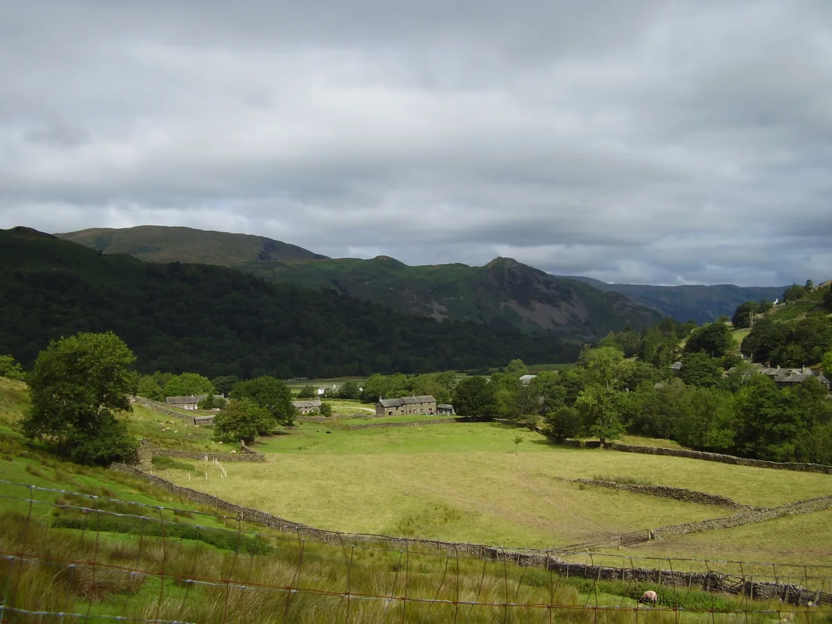
Gowbarrow Fell (Wainwright) is a named summit in the United Kingdom. Wikidata describes it as: "Named summit at 481.1 m.". Coordinates: 54.5881°, -2.9182°.
Photo gallery
Protected designations
- Site of Special Scientific Interest: River Eden and Tributaries SSSI
Designations sourced from Natural England open data under OGL v3.
From the Wikipedia article
Gowbarrow Fell (Windy hill) is a low fell in the English Lake District. It is an outlier of the Eastern Fells, standing to the north of Ullswater, bounded on one side by Aira Beck with its waterfall Aira Force. The waterfall is a popular attraction for visitors to the area. In previous centuries the fell was part of a medieval hunting-park, Gowbarrow Park, which belonged to the lords of Greystoke. The fell, along with 750 acres of the park, were bought by the National Trust in 1906.
Excerpt from Wikipedia under CC BY-SA 4.0. See the source article linked in Sources below.
Background
History
Gowbarrow Fell stands within Gowbarrow Park, a medieval hunting park and part of the lands of Greystoke Manor. Greystoke was granted to Forne, son of Sigulph, by king Henry I (reigned 1100 to 1135), according to a testament dated 1212. It is not clear whether this was a new grant, or a reconfirmation of Forne's existing holding of lands held by his father Sigulph in pre-Norman times. Forne's daughter Edith was one of Henry I's mistresses, and his son Ivo built the first stone tower at Greystoke Castle in 1129. In a source of 1418 Matterdale was referred to as 'a forest', that is 'a hunting ground.' Crosthwaite's map of 1783 shows the boundaries of the park extended from Gowbarrow Hall to…
Sourced from Wikipedia under CC BY-SA 4.0.
- Coordinates
- 54.5881, -2.9182
- District
- Westmorland and Furness
- Parish
- Matterdale
- Postcode
- CA11 0LE
- Parliamentary constituency
- Westmorland and Lonsdale
- Nearest railway station
- Threlkeld Quarry — 8.4 km
Sources
- osm: n29730767 (ODbL)
- wikipedia: Gowbarrow Fell (CC BY-SA 4.0)
- commons: Gowbarrow and Ullswater - geograph.org.uk - 1312200.jpg (CC BY-SA 4.0)
Other places nearby
Loading nearby places…
Nearby
 📷 4
📷 4Natural landmarks · North East England
Gowbarrow Fell
Gowbarrow Fell — mountain in Cumbria, United Kingdom.
 📷 5
📷 5Mountains & hills · North East England
Gowbarrow Fell Summit
Gowbarrow Fell Summit — mountain in england north east. Elevation: 481.2 m.
 📷 5
📷 5Mountains & hills · North East England
Gowbarrow Park
Gowbarrow Park — mountain in england north east. Elevation: 464 m.
 📷 3
📷 3Public art & sculpture · North East England
Herdwick Stone - Yan
Herdwick Stone - Yan — a public art in england-north-east, United Kingdom.
 📷 5
📷 5Mountains & hills · North East England
Great Meldrum
Great Meldrum — mountain in england north east. Elevation: 437 m.
📷 5Mountains & hills · North East England
Great Meldrum
Great Meldrum — a hill or mountain in england north east.
More mountains in this region
 📷 3
📷 3Mountains & hills · North East England
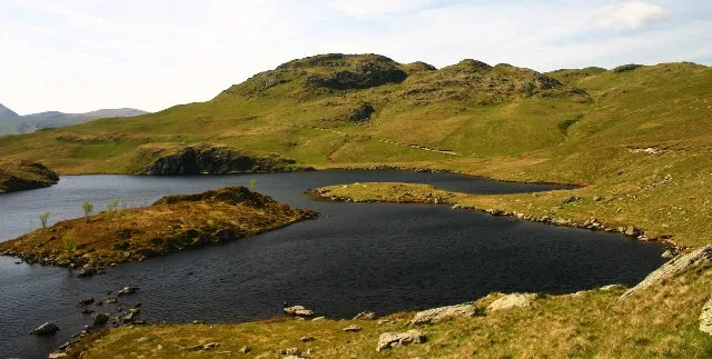
Angletarn Pikes
Angletarn Pikes — Named summit at 566 m.
 📷 3
📷 3Mountains & hills · North East England
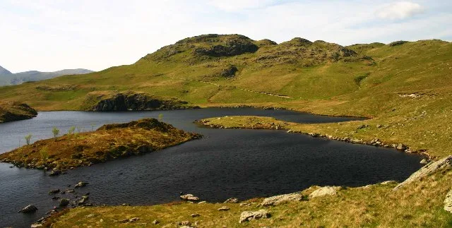
Angletarn Pikes South Top
Angletarn Pikes South Top — Named summit at 563.6 m.
 📷 3
📷 3Mountains & hills · North East England
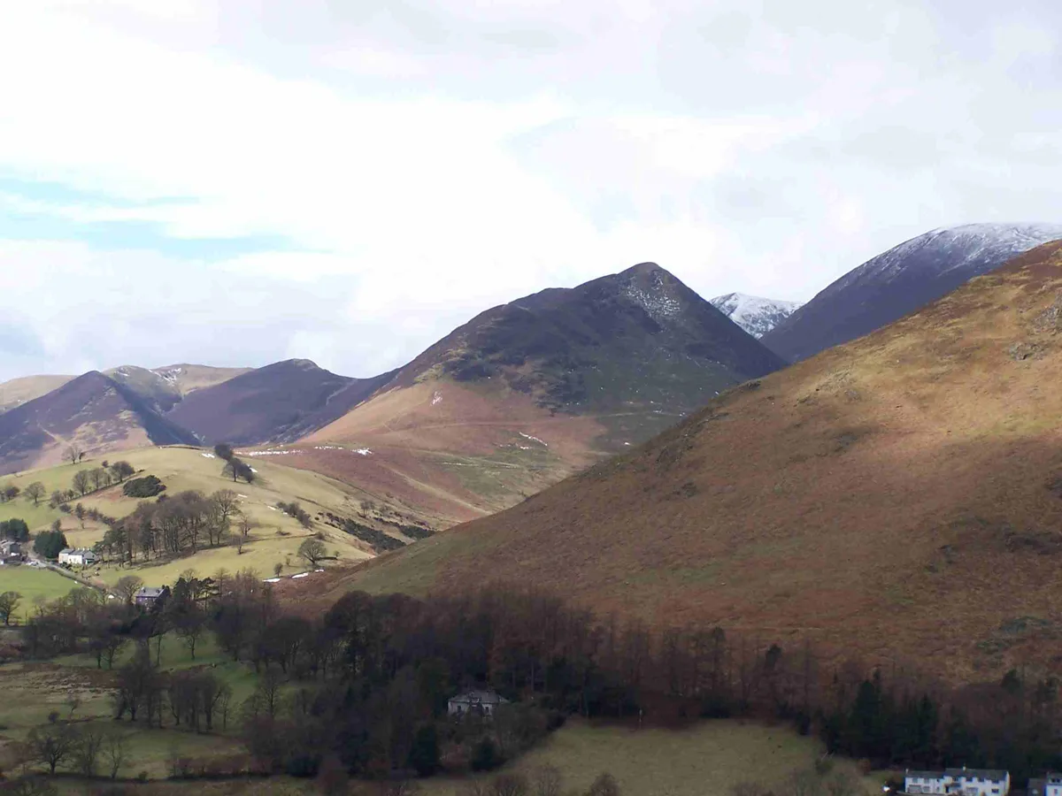
Ard Crags
Ard Crags — Named summit at 581 m.
 📷 3
📷 3Mountains & hills · North East England
Arnison Crag
Arnison Crag — Named summit at 433 m.
Frequently asked questions
- Where is Gowbarrow Fell (Wainwright)?
- Gowbarrow Fell (Wainwright) is in North-East England, United Kingdom (postcode CA11 0LE), in the parish of Matterdale.
- What is Gowbarrow Fell (Wainwright)?
- Gowbarrow Fell (Wainwright) — Named summit at 481.1 m.
- How do I get to Gowbarrow Fell (Wainwright)?
- The nearest railway station is Threlkeld Quarry, about 8.4 km away. Drivers can use postcode CA11 0LE.
- Is Gowbarrow Fell (Wainwright) a protected site?
- Yes — Gowbarrow Fell (Wainwright) is part of the River Eden and Tributaries SSSI Site of Special Scientific Interest.
- Is Gowbarrow Fell (Wainwright) free to visit?
- Yes, Gowbarrow Fell (Wainwright) is free to enter.
- How do I get to Gowbarrow Fell (Wainwright)?
- Drivers can navigate to postcode CA11 0LE. It sits within the Westmorland and Lonsdale parliamentary constituency.