
Reservoirs & lochs · Scottish Highlands
Glendoe Hydro Scheme
In or near Fort Augustus.
Glendoe Hydro Scheme in Scotland Islands, United Kingdom.

Donald Noble — CC BY-SA 2.0 via Wikimedia Commons licence

Plan your visit
- Typical visit
- 1 h–2.5 h
- Free entry
- Dog-friendly
- Limited wheelchair access
About
Glendoe Hydro Scheme is a place of interest in Scotland Islands, United Kingdom — drawn from open-data sources for visitor reference. See the linked Wikipedia article for the full description.
Photo gallery
From the Wikipedia article
The Glendoe Hydro Scheme for the generation of hydro-electric power is located in the Monadhliath Mountains near Fort Augustus, above Loch Ness in the Highlands of Scotland. The change in financial incentives following the publication of the Renewables Obligation in 2001 caused Scottish and Southern Energy (SSE) to reconsider a number of schemes that had been mothballed in the 1960s by the North of Scotland Hydro-Electric Board, and plans for the Glendoe scheme were resurrected. Construction started in 2006, and Hochtief completed the scheme in 2009. It is operated by SSE and was opened on 29 June 2009 by Queen Elizabeth, accompanied by the Duke of Edinburgh. Part of the main headrace tunnel collapsed in August 2009, and remedial work was not completed until 2012, with generation restarting in April. SSE and Hochtief failed to agree on who was responsible for the cost of the failure, but SSE were awarded damages in 2018 in the court of appeal, despite an adjudication and the first court case finding that the cost was an operational risk to be borne by SSE.
Excerpt from Wikipedia under CC BY-SA 4.0. See the source article linked in Sources below.
Background
History
The completion of several schemes by the North of Scotland Hydro-Electric Board in the early 1960s brought to an end over two decades of expansion of conventional hydro-electricity in the Highlands of Scotland. Subsequently, Cruachan was commissioned in 1968, and Foyers in 1974, but both of these were pumped storage schemes. In 2001, the Scottish Parliament set an objective of increasing the proportion of electricity generated from renewable sources to 18 per cent by 2010, as part of their Scottish Climate Change Programme. The publication of the Renewables Obligation in 2001 made any new hydro-electric scheme eligible under the incentive, whereas previously only those under 10 Megawatts…
Architecture
A ceremony attended by Tony Blair, the British prime minister, and Jack McConnell, the First Minister of Scotland, marked the formal start of construction. They detonated an explosive charge, to begin the reshaping of the valley. A reservoir for the scheme was created by building a dam across the River Tarff. The dam is 3150 ft long, and some 115 ft high where it crosses the original course of the river, but much lower at the sides. It is a rock fill dam, with most of the rock coming from a quarry which was flooded as the reservoir filled with water. The upstream side is faced with concrete, while the downstream side is exposed rock. The dam cannot be seen from any of the houses and public…
Sourced from Wikipedia under CC BY-SA 4.0.
- Coordinates
- 57.0930, -4.5560
- Address
- Scottish Highlands
- Established
- 2006
Sources
- wikidata: Q5568417 (CC0)
- wikipedia: Glendoe Hydro Scheme (CC BY-SA 4.0)
Other places nearby

Carn a' Chuilinn Far East Top
Mountains & hills · 1.7 km

Carn a' Chuilinn East Top
Mountains & hills · 2.1 km

Carn a' Chuilinn - Creag an Fhir-eoin
Mountains & hills · 2.4 km

Bac nam Fuaran
Mountains & hills · 2.7 km

A' Chraidhleag
Mountains & hills · 2.9 km

Gairbeinn - Meall Caca
Mountains & hills · 3.3 km

Creag Coire Doe South Top
Mountains & hills · 3.3 km

Gairbeinn North Top
Mountains & hills · 3.4 km

Meall Caca
Mountains & hills · 3.4 km

Carn a' Chuilinn
Mountains & hills · 3.6 km
Càrn a' Chuilinn
Mountains & hills · 3.6 km

Creag Coire Doe
Mountains & hills · 3.6 km
Nearby
📷 3Mountains & hills · Scottish Highlands
Carn a' Chuilinn Far East Top
Carn a' Chuilinn Far East Top — a mountain in scotland-highlands, United Kingdom.
📷 3Mountains & hills · Scottish Highlands
Carn a' Chuilinn East Top
Carn a' Chuilinn East Top — a mountain in scotland-highlands, United Kingdom.
📷 5Mountains & hills · Scottish Highlands
Carn a' Chuilinn - Creag an Fhir-eoin
Carn a' Chuilinn - Creag an Fhir-eoin — a mountain in scotland-highlands, United Kingdom.
📷 5Mountains & hills · Scottish Highlands
Bac nam Fuaran
Bac nam Fuaran — mountain in scotland highlands. Elevation: 833 m.
📷 5Mountains & hills · Scottish Highlands
A' Chraidhleag
A' Chraidhleag — a mountain in scotland-highlands, United Kingdom.
Mountains & hills · Scottish Highlands
Gairbeinn - Meall Caca
Gairbeinn - Meall Caca — a mountain in scotland-highlands, United Kingdom.
Where to eat & stay near Glendoe Hydro Scheme
Places to stay
 📷 5
📷 5Hotels · Scottish Highlands
Caledonian Hotel
Caledonian Hotel — a hotel in scotland highlands.
 📷 5
📷 5Hostels · Scottish Highlands
Morag’s Lodge
Morag’s Lodge — a hostel in scotland highlands.
 📷 5
📷 5 📷 5
📷 5 📷 5
📷 5 📷 5
📷 5Caravan parks · Scottish Highlands
Loch Ness Holiday Park
Loch Ness Holiday Park — a caravan park in scotland highlands.
Places to eat & drink
 📷 5
📷 5Historic pubs · Scottish Highlands
The Lovat Hotel
The Lovat Hotel in Scotland Highlands, United Kingdom.
More places in this region
 Flagship📷 3
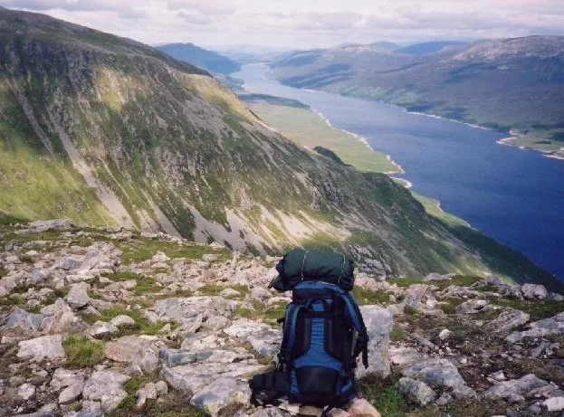
Reservoirs & lochs · Scottish Highlands
Loch Ericht
Loch Ericht — lake in Perth and Kinross, and Highland, Scotland, UK, outflows to River Ericht.
 Flagship📷 3
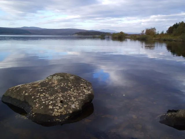
Reservoirs & lochs · Scottish Highlands
Loch Shin
Loch Shin — reservoir in Highland, Scotland, UK, outflows to the River Shin.
 📷 4
📷 4Reservoirs & lochs · Scottish Highlands
Backwater Reservoir
Backwater Reservoir — lake in Angus, Scotland, UK.
 📷 3
📷 3Reservoirs & lochs · Scottish Highlands
Blackwater Reservoir
Blackwater Reservoir — reservoir in Highland, Scotland, UK, outflows to the River Leven.
Frequently asked questions
- Where is Glendoe Hydro Scheme?
- Glendoe Hydro Scheme is in the Scottish Highlands, United Kingdom.
- What is Glendoe Hydro Scheme?
- Glendoe Hydro Scheme in Scotland Islands, United Kingdom.
- How do I get to Glendoe Hydro Scheme?
- The nearest town is Fort Augustus. Its coordinates are 57.0930°, -4.5560°.
- When was Glendoe Hydro Scheme built?
- Built or established in 2006.
- Who owns Glendoe Hydro Scheme?
- Glendoe Hydro Scheme is owned by Scottish and Southern Energy.
- Is Glendoe Hydro Scheme free to visit?
- Yes, Glendoe Hydro Scheme is free to enter.