Natural landmarks · North East England
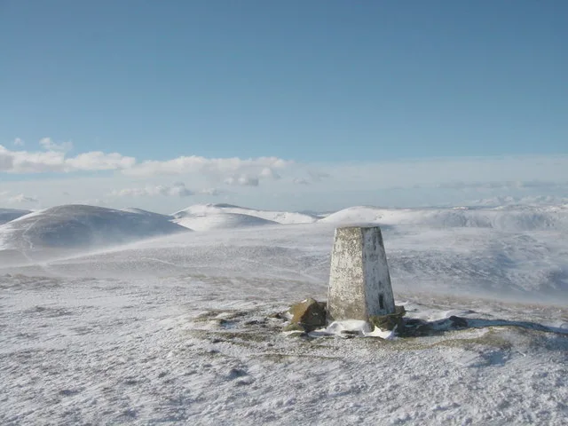
Gilling West Wapentake
In or near West Layton.
Gilling West Wapentake in England North East, United Kingdom.

Andy Waddington — CC BY-SA 2.0 via Wikimedia Commons licence
Plan your visit
- Typical visit
- 1 h–2 h
- Free entry
- Dog-friendly
About
Gilling West Wapentake is a place of interest in England North East, United Kingdom — drawn from open-data sources for visitor reference. See the linked Wikipedia article for the full description.
Photo gallery
From the Wikipedia article
Gilling West was a wapentake in the North Riding of Yorkshire. It was bounded by Gilling East to the east; and by Hang East and Hang West to the south; County Durham to the north; with Westmorland to the west. In 1831, it had a population of 17,471. It was one of 12 wapentakes of the old North Riding of Yorkshire, and it contained the parishes of Arkengarthdale, Barningham, Bowes, Brignall, Easby, Forcett, Gilling, Hutton Magna, Kirby Ravensworth, Marrick, Marske, Melsonby, Romaldkirk, Stanwick, Wycliffe, Rokeby, and Startforth.
Excerpt from Wikipedia under CC BY-SA 4.0. See the source article linked in Sources below.
- Coordinates
- 54.4780, -1.8030
- District
- North Yorkshire
- Parish
- Dalton
- Postcode
- DL11 7HE
- Parliamentary constituency
- Richmond and Northallerton
Sources
- wikidata: Q132168386 (CC0)
- wikipedia: Gilling West (wapentake) (CC BY-SA 4.0)
Other places nearby
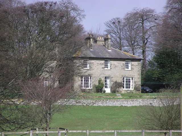
Dunsa Manor
Stately homes · 0.4 km

Bridge Over Holme Beck Approximately 120 Metres North-West Of Mill Farmhouse
Historic bridges · 1.5 km

West Layton
Towns & cities · 1.5 km

St James
Historic churches · 1.6 km

Dalton
Towns & cities · 1.6 km
Holme Bridge Over Holme Beck
Historic bridges · 1.6 km
Dalton Mill
Watermills · 1.8 km

Gayles
Historic houses · 1.8 km
Ravensworth
Other places · 1.8 km

Dalton Hall
Historic houses · 1.8 km

Ravensworth Castle Gatehouse
Castles · 2.0 km

Ravensworth motte and bailey castle, water defence features, park pale and shrunken medieval village
Literary houses · 2.1 km
Nearby
Flagship📷 3Stately homes · Yorkshire & the Humber
Dunsa Manor
Dunsa Manor — manor house in Dalton, Richmondshire, North Yorkshire, England, UK.
📷 3Historic bridges · Yorkshire & the Humber
Bridge Over Holme Beck Approximately 120 Metres North-West Of Mill Farmhouse
Bridge Over Holme Beck Approximately 120 Metres North-West Of Mill Farmhouse — Grade II listed building-listed bridge in england-yorkshire, United Kingdom.
📷 4Towns & cities · Yorkshire & the Humber
West Layton
West Layton — village in North Yorkshire, England, UK.
📷 4📷 3Towns & cities · Yorkshire & the Humber
Dalton
Dalton — village and civil parish near Richmond, North Yorkshire, England, UK.
📷 3Historic bridges · Yorkshire & the Humber
Holme Bridge Over Holme Beck
Holme Bridge Over Holme Beck — Grade II listed building-listed bridge in england-yorkshire, United Kingdom.
Where to eat & stay near Gilling West Wapentake
Places to stay
 📷 5
📷 5Caravan parks · Yorkshire & the Humber
Tavern House Caravan Park
Tavern House Caravan Park — a caravan park in england yorkshire.
 📷 5
📷 5Campsites · North East England
Thorpe Farm Centre Campsite
Thorpe Farm Centre Campsite — a campsite in england north east.
 📷 5
📷 5Hotels · North East England
The Morritt Hotel & Garage Spa
The Morritt Hotel & Garage Spa — a hotel in england north east.
 📷 5
📷 5Caravan parks · North East England
Hillcrest Caravan Park
Hillcrest Caravan Park — a caravan park in england north east.
 📷 5
📷 5Caravan parks · Yorkshire & the Humber
Richmond Hargill House Caravan Club Site
Richmond Hargill House Caravan Club Site — a caravan park in england yorkshire.
 📷 5
📷 5Places to eat & drink
 📷 5
📷 5Historic pubs · North East England
Milbank Arms
Milbank Arms in England North East, United Kingdom.
 📷 4
📷 4Historic pubs · North East England
The Bar
The Bar in England North East, United Kingdom.
 📷 5
📷 5Historic pubs · North East England
Blue Bell Public House
Blue Bell Public House in England North East, United Kingdom.
 📷 5
📷 5Historic pubs · North East England
Turk's Head Public House
Turk's Head Public House in England North East, United Kingdom.
 📷 5
📷 5 📷 5
📷 5Historic pubs · North East England
The White Swan Public House And Swan Cottage
The White Swan Public House And Swan Cottage in England North East, United Kingdom.
More natural landmarks in this region
 📷 4
📷 4Natural landmarks · North East England
Cleveland Way
109-mile horseshoe trail around the North York Moors and its sea cliffs.
 📷 3
📷 3Natural landmarks · North East England
The Hand Stone
The Hand Stone — a other in england-yorkshire, United Kingdom.
 📷 3
📷 3Natural landmarks · North East England
The Face Stone
The Face Stone — a other in england-yorkshire, United Kingdom.
 📷 3
📷 3Frequently asked questions
- Where is Gilling West Wapentake?
- Gilling West Wapentake is in North-East England, United Kingdom (postcode DL11 7HE), in the parish of Dalton.
- What is Gilling West Wapentake?
- Gilling West Wapentake in England North East, United Kingdom.
- How do I get to Gilling West Wapentake?
- Drivers can use postcode DL11 7HE.
- Is Gilling West Wapentake free to visit?
- Yes, Gilling West Wapentake is free to enter.
- How do I get to Gilling West Wapentake?
- Drivers can navigate to postcode DL11 7HE. It sits within the Richmond and Northallerton parliamentary constituency.