
Caves · North West England
Gaping Gill
Also known as: Gaping Ghyll
In or near Clapham.
Gaping Gill is a cave in the United Kingdom.

Wikimedia Commons contributors — see linked file page for photographer and licence licence

Plan your visit
- Typical visit
- 45 min–1.5 h
- Nearest railway station
- Clapham · 5.2 km
- Free entry
- Family-friendly
- Dog-friendly
Getting there & planning your visit
To visit Gaping Gill, the nearest railway station is Clapham, which is 5.2 km away. Entry is free, and the location is accessible via postcode LA2 8EE.
About
Gaping Gill is a named cave entrance in the United Kingdom. Also known as: Gaping Ghyll. Coordinates: 54.1494°, -2.3826°. This entry is part of The Great Britain Guide, a free, ad-free, open-data tourist directory.
Photo gallery
Official information
Gaping Gill is a cave system that offers managed access for cavers throughout the year. Visitors must book in advance to explore its popular entrances and routes, ensuring a safe and organized experience.
Protected designations
- Site of Special Scientific Interest: Ingleborough SSSI
- National Nature Reserve: INGLEBOROUGH
Designations sourced from Natural England open data under OGL v3.
From the Wikipedia article
Gaping Gill (also known as Gaping Ghyll) is a natural cave in North Yorkshire, England. It is one of the unmistakable landmarks on the southern slopes of Ingleborough – a 98-metre (322 ft) deep pothole with the stream Fell Beck flowing into it. After falling through one of the largest known underground chambers in Britain, the water disappears into the bouldery floor and eventually resurges adjacent to Ingleborough Cave. The shaft was the deepest known in Britain, until Titan in Derbyshire was discovered in 1999. Gaping Gill still retains the records for the highest freefall waterfall in the UK and the largest underground chamber naturally open to the surface.
Excerpt from Wikipedia under CC BY-SA 4.0. See the source article linked in Sources below.
Background
Description
Due to the number of entrances which connect into the cave, many different routes through and around the system are possible. Other entrances include Jib Tunnel, Disappointment Pot, Stream Passage Pot, Bar Pot, Hensler's Pot, Corky's Pot, Rat Hole, and Flood Entrance Pot. The Bradford Pothole Club around Whitsun May Bank Holiday, and the Craven Pothole Club around August Bank Holiday, each set up a winch above the shaft to provide a ride to the bottom and back out again for any member of the public who pays a fee. A detailed 3D model of the chamber has been created using an industrial laser rangefinder which showed that its volume is comparable to the size of York Minster.
Sourced from Wikipedia under CC BY-SA 4.0.
- Coordinates
- 54.1494, -2.3826
- District
- North Yorkshire
- Parish
- Clapham cum Newby
- Postcode
- LA2 8EE
- Parliamentary constituency
- Skipton and Ripon
- Nearest railway station
- Clapham — 5.2 km
Sources
- osm: n12788657 (ODbL)
- wikipedia: Gaping Gill (CC BY-SA 4.0)
- commons: Gaping Gill main chamber - geograph.org.uk - 227709.jpg (CC BY-SA 4.0)
Other places nearby
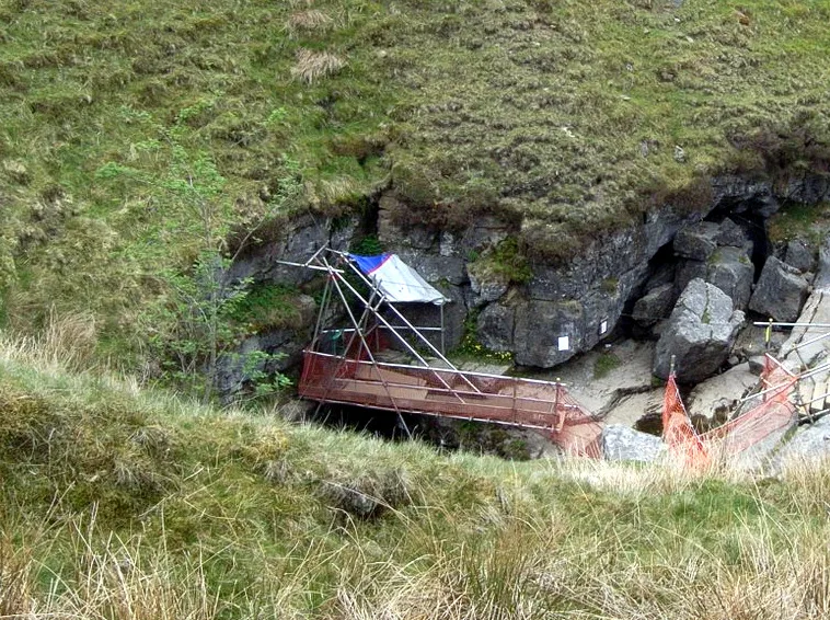
Jib Tunnel
Mountains & hills · 0.0 km
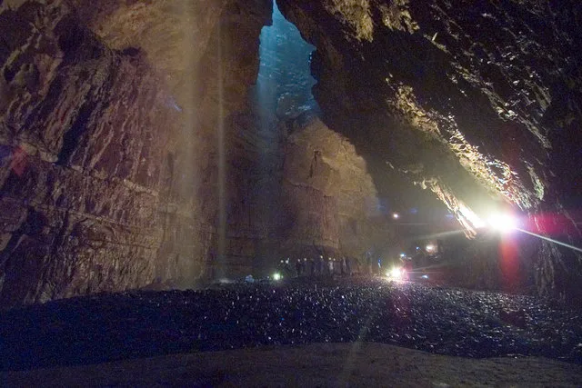
Gaping Gill
Mountains & hills · 0.0 km

Rat Hole, Gaping Gill
Caves · 0.0 km

Disappointment Pot
Caves · 0.1 km

Corkys Pot
Caves · 0.2 km

Henslers Pot
Caves · 0.2 km

Wades Entrance
Caves · 0.3 km

Flood Entrance Pot
Caves · 0.3 km
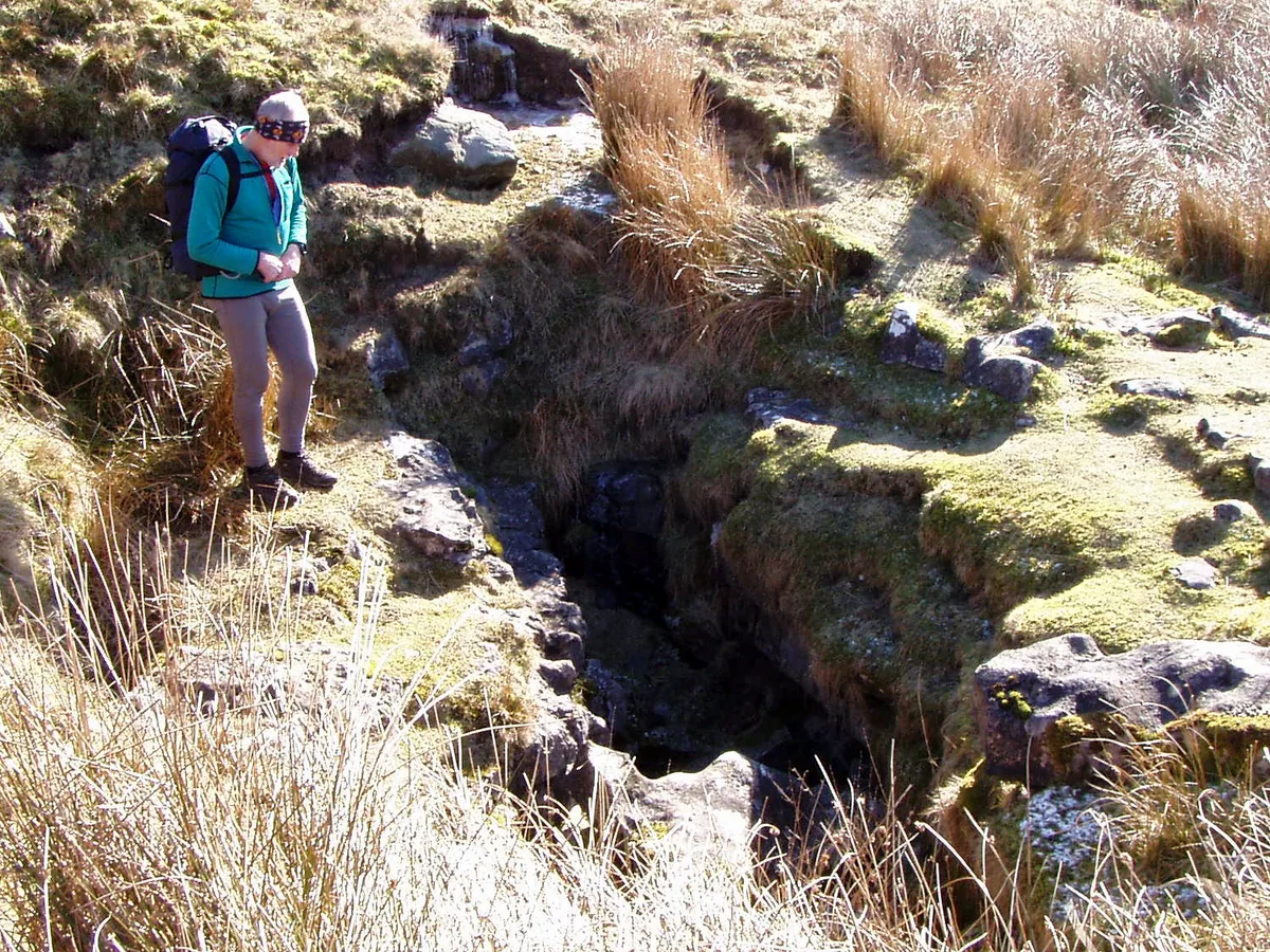
Flood Entrance Pot
Mountains & hills · 0.3 km
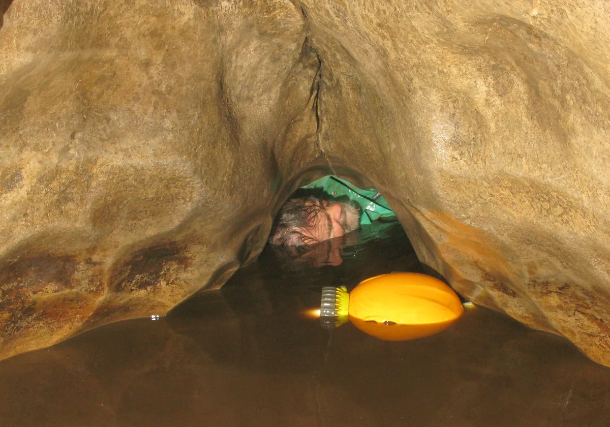
Disappointment Pot
Mountains & hills · 0.3 km
Marilyn
Caves · 0.3 km

Stream Passage Pot
Caves · 0.3 km
Nearby
📷 3Mountains & hills · North West England
Jib Tunnel
Jib Tunnel is a mountain or hill in the United Kingdom.
📷 5📷 5Caves · North West England
Rat Hole, Gaping Gill
Rat Hole, Gaping Gill — a cave broad in england-north-west, United Kingdom.
📷 3Caves · North West England
Disappointment Pot
Disappointment Pot is a cave in the United Kingdom.
📷 5Caves · North West England
Corkys Pot
Corkys Pot — a cave broad in england-north-west, United Kingdom.
📷 5Caves · North West England
Henslers Pot
Henslers Pot — a cave broad in england-north-west, United Kingdom.
Where to eat & stay near Gaping Gill
Places to stay
 📷 5
📷 5 📷 5
📷 5Campsites · North West England
Silloth House Campsite
Silloth House Campsite — a campsite in england north west.
 📷 5
📷 5Hotels · North West England
The Traddock
The Traddock — a hotel in england north west.
 📷 5
📷 5Campsites · North West England
The Dalesbridge
The Dalesbridge — a campsite in england north west.
 📷 5
📷 5Campsites · North West England
Moorgarth Farm Campsite
Moorgarth Farm Campsite — a campsite in england north west.
 📷 5
📷 5Places to eat & drink
 📷 5
📷 5Cafés · North West England
Lakehouse Food & Drink
Lakehouse Food & Drink — a café in england north west.
 📷 5
📷 5Restaurants · North West England
The Game Cock Inn
The Game Cock Inn — a restaurant in england north west. Cuisine: french;english.
 📷 5
📷 5Historic pubs · North West England
Horse And Farrier Inn
Horse And Farrier Inn in England North West, United Kingdom.
 📷 5
📷 5Historic pubs · North West England
Punch Bowl Hotel
Punch Bowl Hotel in England North West, United Kingdom.
 📷 5
📷 5 📷 6
📷 6Historic pubs · North West England
Falcon Manor Hotel
Falcon Manor Hotel in England North West, United Kingdom.
More caves in this region
 📷 3
📷 3 📷 3
📷 3 📷 3
📷 3 📷 3
📷 3Caves · North West England
Austwick Beck Head
Austwick Beck Head is a cave in the United Kingdom.
Frequently asked questions
- Where is Gaping Gill?
- Gaping Gill is in North-West England, United Kingdom (postcode LA2 8EE), in the parish of Clapham cum Newby.
- What is Gaping Gill?
- Gaping Gill is a cave in the United Kingdom.
- How do I get to Gaping Gill?
- The nearest railway station is Clapham, about 5.2 km away. The nearest town is Clapham. Drivers can use postcode LA2 8EE.
- Is Gaping Gill a protected site?
- Yes — Gaping Gill is part of the Ingleborough SSSI Site of Special Scientific Interest and the INGLEBOROUGH National Nature Reserve.
- Is Gaping Gill free to visit?
- Yes, Gaping Gill is free to enter.
- How do I get to Gaping Gill?
- The nearest railway station is Clapham, about 5.2 km away. Drivers can navigate to postcode LA2 8EE.