
Memorials & monuments · East of England
Gamlingay War Memorial
In or near Cockayne Hatley.
Gamlingay War Memorial — Grade II listed building-listed memorial in england-london, United Kingdom.

John Sutton — CC BY-SA 2.0 via Wikimedia Commons licence

Plan your visit
- Typical visit
- 15 min–45 min
- Nearest railway station
- Sandy · 7.3 km
- Free entry
- Dog-friendly
Getting there & planning your visit
To visit Gamlingay War Memorial, the nearest railway station is Sandy, which is 7.3 km away. The postcode for sat-nav is SG19 3ER, and entry is free.
About
Gamlingay War Memorial is a Grade II listed building-listed memorial in england-london, United Kingdom, registered on the National Heritage List for England (NHLE entry 1438435). Listed status protects buildings and structures of special architectural or historic interest. See the linked Wikipedia article for further details.
Photo gallery
Heritage listing
Details First World War memorial, unveiled and dedicated in 1920, with Second World War additions. MATERIALS: of Cornish granite. PLAN: it is octagonal on plan. DESCRIPTION: the memorial stands in the sensory garden at St Mary's Field Cemetery, which opened in 2016. It comprises a two-stepped octagonal base, of which the bottom step is of concrete, surmounted by an octagonal plinth. From the plinth a tall shaft tapers in octagonal section to a Latin cross with knops at the terminals. The top of the shaft is carved with small, blind, trefoil-headed lancets set between bands of carved oak leaves. The plinth's NW face bears the First World War dedicatory inscription which reads 'THE GREAT WAR / 1914 - 1919. / TO THE GLORY OF GOD / AS A TESTIMONY OF / EFFORT NOBLY / WROUGHT / AND IN MEMORY OF / OUR FALLEN '. Immediately below is a quotation from Homer's Iliad which reads "HE SERVES ME MOST WHO / SERVES HIS COUNTRY BEST." The names of the 65 men who died are inscribed on the remaining five faces of the plinth. Below the First World War dedication, the base of the plinth is inscribed '1939 - 1945', with the names of the 14 men who died during the Second World War inscribed across the other five faces of the plinth's base. This List entry has been amended to add the source for War Memorials Online. This source was not used in the compilation of this List entry but is added here as a guide for further reading, 21 March 2017.
From the Historic England List Entry under OGL v3.
Place summary
Gamlingay War Memorial is a Grade II listed building located in London. It serves as a commemorative structure dedicated to those who served in the armed forces.
AI-generated from the structured facts on this page (operator, designation, listing, era). Not a substitute for visiting.
- Coordinates
- 52.1549, -0.1855
- County
- Cambridgeshire
- District
- South Cambridgeshire
- Parish
- Gamlingay
- Postcode
- SG19 3ER
- Parliamentary constituency
- South Cambridgeshire
- Nearest railway station
- Sandy — 7.3 km
Sources
- wikidata: Q66477973 (CC0)
Other places nearby

Gamlingay
Villages · 0.5 km
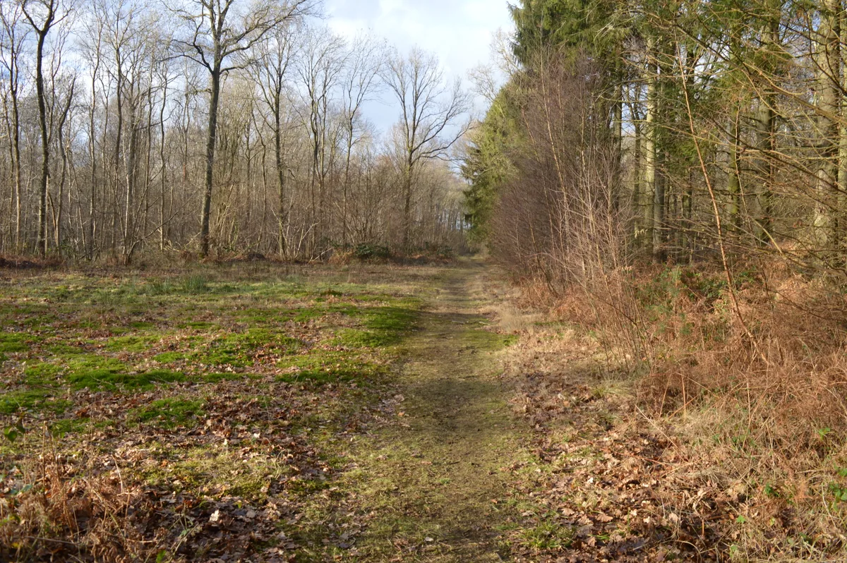
Gamlingay Wood
Wildlife reserves · 1.1 km
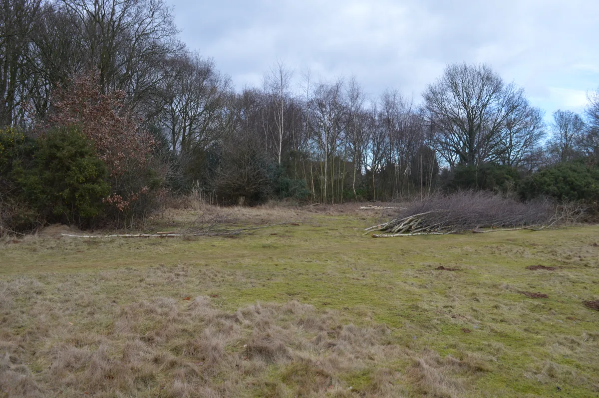
Gamlingay Cinques Common
Wildlife reserves · 1.7 km

The Old Churchyard
Cemeteries · 2.4 km

cross
Memorials & monuments · 2.4 km

Waresley
Villages · 2.4 km

Duncombe Arms Public House
Historic pubs · 2.4 km

Gamlingay Meadows
Wildlife reserves · 2.4 km
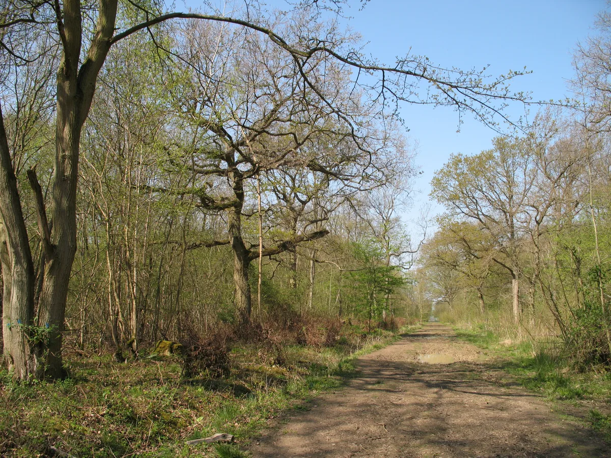
Gransden and Waresley Woods
Wildlife reserves · 3.1 km

Cockayne Hatley
Towns & cities · 3.2 km
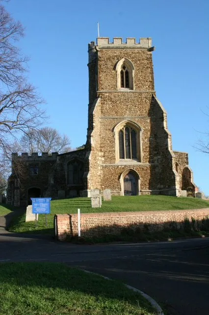
Church of St Mary, Potton
Historic churches · 3.3 km

Hatley Saint George
Villages · 3.5 km
Nearby
📷 5📷 5Wildlife reserves · East of England
Gamlingay Wood
Gamlingay Wood — nature reserve in the United Kingdom.
📷 5Wildlife reserves · East of England
Gamlingay Cinques Common
Gamlingay Cinques Common — nature reserve in the United Kingdom.
📷 5Cemeteries · East of England
The Old Churchyard
The Old Churchyard is a cemetery in the United Kingdom.
📷 5📷 5Where to eat & stay near Gamlingay War Memorial
Places to stay
 📷 5
📷 5Campsites · East of England
Great Gransden Campsite
Great Gransden Campsite — a campsite in england london.
 📷 5
📷 5Caravan parks · East of England
Caravan Club Site (members)
Caravan Club Site (members) — a caravan park in england london.
 📷 5
📷 5Caravan parks · East of England
St Neots Mobile Home Park
St Neots Mobile Home Park — a caravan park in england london.
 📷 5
📷 5 📷 5
📷 5Campsites · East of England
St Neots Camping and Caravanning Club
St Neots Camping and Caravanning Club — a campsite in england london.
 📷 5
📷 5Places to eat & drink
📷 5Historic pubs · East of England
Duncombe Arms Public House
Duncombe Arms Public House in England East, United Kingdom.
 📷 5
📷 5Historic pubs · East of England
The Plough Public House With Attached Stables And Hayloft
The Plough Public House With Attached Stables And Hayloft in England East, United Kingdom.
 📷 5
📷 5Restaurants · East of England
The Red House
The Red House — a restaurant in england london.
 📷 5
📷 5Historic pubs · East of England
Kings Arms Public House
Kings Arms Public House in England East, United Kingdom.
 📷 5
📷 5 📷 5
📷 5More memorials in this region
 📷 5
📷 5Memorials & monuments · East of England
386th B.G.(M), 9th Air Force USAAF Memorial
386th B.G.(M), 9th Air Force USAAF Memorial is a memorial in the United Kingdom.
 📷 5
📷 5Memorials & monuments · East of England
Ailesbury Mausoleum
Ailesbury Mausoleum is a memorial in the United Kingdom.
 📷 5
📷 5Memorials & monuments · East of England
Archie F. Daniels Memorial
Archie F. Daniels Memorial is a memorial in the United Kingdom.
 📷 5
📷 5Memorials & monuments · East of England
Barnwell War Memorial
Barnwell War Memorial is a memorial in the United Kingdom.
Frequently asked questions
- Where is Gamlingay War Memorial?
- Gamlingay War Memorial is in Cambridgeshire, London, United Kingdom (postcode SG19 3ER), in the parish of Gamlingay.
- What is Gamlingay War Memorial?
- Gamlingay War Memorial — Grade II listed building-listed memorial in england-london, United Kingdom.
- How do I get to Gamlingay War Memorial?
- The nearest railway station is Sandy, about 7.3 km away. Drivers can use postcode SG19 3ER.
- Is Gamlingay War Memorial a listed building?
- Gamlingay War Memorial is officially recognised as Grade II listed building listed.
- Is Gamlingay War Memorial free to visit?
- Yes, Gamlingay War Memorial is free to enter.
- How do I get to Gamlingay War Memorial?
- The nearest railway station is Sandy, about 7.3 km away. Drivers can navigate to postcode SG19 3ER.