
Villages · South East England
Four Marks
In or near Medstead.
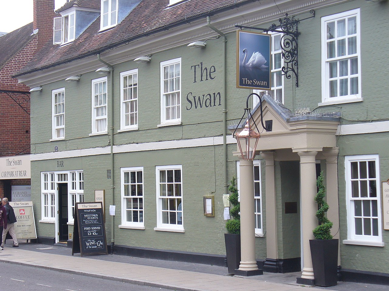
Four Marks — a village in england south east.

David Smith — CC BY-SA 2.0 via Wikimedia Commons licence

Plan your visit
- Typical visit
- 1 h–2 h
- Nearest railway station
- Medstead and Four Marks · 0.7 km
About
A British village — settlements of this size traditionally cluster a green, parish church, pub and post office around historic land routes.
Photo gallery
Place summary
Four Marks is a village located in South-East England, with a population of 5,674. It is primarily a residential area, characterised by its rural surroundings and community amenities. The village offers a range of local services and facilities typical of small English settlements, catering to the needs of its residents and visitors alike.
AI-generated from the structured facts on this page (operator, designation, listing, era). Not a substitute for visiting.
- Coordinates
- 51.1073, -1.0494
- County
- Hampshire
- District
- East Hampshire
- Parish
- Four Marks
- Postcode
- GU34 5BA
- Parliamentary constituency
- East Hampshire
- Population
- 5,674
- Nearest railway station
- Medstead and Four Marks — 0.7 km
Sources
- manual: geonames-2649132 (CC BY 4.0)
Other places nearby

St Swithun's Way
Military museums · 0.8 km

Red Hill
Mountains & hills · 1.4 km

Red Hill
Mountains & hills · 1.5 km

Four Marks
Mountains & hills · 1.6 km

Mid-Hants Railway (Watercress Line)
Heritage railways · 2.2 km

Dry Hill
Mountains & hills · 2.3 km

Medstead
Towns & cities · 2.7 km

Medstead War Memorial
Memorials & monuments · 2.7 km

Kings Hill
Mountains & hills · 3.0 km

Ropley
Towns & cities · 3.4 km

Rotherfield Park
Manor houses · 3.7 km

Bridge 50 Metres North Of The House
Historic bridges · 3.7 km
Nearby
📷 5Military museums · South East England
St Swithun's Way
St Swithun's Way — a military museum in england south east.
📷 5📷 5Mountains & hills · South East England
Red Hill
Red Hill — mountain in england south east. Elevation: 219 m.
📷 5Mountains & hills · South East England
Four Marks
Four Marks — a hill or mountain in england south east.
Flagship📷 10Heritage railways · South East England
Mid-Hants Railway (Watercress Line)
Hampshire's 10-mile preserved steam railway, named for the watercress beds.
📷 5Mountains & hills · South East England
Dry Hill
Dry Hill — mountain in england south east. Elevation: 202 m.
Where to eat & stay near Four Marks
Places to stay
 📷 5
📷 5 📷 5
📷 5Campsites · South East England
Watercress Lodges and Campsite
Watercress Lodges and Campsite — a campsite in england south east.
 📷 5
📷 5 📷 7
📷 7 📷 7
📷 7Hotels · South East England
Alton House Hotel
Alton House Hotel — a hotel in england south east.
 📷 5
📷 5Places to eat & drink
 📷 6
📷 6Historic pubs · South East England
Three Horseshoes Public House
Three Horseshoes Public House in England South East, United Kingdom.
 📷 5
📷 5 📷 5
📷 5Historic pubs · South East England
The 'Eight Bells' Public House
The 'Eight Bells' Public House in England South East, United Kingdom.
 📷 6
📷 6 📷 7
📷 7Historic pubs · South East England
The Selborne Arms
The Selborne Arms in England South East, United Kingdom.
 📷 7
📷 7Historic pubs · South East England
Horse And Groom
Horse And Groom in England South East, United Kingdom.
More places in this region
 📷 5
📷 5 📷 5
📷 5 📷 5
📷 5 📷 5
📷 5Frequently asked questions
- Where is Four Marks?
- Four Marks is in Hampshire, South-East England, United Kingdom (postcode GU34 5BA), in the parish of Four Marks.
- What is Four Marks?
- Four Marks — a village in england south east.
- How do I get to Four Marks?
- The nearest railway station is Medstead and Four Marks, about 0.7 km away. Drivers can use postcode GU34 5BA.
- How do I get to Four Marks?
- The nearest railway station is Medstead and Four Marks, about 0.7 km away. Drivers can navigate to postcode GU34 5BA.