
Waterfalls · North West England
Fordingdale Force
In or near Howtown.
Fordingdale Force — waterfall in england north east.

Michael Graham — CC BY-SA 2.0 via Wikimedia Commons licence

Plan your visit
- Typical visit
- 1 h–2 h
About
Fordingdale Force is a waterfall located in england north east. A British waterfall recorded in OpenStreetMap. Most are in upland country where rivers cross resistant rock.
Photo gallery
Protected designations
- Site of Special Scientific Interest: River Eden and Tributaries SSSI
Designations sourced from Natural England open data under OGL v3.
Place summary
Fordingdale Force is a waterfall located in North-East England. It features cascading water amidst a natural setting, offering a scenic view for visitors. The surrounding area is characterised by typical North-East landscapes, making it a notable natural feature in the region.
AI-generated from the structured facts on this page (operator, designation, listing, era). Not a substitute for visiting.
- Coordinates
- 54.5349, -2.8199
Sources
- osm: n6994514942 (ODbL)
Other places nearby

Low Kop
Mountains & hills · 0.8 km

High Kop
Mountains & hills · 1.2 km

The Forces
Waterfalls · 1.4 km
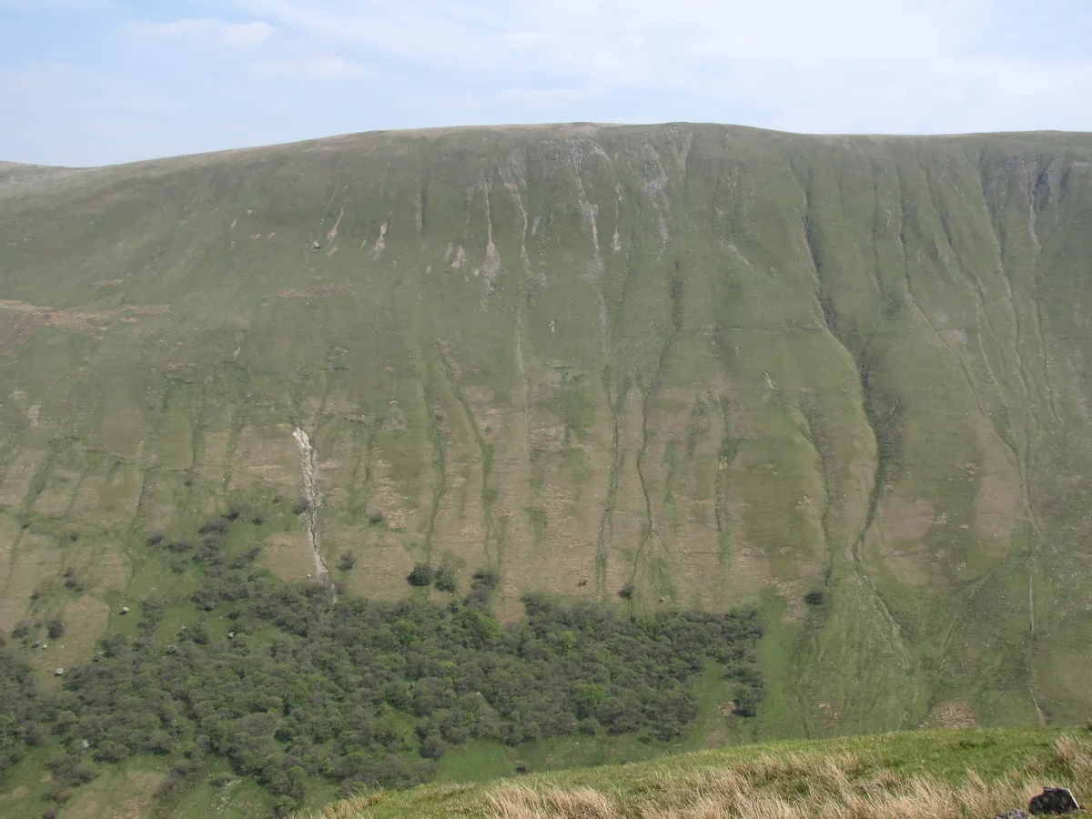
Wether Hill
Natural landmarks · 1.5 km

Wether Hill (summit)
Mountains & hills · 1.7 km
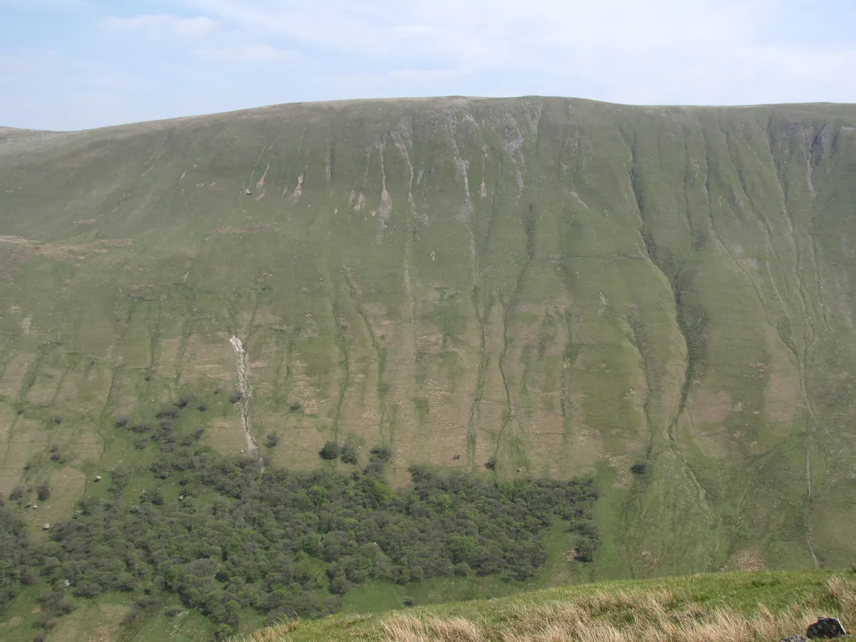
Wether Hill (Wainwright)
Mountains & hills · 1.7 km

Bampton Fell
Mountains & hills · 1.8 km

Measand
Natural landmarks · 1.8 km

Hawes Water
Lakes · 1.8 km

Haweswater Reservoir
Reservoirs & lochs · 2.0 km

Red Crag
Mountains & hills · 2.1 km
Four Stones Hill
Mountains & hills · 2.2 km
Nearby
📷 5Mountains & hills · North West England
Low Kop
Low Kop — mountain in england north east. Elevation: 572 m.
📷 5Mountains & hills · North West England
High Kop
High Kop — mountain in england north east. Elevation: 662 m.
📷 5📷 3Natural landmarks · North West England
Wether Hill
Wether Hill — mountain in Cumbria, England, UK.
📷 5Mountains & hills · North West England
Wether Hill (summit)
Wether Hill (summit) — mountain in england north east. Elevation: 675.7 m.
📷 3Mountains & hills · North West England
Wether Hill (Wainwright)
Wether Hill (Wainwright) — Named summit at 672.5 m.
Where to eat & stay near Fordingdale Force
Places to stay
 📷 5
 📷 5
Caravan parks · North West England
Cross Dormont Caravan Site
Cross Dormont Caravan Site — a caravan park in england north east.
 📷 5
 📷 5
Caravan parks · North West England
Hartsop Fold Holiday Lodges
Hartsop Fold Holiday Lodges — a caravan park in england north east.
 📷 5
Campsites · North West England
Cross Dormont Camp Site
Cross Dormont Camp Site — a campsite in england north east.
 📷 5
Caravan parks · North West England
Knotts Hill Lodge Park
Knotts Hill Lodge Park — a caravan park in england north east.
Places to eat & drink
 📷 5
Historic pubs · North West England
Horse And Farrier Inn And Stables
Horse And Farrier Inn And Stables in Scotland Lowlands, United Kingdom.
 📷 5
Historic pubs · North West England
Golden Rule Hotel
Golden Rule Hotel in England North West, United Kingdom.
 📷 7
Historic pubs · North West England
Two Lions public house and integral stables
Two Lions public house and integral stables in Scotland Lowlands, United Kingdom.
 📷 6
Historic pubs · North West England
Gloucester Arms
Gloucester Arms in Scotland Lowlands, United Kingdom.
 📷 7
Cafés · North West England
Narrowbar Cafe
Narrowbar Cafe — a café in scotland lowlands.
 📷 7
Historic pubs · North West England
The Travellers Rest
The Travellers Rest in England North West, United Kingdom.
More places in this region
 📷 5
Waterfalls · North West England
Two Penny Waterfall
Two Penny Waterfall — waterfall in england west midlands.
 📷 5
Waterfalls · North West England
Whorneyside Force
Whorneyside Force — waterfall in england north west.
 📷 5
 📷 5
Frequently asked questions
- Where is Fordingdale Force?
- Fordingdale Force is in North-West England, United Kingdom.
- What is Fordingdale Force?
- Fordingdale Force — waterfall in england north east.
- How do I get to Fordingdale Force?
- The nearest town is Howtown. Its coordinates are 54.5349°, -2.8199°.
- Is Fordingdale Force a protected site?
- Yes — Fordingdale Force is part of the River Eden and Tributaries SSSI Site of Special Scientific Interest.