
Mountains & hills · North Wales
Foel Y Geifr
Foel Y Geifr — Named summit at 626 m.

Wikimedia Commons contributors — see linked file page for photographer and licence licence

Plan your visit
- Typical visit
- 3 h–8 h
- Best time of year
- Late spring – early autumn (May–Oct)
- Nearest railway station
- Pentrepiod Halt · 5.6 km
- Free entry
- Dog-friendly
Getting there & planning your visit
To visit Foel Y Geifr, the nearest railway station is Pentrepiod Halt, located 5.6 km away. Admission is free.
About
Foel Y Geifr is a named summit in the United Kingdom. Wikidata describes it as: "Named summit at 626 m.". Coordinates: 52.8348°, -3.5792°.
Photo gallery
From the Wikipedia article
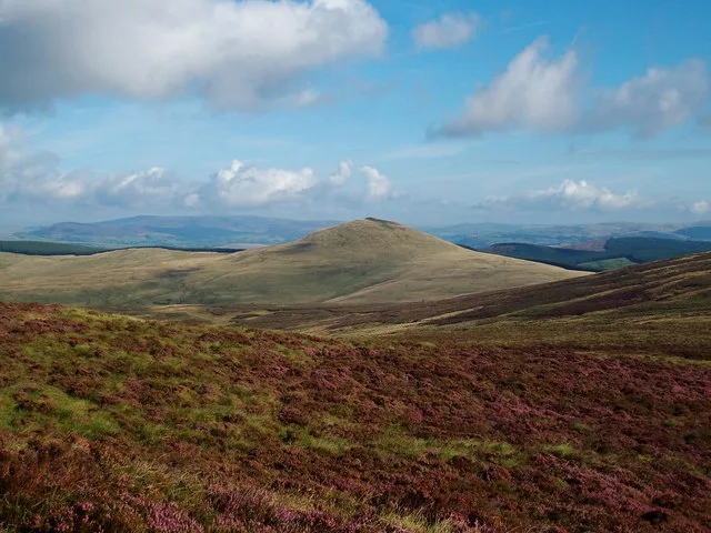
Foel y Geifr is a subsidiary summit of Esgeiriau Gwynion, and included in a group of hills known as the Hirnantau. These hills rise from the south east shores of Llyn Tegid (Bala Lake). Confusion arises when trying to establish to which mountain range these belong to. Since Foel y Geifr forms part of the Hirnant horseshoe, many consider it to be a Berwyn peak. However, geographically it belongs to the Aran Fawddwy group, its parent peak being Esgeiriau Gwynion. It is the eastern outpost of the Arans. The summit is grassy and has a trig point, while the terrain surrounding the summit is heathery and boggy. The summit is the highest in a ridge that forms the western backwall of Cwm Hirnant. Two other summit lie along the ridge: Trum y Gwragedd and the Hewitt Foel Goch (Hirnant). To the south-west lies Moel y Cerrig Duon, to the east lies Pen y Boncyn Trefeilw and Cyrniau Nod.
Excerpt from Wikipedia under CC BY-SA 4.0. See the source article linked in Sources below.
- Coordinates
- 52.8348, -3.5792
- Address
- Gwynedd, Wales
- Nearest railway station
- Pentrepiod Halt — 5.6 km
Sources
- osm: n3299572761 (ODbL)
- wikipedia: Foel y Geifr (CC BY-SA 4.0)
- commons: Foel y Geifr - geograph.org.uk - 647852.jpg (CC BY-SA 4.0)
Other places nearby
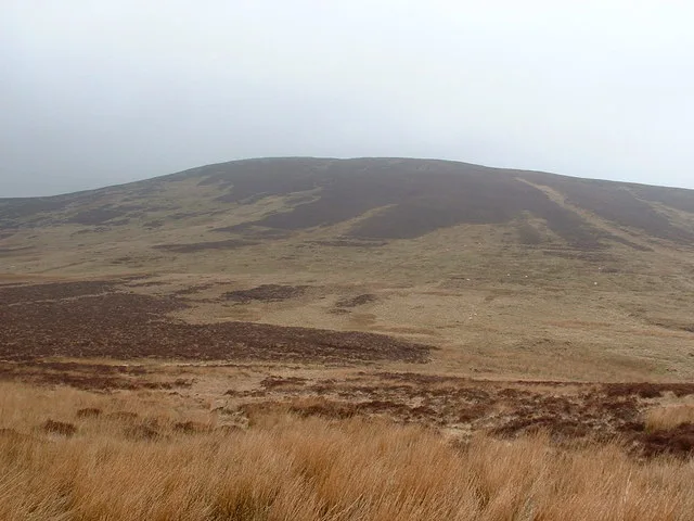
Foel y Geifr
Natural landmarks · 0.0 km

Foel Y Garnedd
Mountains & hills · 0.9 km
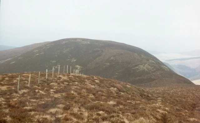
Trum y Gwragedd
Mountains & hills · 1.0 km

Mynydd Carnedd Hywel
Mountains & hills · 1.1 km
Pen Bryn-y-fawnog
Mountains & hills · 1.4 km

Cefn Coch
Mountains & hills · 1.6 km
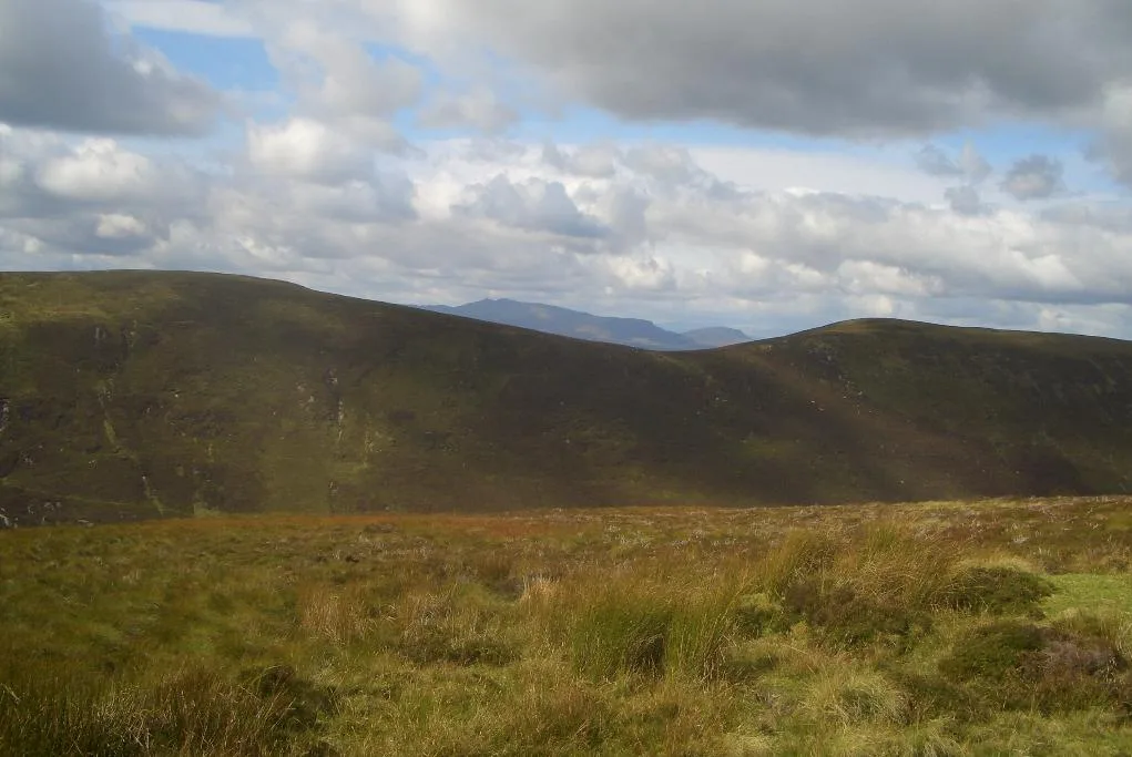
Foel Goch
Mountains & hills · 1.7 km
Foel Goch
Natural landmarks · 1.7 km

Pen y Cerrig Duon
Mountains & hills · 1.7 km

Craig Ddu
Mountains & hills · 2.0 km

Bwlan
Mountains & hills · 2.2 km
Foel Figenau
Mountains & hills · 2.3 km
Nearby
📷 3📷 5Mountains & hills · North Wales
Foel Y Garnedd
Foel Y Garnedd — mountain in wales north. Elevation: 532 m.
📷 3📷 5Mountains & hills · North Wales
Mynydd Carnedd Hywel
Mynydd Carnedd Hywel — mountain in wales north. Elevation: 570 m.
📷 5Mountains & hills · North Wales
Pen Bryn-y-fawnog
Pen Bryn-y-fawnog — mountain in wales north. Elevation: 590 m.
📷 5Where to eat & stay near Foel Y Geifr
Places to stay
 📷 5
📷 5 📷 5
📷 5Campsites · North Wales
Bwch-Yn-Uchaf Campsite
Bwch-Yn-Uchaf Campsite — a campsite in wales north.
 📷 5
📷 5Campsites · North Wales
Glanllyn Lakeside
Glanllyn Lakeside — a campsite in wales north.
📷 5 📷 5
📷 5Caravan parks · North Wales
Pen Y Garth Lodge Park
Pen Y Garth Lodge Park — a caravan park in wales north.
 📷 5
📷 5Places to eat & drink
 📷 7
📷 7Restaurants · North Wales
Palé Hall Hotel Restaurant
Palé Hall Hotel Restaurant — a restaurant in wales north. Cuisine: welsh;british;fine dining. 5-star.
 📷 5
📷 5 📷 7
📷 7 📷 7
📷 7 📷 7
📷 7 📷 5
📷 5More mountains in this region
 📷 5
📷 5Mountains & hills · North Wales
Cemlyn Bay and lagoon
Cemlyn Bay and lagoon — Site of Special Scientific Interest in Wales.
 📷 3
📷 3Mountains & hills · North Wales
Aberffraw Bay
Aberffraw Bay — bay on the west coast of Anglesey, in Wales, UK.
 📷 3
📷 3 📷 3
📷 3Mountains & hills · North Wales
Aran Benllyn
Aran Benllyn — Named summit at 884 m.
Frequently asked questions
- Where is Foel Y Geifr?
- Foel Y Geifr is in North Wales, United Kingdom.
- What is Foel Y Geifr?
- Foel Y Geifr — Named summit at 626 m.
- How do I get to Foel Y Geifr?
- The nearest railway station is Pentrepiod Halt, about 5.6 km away. Its coordinates are 52.8348°, -3.5792°.
- Is Foel Y Geifr free to visit?
- Yes, Foel Y Geifr is free to enter.
- How do I get to Foel Y Geifr?
- The nearest railway station is Pentrepiod Halt, about 5.6 km away.