Mountains & hills · North Wales
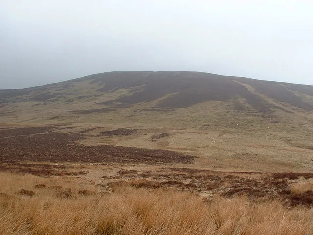
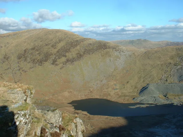
Foel Y Garnedd
Foel Y Garnedd — mountain in wales north. Elevation: 532 m.

Dylan Moore — CC BY-SA 2.0 via Wikimedia Commons licence
Plan your visit
- Typical visit
- 3 h–8 h
- Best time of year
- Late spring – early autumn (May–Oct)
About
Foel Y Garnedd is a mountain located in wales north. Elevation: 532 m. A named British peak recorded in OpenStreetMap. Peaks are typically named on Ordnance Survey 1:50k mapping.
Photo gallery
- Coordinates
- 52.8280, -3.5706
Sources
- osm: n3299585503 (ODbL)
Other places nearby
Loading nearby places…
Nearby
📷 5Mountains & hills · North Wales
Pen Bryn-y-fawnog
Pen Bryn-y-fawnog — mountain in wales north. Elevation: 590 m.
 📷 3
📷 3Natural landmarks · North Wales
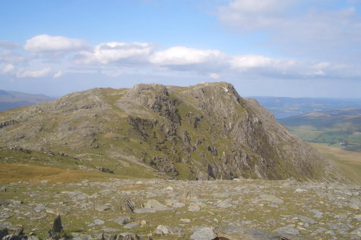
Foel y Geifr
Foel y Geifr — mountain (626m) in Gwynedd.
 📷 3
📷 3Mountains & hills · North Wales
Foel Y Geifr
Foel Y Geifr — Named summit at 626 m.
 📷 5
📷 5Mountains & hills · North Wales
Bwlan
Bwlan — mountain in wales north. Elevation: 528 m.
 📷 3
📷 3Mountains & hills · North Wales
Trum y Gwragedd
Trum y Gwragedd — Named summit at 612 m.
 📷 5
📷 5Mountains & hills · North Wales
Mynydd Carnedd Hywel
Mynydd Carnedd Hywel — mountain in wales north. Elevation: 570 m.
Where to eat & stay near Foel Y Garnedd
Places to stay
 📷 5
📷 5Campsites · North Wales
Pant Yr Onnen
Pant Yr Onnen — a campsite in wales north.
 📷 5
📷 5Campsites · North Wales
Bwch-Yn-Uchaf Campsite
Bwch-Yn-Uchaf Campsite — a campsite in wales north.
 📷 5
📷 5Campsites · North Wales
Glanllyn Lakeside
Glanllyn Lakeside — a campsite in wales north.
📷 5Campsites · North Wales
Werngoch Caravan Park
Werngoch Caravan Park — a campsite in wales north.
 📷 5
📷 5Caravan parks · North Wales
Pen Y Garth Lodge Park
Pen Y Garth Lodge Park — a caravan park in wales north.
 📷 5
📷 5Campsites · North Wales
Pen y Bont
Pen y Bont — a campsite in wales north.
Places to eat & drink
 📷 5
📷 5Restaurants · North Wales
Palé Hall Hotel Restaurant
Palé Hall Hotel Restaurant — a restaurant in wales north. Cuisine: welsh;british;fine dining. 5-star.
 📷 5
📷 5Cafés · North Wales
Meirion Mill
Meirion Mill — a café in wales north.
 📷 5
📷 5Restaurants · North Wales
Cross Foxes
Cross Foxes — a restaurant in wales north.
 📷 5
📷 5Cafés · North Wales
T.H. Roberts
T.H. Roberts — a café in wales north.
 📷 5
📷 5Cafés · North Wales
Y Sospan
Y Sospan — a café in wales north.
 📷 4
📷 4Historic pubs · Mid Wales
Cemmaes
Cemmaes in Wales Mid, United Kingdom.
More mountains in this region
 📷 5
📷 5Mountains & hills · North Wales
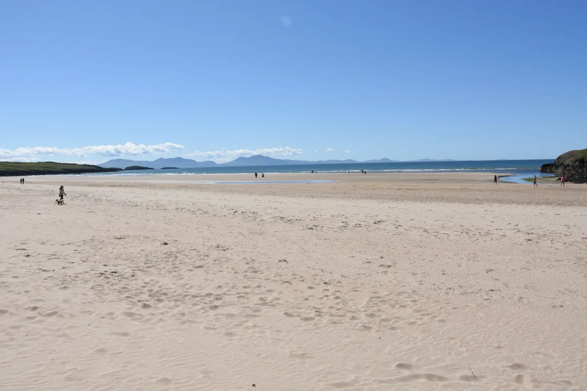
Cemlyn Bay and lagoon
Cemlyn Bay and lagoon — Site of Special Scientific Interest in Wales.
 📷 3
📷 3Mountains & hills · North Wales
Aberffraw Bay
Aberffraw Bay — bay on the west coast of Anglesey, in Wales, UK.
 📷 3
📷 3Mountains & hills · North Wales
Allt-fawr
Allt-fawr — Named summit at 698 m.
 📷 3
📷 3Mountains & hills · North Wales
Aran Benllyn
Aran Benllyn — Named summit at 884 m.
Frequently asked questions
- Where is Foel Y Garnedd?
- Foel Y Garnedd is in North Wales, United Kingdom.
- What is Foel Y Garnedd?
- Foel Y Garnedd — mountain in wales north. Elevation: 532 m.
- How do I get to Foel Y Garnedd?
- Its coordinates are 52.8280°, -3.5706°.