Mountains & hills · South Wales
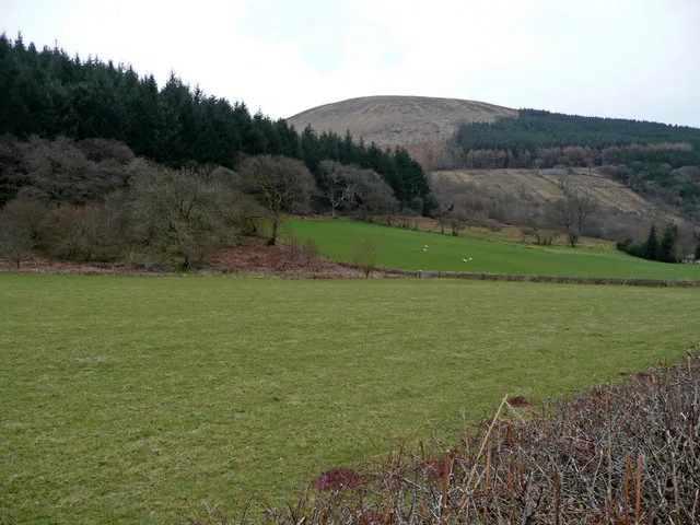
Foel Cwmcerwyn
Foel Cwmcerwyn — Named summit at 539 m.

Wikimedia Commons contributors — see linked file page for photographer and licence licence
Plan your visit
- Typical visit
- 3 h–8 h
- Best time of year
- Late spring – early autumn (May–Oct)
- Free entry
- Dog-friendly
About
Foel Cwmcerwyn is a named summit in the United Kingdom. Wikidata describes it as: "Named summit at 539 m.". Coordinates: 51.9461°, -4.7746°.
Photo gallery
From the Wikipedia article
Foel Cwmcerwyn is the highest point of the Preseli Mountains and of Pembrokeshire.
Excerpt from Wikipedia under CC BY-SA 4.0. See the source article linked in Sources below.
Background
Description
A trig point and a number of cairns are dotted across the summit area, and there is a disused quarry on the hill's western slopes as well as managed forest. The peak features on numerous walking routes and trails.
Sourced from Wikipedia under CC BY-SA 4.0.
- Coordinates
- 51.9461, -4.7746
- District
- Pembrokeshire
- Parish
- Maenclochog
- Postcode
- SA66 7QP
- Parliamentary constituency
- Ceredigion Preseli
Sources
- osm: n1486112948 (ODbL)
- wikipedia: Foel Cwmcerwyn (CC BY-SA 4.0)
- commons: Freshly Cut Grass - geograph.org.uk - 181924.jpg (CC BY-SA 4.0)
Other places nearby
Loading nearby places…
Nearby
 📷 3
📷 3Mountains & hills · South Wales
Foel Feddau
Foel Feddau — a mountain in wales-south, United Kingdom.
 📷 3
📷 3Quarries · South Wales
Bellstone quarry
Bellstone quarry — slate quarry in the town of Rosebush, Pembrokeshire, Wales, United Kingdom.
 📷 3
📷 3Quarries · South Wales
Rosebush quarry
Rosebush quarry — slate quarry in the town of Rosebush, Pembrokeshire, Wales, United Kingdom.
 📷 3
📷 3Public art & sculpture · South Wales
Elizabeth Haines Studios
Elizabeth Haines Studios — a public art in wales-south, United Kingdom.
Caravan parks · South Wales
Rosebush Holiday Park
Rosebush Holiday Park — a caravan park in wales south.
 📷 3
📷 3Viewpoints · South Wales
Foel Eryr
Foel Eryr is a viewpoint in the United Kingdom.
More mountains in this region
 Flagship📷 3
Mountains & hills · South Wales
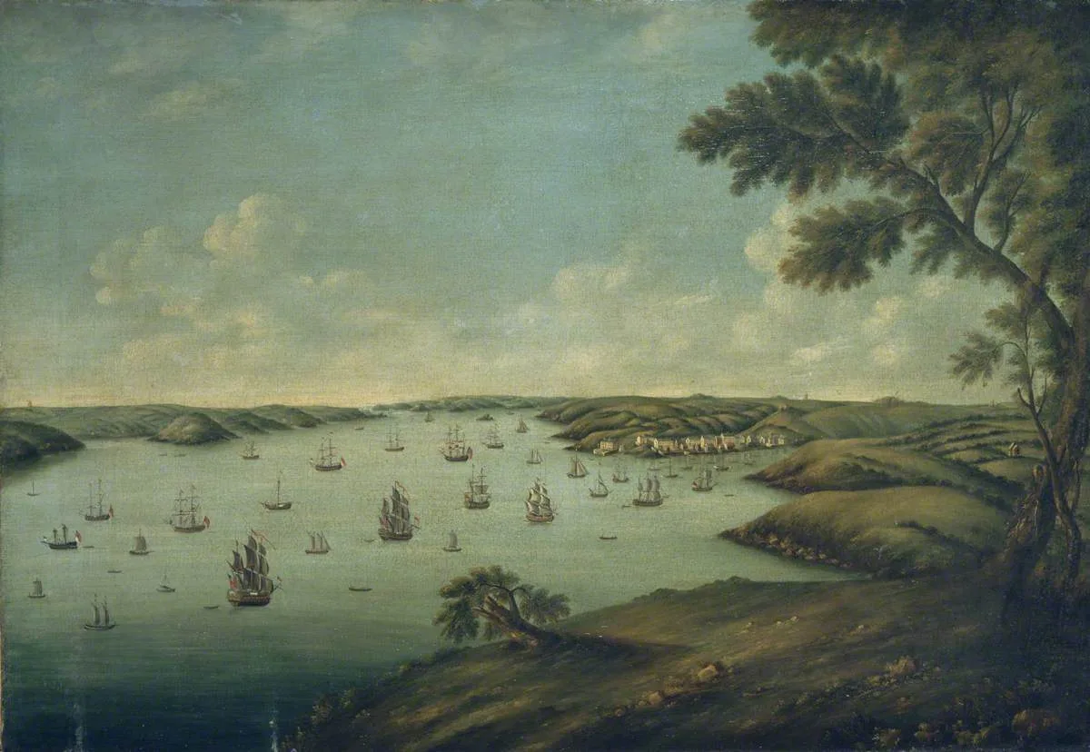
Milford Haven Waterway
Milford Haven Waterway — ria, or flooded valley, in Pembrokeshire, south-west Wales, UK.
 📷 5
📷 5Mountains & hills · South Wales
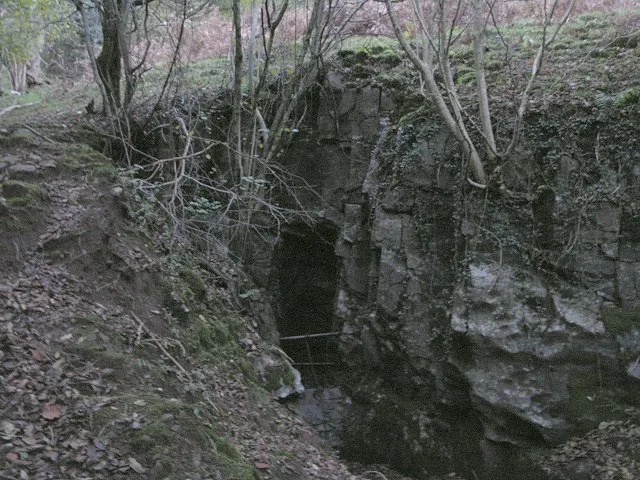
Ogof Ffynnon Ddu
Ogof Ffynnon Ddu — cave in the Upper Swansea Valley in South Wales.
 📷 3
📷 3Mountains & hills · South Wales
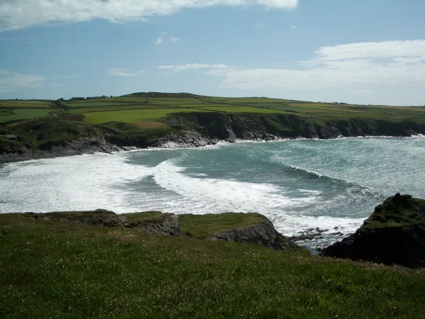
Abereiddi Bay
Abereiddi Bay — bay in the United Kingdom.
 📷 3
📷 3Mountains & hills · South Wales
Allt Lwyd
Allt Lwyd — Named summit at 653 m.
Frequently asked questions
- Where is Foel Cwmcerwyn?
- Foel Cwmcerwyn is in South Wales, United Kingdom (postcode SA66 7QP), in the parish of Maenclochog.
- Is Foel Cwmcerwyn free to visit?
- Yes, Foel Cwmcerwyn is free to enter.
- How do I get to Foel Cwmcerwyn?
- Drivers can navigate to postcode SA66 7QP. It sits within the Ceredigion Preseli parliamentary constituency.