
Hill forts · East of England
Fleam Dyke
In or near Great Wilbraham.
Fleam Dyke — linear earthwork and Site of Special Scientific Interest.

Wikimedia Commons contributors — see linked file page for photographer and licence licence

Plan your visit
- Typical visit
- 1 h–2 h
- Nearest railway station
- Shelford · 7.2 km
- Free entry
- Dog-friendly
Getting there & planning your visit
To visit Fleam Dyke, the nearest railway station is Shelford, located 7.2 km away. The postcode for navigation is CB21 5DA, and entry to the site is free.
About
Fleam Dyke is a hill fort in the United Kingdom. Heritage designation: scheduled monument. Wikidata describes it as: "linear earthwork and Site of Special Scientific Interest". Coordinates: 52.1660°, 0.2420°.
Photo gallery
See it from the streetimagery from 2024
Imagery © Mapillary contributors, CC BY-SA 4.0
Protected designations
- Site of Special Scientific Interest: Roman Road SSSI
Designations sourced from Natural England open data under OGL v3.
From the Wikipedia article
Fleam Dyke is a linear earthwork between Fulbourn and Balsham in Cambridgeshire, initiated some time between AD 330 and AD 510. It is three miles long and seven metres high from ditch to bank, and its ditch faces westwards, implying invading Saxons as its architects. Later, it formed a boundary of the Anglo-Saxon administrative division of Flendish Hundred. At a prominent point, the earthwork runs beside Mutlow Hill, crowned by a 4000-year-old Bronze Age burial mound.
Excerpt from Wikipedia under CC BY-SA 4.0. See the source article linked in Sources below.
Background
History
At Mutlow Hill the dyke runs beside a Bronze Age barrow dated to 2000 BC, which contained eight urns with cremated human remains, and which was reused in the Roman period as a shrine. The finding of a fourth-century Roman coin under the dyke established the dyke's post-Roman construction date. In the nineteenth and early twentieth centuries Anglo-Saxon weapons and burials were found. An excavation in 1991, on occasion of widening the A11 road, established by radiocarbon dating that it had been built in several phases, the first between AD 330 and 510, and the last between AD 450 and 620. It is believed most likely to have been built by early Anglo-Saxon settlers in the fifth century AD as a…
Description
The dyke is located near Cambridge, between Fulbourn and Balsham. It forms a barrier across an open chalkland ridge, bounded near Fulbourn by marshy fenland and near Balsham by 90-metre-high formerly wooded hills ("The Ambush"). It is three miles long and seven metres high from ditch to bank, and its ditch faces southwest. Most of the earthwork survives and a footpath leads along the crest of the bank (now part of the modern Harcamlow Way long-distance footpath). Possible extensions to Fleam Dyke occur at both the south and north ends, and a further part of it might exist three miles to the northwest, from Quy Fen to the River Cam at Fen Ditton.
Sourced from Wikipedia under CC BY-SA 4.0.
- Coordinates
- 52.1660, 0.2420
- County
- Cambridgeshire
- District
- South Cambridgeshire
- Parish
- Fulbourn
- Postcode
- CB21 5DA
- Parliamentary constituency
- South Cambridgeshire
- Nearest railway station
- Shelford — 7.2 km
Sources
- wikidata: Q5458327 (CC0)
- wikipedia: Fleam Dyke (CC BY-SA 4.0)
- commons: Fleam Dyke.jpg (CC BY-SA 4.0)
Other places nearby

Mutlow Hill
Archaeological sites · 1.2 km

Mutlow Hill
Archaeological sites · 1.2 km
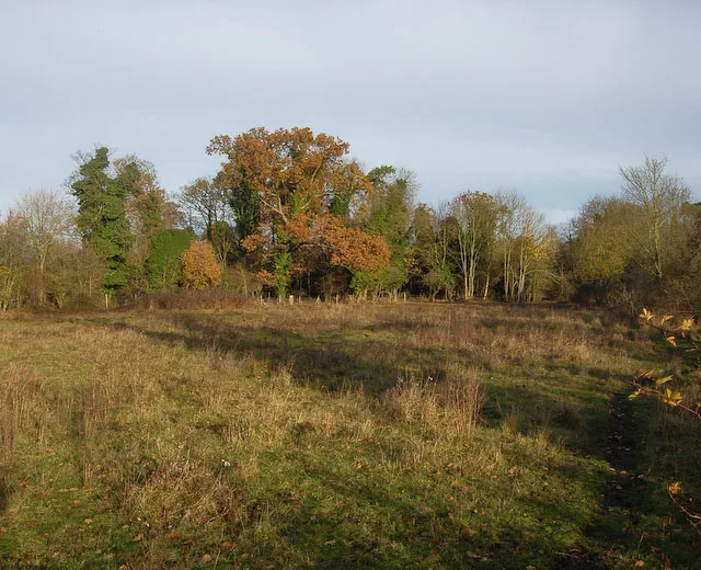
Fulbourn Fen
Wildlife reserves · 1.6 km

Fulbourn Fen NR
Forests & woodlands · 1.9 km

Dunmowes Manor
Manor houses · 2.0 km

Bounds Campsite
Campsites · 2.0 km

Fulbourn War Memorial
Memorials & monuments · 2.1 km

Fulbourn
Public art & sculpture · 2.3 km

Landmark International School
Natural landmarks · 2.4 km

Fulbourn Windmill
Windmills · 2.9 km

The Horse Pond
Memorials & monuments · 3.0 km

Signal Hill
Mountains & hills · 3.0 km
Nearby
📷 5Archaeological sites · East of England
Mutlow Hill
Mutlow Hill — a archaeological in england-london, United Kingdom.
📷 5📷 5Wildlife reserves · East of England
Fulbourn Fen
Fulbourn Fen — nature reserve in Cambridgeshire, England, UK.
📷 5Forests & woodlands · East of England
Fulbourn Fen NR
Fulbourn Fen NR is a forest or woodland in the United Kingdom.
📷 5Manor houses · East of England
Dunmowes Manor
Dunmowes Manor — a manor in england-london, United Kingdom.
📷 5Campsites · East of England
Bounds Campsite
Bounds Campsite — a campsite in england london.
Where to eat & stay near Fleam Dyke
Places to stay
📷 5Campsites · East of England
Bounds Campsite
Bounds Campsite — a campsite in england london.
 📷 5
📷 5 📷 5
📷 5Caravan parks · East of England
Cambridge Cherry Hinton Caravan and Motorhome Club
Cambridge Cherry Hinton Caravan and Motorhome Club — a caravan park in england london.
 📷 5📷 5
 📷 7
📷 7Places to eat & drink
 📷 7
📷 7Historic pubs · East of England
The Robin Hood
The Robin Hood in England East, United Kingdom.
 📷 7
📷 7Historic pubs · East of England
King's Head Public House
King's Head Public House in England East, United Kingdom.
 📷 7
📷 7Historic pubs · East of England
The Globe Public House
The Globe Public House in England East, United Kingdom.
 📷 5
📷 5 📷 5
📷 5Historic pubs · East of England
Tickells Arms Public House
Tickells Arms Public House in England East, United Kingdom.
 📷 7
📷 7More places in this region
 📷 5
📷 5Hill forts · East of England
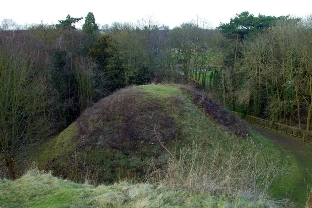
Bartlow Hills
Bartlow Hills — Roman tumuli cemetery in Bartlow (Cambridgeshire, UK).
 📷 5
📷 5Hill forts · East of England
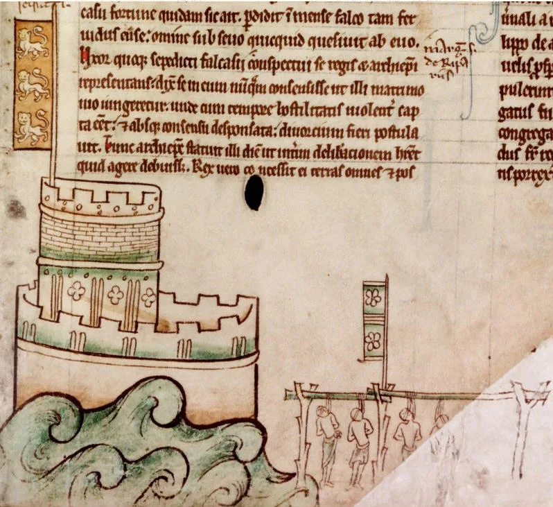
Bedford Castle
Bedford Castle — castle in Bedfordshire, England, UK.
.jpg?width=1200) 📷 5
📷 5Hill forts · East of England
Beech Bottom Dyke
Beech Bottom Dyke — Iron Age ditch in St Albans, Hertfordshire, England, UK.
 📷 5
📷 5Hill forts · East of England
Braughing Roman Town
Braughing Roman Town — archaeological site in Braughing, East Hertfordshire, England, UK.
Frequently asked questions
- Where is Fleam Dyke?
- Fleam Dyke is in Cambridgeshire, London, United Kingdom (postcode CB21 5DA), in the parish of Fulbourn.
- What is Fleam Dyke?
- Fleam Dyke — linear earthwork and Site of Special Scientific Interest.
- How do I get to Fleam Dyke?
- The nearest railway station is Shelford, about 7.2 km away. Drivers can use postcode CB21 5DA.
- Is Fleam Dyke a listed building?
- Fleam Dyke is officially recognised as scheduled monument listed.
- Is Fleam Dyke a protected site?
- Yes — Fleam Dyke is part of the Roman Road SSSI Site of Special Scientific Interest.
- Is Fleam Dyke free to visit?
- Yes, Fleam Dyke is free to enter.
- How do I get to Fleam Dyke?
- The nearest railway station is Shelford, about 7.2 km away. Drivers can navigate to postcode CB21 5DA.