
Hill forts · East of England
Flag Fen
In or near Eye.
Flag Fen — archaeological open-air museum in Peterborough, Cambridgeshire, England, UK.

Wikimedia Commons contributors — see linked file page for photographer and licence licence

Plan your visit
- Typical visit
- 1 h–2 h
- Nearest railway station
- Peterborough (NVR) · 4.0 km
- Paid entry
- Family-friendly
- Dog-friendly
- Wheelchair accessible
Getting there & planning your visit
To visit Flag Fen, the nearest railway station is Peterborough (NVR), located 4 km away. Entry is free, and the site is accessible. The postcode for sat-nav is PE6 7QJ.
About
Flag Fen is a hill fort in the United Kingdom. Address: PE6 7QJ. Wikidata describes it as: "archaeological open-air museum in Peterborough, Cambridgeshire, England, UK". Coordinates: 52.5740°, -0.1900°.
Photo gallery
Official information
Flag Fen is an archaeological park that showcases ancient Bronze Age history, featuring a reconstructed prehistoric landscape and significant archaeological finds. Visitors can explore the site, which includes a mysterious timber causeway and platform dating back 3,500 years, while also enjoying nature and wildlife.
Protected designations
- Site of Special Scientific Interest: Nene Washes SSSI
- Ramsar wetland: Nene Washes
Designations sourced from Natural England open data under OGL v3.
From the Wikipedia article
Flag Fen, east of Peterborough, England, is a Bronze Age site which was constructed about 3,500 years ago and consists of more than 60,000 timbers arranged in five very long rows, creating a wooden causeway (around 1 km or 0.6 mi long) across the wet fenland. Part-way across the structure a small island was formed. Items associated with it have led scholars to conclude that the island was of religious significance. Archaeological work began in 1982 at the site, which is located 800 m (0.5 mi) east of Fengate. Flag Fen is now part of the Greater Fens Museum Partnership. A visitor centre has been constructed on site and some areas have been reconstructed, including a typical Iron Age roundhouse dwelling. A section of the original causeway is preserved in wet conditions in the Preservation Hall.
Excerpt from Wikipedia under CC BY-SA 4.0. See the source article linked in Sources below.
Background
Architecture
A Neolithic trackway once ran across what archaeologists have termed the "Flag Fen Basin", from a dry-land area known as Fengate The basin is an embayment of low-lying land on the western margins of the Fens. Dendrochronological analysis (dating of the posts by studying tree rings) led to an estimated date for the various stages of construction of between 1365 and 967 BC. Some of the timbers, such as oak, were not native to the local environment. They made a significant effort to transport the timbers to the site from distant sources.
Sourced from Wikipedia under CC BY-SA 4.0.
- Coordinates
- 52.5740, -0.1900
- District
- Peterborough
- Parish
- Peterborough, unparished area
- Postcode
- PE6 7QJ
- Parliamentary constituency
- Peterborough
- Phone
- +44 (0)1733 864 468
- Nearest railway station
- Peterborough (NVR) — 4 km
- Opening
- Spring/Summer: Wed-Sun 10am–4pm; Autumn/Winter: Fri-Sun 10am–4pm
- Official site
- flagfen.org.uk
Sources
- wikidata: Q1356788 (CC0)
- wikipedia: Flag Fen (CC BY-SA 4.0)
- commons: Flag fen roundhouse.jpg (CC BY-SA 4.0)
Other places nearby

Flag Fen Bronze Age Centre
Archaeological sites · 0.1 km

A Bronze Age post alignment and timber platform at Flag Fen and associated Bronze Age and later field systems and settlement to
Archaeological sites · 0.4 km

Northey Lodge
Caravan parks · 1.1 km
Northey Lodge
Caravan parks · 1.1 km

Must Farm Bronze Age settlement
Archaeological sites · 1.4 km

Must Farm Bronze Age settlement
Archaeological sites · 1.4 km

Sri Guru Singh Sabha Gurdwara
Historic churches · 1.5 km

Showcase Cinema de Lux Peterborough
Theatres · 2.1 km

Must Farm Project
Archaeological sites · 2.3 km
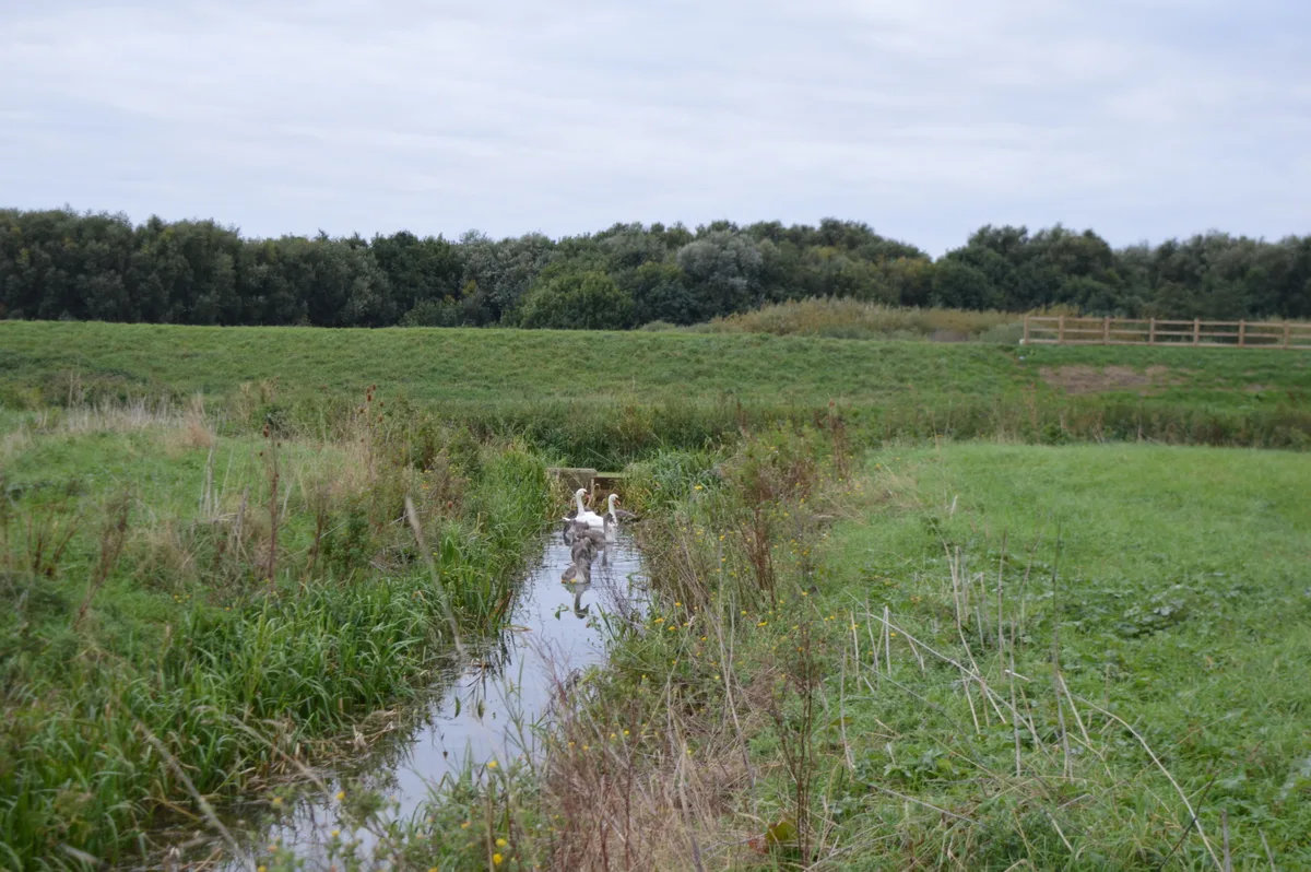
Stanground Wash
Wildlife reserves · 2.3 km

Husaini Islamic Centre
Historic churches · 2.6 km

Eastfield Cemetery
Cemeteries · 2.8 km
Nearby
📷 5Archaeological sites · East of England
Flag Fen Bronze Age Centre
Flag Fen Bronze Age Centre — a other in england-london, United Kingdom.
📷 5Archaeological sites · East of England
A Bronze Age post alignment and timber platform at Flag Fen and associated Bronze Age and later field systems and settlement to
A Bronze Age post alignment and timber platform at Flag Fen and associated Bronze Age and later field systems and settlement to — archaeological site in Thorney, City of Peterborough, England, UK.
📷 5📷 5📷 5Archaeological sites · East of England
Must Farm Bronze Age settlement
Must Farm Bronze Age settlement — a archaeological in england-london, United Kingdom.
📷 5Archaeological sites · East of England
Must Farm Bronze Age settlement
Must Farm Bronze Age settlement — archaeological in england london.
Where to eat & stay near Flag Fen
Places to stay
📷 5📷 5 📷 7
📷 7 📷 5
📷 5Caravan parks · East of England
New Haven Residential Park
New Haven Residential Park — a caravan park in england london.
 📷 5
📷 5 📷 5
📷 5Campsites · East of England
Ferry Meadows
Ferry Meadows — a campsite in england london.
Places to eat & drink
 📷 5
📷 5Restaurants · East of England
The Banyan Tree
The Banyan Tree — a restaurant in england london.
 📷 5
📷 5 📷 5
📷 5Historic pubs · East of England
The Blue Bell Public House
The Blue Bell Public House in England East, United Kingdom.
 📷 5
📷 5 📷 7
📷 7Historic pubs · East of England
Prince Of Wales Feathers
Prince Of Wales Feathers in England East, United Kingdom.
 📷 7
📷 7Historic pubs · East of England
Wheatsheaf Public House
Wheatsheaf Public House in England East, United Kingdom.
More places in this region
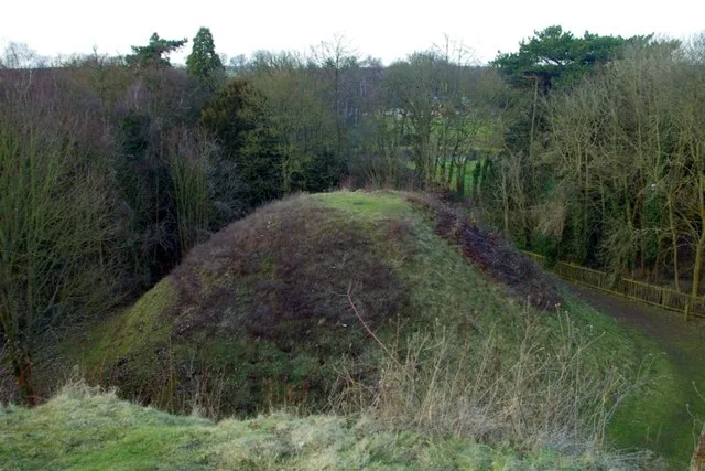 📷 5
📷 5Hill forts · East of England
Bartlow Hills
Bartlow Hills — Roman tumuli cemetery in Bartlow (Cambridgeshire, UK).
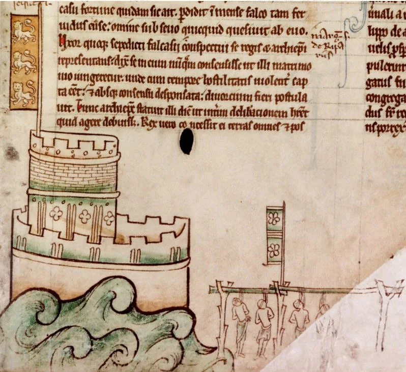 📷 5
📷 5Hill forts · East of England
Bedford Castle
Bedford Castle — castle in Bedfordshire, England, UK.
.jpg?width=1200) 📷 5
📷 5Hill forts · East of England
Beech Bottom Dyke
Beech Bottom Dyke — Iron Age ditch in St Albans, Hertfordshire, England, UK.
 📷 5
📷 5Hill forts · East of England
Braughing Roman Town
Braughing Roman Town — archaeological site in Braughing, East Hertfordshire, England, UK.
Frequently asked questions
- Where is Flag Fen?
- Flag Fen is in London, United Kingdom (postcode PE6 7QJ), in the parish of Peterborough, unparished area.
- What is Flag Fen?
- Flag Fen — archaeological open-air museum in Peterborough, Cambridgeshire, England, UK.
- How do I get to Flag Fen?
- The nearest railway station is Peterborough (NVR), about 4.0 km away. Drivers can use postcode PE6 7QJ.
- Is Flag Fen a protected site?
- Yes — Flag Fen is part of the Nene Washes SSSI Site of Special Scientific Interest and the Nene Washes Ramsar wetland.
- Is Flag Fen free to visit?
- Yes, Flag Fen is free to enter.
- How do I get to Flag Fen?
- The nearest railway station is Peterborough (NVR), about 4.0 km away. Drivers can navigate to postcode PE6 7QJ.