
Mountains & hills · South Wales
Farteg Hill
In or near Cwmllynfell.
Farteg Hill — mountain in wales south. Elevation: 352 m.

Tawe Tours — CC BY-SA 2.0 via Wikimedia Commons licence
_-_geograph.org.uk_-_4566458.jpg)
Plan your visit
- Typical visit
- 3 h–8 h
- Best time of year
- Late spring – early autumn (May–Oct)
- Dog-friendly
About
Farteg Hill is a mountain located in wales south. Elevation: 352 m. A named British peak recorded in OpenStreetMap. Peaks are typically named on Ordnance Survey 1:50k mapping.
Photo gallery
Place summary
Farteg Hill is a mountain located in the South Wales region, specifically within the parish of Ystradgynlais. It offers a variety of outdoor activities, including hiking and nature walks, attracting both locals and visitors. The area is characterised by its natural beauty and provides a scenic backdrop for outdoor enthusiasts.
AI-generated from the structured facts on this page (operator, designation, listing, era). Not a substitute for visiting.
- Coordinates
- 51.7549, -3.7739
- District
- Powys
- Parish
- Ystradgynlais
- Postcode
- SA9 2HB
- Parliamentary constituency
- Brecon, Radnor and Cwm Tawe
Sources
- osm: n272337473 (ODbL)
Other places nearby

Ysgol Gyfun Ystalyfera-Bro Dur
Natural landmarks · 1.2 km

Ystalyfera Iron Works
Historic houses · 1.3 km
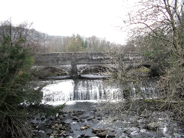
Canal Aqueduct Over Afon Twrch, Including Weir
Aqueducts · 1.6 km

Ynyscedwyn Ironworks
Natural landmarks · 1.6 km

Ynyscedwyn Ironworks
Archaeological sites · 1.6 km

Godre'r Rhos Independent Chapel and vestry
Chapels · 1.9 km

Mimosa
Public art & sculpture · 2.1 km

Cae'r Castell
Literary houses · 2.2 km

Ynys-y-bont Bridge
Historic bridges · 2.5 km
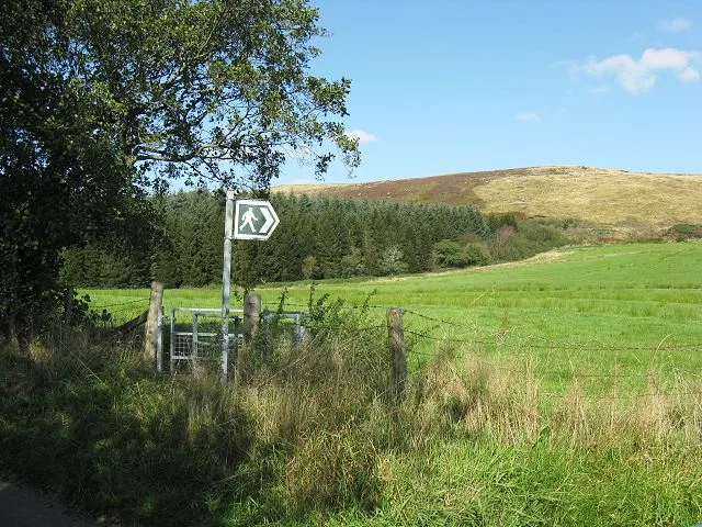
Mynydd Allt-Y-Grug
Mountains & hills · 2.6 km

Miners' Welfare Hall
Open-air theatres · 2.9 km

Canal Overbridge at Cwm-tawe-isaf
Historic bridges · 3.1 km
Nearby
📷 5Natural landmarks · South Wales
Ysgol Gyfun Ystalyfera-Bro Dur
Ysgol Gyfun Ystalyfera-Bro Dur — a school heritage in wales-south, United Kingdom.
📷 3Historic houses · South Wales
Ystalyfera Iron Works
Ystalyfera Iron Works — a historic house in wales-south, United Kingdom.
📷 3Aqueducts · South Wales
Canal Aqueduct Over Afon Twrch, Including Weir
Canal Aqueduct Over Afon Twrch, Including Weir is a aqueduct in the United Kingdom.
📷 3Natural landmarks · South Wales
Ynyscedwyn Ironworks
Ynyscedwyn Ironworks — a other in wales-south, United Kingdom.
📷 5Archaeological sites · South Wales
Ynyscedwyn Ironworks
Ynyscedwyn Ironworks — archaeological in wales south.
📷 3Chapels · South Wales
Godre'r Rhos Independent Chapel and vestry
Godre'r Rhos Independent Chapel and vestry — Independent chapel in Crynant.
Where to eat & stay near Farteg Hill
Places to stay
 📷 5
📷 5 📷 5
📷 5 📷 5
📷 5Campsites · South Wales
Brecon Beacons Caravan Touring Park
Brecon Beacons Caravan Touring Park — a campsite in wales south.
 📷 5
📷 5Campsites · South Wales
Cae Glas Camping
Cae Glas Camping — a campsite in wales south.
 📷 6
📷 6 📷 5
📷 5Campsites · South Wales
Brecon Beacons Camping & Caravan Park
Brecon Beacons Camping & Caravan Park — a campsite in wales south.
Places to eat & drink
 📷 7
📷 7
 📷 5
📷 5Restaurants · South Wales
Bagle Brook
Bagle Brook — a restaurant in wales south. Cuisine: burger;steak house. Brand: Beefeater.


 📷 5
📷 5Restaurants · South Wales
Las Iguanas
Las Iguanas — a restaurant in wales south. Cuisine: latin american. Brand: Las Iguanas.
More mountains in this region
 Flagship📷 3
Mountains & hills · South Wales
Milford Haven Waterway
Milford Haven Waterway — ria, or flooded valley, in Pembrokeshire, south-west Wales, UK.
 📷 5
📷 5Mountains & hills · South Wales
Ogof Ffynnon Ddu
Ogof Ffynnon Ddu — cave in the Upper Swansea Valley in South Wales.
 📷 3
📷 3 📷 3
📷 3Frequently asked questions
- Where is Farteg Hill?
- Farteg Hill is in South Wales, United Kingdom (postcode SA9 2HB), in the parish of Ystradgynlais.
- What is Farteg Hill?
- Farteg Hill — mountain in wales south. Elevation: 352 m.
- How do I get to Farteg Hill?
- Drivers can use postcode SA9 2HB.
- How do I get to Farteg Hill?
- Drivers can navigate to postcode SA9 2HB. It sits within the Brecon, Radnor and Cwm Tawe parliamentary constituency.