
Archaeological sites · London
Farningham Wood
In or near Crockenhill.
Farningham Wood — natural area in England.

Wikimedia Commons contributors — see linked file page for photographer and licence licence

Plan your visit
- Typical visit
- 45 min–1.5 h
- Nearest railway station
- Farningham Road · 2.0 km
- Free entry
- Dog-friendly
Getting there & planning your visit
To visit Farningham Wood, the nearest railway station is Farningham Road, located 2 km away. The postcode for sat-nav is DA4 0JR, and entry is free.
About
Farningham Wood is an archaeological site in the United Kingdom. Heritage designation: Site of Special Scientific Interest. Wikidata describes it as: "natural area in England". Coordinates: 51.3910°, 0.2130°.
Photo gallery
Protected designations
- Site of Special Scientific Interest: Farningham Wood SSSI
- Area of Outstanding Natural Beauty: Kent Downs
Designations sourced from Natural England open data under OGL v3.
From the Wikipedia article
Farningham Wood is a 74.2-hectare (183-acre) biological Site of Special Scientific Interest east of Swanley in Kent. It is also a Local Nature Reserve. It is owned and managed by Sevenoaks District Council and Farningham Parish Council. This wood has a variety of soil conditions, resulting in diverse ground flora and invertebrates, some of which are typical ancient woodland. Ponds in the middle support several species of amphibian, and the nationally rare hoverfly Volucella inanis has been recorded on the site. There is access from Calfstock Lane.
Excerpt from Wikipedia under CC BY-SA 4.0. See the source article linked in Sources below.
- Coordinates
- 51.3910, 0.2130
- County
- Kent
- District
- Sevenoaks
- Parish
- Farningham
- Postcode
- DA4 0JR
- Parliamentary constituency
- Sevenoaks
- Nearest railway station
- Farningham Road — 2 km
Sources
- wikidata: Q48817078 (CC0)
- wikipedia: Farningham Wood (CC BY-SA 4.0)
- commons: Pond in Farningham Woods - geograph.org.uk - 1302785.jpg (CC BY-SA 4.0)
Other places nearby

Farningham Wood Scout Campsite
Campsites · 0.4 km

The White House
Historic houses · 1.1 km

Farningham
Villages · 1.1 km

Mill House
Historic houses · 1.2 km

Farningham Bridge
Historic bridges · 1.2 km

Broom Hill
Mountains & hills · 1.3 km

Church of Saint Peter and Saint Paul
Historic churches · 1.4 km

Manor House Roman villa
Manor houses · 1.4 km
Spitfire Pilot Memorial
Memorials & monuments · 1.4 km

Franks Roman villa
Roman villas · 1.5 km

Bridge Over River Darenth
Historic bridges · 1.6 km

Farningham Roman villa I
Roman villas · 1.6 km
Nearby
📷 5Campsites · London
Farningham Wood Scout Campsite
Farningham Wood Scout Campsite — a campsite in england london.
📷 5Historic houses · London
The White House
The White House — house in Farningham, Kent, England, UK.
📷 5📷 5Historic houses · London
Mill House
Mill House — house in Farningham, Kent, England, UK.
📷 5Historic bridges · London
Farningham Bridge
Farningham Bridge — Grade II listed building-listed bridge in england-london, United Kingdom.
📷 5Where to eat & stay near Farningham Wood
Places to stay
📷 5Campsites · London
Farningham Wood Scout Campsite
Farningham Wood Scout Campsite — a campsite in england london.
 📷 5
📷 5 📷 5
📷 5Campsites · London
The Naturist Foundation
The Naturist Foundation — a campsite in england london.
 📷 5
📷 5Caravan parks · London
Clearways Park
Clearways Park — a caravan park in england london.
📷 5 📷 5
📷 5Hotels · London
The Royal Victoria & Bull Hotel
The Royal Victoria & Bull Hotel — a hotel in england london.
Places to eat & drink
 📷 5
📷 5Historic pubs · London
The Wat Tyler
The Wat Tyler — Historic pub — listed building or notable heritage status.
 📷 5
📷 5Historic pubs · London
The Coach And Horses Public House
The Coach And Horses Public House in England London, United Kingdom.
 📷 5
📷 5Restaurants · London
The Adaalat Lounge
The Adaalat Lounge — a restaurant in england london.
.jpg?width=1200) 📷 7
📷 7Historic pubs · London
The Royal Oak
The Royal Oak — Historic pub — listed building or notable heritage status.
 📷 5
📷 5Historic pubs · London
The Rock And Fountain Public House
The Rock And Fountain Public House in England London, United Kingdom.
 📷 7
📷 7More archaeological sites in this region
 Flagship📷 10
Archaeological sites · London
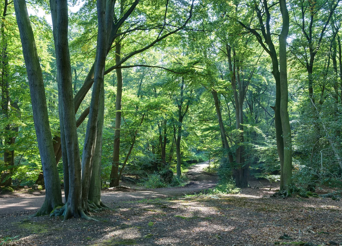
Epping Forest
Epping Forest — royal forest in England.
 Flagship📷 10
 📷 5
📷 5Archaeological sites · London
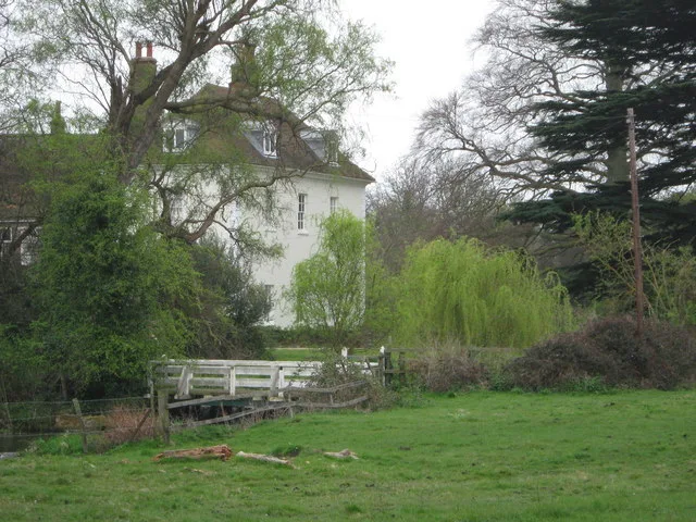
A preceptory of the Knights Hospitallers, known as St John's Jerusalem, and an associated fishpond at Sutton-at-Hone
A preceptory of the Knights Hospitallers, known as St John's Jerusalem, and an associated fishpond at Sutton-at-Hone — archaeological site in Sutton-at-Hone and Hawley, Dartford, England, UK.
 📷 5
📷 5Archaeological sites · London
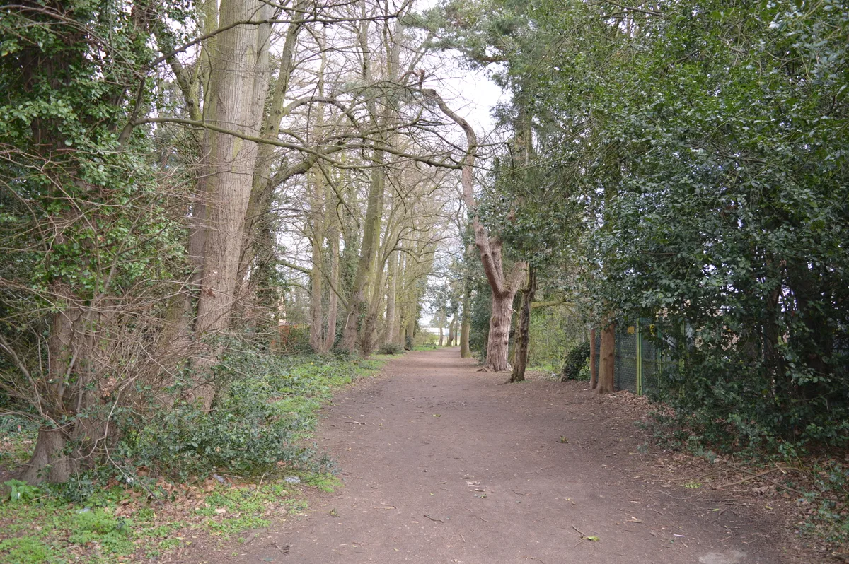
Albans Wood
Albans Wood — Nature reserve in Hertfordshire, England.
Frequently asked questions
- Where is Farningham Wood?
- Farningham Wood is in Kent, London, United Kingdom (postcode DA4 0JR), in the parish of Farningham.
- What is Farningham Wood?
- Farningham Wood — natural area in England.
- How do I get to Farningham Wood?
- The nearest railway station is Farningham Road, about 2.0 km away. Drivers can use postcode DA4 0JR.
- Is Farningham Wood a listed building?
- Farningham Wood is officially recognised as Site of Special Scientific Interest listed.
- Is Farningham Wood a protected site?
- Yes — Farningham Wood is part of the Farningham Wood SSSI Site of Special Scientific Interest and the Kent Downs National Landscape (AONB).
- Is Farningham Wood free to visit?
- Yes, Farningham Wood is free to enter.
- How do I get to Farningham Wood?
- The nearest railway station is Farningham Road, about 2.0 km away. Drivers can navigate to postcode DA4 0JR.