
Wildlife reserves · Yorkshire & the Humber
Far Ings National Nature Reserve
In or near Swanland.
Far Ings National Nature Reserve — nature reserve in north Lincolnshire.
_-_geograph.org.uk_-_1028660.jpg?width=1200)
Wikimedia Commons licence
Plan your visit
- Typical visit
- 2 h–4 h
- Best time of year
- Autumn & winter (migration & wildfowl)
- Nearest railway station
- Barton-on-Humber · 1.4 km
- Free entry
- Family-friendly
- Dog-friendly
Getting there & planning your visit
To visit Far Ings National Nature Reserve, you can take a train to Barton-on-Humber, which is 1.4 km away. The postcode for sat-nav is DN18 5RF. Entry to the reserve is free.
About
Far Ings National Nature Reserve is a wildlife reserve in the United Kingdom. Wikidata describes it as: "nature reserve in north Lincolnshire". Coordinates: 53.6968°, -0.4600°.
Photo gallery
Protected designations
- Site of Special Scientific Interest: Humber Estuary - 2000480 SSSI
- National Nature Reserve: FAR INGS
- Ramsar wetland: Humber Estuary
Designations sourced from Natural England open data under OGL v3.
From the Wikipedia article
Far Ings national nature reserve is an area of over 90 ha (220 acres) on the southern shore of the Humber Estuary in North Lincolnshire, England. It is immediately west of the town of Barton-upon-Humber and the village of Barton Waterside. In addition to being designated as a national nature reserve, it is within the Humber Estuary Ramsar site, Site of Special Scientific Interest, Special Area of Conservation, and Special Protection Area.
Excerpt from Wikipedia under CC BY-SA 4.0. See the source article linked in Sources below.
Background
History
The clay pits on the Humber foreshore were the focus of a tile and cement industry from 1850 to 1959. The industrial sites were abandoned in the early 20th century once supplies of clay began to run out. The clay workings filled with water and became colonised by species of reeds. The reserve was acquired by Lincolnshire Wildlife Trust in 1983, who opened it in the same year. The site was designed as a national nature reserve in April 2005. A tidal surge on 5 December 2013 caused by Cyclone Xaver breached the flood defences on the Humber bank, flooding the reserve. The visitor centre re-opened in August 2014. The visitor centre, toilets, and car park were closed during the COVID-19 Pandemic…
Sourced from Wikipedia under CC BY-SA 4.0.
- Coordinates
- 53.6968, -0.4600
- District
- North Lincolnshire
- Parish
- Barton
- Postcode
- DN18 5RF
- Parliamentary constituency
- Brigg and Immingham
- Phone
- 01652637055
- Nearest railway station
- Barton-on-Humber — 1.4 km
- Official site
- rsis.ramsar.org
Sources
- wikidata: Q84156246 (CC0)
- wikipedia: Far Ings National Nature Reserve (CC BY-SA 4.0)
- fsq: 4cb4d8523abd9c74c332562f (Apache-2.0)
Other places nearby

Far Ings Visitor Centre
Natural landmarks · 0.0 km

Viking Way
Military museums · 1.0 km

Silver Birch Holiday Home Park
Caravan parks · 1.0 km

Ropery Hall
Theatres · 1.2 km

Humber Esturary Tidal Defences
Public art & sculpture · 1.2 km

Waters' Edge Visitors' Centre
Natural landmarks · 1.2 km

Ropewalk
Natural landmarks · 1.2 km
The Ropewalk
Museums · 1.2 km

The Ropewalk Galleries
Galleries · 1.2 km
The Ropery
Museums · 1.2 km

Humber Bridge
Historic bridges · 1.3 km
Humber Bridge
Historic bridges · 1.3 km
Nearby
📷 3Natural landmarks · Yorkshire & the Humber
Far Ings Visitor Centre
Far Ings Visitor Centre — a natural landmark in Yorkshire & the Humber, United Kingdom.
📷 5Military museums · Yorkshire & the Humber
Viking Way
Viking Way — a military museum in england yorkshire.
📷 5Caravan parks · Yorkshire & the Humber
Silver Birch Holiday Home Park
Silver Birch Holiday Home Park — a caravan park in england yorkshire.
📷 3📷 3Public art & sculpture · Yorkshire & the Humber
Humber Esturary Tidal Defences
Humber Esturary Tidal Defences — a public art in Yorkshire & the Humber, United Kingdom.
📷 3Natural landmarks · Yorkshire & the Humber
Waters' Edge Visitors' Centre
Waters' Edge Visitors' Centre — a place in Yorkshire & the Humber, United Kingdom.
Where to eat & stay near Far Ings National Nature Reserve
Places to stay
📷 5Caravan parks · Yorkshire & the Humber
Silver Birch Holiday Home Park
Silver Birch Holiday Home Park — a caravan park in england yorkshire.
 📷 5
📷 5Caravan parks · Yorkshire & the Humber
Roxton, Caravan & Motorhome Club
Roxton, Caravan & Motorhome Club — a caravan park in england yorkshire.
 📷 5
📷 5Campsites · Yorkshire & the Humber
Marshlands Alpacas
Marshlands Alpacas — a campsite in england yorkshire.
 📷 5
📷 5Caravan parks · Yorkshire & the Humber
Raywell Hall Country Lodge Park
Raywell Hall Country Lodge Park — a caravan park in england yorkshire.
 📷 5
📷 5Campsites · Yorkshire & the Humber
Raywell Park
Raywell Park — a campsite in england yorkshire.
 📷 5
📷 5Places to eat & drink
 📷 5
📷 5Historic pubs · Yorkshire & the Humber
St. George's Hotel
St. George's Hotel in England Yorkshire, United Kingdom.
 📷 5
📷 5Restaurants · Yorkshire & the Humber
Papa's Fish and Chips
Papa's Fish and Chips — a restaurant in england yorkshire. Cuisine: fish;fish and chips;chips. Brand: Papa's.
 📷 5
📷 5Historic pubs · Yorkshire & the Humber
Criterion Public House
Criterion Public House in England Yorkshire, United Kingdom.
 📷 6
📷 6Historic pubs · Yorkshire & the Humber
Vauxhall Tavern Public House
Vauxhall Tavern Public House in England Yorkshire, United Kingdom.
 📷 5
📷 5Historic pubs · Yorkshire & the Humber
The Buccaneer Public House
The Buccaneer Public House in England Yorkshire, United Kingdom.
 📷 5
📷 5Historic pubs · Yorkshire & the Humber
Earl De Grey Public House
Earl De Grey Public House in England Yorkshire, United Kingdom.
More places in this region
 📷 3
📷 3Wildlife reserves · Yorkshire & the Humber
Eastwood Nature Reserve
Eastwood Nature Reserve is a wildlife reserve in the United Kingdom.
 📷 3
📷 3Wildlife reserves · Yorkshire & the Humber
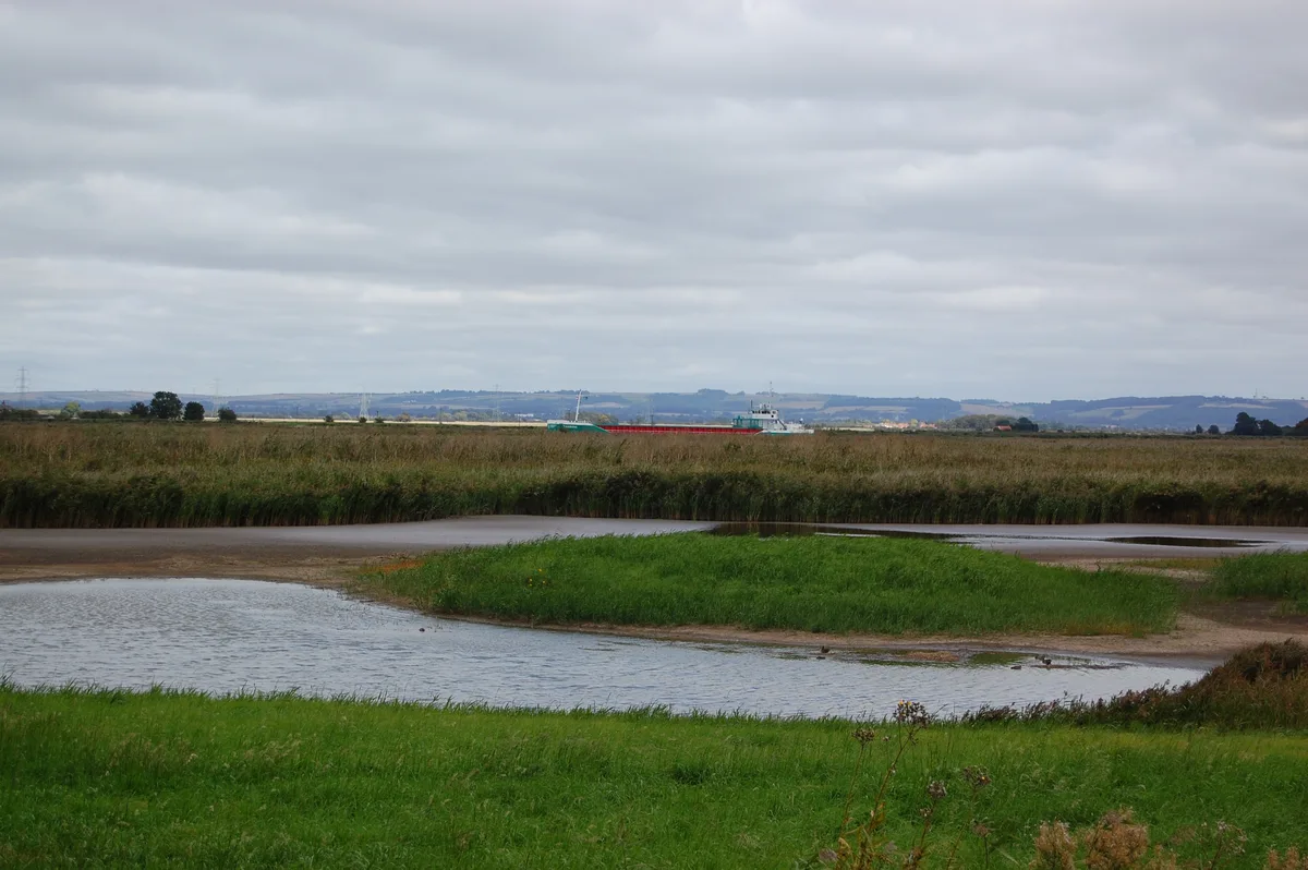
Blacktoft Sands RSPB reserve
Blacktoft Sands RSPB reserve — RSPB nature reserve in England.
 Flagship📷 3
Wildlife reserves · Yorkshire & the Humber
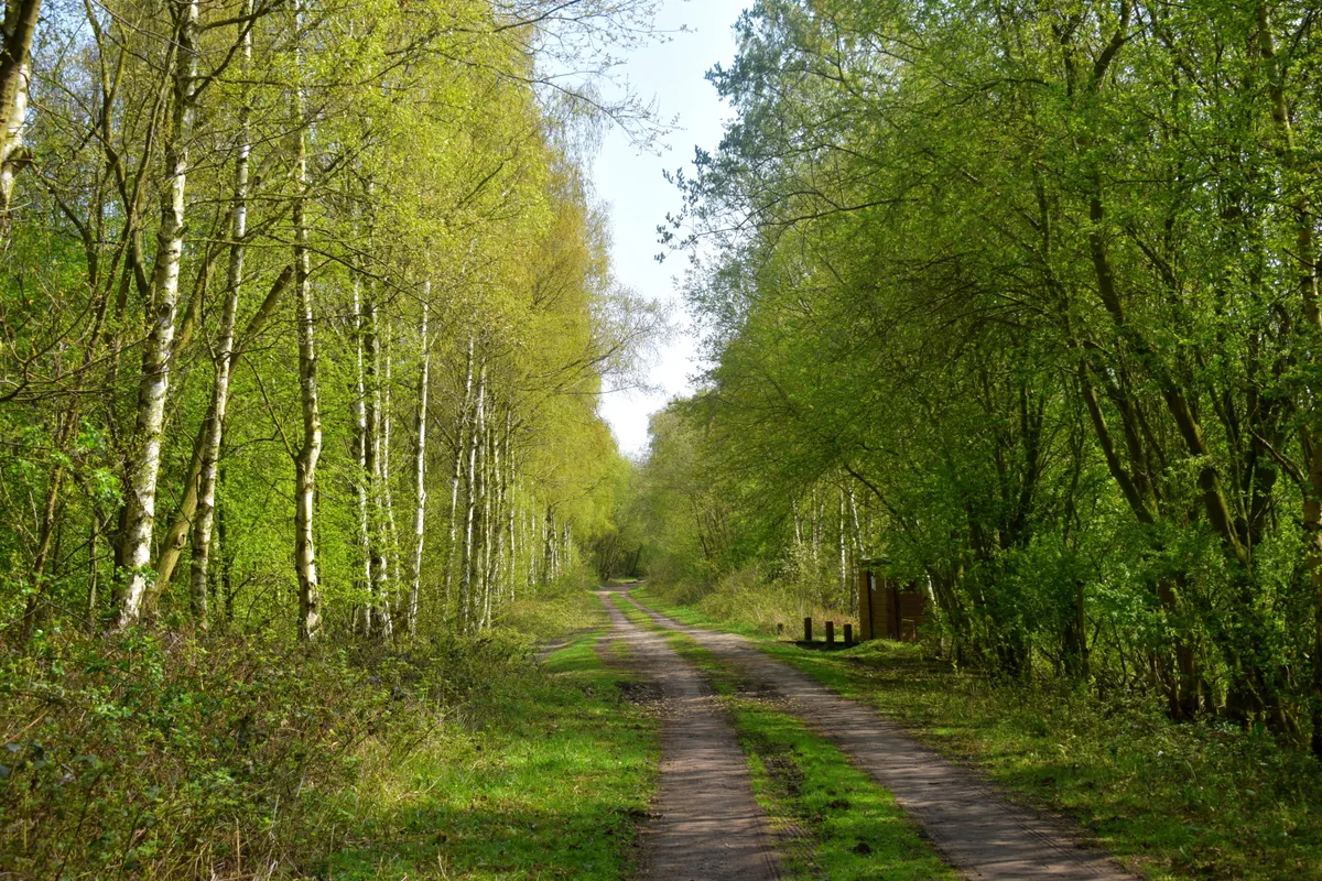
Thorpe Marsh Nature Reserve
Thorpe Marsh Nature Reserve — Nature reserve in South Yorkshire.
 📷 5
📷 5Wildlife reserves · Yorkshire & the Humber
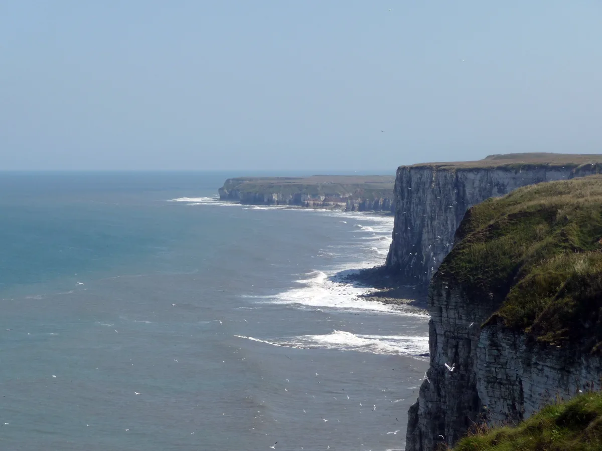
Bempton Cliffs RSPB reserve
Bempton Cliffs RSPB reserve — RSPB nature reserve in the United Kingdom.
Frequently asked questions
- Where is Far Ings National Nature Reserve?
- Far Ings National Nature Reserve is in Yorkshire, United Kingdom (postcode DN18 5RF), in the parish of Barton.
- What is Far Ings National Nature Reserve?
- Far Ings National Nature Reserve — nature reserve in north Lincolnshire.
- How do I get to Far Ings National Nature Reserve?
- The nearest railway station is Barton-on-Humber, about 1.4 km away. The nearest town is Swanland. Drivers can use postcode DN18 5RF.
- Who owns Far Ings National Nature Reserve?
- Far Ings National Nature Reserve is owned by Lincolnshire Wildlife Trust.
- Is Far Ings National Nature Reserve a protected site?
- Yes — Far Ings National Nature Reserve is part of the Humber Estuary - 2000480 SSSI Site of Special Scientific Interest and the FAR INGS National Nature Reserve.
- Is Far Ings National Nature Reserve free to visit?
- Yes, Far Ings National Nature Reserve is free to enter.
- How do I get to Far Ings National Nature Reserve?
- The nearest railway station is Barton-on-Humber, about 1.4 km away. Drivers can navigate to postcode DN18 5RF.
- Are dogs allowed at Far Ings National Nature Reserve?
- Most wildlife reserves allow dogs on lead only, with restrictions during ground-nesting bird season (March-July). Check signage at the reserve.