
Mountains & hills · South East England
Falmer Hill
In or near Stanmer.
Falmer Hill — mountain in england south east. Elevation: 163 m.

Paul Gillett — CC BY-SA 2.0 via Wikimedia Commons licence

Plan your visit
- Typical visit
- 3 h–8 h
- Best time of year
- Late spring – early autumn (May–Oct)
- Nearest railway station
- Falmer · 1.2 km
- Dog-friendly
About
Falmer Hill is a mountain located in england south east. Elevation: 163 m. A named British peak recorded in OpenStreetMap. Peaks are typically named on Ordnance Survey 1:50k mapping.
Photo gallery
Place summary
Falmer Hill is a prominent hill located in South-East England. It offers panoramic views of the surrounding landscape and is a notable feature of the South Downs. The area is suitable for outdoor activities such as walking and hiking, attracting both locals and visitors. The hill provides a natural setting for those interested in exploring the countryside.
AI-generated from the structured facts on this page (operator, designation, listing, era). Not a substitute for visiting.
- Coordinates
- 50.8515, -0.0900
- District
- Brighton and Hove
- Parish
- Brighton and Hove, unparished area
- Postcode
- BN2 4PJ
- Parliamentary constituency
- Brighton Kemptown and Peacehaven
- Nearest railway station
- Falmer — 1.2 km
Sources
- osm: n370832583 (ODbL)
Other places nearby

Chalky Downs Campsite
Campsites · 1.1 km
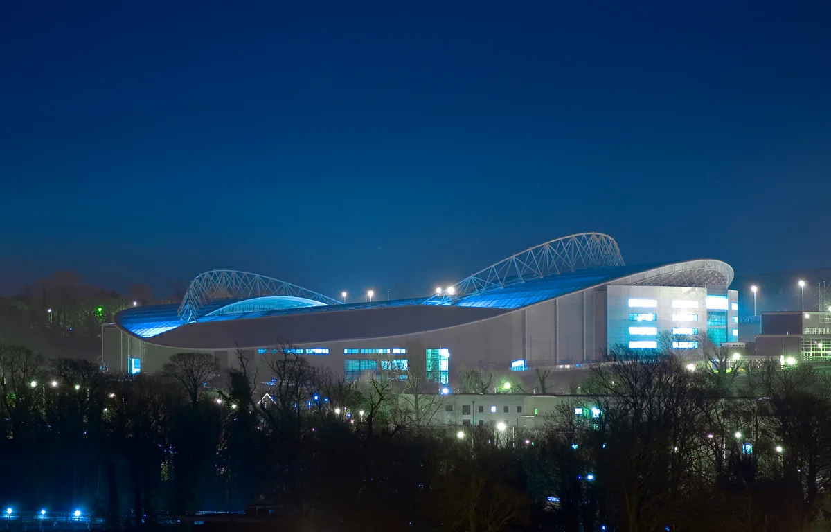
Brighton Community Stadium
Stadiums · 1.2 km
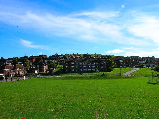
Bevendean Down
Wildlife reserves · 1.3 km

University of Sussex sign
Public art & sculpture · 1.3 km

Hodshrove Viaduct
Historic bridges · 1.4 km
Gardner Arts Centre
Theatres · 1.5 km

University of Sussex Mosque
Historic churches · 1.5 km

Heath Hill Farm
Historic houses · 1.5 km

University of Sussex Library
Historic libraries · 1.5 km

Professor Sir Harold Kroto
Memorials & monuments · 1.6 km

Giant Turtle #1
National landscapes (AONB) · 1.6 km

Giant Turtle #2
National landscapes (AONB) · 1.6 km
Nearby
📷 5Campsites · South East England
Chalky Downs Campsite
Chalky Downs Campsite — a campsite in england south east.
📷 5Stadiums · South East England
Brighton Community Stadium
Brighton Community Stadium — association football stadium in Brighton & Hove.
📷 5Wildlife reserves · South East England
Bevendean Down
Bevendean Down is a wildlife reserve in the United Kingdom.
📷 5Public art & sculpture · South East England
University of Sussex sign
University of Sussex sign — a public art in South East England, United Kingdom.
📷 5Historic bridges · South East England
Hodshrove Viaduct
Hodshrove Viaduct is a historic bridge in the United Kingdom.
📷 5Theatres · South East England
Gardner Arts Centre
Gardner Arts Centre — Grade II* listed building-listed theatre in england-south-east, United Kingdom.
Where to eat & stay near Falmer Hill
Places to stay
📷 5Campsites · South East England
Chalky Downs Campsite
Chalky Downs Campsite — a campsite in england south east.
 📷 5
Campsites · South East England
Housedean Farm Campsite
Housedean Farm Campsite — a campsite in england south east.
📷 5Campsites · South East England
Housedean Farm Campsite
Housedean Farm Campsite — a campsite in england south east.
 📷 5
 📷 5
 📷 5
Hotels · South East England
Cavalaire Hotel
Cavalaire Hotel — a hotel in england south east.
Places to eat & drink
 📷 5
Cafés · South East England
Cowley Club Café
Cowley Club Café — a café in england south east.
 📷 5
Historic pubs · South East England
Kissing Coppers
Kissing Coppers — Public artwork (graffiti) by Banksy.
 📷 5
Historic pubs · South East England
King and Queen, Brighton
King and Queen, Brighton in England South East, United Kingdom.
 📷 5
Cafés · South East England
June Cafe
June Cafe — a café in england south east.
 📷 5
Historic pubs · South East England
Marlborough Pub and Theatre
Marlborough Pub and Theatre in England South East, United Kingdom.
 📷 5
More mountains in this region
 📷 5
 📷 5
Mountains & hills · South East England
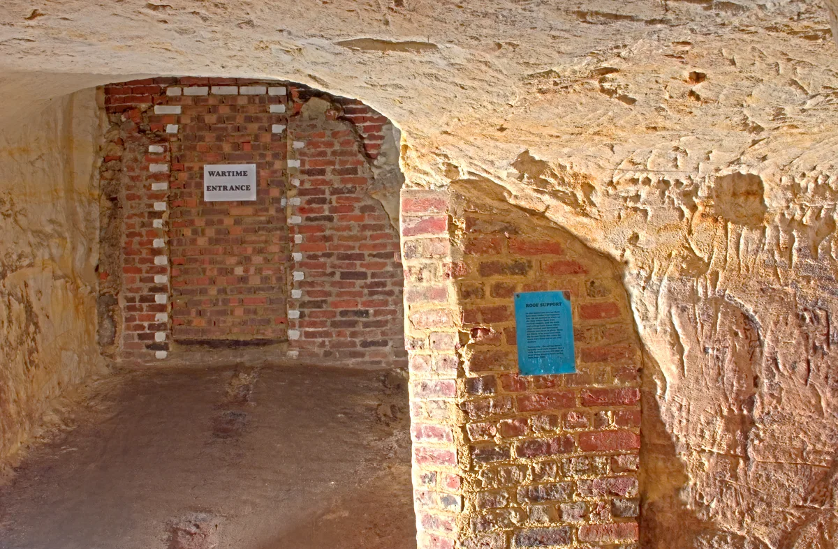
Reigate Caves
Reigate Caves is a mountain or hill in the United Kingdom.
 📷 5
Mountains & hills · South East England
North Downs
North Downs — a hill or mountain in england london.
 📷 5
Mountains & hills · South East England
Blue Bell Hill
Blue Bell Hill — a hill or mountain in england london.
Frequently asked questions
- Where is Falmer Hill?
- Falmer Hill is in South-East England, United Kingdom (postcode BN2 4PJ), in the parish of Brighton and Hove, unparished area.
- What is Falmer Hill?
- Falmer Hill — mountain in england south east. Elevation: 163 m.
- How do I get to Falmer Hill?
- The nearest railway station is Falmer, about 1.2 km away. The nearest town is Stanmer. Drivers can use postcode BN2 4PJ.
- How do I get to Falmer Hill?
- The nearest railway station is Falmer, about 1.2 km away. Drivers can navigate to postcode BN2 4PJ.