
Campsites · South East England
Chalky Downs Campsite
In or near Stanmer.
Chalky Downs Campsite — a campsite in england south east.

Paul Gillett — CC BY-SA 2.0 via Wikimedia Commons licence

Plan your visit
- Typical visit
- 1 h–2 h
- Nearest railway station
- Falmer · 2.2 km
About
Chalky Downs Campsite is a campsite located in england south east. Address: Brighton, BN2 6AF. Campsite listed with verified location and OSM metadata. Pitch availability, facilities (toilets, showers, electric hookup) and seasonal opening vary — confirm directly.
Photo gallery
Official information
Chalky Downs Campsite is a family-run campsite located on Bevendean Farm, offering a peaceful retreat in the South Downs with stunning views. Visitors can enjoy the countryside while being just a short drive from Brighton and the beach, and the site is family-friendly with various animals for children to see.
Place summary
Chalky Downs Campsite is located in South-East England, postcode BN2. This campsite offers a natural setting for outdoor enthusiasts, providing a space for camping amidst the landscape. Visitors can expect basic amenities suitable for a range of camping experiences. The site is ideal for those looking to explore the surrounding area while enjoying a tranquil outdoor environment.
AI-generated from the structured facts on this page (operator, designation, listing, era). Not a substitute for visiting.
- Coordinates
- 50.8424, -0.0834
- District
- Brighton and Hove
- Parish
- Brighton and Hove, unparished area
- Postcode
- BN2 6AF
- Parliamentary constituency
- Brighton Kemptown and Peacehaven
- Phone
- 01273 673004
- Nearest railway station
- Falmer — 2.2 km
- Opening
- May - September 9am–8pm
- Official site
- chalkydownscampsite.com
Sources
- osm: w609526774 (ODbL)
Other places nearby

Woodingdean Water Well
Natural landmarks · 0.9 km

Heath Hill Farm
Historic houses · 0.9 km

Falmer Hill
Mountains & hills · 1.1 km

Newmarket Hill
Mountains & hills · 1.1 km
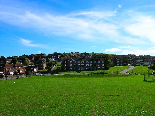
Bevendean Down
Wildlife reserves · 1.3 km

Bullock Hill
Mountains & hills · 1.7 km

Jewish Cemetery
Cemeteries · 1.8 km

City Cemetery
Cemeteries · 1.9 km

The Bevy
Memorials & monuments · 1.9 km

Hodshrove Viaduct
Historic bridges · 2.1 km
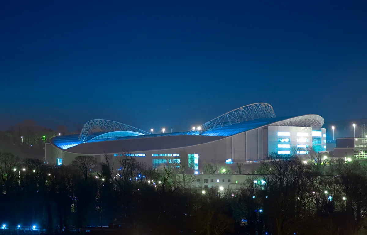
Brighton Community Stadium
Stadiums · 2.2 km

Whitehawk Hill Local Nature Reserve
Forests & woodlands · 2.3 km
Nearby
📷 5Natural landmarks · South East England
Woodingdean Water Well
Woodingdean Water Well — a place in South East England, United Kingdom.
📷 5Historic houses · South East England
Heath Hill Farm
Heath Hill Farm — a historic house in South East England, United Kingdom.
📷 5Mountains & hills · South East England
Falmer Hill
Falmer Hill — mountain in england south east. Elevation: 163 m.
📷 5Mountains & hills · South East England
Newmarket Hill
Newmarket Hill — mountain in england south east.
📷 5Wildlife reserves · South East England
Bevendean Down
Bevendean Down is a wildlife reserve in the United Kingdom.
📷 5Mountains & hills · South East England
Bullock Hill
Bullock Hill — mountain in england south east. Elevation: 196 m.
Where to eat & stay near Chalky Downs Campsite
Places to stay
 📷 5
 📷 5
Campsites · South East England
Housedean Farm Campsite
Housedean Farm Campsite — a campsite in england south east.
📷 5Campsites · South East England
Housedean Farm Campsite
Housedean Farm Campsite — a campsite in england south east.
 📷 5
 📷 5
Hotels · South East England
Cavalaire Hotel
Cavalaire Hotel — a hotel in england south east.
 📷 5
B&Bs · South East England
Red Brighton Blue
Red Brighton Blue — a bed-and-breakfast in england south east.
Places to eat & drink
 📷 5
Cafés · South East England
Cowley Club Café
Cowley Club Café — a café in england south east.
 📷 5
Cafés · South East England
June Cafe
June Cafe — a café in england south east.
 📷 5
Historic pubs · South East England
King and Queen, Brighton
King and Queen, Brighton in England South East, United Kingdom.
 📷 5
 📷 5
Historic pubs · South East England
Kissing Coppers
Kissing Coppers — Public artwork (graffiti) by Banksy.
 📷 5
Historic pubs · South East England
Marlborough Pub and Theatre
Marlborough Pub and Theatre in England South East, United Kingdom.
More places in this region
 📷 5
Campsites · South East England
Hammonds Glamping
Hammonds Glamping — a campsite in england london.
 📷 5
Campsites · South East England
Chantry Wood Campsite
Chantry Wood Campsite — a campsite in england london.
 📷 5
Campsites · South East England
Ranmore Common Campsite
Ranmore Common Campsite — a campsite in england london.
 📷 5
Frequently asked questions
- Where is Chalky Downs Campsite?
- Chalky Downs Campsite is in South-East England, United Kingdom (postcode BN2 6AF), in the parish of Brighton and Hove, unparished area.
- What is Chalky Downs Campsite?
- Chalky Downs Campsite — a campsite in england south east.
- How do I get to Chalky Downs Campsite?
- The nearest railway station is Falmer, about 2.2 km away. The nearest town is Stanmer. Drivers can use postcode BN2 6AF.
- How do I get to Chalky Downs Campsite?
- The nearest railway station is Falmer, about 2.2 km away. Drivers can navigate to postcode BN2 6AF.