
Mountains & hills · North West England
Fairfield horseshoe
In or near Rydal.
Fairfield Horseshoe is a classic circular hillwalking ridge walk route starting from Rydal or Ambleside in the English Lake District that takes in all the fells that surround the valley of the Rydal B

Bill Boaden — CC BY-SA 2.0 via Wikimedia Commons licence

Plan your visit
- Typical visit
- 3 h–8 h
- Best time of year
- Late spring – early autumn (May–Oct)
- Nearest railway station
- Windermere · 10.0 km
- Dog-friendly
About
Fairfield Horseshoe is a classic circular hillwalking ridge walk route starting from Rydal or Ambleside in the English Lake District that takes in all the fells that surround the valley of the Rydal Beck.
Photo gallery
Protected designations
- Site of Special Scientific Interest: River Eden and Tributaries SSSI
Designations sourced from Natural England open data under OGL v3.
From the Wikipedia article
Fairfield Horseshoe is a classic circular hillwalking ridge walk route starting from Rydal or Ambleside in the English Lake District that takes in all the fells that surround the valley of the Rydal Beck.
Excerpt from Wikipedia under CC BY-SA 4.0. See the source article linked in Sources below.
Background
Description
The walk is extremely popular and follows well defined paths throughout with no real difficulties; however, care should be taken on the summit of Fairfield in poor visibility as the plateau of that mountain is very flat and can be quite confusing, with the danger of steep drops to the north and west. The eastern side of the horseshoe from Low Sweden Bridge near Ambleside to the slopes of Hart Crag follows a high dry stone wall, covering some six kilometres, making navigation simple even in poor weather conditions. One of Wainwright’s favourite ridge walks, the round was described by him as “a great horseshoe of grassy slopes below a consistently high skyline, simple in design and impressive…
Sourced from Wikipedia under CC BY-SA 4.0.
- Coordinates
- 54.4608, -2.9687
- District
- Westmorland and Furness
- Parish
- Lakes
- Postcode
- LA22 9LX
- Parliamentary constituency
- Westmorland and Lonsdale
- Nearest railway station
- Windermere — 10 km
Sources
- wikipedia: Fairfield horseshoe (CC BY-SA 4.0)
Other places nearby
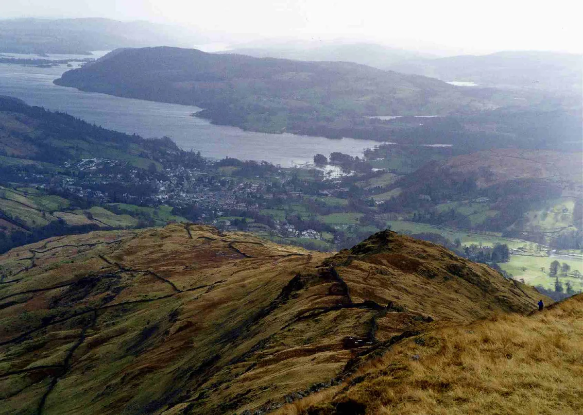
Low Pike
Mountains & hills · 0.2 km

Buckstones Jump
Waterfalls · 0.6 km
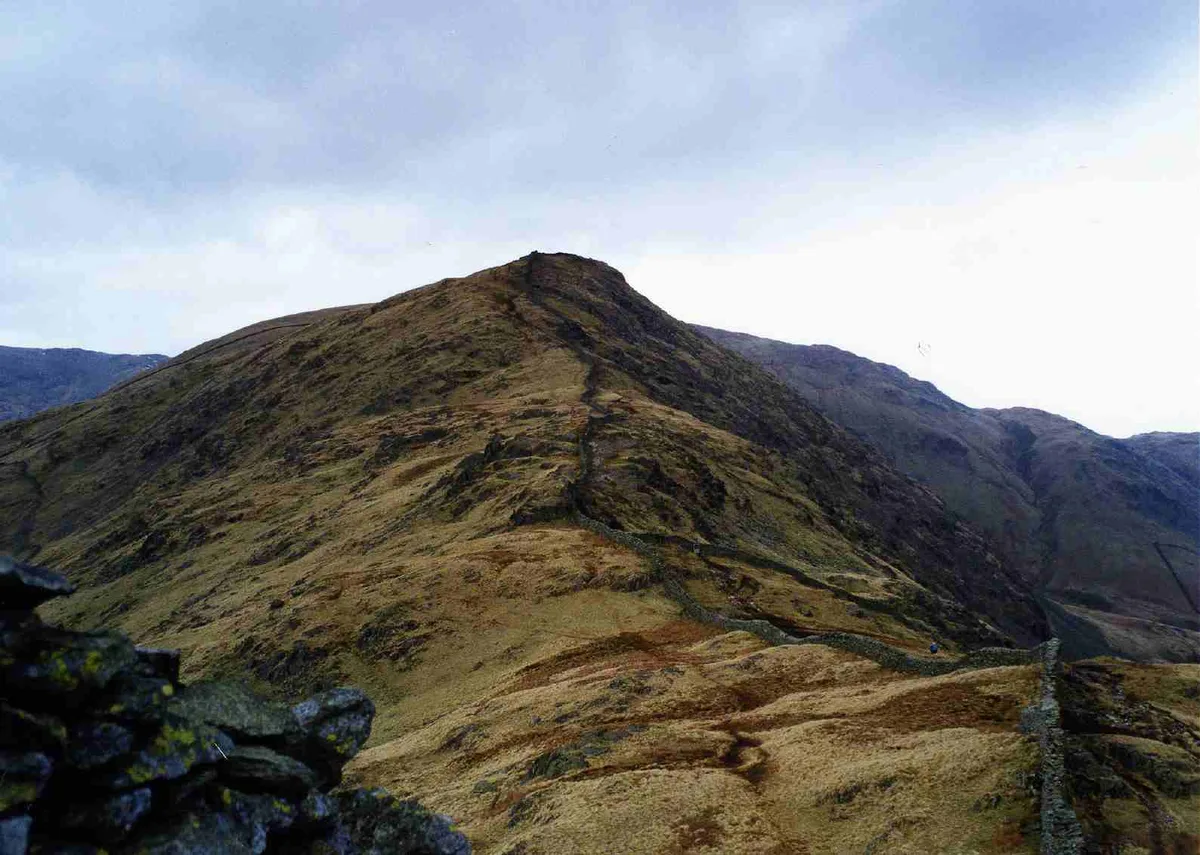
High Pike
Natural landmarks · 1.0 km

High Pike (Scandale)
Mountains & hills · 1.1 km
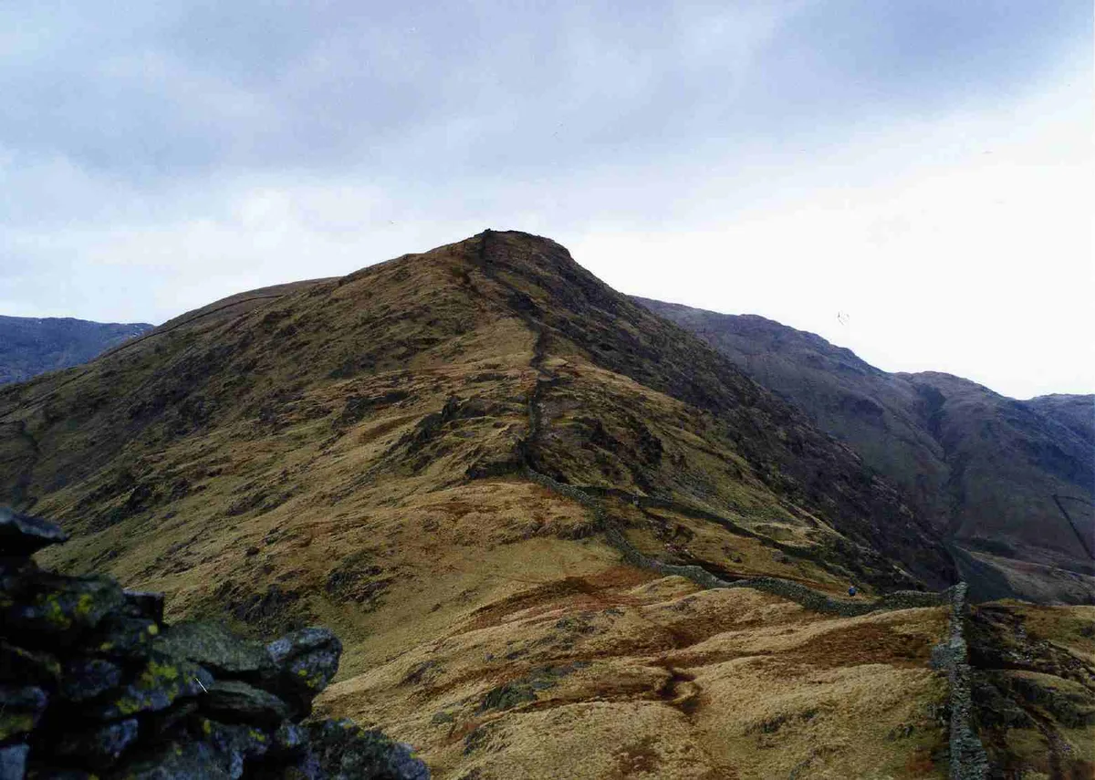
High Pike
Mountains & hills · 1.1 km

High Fall
Waterfalls · 1.2 km

Rydal Hall Campsite
Campsites · 1.4 km

Rydal Hall Youth Centre Bunkhouse
Hostels · 1.5 km

The Grot
Natural landmarks · 1.5 km

The Jubilee Figure
Public art & sculpture · 1.5 km

Rydal Hall
Hotels · 1.5 km

Rydal Hall
Historic bridges · 1.5 km
Nearby
📷 5📷 5📷 3📷 5Mountains & hills · North West England
High Pike (Scandale)
High Pike (Scandale) — a hill or mountain in england north west.
📷 3📷 5Where to eat & stay near Fairfield horseshoe
Places to stay
📷 5Campsites · North West England
Rydal Hall Campsite
Rydal Hall Campsite — a campsite in england north west.
📷 5Hostels · North West England
Rydal Hall Youth Centre Bunkhouse
Rydal Hall Youth Centre Bunkhouse — a hostel in england north west.
📷 6 📷 6
📷 6Hotels · North West England
Glen Rothay Hotel
Glen Rothay Hotel — a hotel in england north west.
 📷 5
📷 5Hotels · North West England
Swan Hotel
Swan Hotel — a hotel in england north west.
 📷 7
📷 7Hotels · North West England
Grasmere Hotel
Grasmere Hotel — a hotel in england north west.
Places to eat & drink
 📷 5
📷 5Historic pubs · North West England
Golden Rule Hotel
Golden Rule Hotel in England North West, United Kingdom.
 📷 7
📷 7Historic pubs · North West England
The Travellers Rest
The Travellers Rest in England North West, United Kingdom.
 📷 5
📷 5Restaurants · North West England
Holbeck Ghyll Restaurant
Holbeck Ghyll Restaurant — a restaurant in england north west.
 📷 4
📷 4Restaurants · North West England
Holbeck Ghyll
Holbeck Ghyll is a restaurant located in Windermere, Cumbria, England. "The late 19th century building was once Lord Lonsdale's hunting lodge and only became a hotel in the 1970s. It won a Michelin st
📷 5Historic pubs · North West England
Holbeck Ghyll
Holbeck Ghyll in England North West, United Kingdom.
 📷 5
📷 5Historic pubs · North West England
Sun Cottage Sun Inn Public House
Sun Cottage Sun Inn Public House in England North West, United Kingdom.
More mountains in this region
 📷 5
📷 5Mountains & hills · North West England
Appleton Park
Appleton Park — a hill or mountain in england west midlands.
 📷 5
📷 5Mountains & hills · North West England
High Warren
High Warren — mountain in england west midlands. Elevation: 105 m.
 📷 5
📷 5Mountains & hills · North West England
Alderley Edge
Alderley Edge — mountain in england west midlands. Elevation: 194 m.
 📷 3
📷 3Frequently asked questions
- Where is Fairfield horseshoe?
- Fairfield horseshoe is in North-West England, United Kingdom (postcode LA22 9LX), in the parish of Lakes.
- What is Fairfield horseshoe?
- Fairfield Horseshoe is a classic circular hillwalking ridge walk route starting from Rydal or Ambleside in the English Lake District that takes in all the fells that surround the valley of the Rydal B
- How do I get to Fairfield horseshoe?
- The nearest railway station is Windermere, about 10.0 km away. Drivers can use postcode LA22 9LX.
- Is Fairfield horseshoe a protected site?
- Yes — Fairfield horseshoe is part of the River Eden and Tributaries SSSI Site of Special Scientific Interest.
- How do I get to Fairfield horseshoe?
- Drivers can navigate to postcode LA22 9LX. It sits within the Westmorland and Lonsdale parliamentary constituency.